Elevation map of Jety - Oguz, Kyrgyzstan
Location: Kyrgyzstan > Ysyk Kol Province >
Longitude: 78.1108279
Latitude: 41.7758195
Elevation: 3810m / 12500feet
Barometric Pressure: 63KPa
Elevation Map:
Satellite Map:
Related Photos:
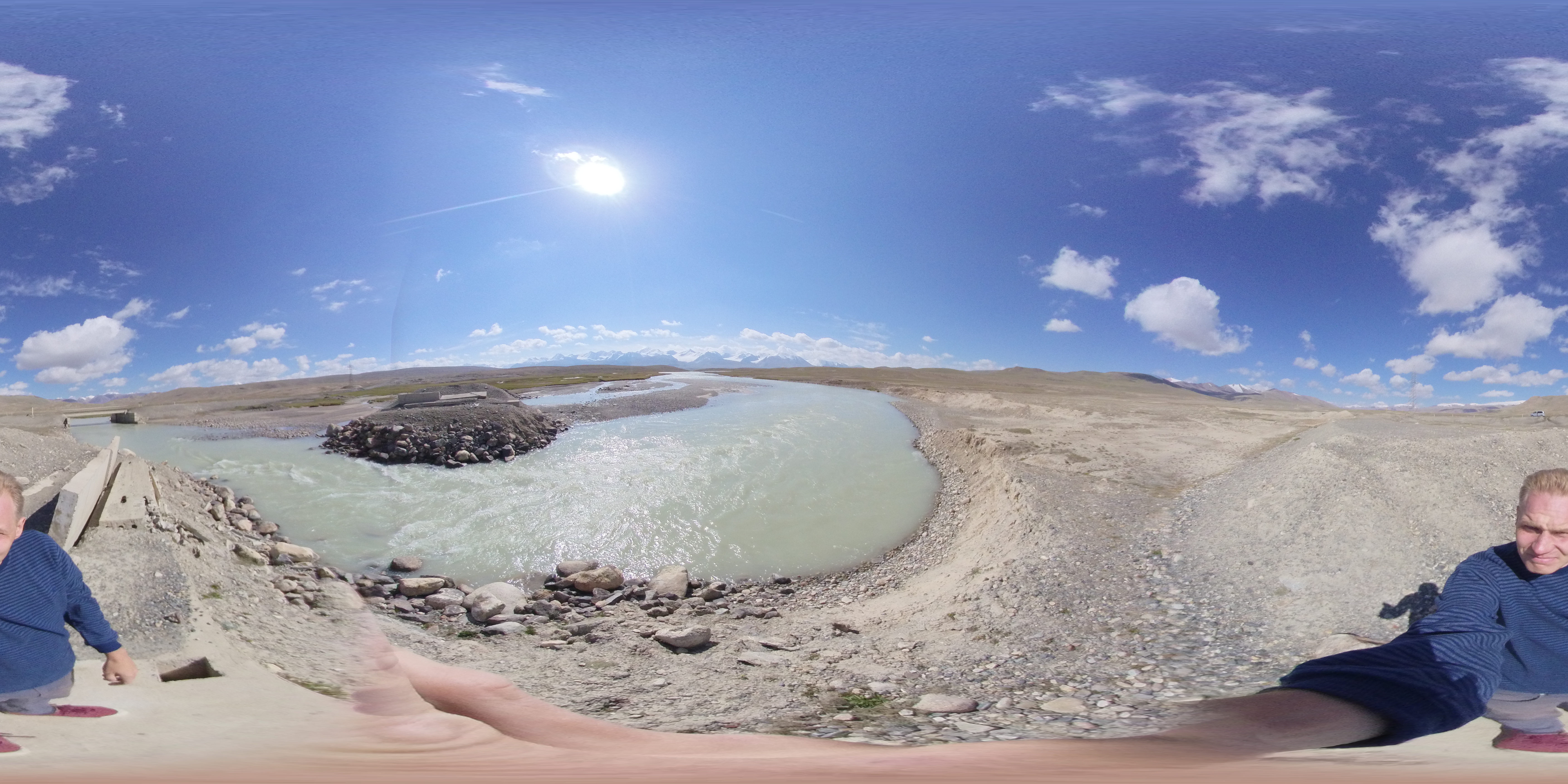
Kuntor

Glacier du pic SNK Kirgisii (Conseil des Commissaires du Peuple du Kirghizistan)

Kyrgyz boy and his proud father
Topographic Map of Jety - Oguz, Kyrgyzstan
Find elevation by address:

Places in Jety - Oguz, Kyrgyzstan:
Places near Jety - Oguz, Kyrgyzstan:
Recent Searches:
- Elevation of Corso Fratelli Cairoli, 35, Macerata MC, Italy
- Elevation of Tallevast Rd, Sarasota, FL, USA
- Elevation of 4th St E, Sonoma, CA, USA
- Elevation of Black Hollow Rd, Pennsdale, PA, USA
- Elevation of Oakland Ave, Williamsport, PA, USA
- Elevation of Pedrógão Grande, Portugal
- Elevation of Klee Dr, Martinsburg, WV, USA
- Elevation of Via Roma, Pieranica CR, Italy
- Elevation of Tavkvetili Mountain, Georgia
- Elevation of Hartfords Bluff Cir, Mt Pleasant, SC, USA