Elevation of Jerico Springs, MO, USA
Location: United States > Missouri > Cedar County > Benton Township >
Longitude: -94.008551
Latitude: 37.6222649
Elevation: 310m / 1017feet
Barometric Pressure: 98KPa
Elevation Map:
Satellite Map:
Related Photos:
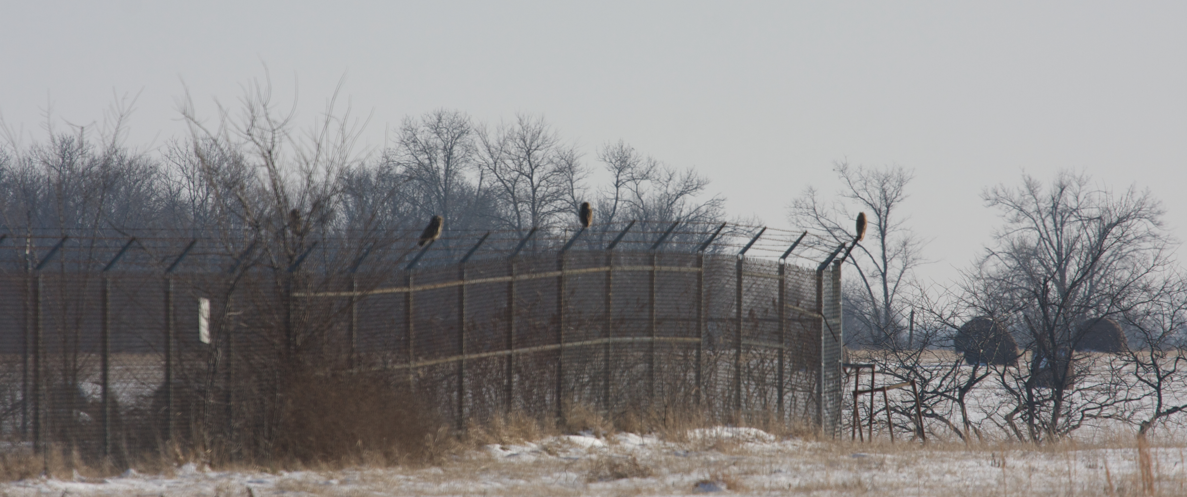
Short-eared Owls

Smith's Longspur - Dade Co, Mo

Smith's Longspur - Dade Co, Mo

Smith's Longspur - Dade Co, Mo

Harris's Sparrow - Dade Co, Mo
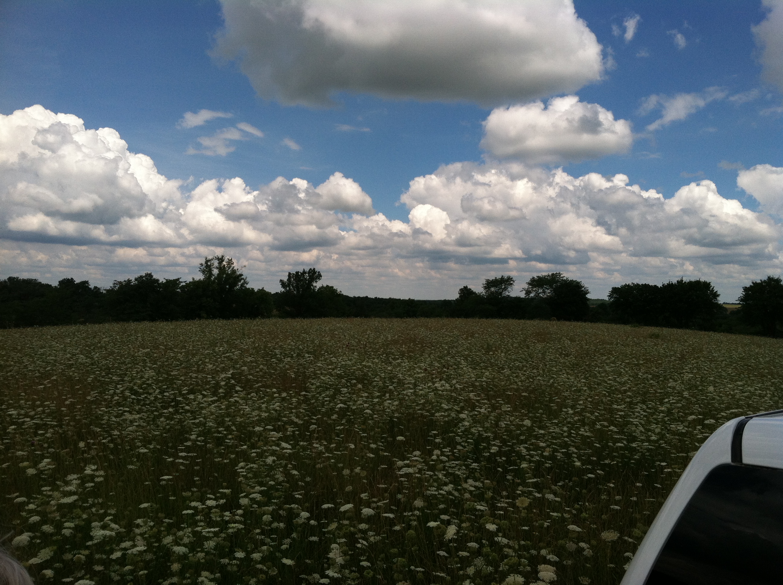
2013 06 farm 191
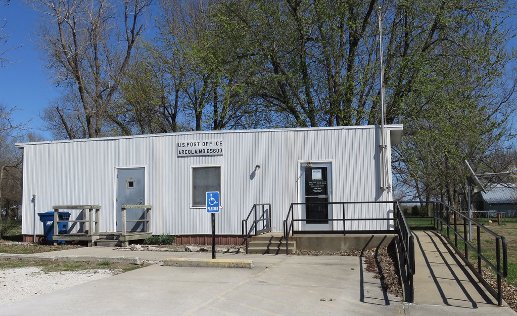
Post Office 65603 (Arcola, Missouri)
Topographic Map of Jerico Springs, MO, USA
Find elevation by address:

Places in Jerico Springs, MO, USA:
Places near Jerico Springs, MO, USA:
State Hwy 97, Jerico Springs, MO, USA
Benton Township
Dade County
S Rd, El Dorado Springs, MO, USA
Linn Township
Cedar County
7190 51 Rd
7190 51 Rd
7190 51 Rd
Box Township
12470 E 1100 Rd
State Highway U
3475 E 500 Rd
Route Bb
3475 E 380 Rd
3475 E 380 Rd
Stockton
County Rd H, Greenfield, MO, USA
Lamar Township
1401 S Park St
Recent Searches:
- Elevation of Corso Fratelli Cairoli, 35, Macerata MC, Italy
- Elevation of Tallevast Rd, Sarasota, FL, USA
- Elevation of 4th St E, Sonoma, CA, USA
- Elevation of Black Hollow Rd, Pennsdale, PA, USA
- Elevation of Oakland Ave, Williamsport, PA, USA
- Elevation of Pedrógão Grande, Portugal
- Elevation of Klee Dr, Martinsburg, WV, USA
- Elevation of Via Roma, Pieranica CR, Italy
- Elevation of Tavkvetili Mountain, Georgia
- Elevation of Hartfords Bluff Cir, Mt Pleasant, SC, USA