Elevation of Jennings Rd, Statesville, NC, USA
Location: United States > North Carolina > Iredell County > Statesville >
Longitude: -80.871916
Latitude: 35.913654
Elevation: 283m / 928feet
Barometric Pressure: 98KPa
Elevation Map:
Satellite Map:
Related Photos:
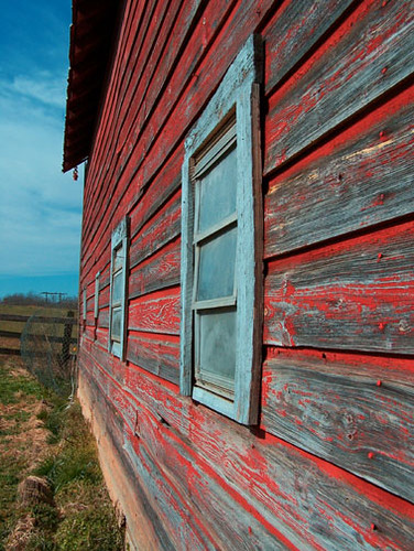
Side View

View from my tent in Statesville, NC
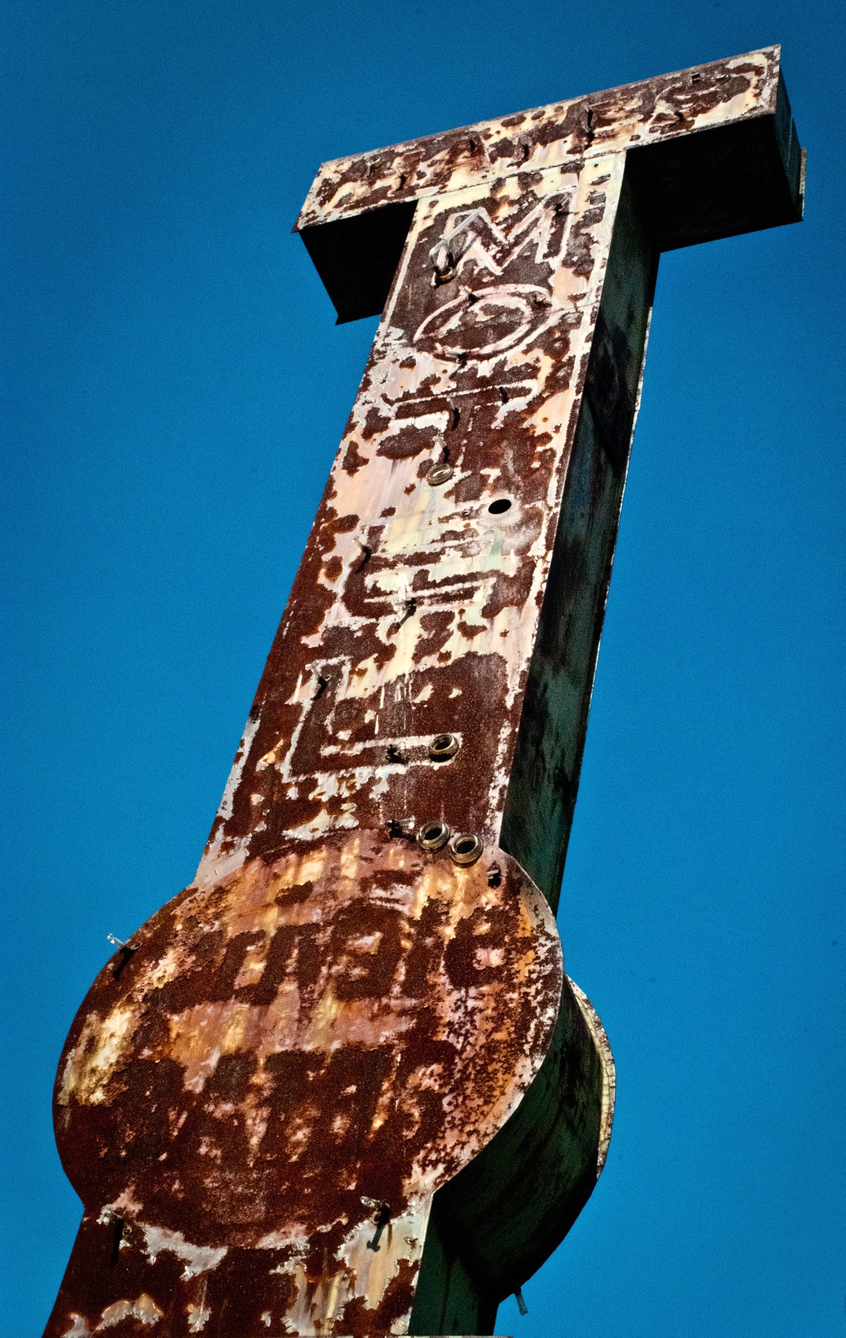
HAYES MOTEL
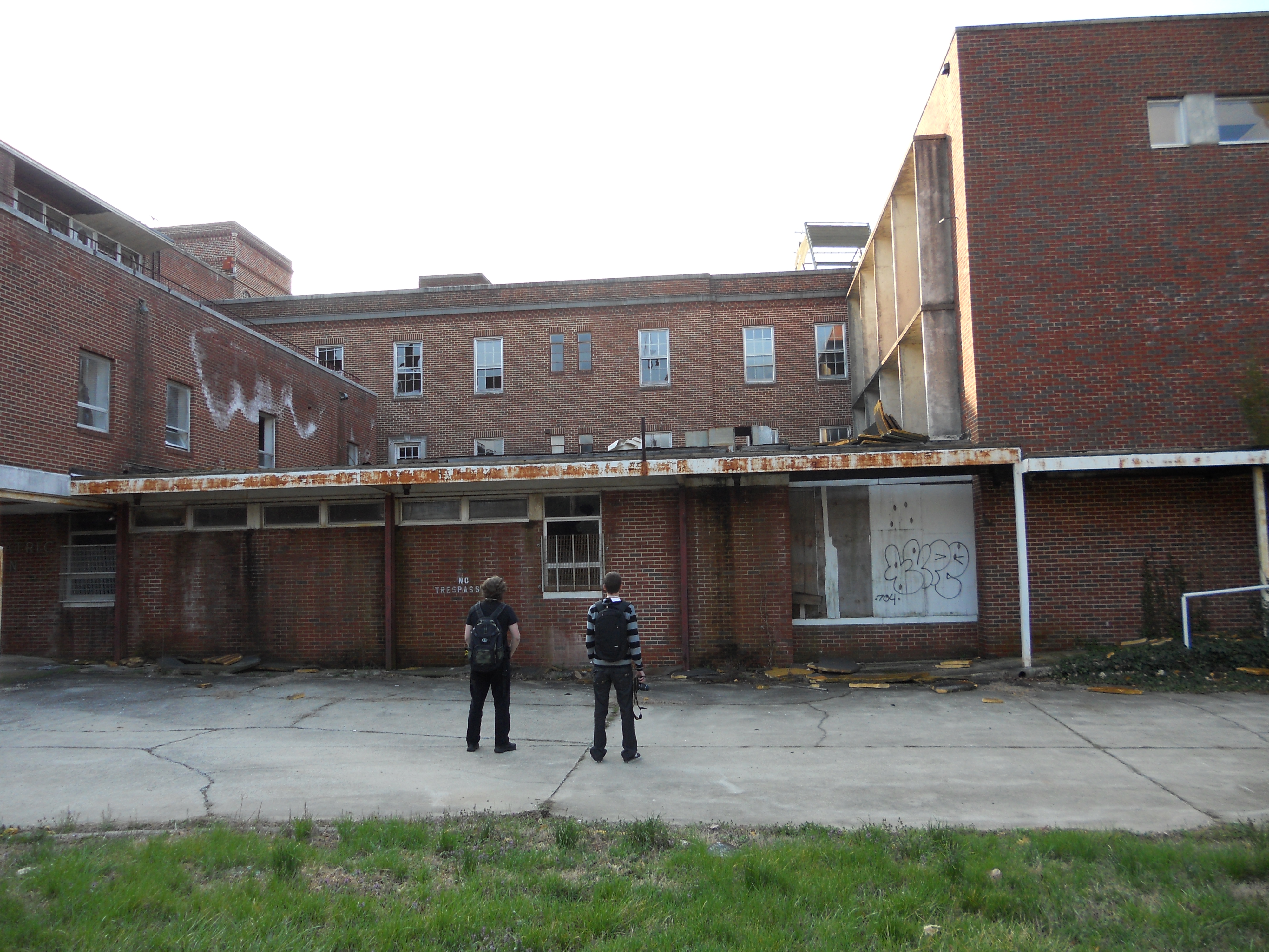
Old Davis Hospital

0198 Fort Dobbs Img_5528

Jumping In!
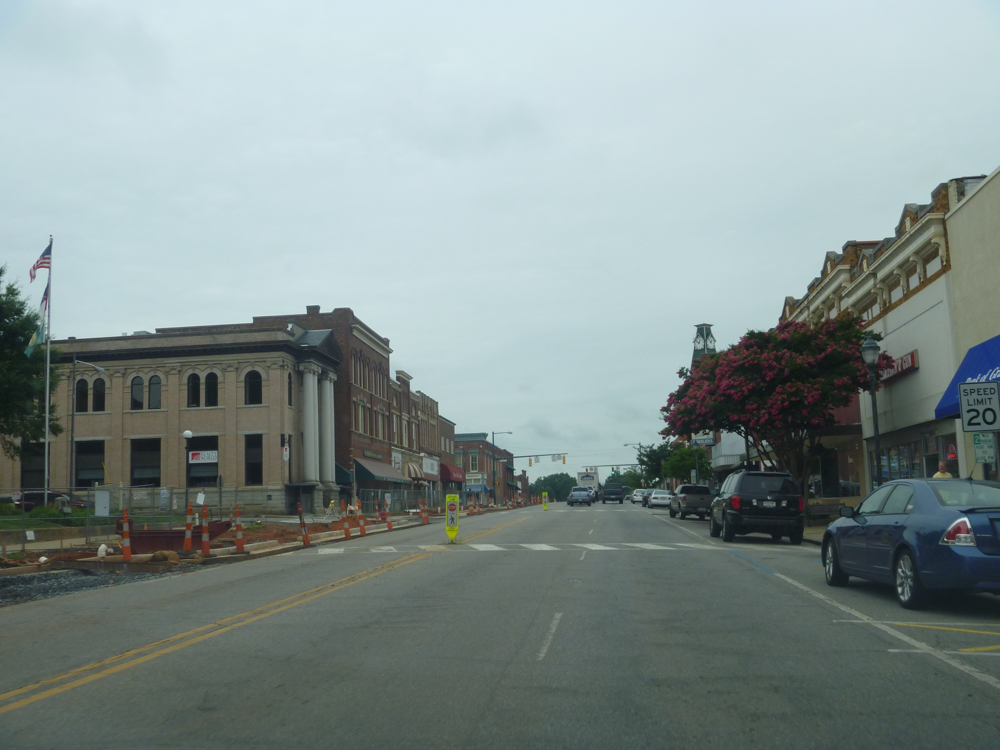
Northward View Of Downtown Statesville NC
Southward View Of Downtown Statesville NC
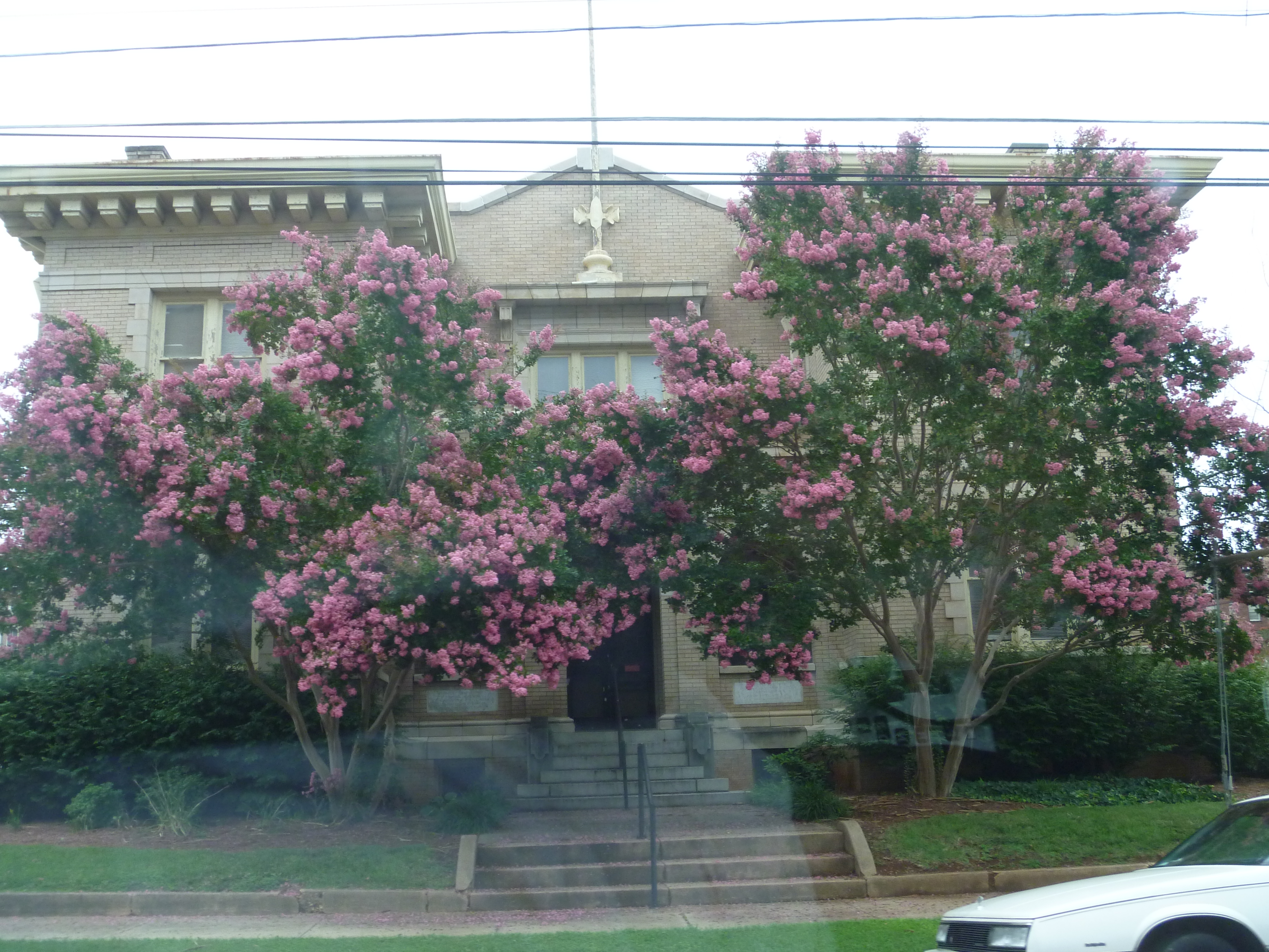
Backside View, Old Iredell County Courthouse
160415-0843 Union Grove-Pano
160415-0850 Union Grove-Pano

Room with a view.
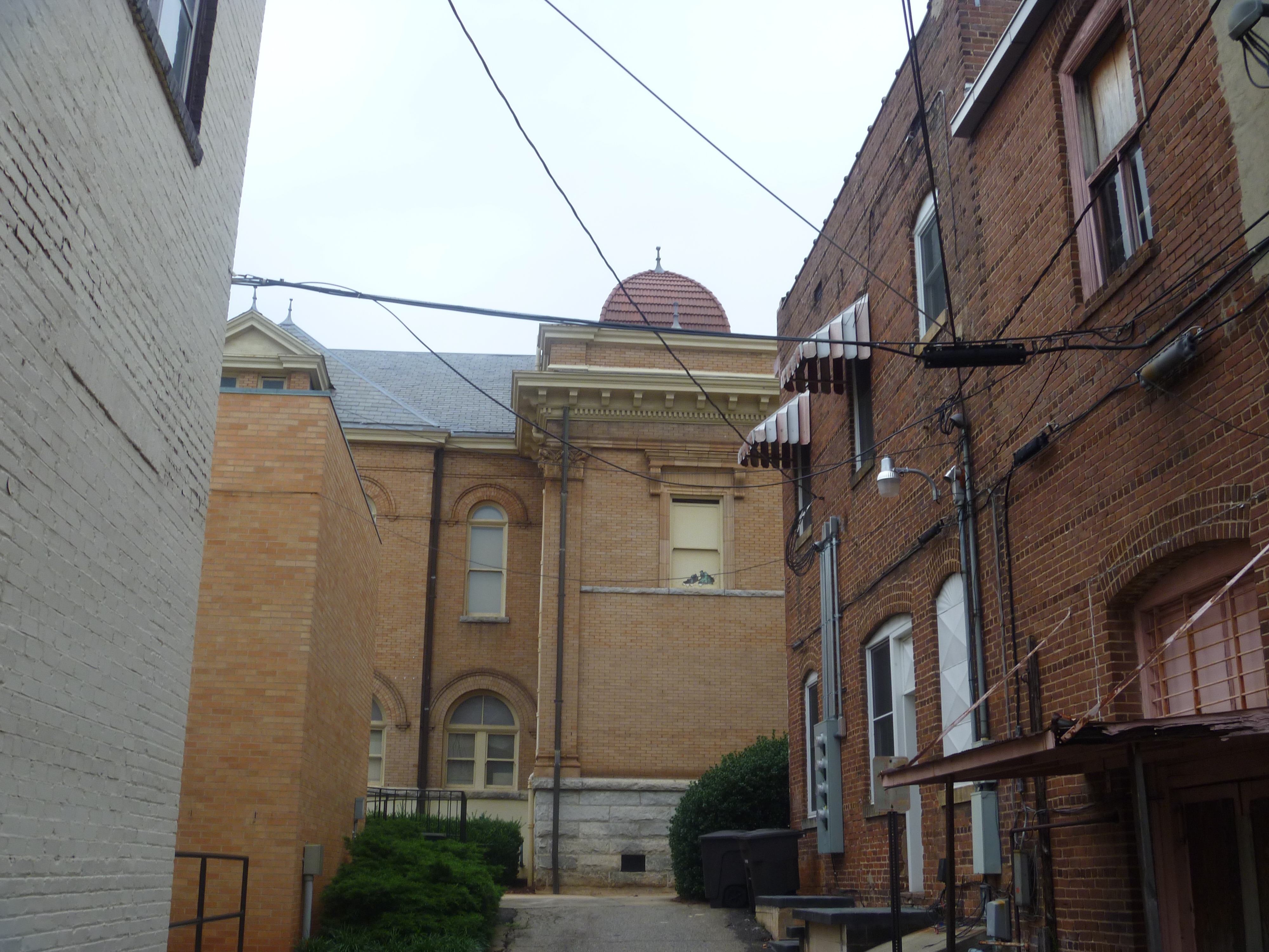
Front View,Old Iredell County Jail
Side View, Old Iredell County Courthouse

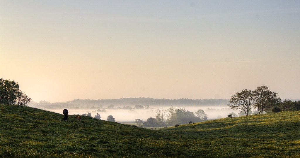
Cows in the buttercups in the fog of morning (HDR)
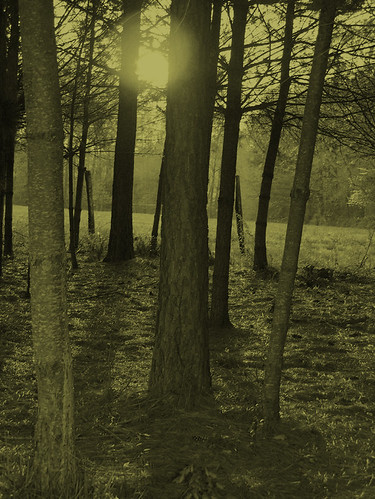
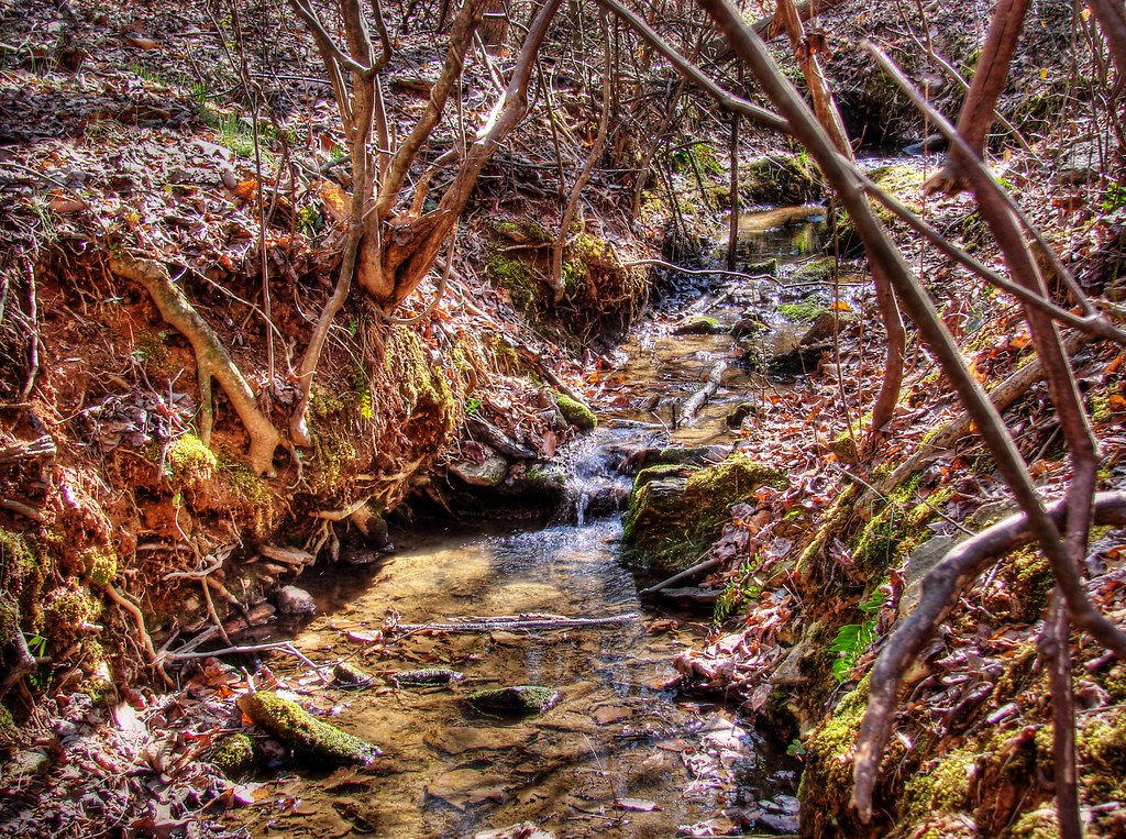
Through the Trees
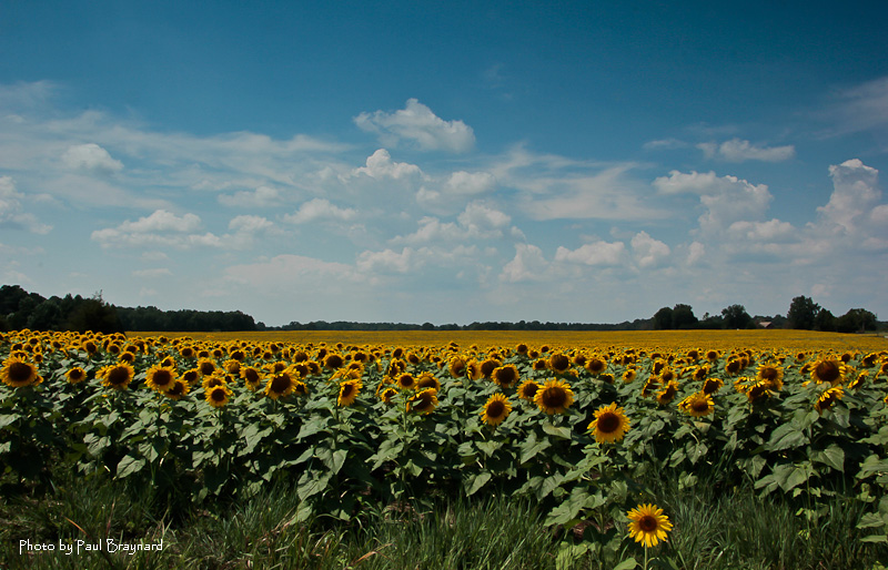
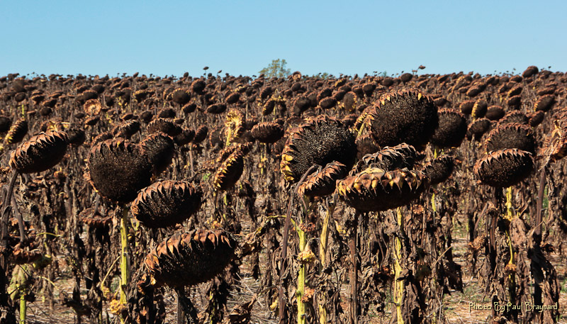
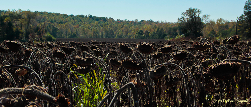
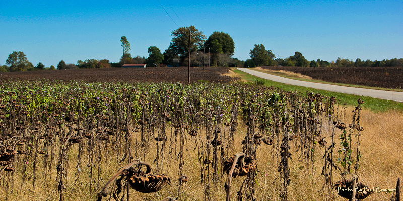
Field of Sunflowers

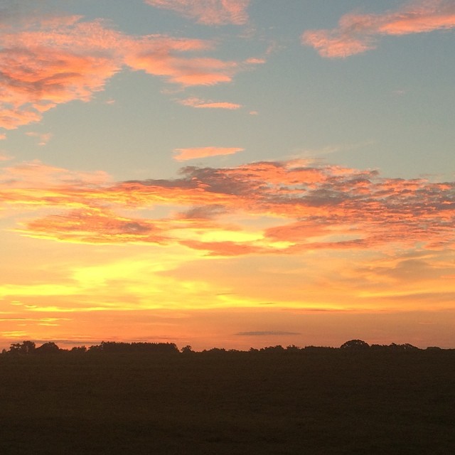
#chasingsunsets

Lakewood Park

#fall #sunset
Cows in the buttercups as the fog rolls away. (HDR)
2012-Oct-16-18-1
2012-Oct-16-29-1
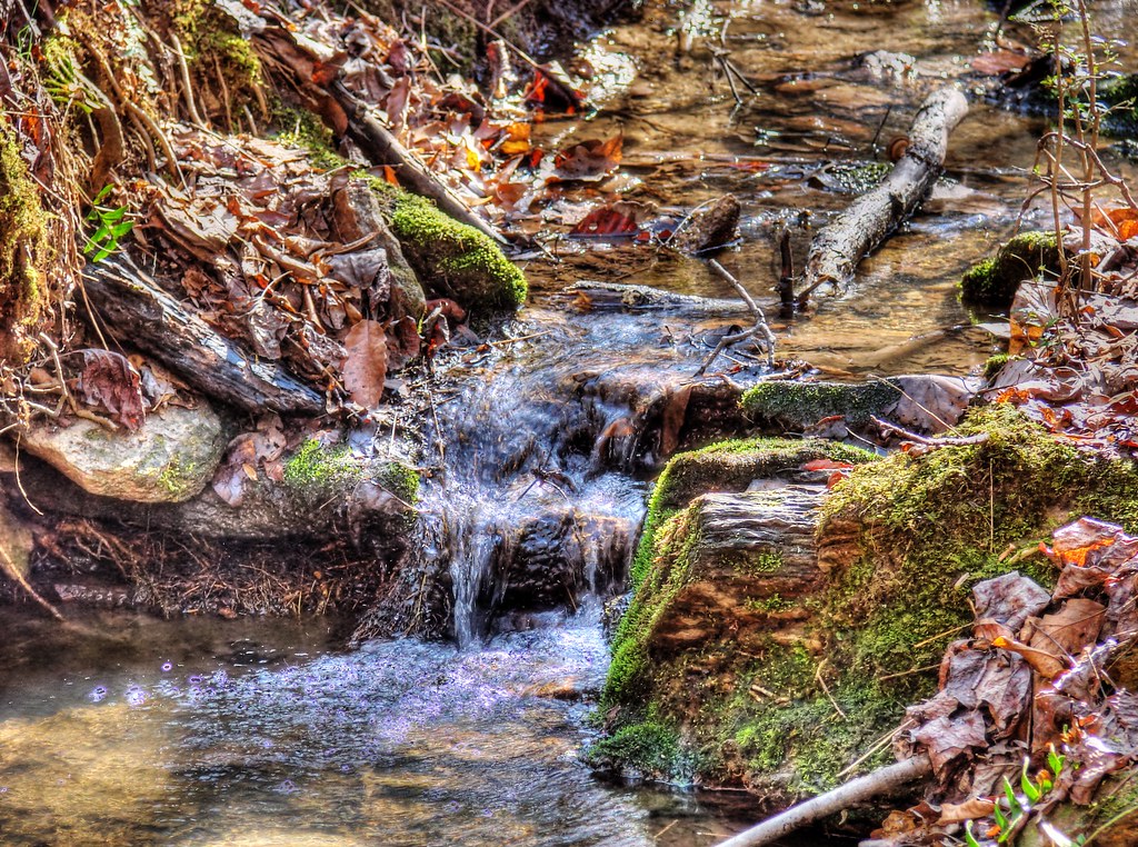
Cool Spring (HDR)
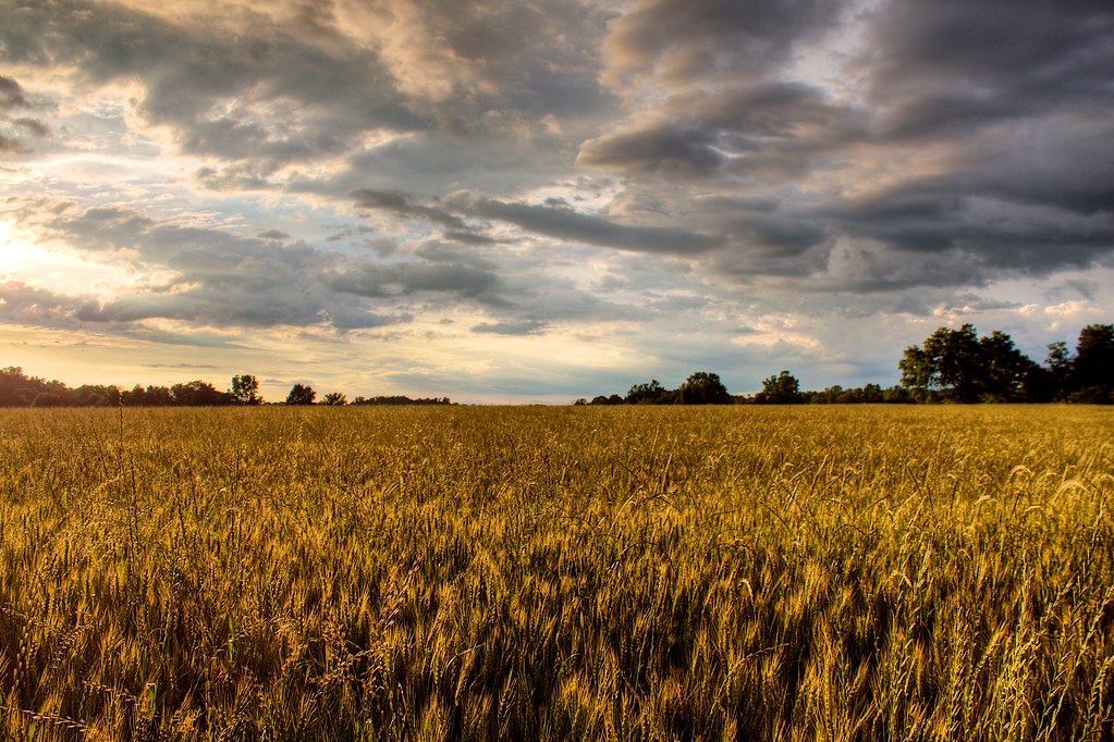
Late evening light (HDR)
Last #sunrise from Statesville #nofilter

All Heads Will Bow
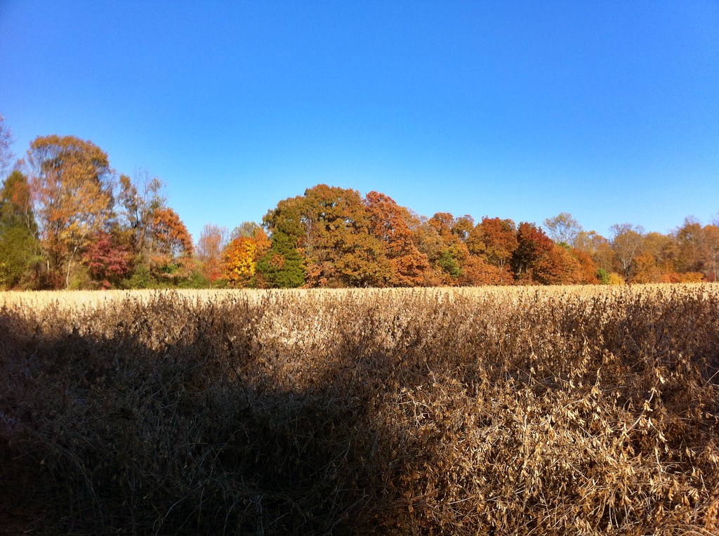
Soybean field
2012-Oct-16-36-1

A sea of canola #nofilter #biofuel #energy #green
2012-Oct-16-47-1
Cool Spring (HDR)

#Dew
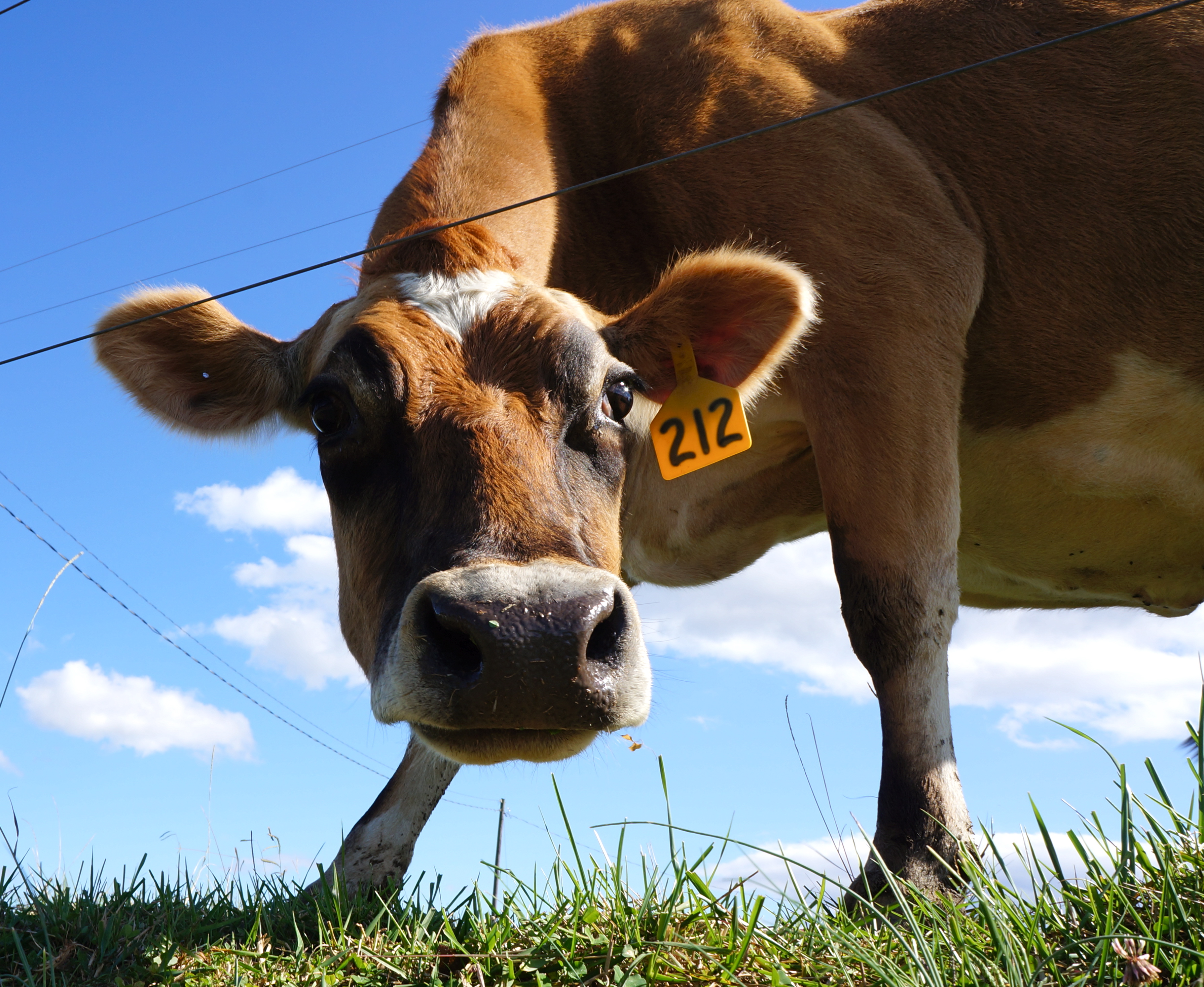
Hello! My name is 212
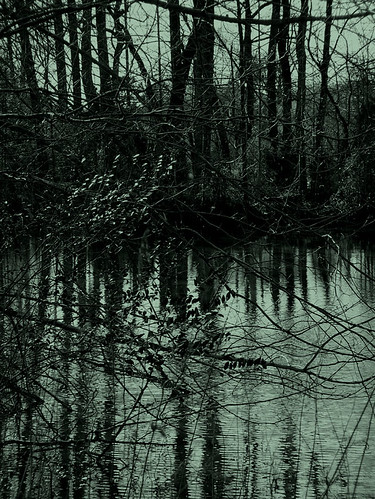
At the Pond 3
Topographic Map of Jennings Rd, Statesville, NC, USA
Find elevation by address:

Places near Jennings Rd, Statesville, NC, USA:
Olin
132 Sundance Cir
South Yadkin River Road
Wilkesboro Hwy, Statesville, NC, USA
Sharpesburg
Echo Glen Drive
Union Grove
210 Howards Bridge Rd
467 Westglow Rd
226 Mccarran Trail
Love Valley
Concord
New Hope
85 Harris Bridge Rd
85 Harris Bridge Rd
Poplar Springs Road
1395 Huckleberry Ridge Rd
9896 Cheatham Ford Rd
Stony Point
8170 Nc-90
Recent Searches:
- Elevation of Corso Fratelli Cairoli, 35, Macerata MC, Italy
- Elevation of Tallevast Rd, Sarasota, FL, USA
- Elevation of 4th St E, Sonoma, CA, USA
- Elevation of Black Hollow Rd, Pennsdale, PA, USA
- Elevation of Oakland Ave, Williamsport, PA, USA
- Elevation of Pedrógão Grande, Portugal
- Elevation of Klee Dr, Martinsburg, WV, USA
- Elevation of Via Roma, Pieranica CR, Italy
- Elevation of Tavkvetili Mountain, Georgia
- Elevation of Hartfords Bluff Cir, Mt Pleasant, SC, USA