Elevation of Jennersdorf District, Austria

Location: Austria > Burgenland >

Longitude: 16.12961

Latitude: 46.93712

Elevation: 250m / 820feet

Barometric Pressure: 98KPa

Elevation Map:

elevation map of Jennersdorf District, Austria

Satellite Map:

Satellite map of Jennersdorf District, Austria

Related Photos:

blue sky sun color green nature grass night canon landscape photography eos austria see colorful long exposure flickr view outdoor sommer rene fisheye pi solstice rené 8mm teich feuer sonne walimex burgenland feier sonnwendfeier badesee badeteich pyranha twitter naturbadesee sonnwende 60d festivalcelebration königsdorf sommersonnwende südburgenland suedburgenland pirker sommersonnwendfeier
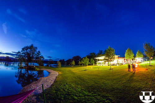
Summer Solstice Celebration Königsdorf
panorama temple hungary view templom panoráma szentgotthárd
Szentgotthárd
6x6 film architecture analog fujirdp hasselbladswc
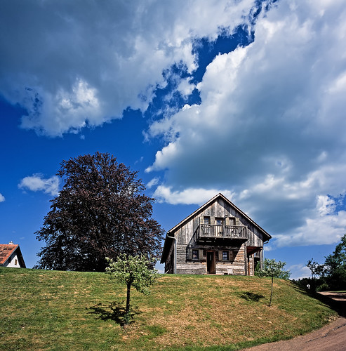
Rural Style Hotel
View from wippl
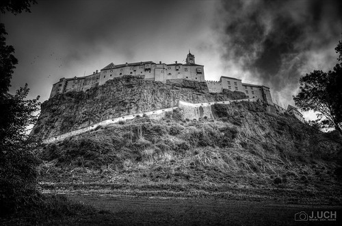
bw white black castle dark austria österreich nikon gimp sw monochrom weiss schwarz veste dunkel steiermark burg riegersburg d5100
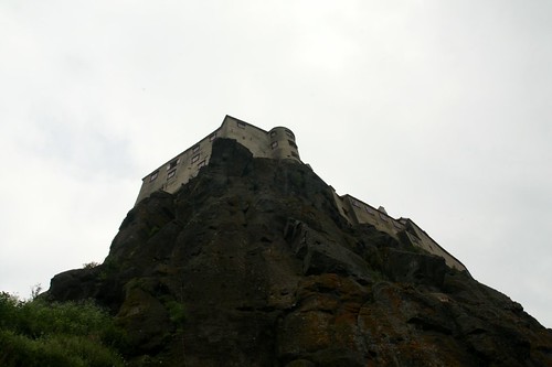
Veste Riegersburg
cloudscape exposureblending
Home Is ...
wallpaper panorama österreich panoramas christian alpen steiermark vulcano panarama styria hintergrund vulkan pfluegl panoramaview kapfenstein pflügl chpfluegl christianpflügl
Schichtungen der letzten Ausbrüche
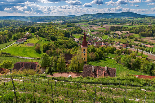
wallpaper panorama österreich panoramas christian alpen steiermark vulcano panarama styria hintergrund vulkan pfluegl panoramaview kapfenstein pflügl chpfluegl christianpflügl
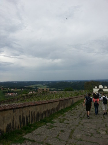
Ausblick übers Vulkanland vom Weingarten aus
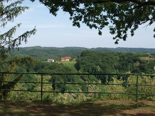
panorama castle austria österreich view ruin olympus ruine hulk aussicht 2009 burgenland burg neuhaus castleruin fourthirds e520 zuiko1442 olympuse520 neuhausamklausenbach burgruiene
Place with a view
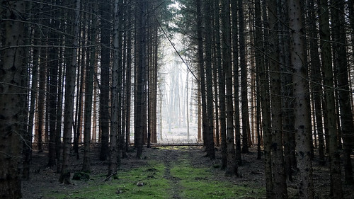
wood nature forest gate hungary magyarország erdő szentgotthárd őrség máriaújfalu hársastó flickrandroidapp:filter=none
the gate of the forest
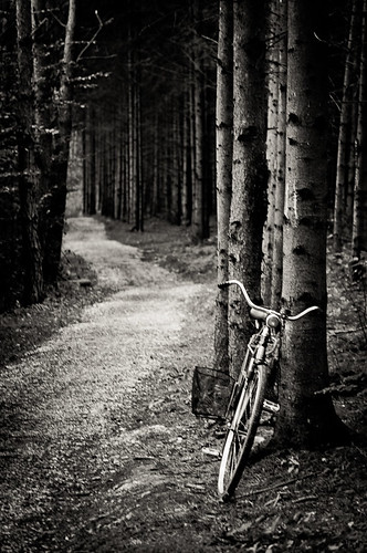
blackandwhite monochrome bike forest way hungary path pathways hársas máriaújfalu
bike in the woods
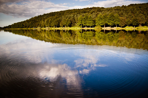
blue sky cloud reflection green nature landscape hungary
ripples on the water
lake reflection forest hungary hársas máriaújfalu
along the lake
lake tó hársas
Hársas tó
2012-11-03-237
travel geotagged colorful europe d70 nikond70 f14 1870mmf3545g slovenia slovenija nikkor 1640 goricko majamarko geotoolgmif 27mm35mmequiv geolat46825748 geolon16045640
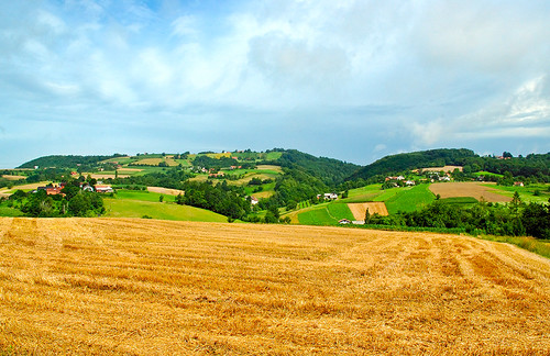
Harvest time
2012-11-04-243
film tv 2006 macska nikonf90x fujisuperia400 tél farkasfa hideg negatív nikkor3580mm évvége
Farkasfa 2006
2012-11-04-246
bach spiegelung auwaldwasser
Am Fischteichweg
2012-11-04-249
Sommer 2010
suisse
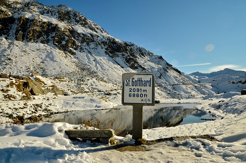
au col du St Gotthard (Alpes Suisses), la porte vers l'Italie
panorama
near to Austria-Hungary border
2014-05-26_04-11-48
square squareformat iphoneography instagramapp uploaded:by=instagram
I don't know if you can see it but there was a double rainbow in tonight's torrential rainstorm tonight. But dazzling sun too #Styria
geotagged geo:lon=15942512700 geo:lat=46998874800
IMG_7012(1)
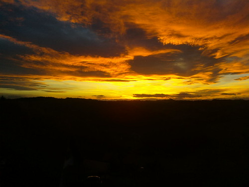
blue sky orange sun clouds canon eos austria österreich sonnenuntergang himmel wolken tamron sonne wald bäume steiermark styria fürstenfeld 1750mm 60d
unedited | at home