Elevation of Jefferson St N, Wadena, MN, USA
Location: United States > Minnesota > Wadena County > Wadena >
Longitude: -95.136147
Latitude: 46.4425807
Elevation: 412m / 1352feet
Barometric Pressure: 96KPa
Elevation Map:
Satellite Map:
Related Photos:
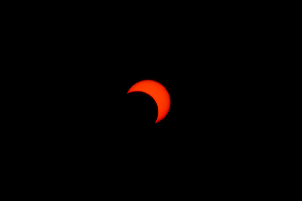
A Crescent Sun
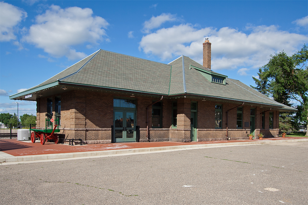
Wadena Depot

TRAM10_7299.jpg

TRAM10_6984.jpg

TRAM10_7252.jpg

TRAM10_7151.jpg

TRAM10_7376.jpg
Perham-2013-SF-005

2013-10-10 12.17.02

2013-10-10 12.16.51
TRAM10_7667.jpg

TRAM10_7667.jpg

Headwaters of Mississippi Lake Itaska State Park

Headwaters of Mississippi Lake Itaska State Park
Topographic Map of Jefferson St N, Wadena, MN, USA
Find elevation by address:

Places near Jefferson St N, Wadena, MN, USA:
Wadena
Bell Hill Recovery Center
Leaf River Township
13 E Centennial 84 Dr, New York Mills, MN, USA
New York Mills
New York Mills, MN, USA
Wadena County
12490 350th St
Thomastown Township
10130 Mn-87
Menahga
54759 110 St
MN- Trunk, Sebeka, MN, USA
th St, New York Mills, MN, USA
Otto Township
Butler Township
Runeberg Township
St, Menahga, MN, USA
Spruce Grove Township
Rush Lake
Recent Searches:
- Elevation of Corso Fratelli Cairoli, 35, Macerata MC, Italy
- Elevation of Tallevast Rd, Sarasota, FL, USA
- Elevation of 4th St E, Sonoma, CA, USA
- Elevation of Black Hollow Rd, Pennsdale, PA, USA
- Elevation of Oakland Ave, Williamsport, PA, USA
- Elevation of Pedrógão Grande, Portugal
- Elevation of Klee Dr, Martinsburg, WV, USA
- Elevation of Via Roma, Pieranica CR, Italy
- Elevation of Tavkvetili Mountain, Georgia
- Elevation of Hartfords Bluff Cir, Mt Pleasant, SC, USA