Elevation of Jefferson Davis Hwy, Ruther Glen, VA, USA
Location: United States > Virginia > Caroline County > Madison >
Longitude: -77.515311
Latitude: 38.017269
Elevation: 70m / 230feet
Barometric Pressure: 100KPa
Elevation Map:
Satellite Map:
Related Photos:
Change is coming

(Crazy For You But) Not That Crazy
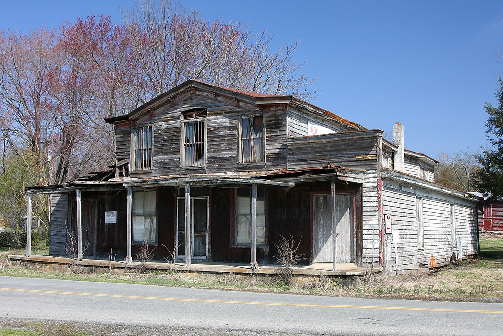
Downtown Beaverdam
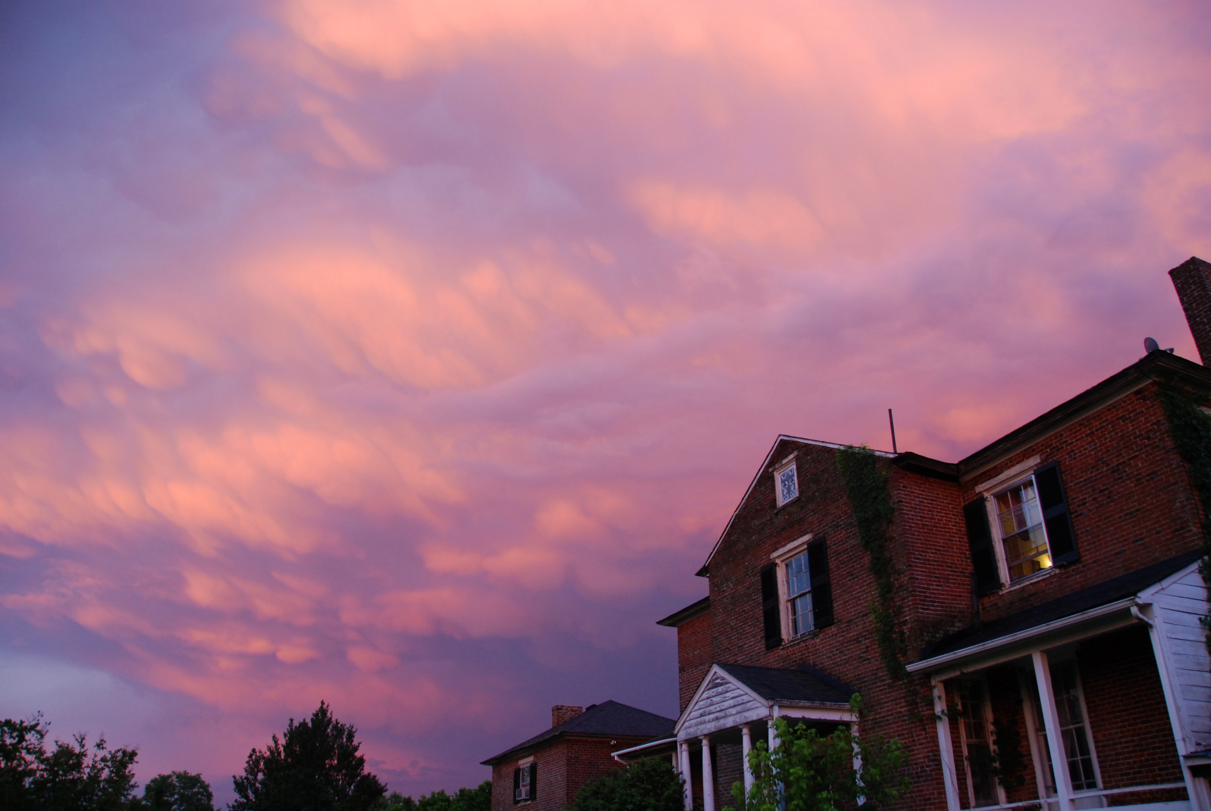
Dewberry Sunset 7
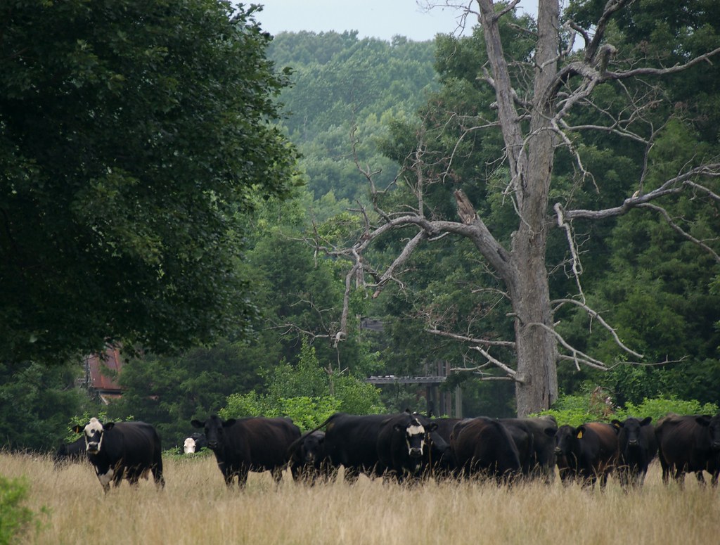
The Herd is Watching *You*
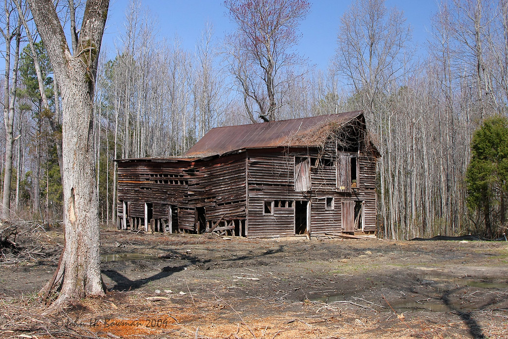
Faded view
Dewberry Sunset 8
Dewberry Sunset 2
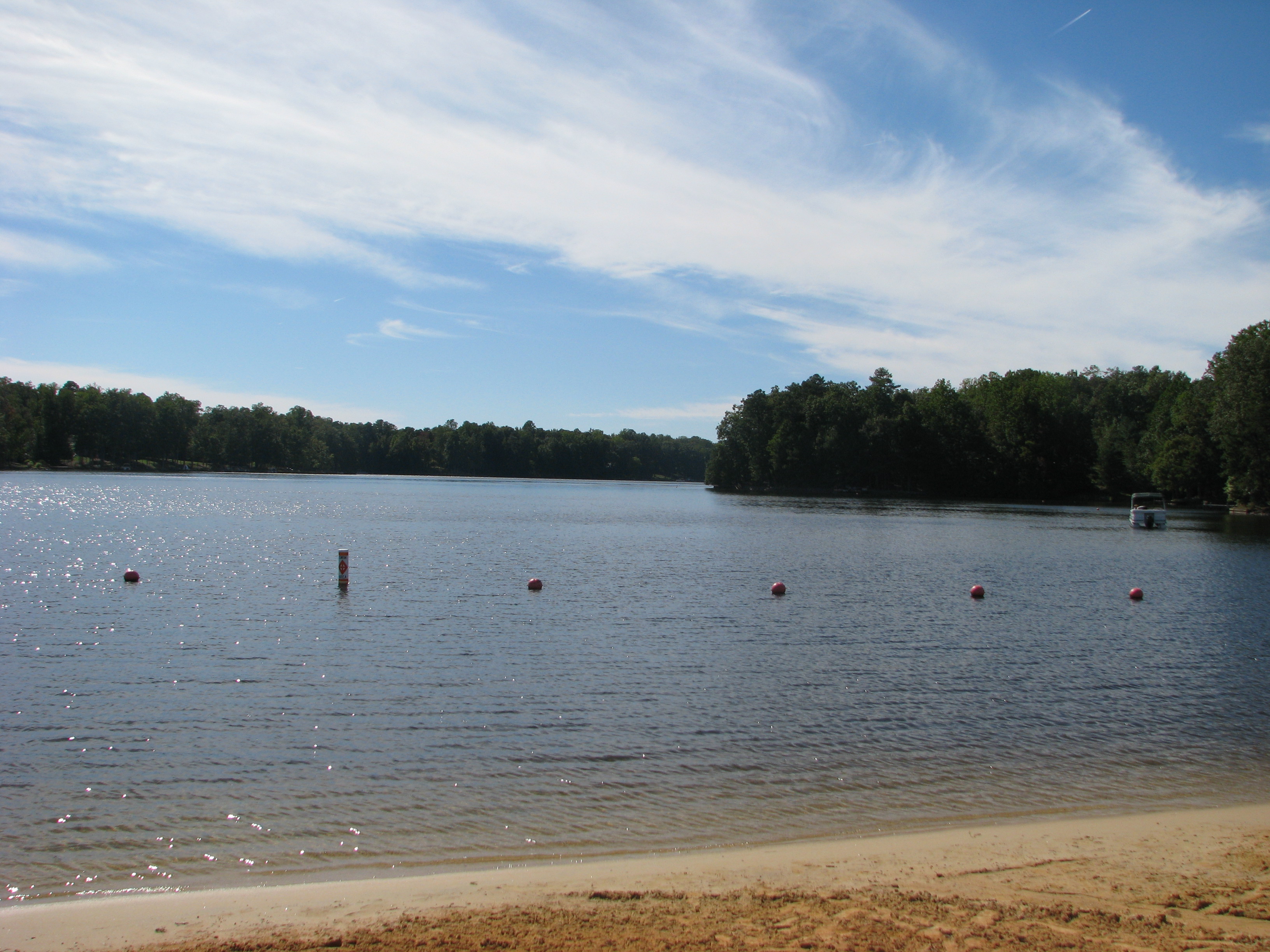
Lake Caroline, Ruther Glen, Virginia

Lake Land'Or, Caroline County
Spear Builders in Ladysmith Village
Lake Caroline Recreation Area
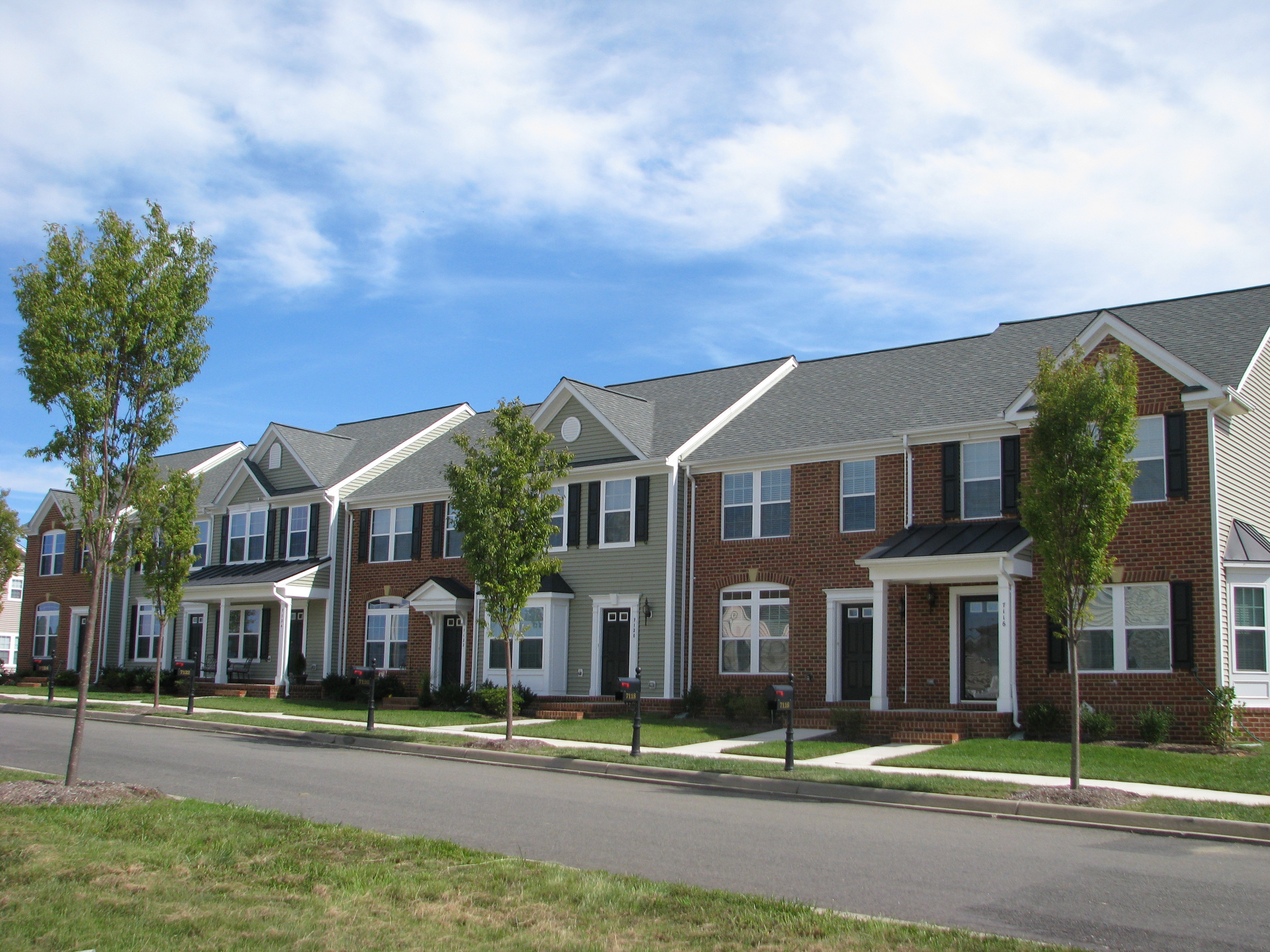
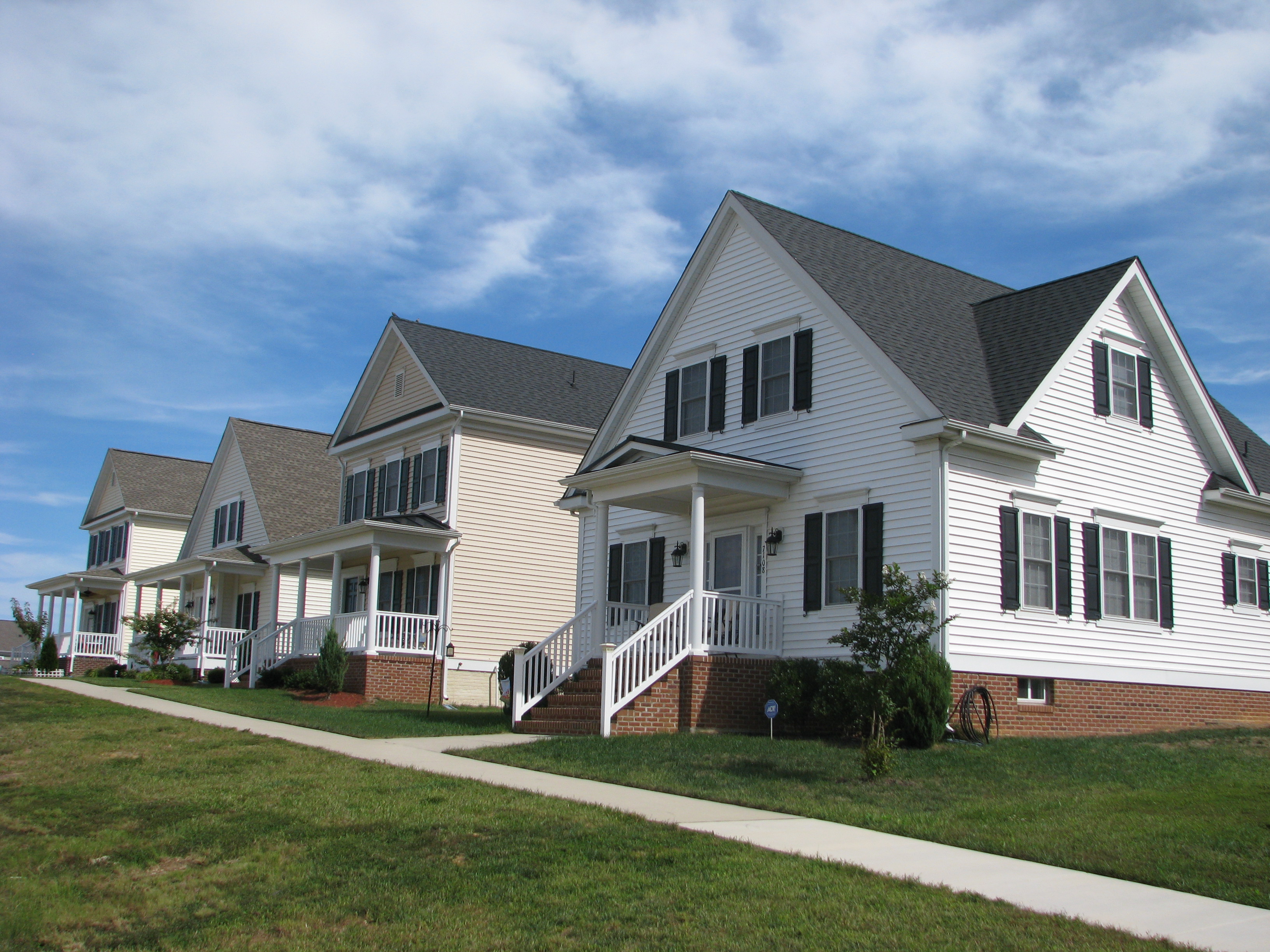
Townhouses in Ladysmith Village
Come visit

last autumn colors
Day 223 - I Just Met This Sexy Haitian Girl Moving Like A Dancer
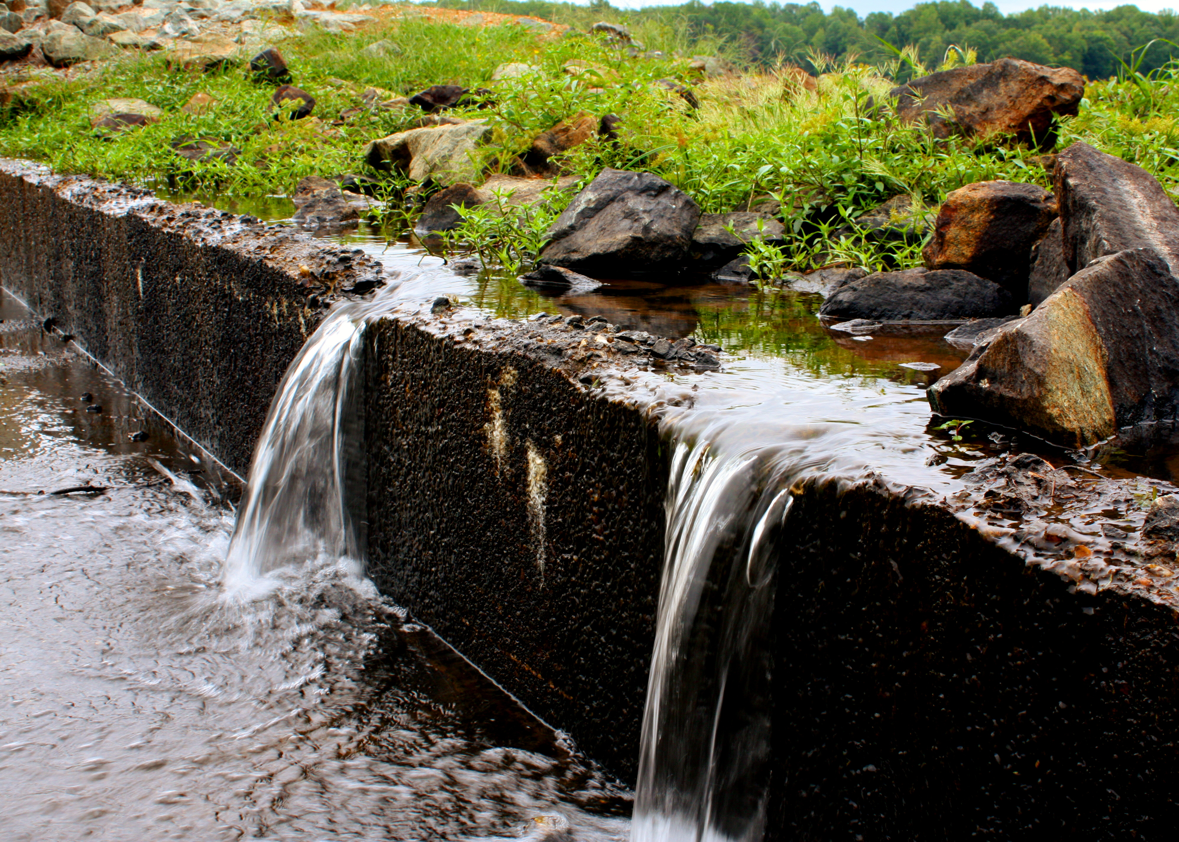
The Pond at Wallers Rd Farm
The Farm on Wallers Rd (007)
The Bridge
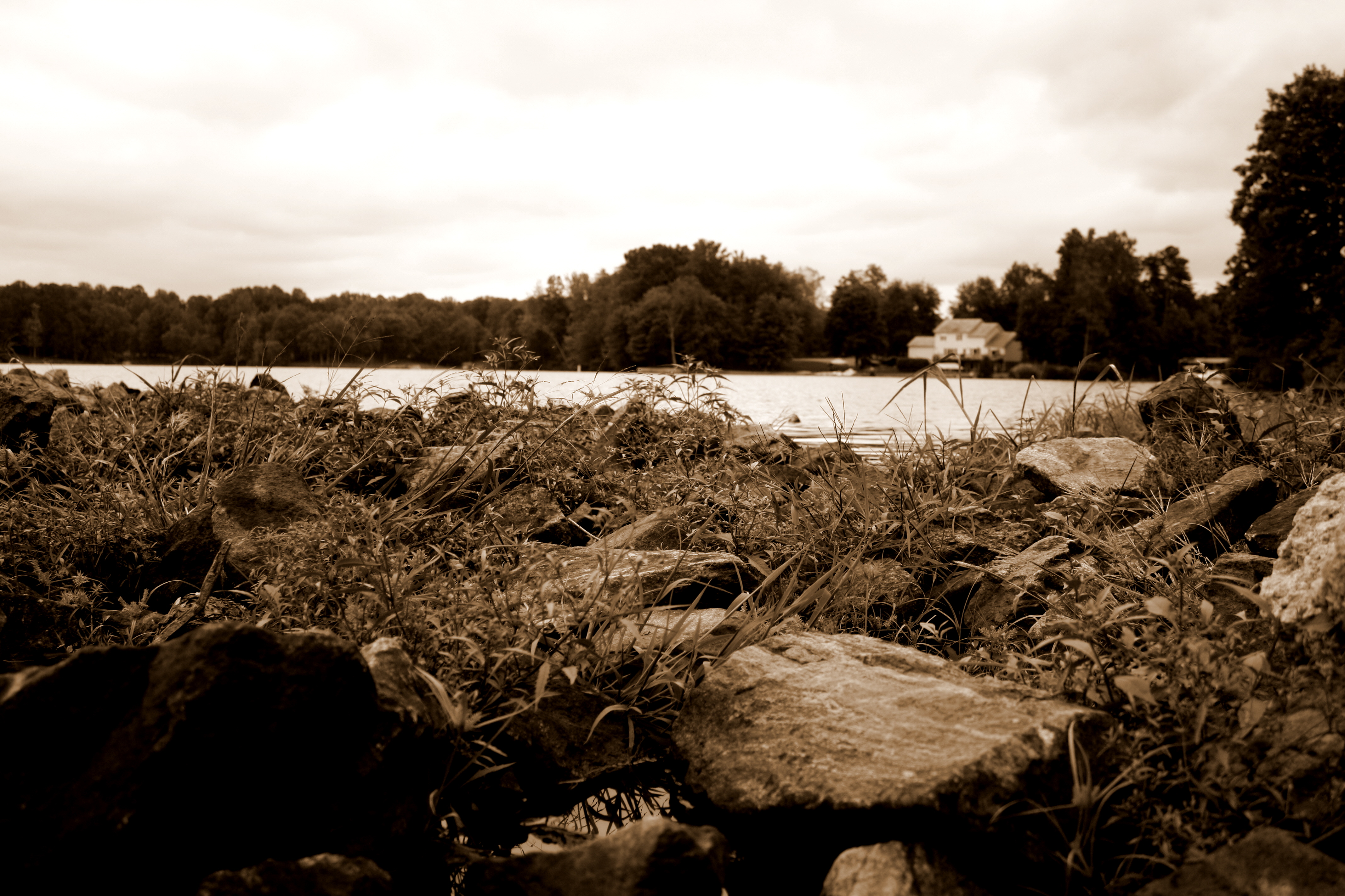
the Lake
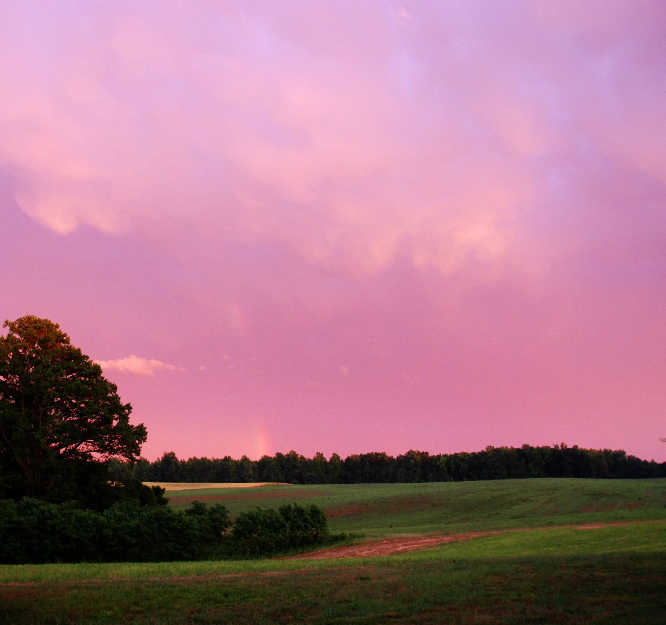
Dewberry Sunset 3
DSC_0049.JPG
fall rain

The Farm on Wallers Rd (042)

Pendleton Golf Club in Caroline County
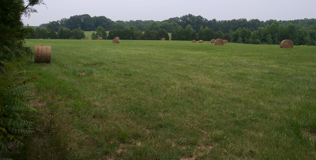
The Farm on Wallers Rd (041)
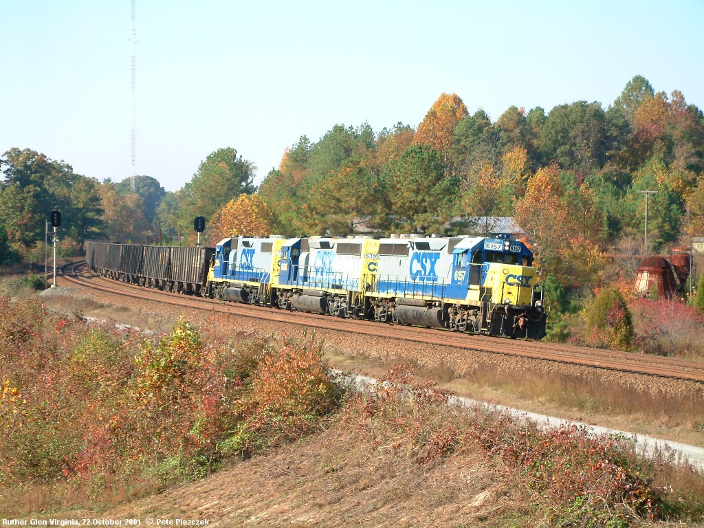
CSX 6157 Ruther Glen VA 22 Oct 01 a
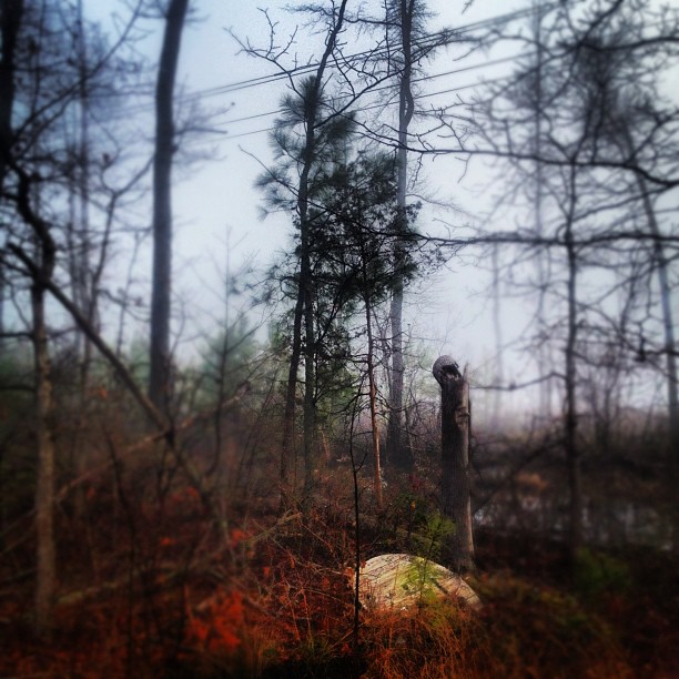
Foggy Morning in Hanover
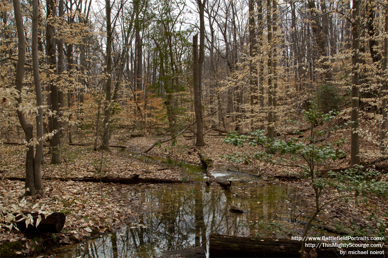
North Anna River Battlefield - Pic 06
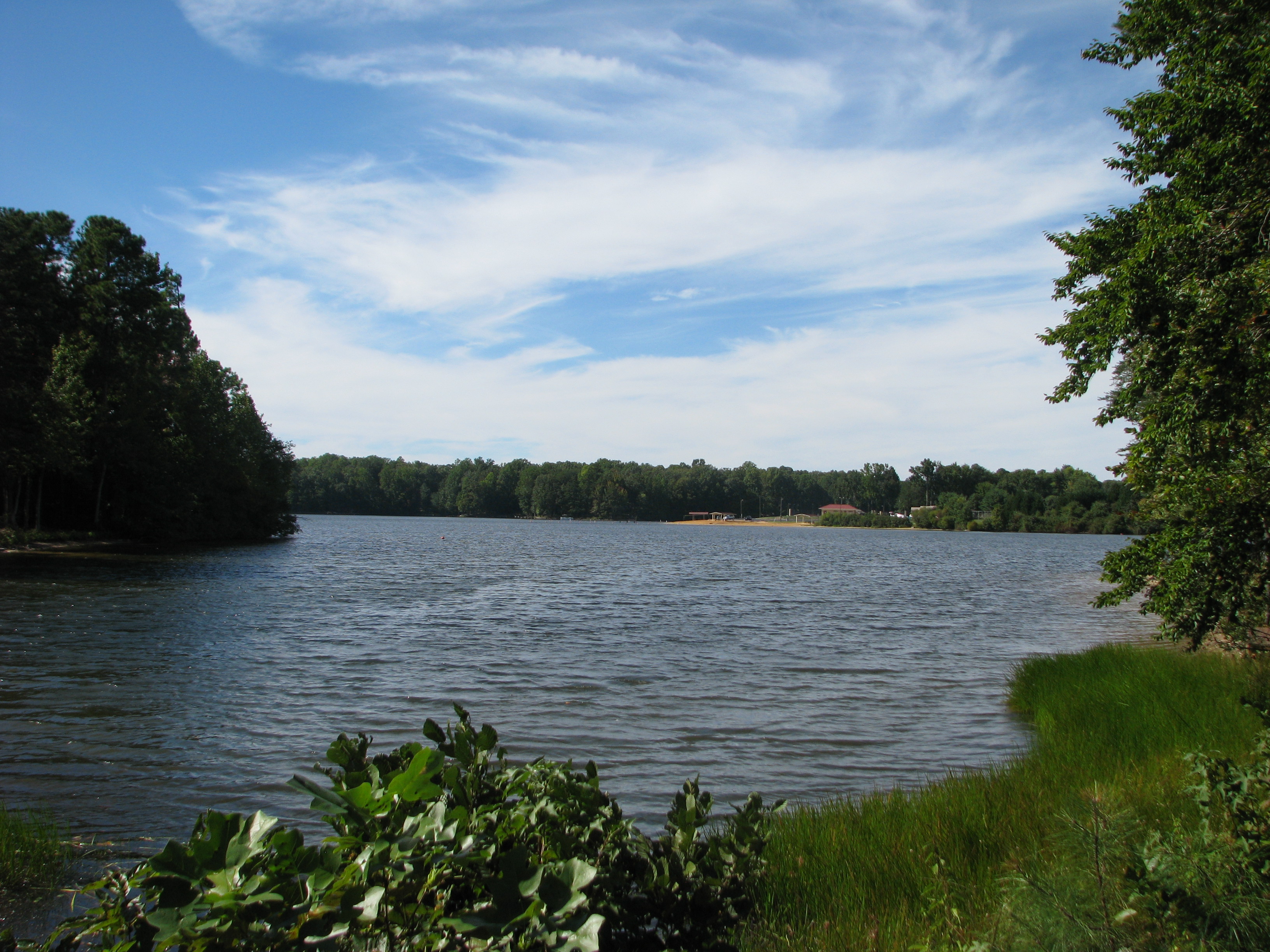
Lake Caroline in Ruther Glen
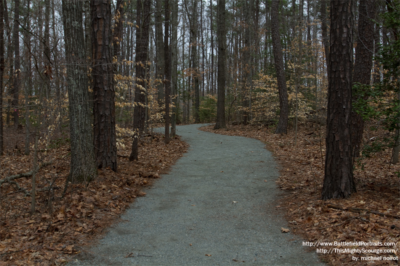
North Anna River Battlefield - Pic 05
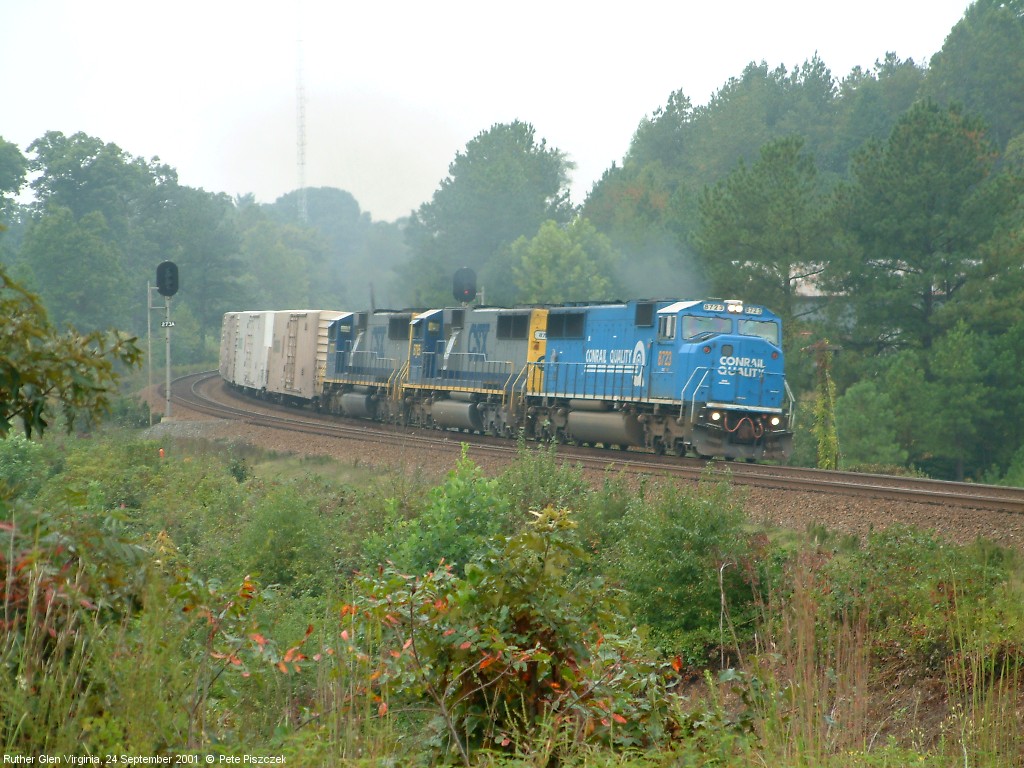
CSX 8723 Ruther Glen VA 24 Sept 01 a
Topographic Map of Jefferson Davis Hwy, Ruther Glen, VA, USA
Find elevation by address:

Places near Jefferson Davis Hwy, Ruther Glen, VA, USA:
18357 Democracy Ave
17253 Center Dr
Madison
Jefferson Davis Hwy, Ruther Glen, VA, USA
Cedon Rd, Woodford, VA, USA
747 Canterbury Dr
Balty Rd, Ruther Glen, VA, USA
Nancy Wrights Dr, Woodford, VA, USA
7238 Blanton Rd
Mattaponi
Marye Rd, Spotsylvania Courthouse, VA, USA
8445 Orrock Ln
8476 Stonewall Jackson Rd
Thornburg
12528 Woodford Rd
6709 Sunset Rd
Partlow
6437 Morris Rd
Milford
Woodford
Recent Searches:
- Elevation of Corso Fratelli Cairoli, 35, Macerata MC, Italy
- Elevation of Tallevast Rd, Sarasota, FL, USA
- Elevation of 4th St E, Sonoma, CA, USA
- Elevation of Black Hollow Rd, Pennsdale, PA, USA
- Elevation of Oakland Ave, Williamsport, PA, USA
- Elevation of Pedrógão Grande, Portugal
- Elevation of Klee Dr, Martinsburg, WV, USA
- Elevation of Via Roma, Pieranica CR, Italy
- Elevation of Tavkvetili Mountain, Georgia
- Elevation of Hartfords Bluff Cir, Mt Pleasant, SC, USA