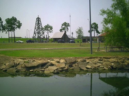
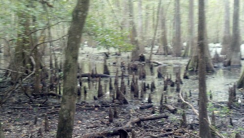
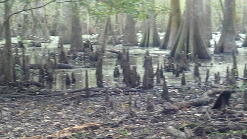
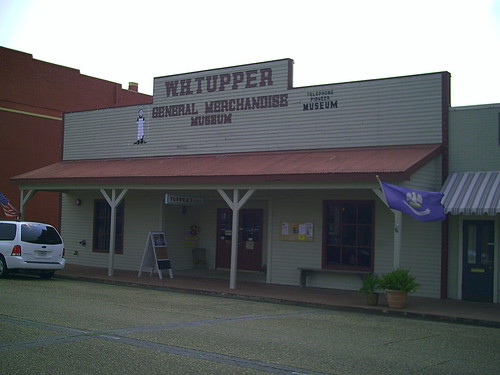
Elevation of Jeff Davis Academy Rd, Jennings, LA, USA
Location: United States > Louisiana > Jefferson Davis Parish > >
Longitude: -92.649461
Latitude: 30.2521396
Elevation: 7m / 23feet
Barometric Pressure: 101KPa
Related Photos:
Topographic Map of Jeff Davis Academy Rd, Jennings, LA, USA
Find elevation by address:

Places near Jeff Davis Academy Rd, Jennings, LA, USA:
2138 Jeff Davis Academy Rd
Jennings, LA, USA
714 Magnolia Dr
15387 La-26
1706 N Cutting Ave
707 Acadian Dr
707 Acadian Dr
1810 N Cary Ave
Royale Drive
715 Royale Dr
1607 N Main St
1402 N Sherman St
1403 N Sherman St
5, LA, USA
1421 Airport Rd
Peloquin Road
17467 Peloquin Rd
17477 Peloquin Rd
3060 Grand Marais Rd
3105 Grand Marais Rd
Recent Searches:
- Elevation of Corso Fratelli Cairoli, 35, Macerata MC, Italy
- Elevation of Tallevast Rd, Sarasota, FL, USA
- Elevation of 4th St E, Sonoma, CA, USA
- Elevation of Black Hollow Rd, Pennsdale, PA, USA
- Elevation of Oakland Ave, Williamsport, PA, USA
- Elevation of Pedrógão Grande, Portugal
- Elevation of Klee Dr, Martinsburg, WV, USA
- Elevation of Via Roma, Pieranica CR, Italy
- Elevation of Tavkvetili Mountain, Georgia
- Elevation of Hartfords Bluff Cir, Mt Pleasant, SC, USA


