Elevation of Jebel Aulia, Sudan
Location: Sudan > Khartoum >
Longitude: 32.5259596
Latitude: 15.2286363
Elevation: 390m / 1280feet
Barometric Pressure: 97KPa
Elevation Map:
Satellite Map:
Related Photos:

أناجيك...

Gebel Awlia / جبل اولياء (Sudan) - Banks of Nile River

Khartoum / الخرطوم (Sudan) - Village on the way to Gebel Awlia
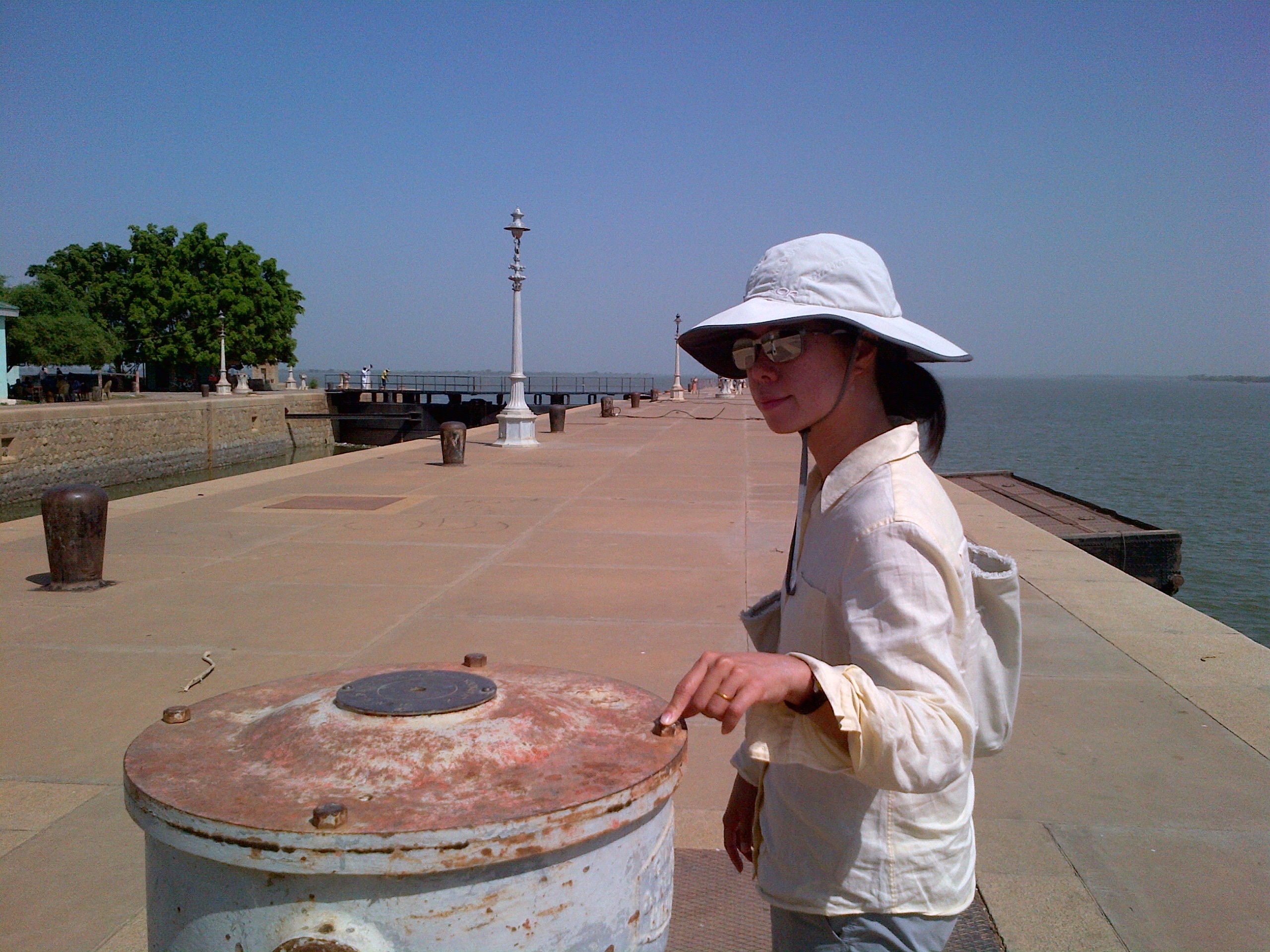
Sandra at the main lock of the Jebel Aulia Dam
Topographic Map of Jebel Aulia, Sudan
Find elevation by address:

Places near Jebel Aulia, Sudan:
Recent Searches:
- Elevation of Corso Fratelli Cairoli, 35, Macerata MC, Italy
- Elevation of Tallevast Rd, Sarasota, FL, USA
- Elevation of 4th St E, Sonoma, CA, USA
- Elevation of Black Hollow Rd, Pennsdale, PA, USA
- Elevation of Oakland Ave, Williamsport, PA, USA
- Elevation of Pedrógão Grande, Portugal
- Elevation of Klee Dr, Martinsburg, WV, USA
- Elevation of Via Roma, Pieranica CR, Italy
- Elevation of Tavkvetili Mountain, Georgia
- Elevation of Hartfords Bluff Cir, Mt Pleasant, SC, USA