Elevation of Jeanerette, LA, USA
Location: United States > Louisiana > Iberia Parish >
Longitude: -91.663448
Latitude: 29.9110378
Elevation: 5m / 16feet
Barometric Pressure: 101KPa
Elevation Map:
Satellite Map:
Related Photos:
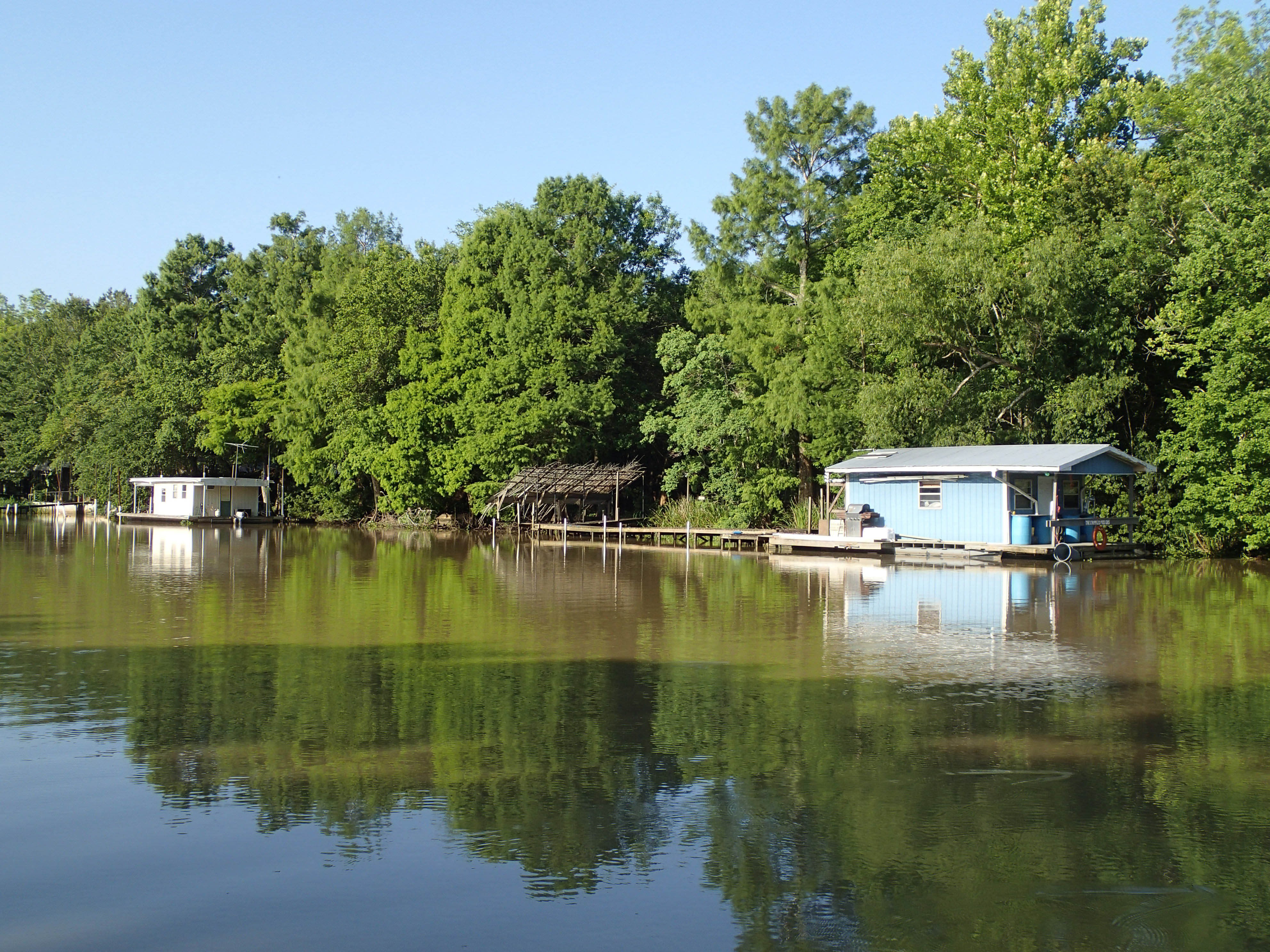
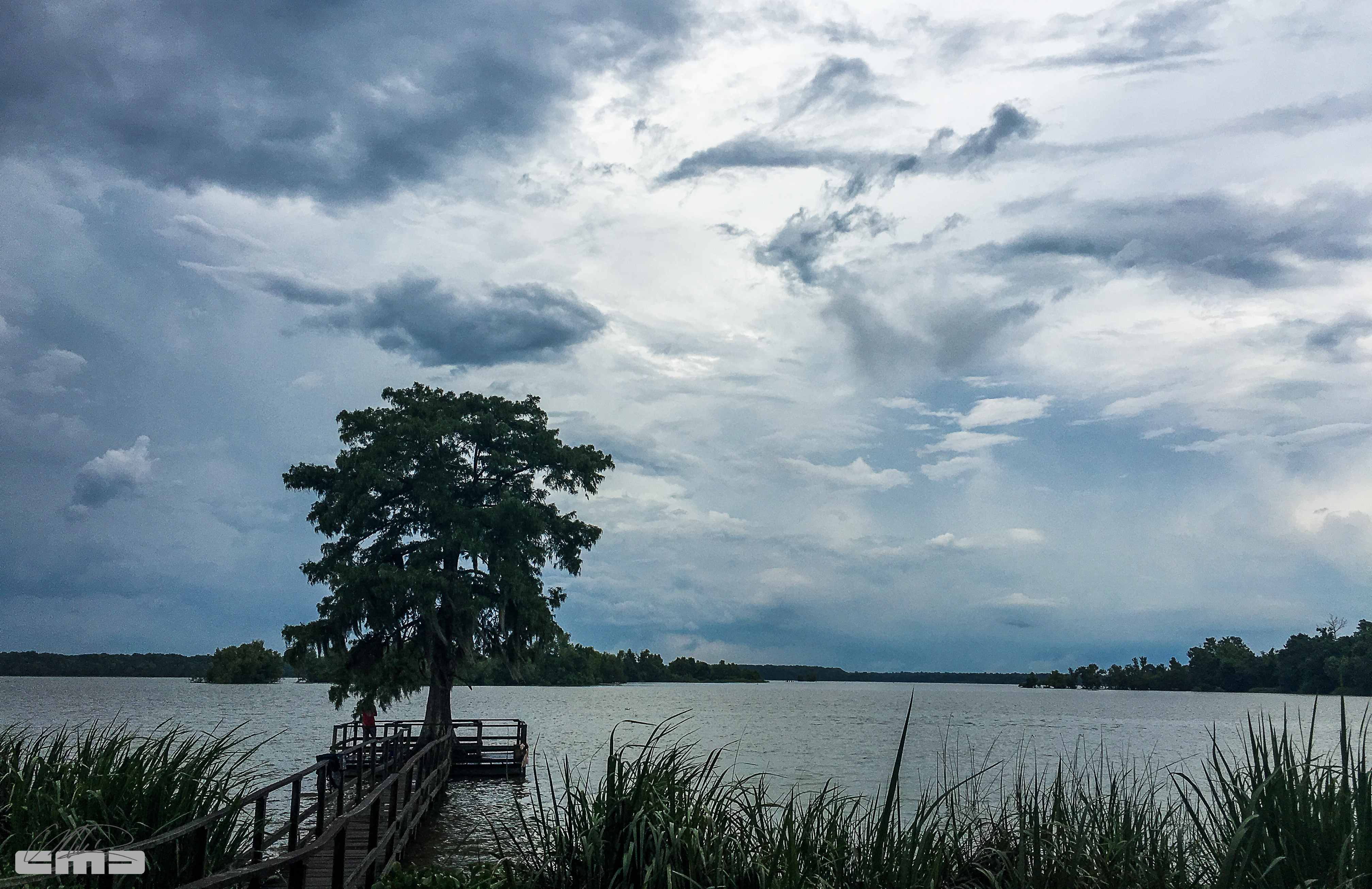
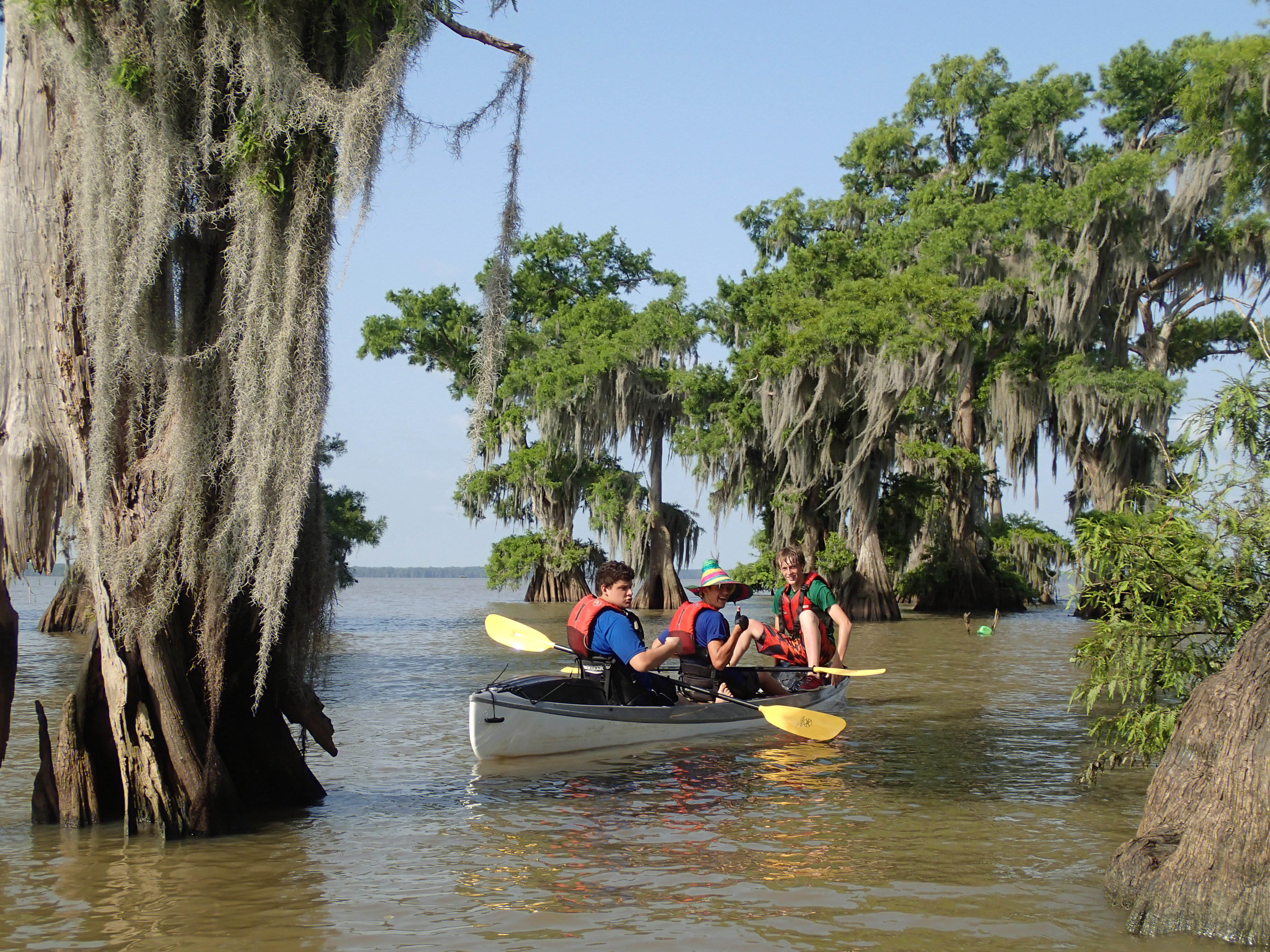
Early morning view

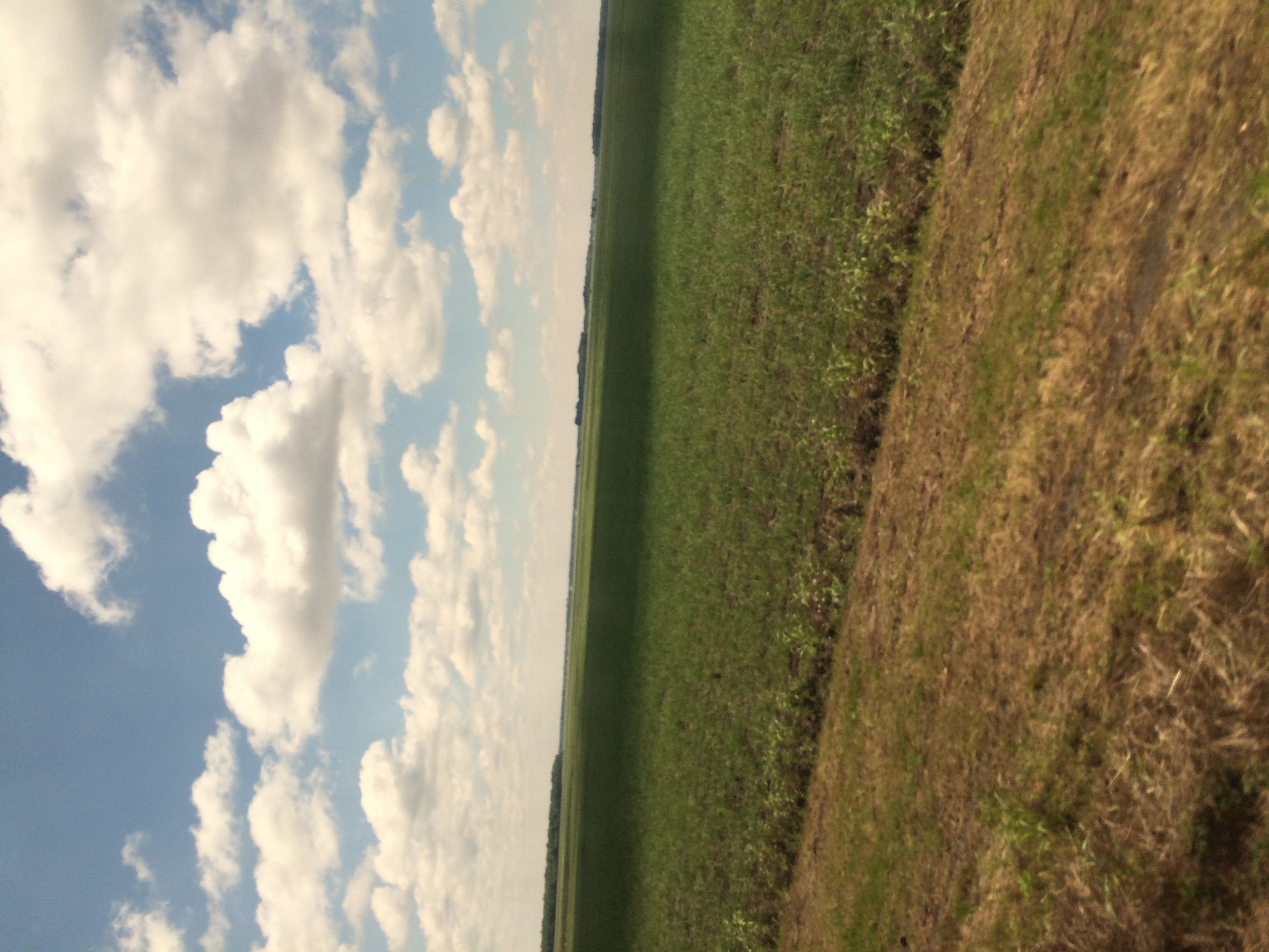
Ha...blue skies.

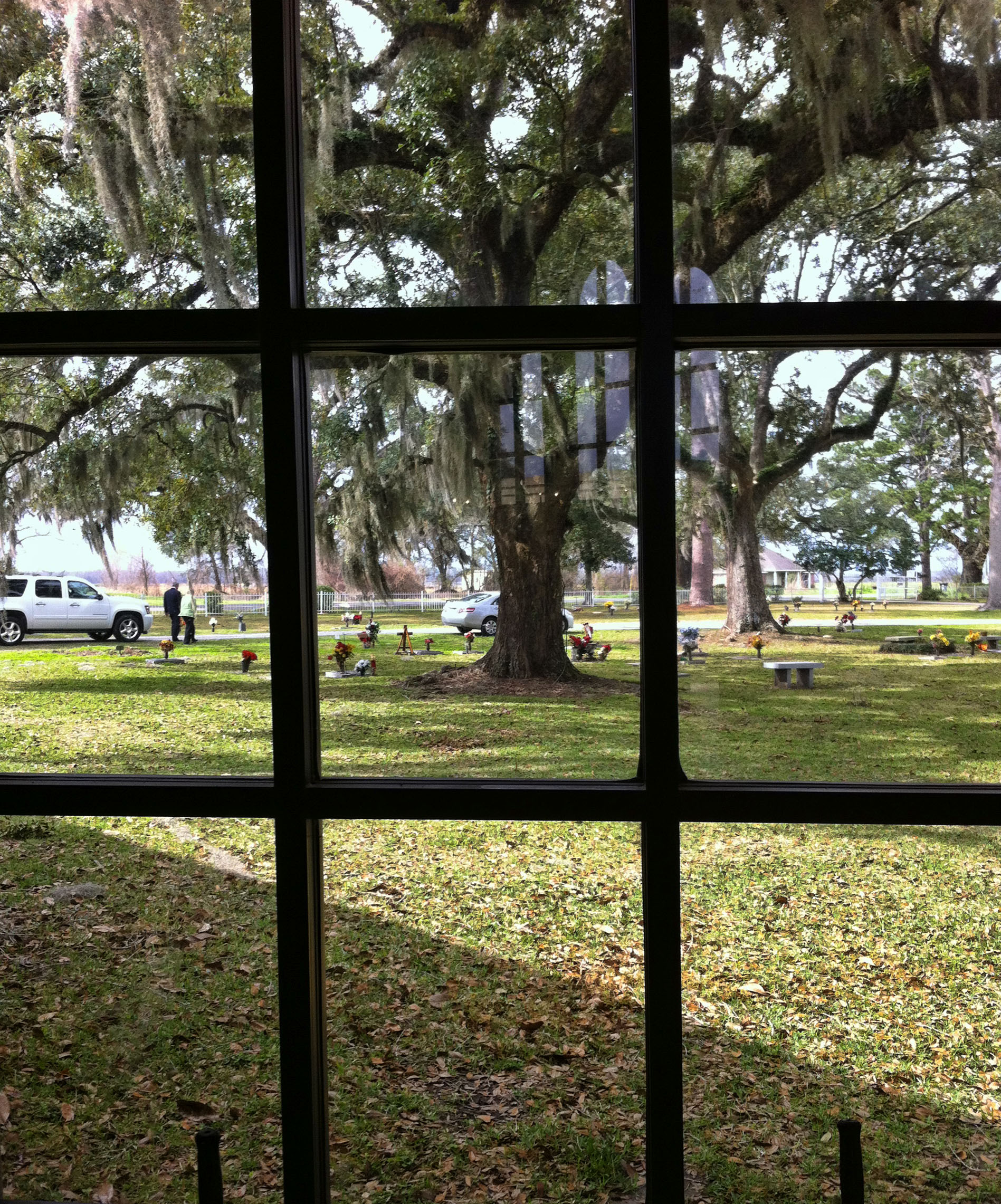
Bayou Teche at Jeanerette Museum 02
Bayou Teche at Jeanerette Museum 01
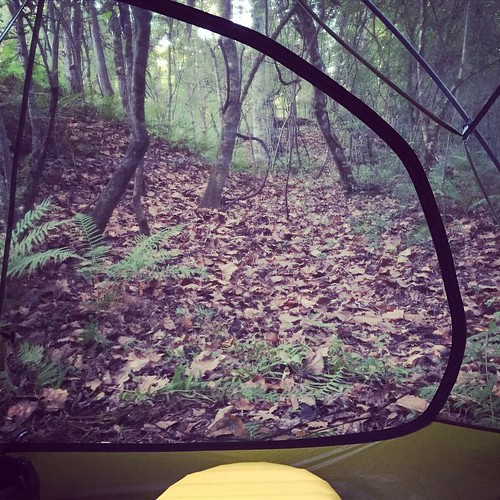
35/365 - Through the Window
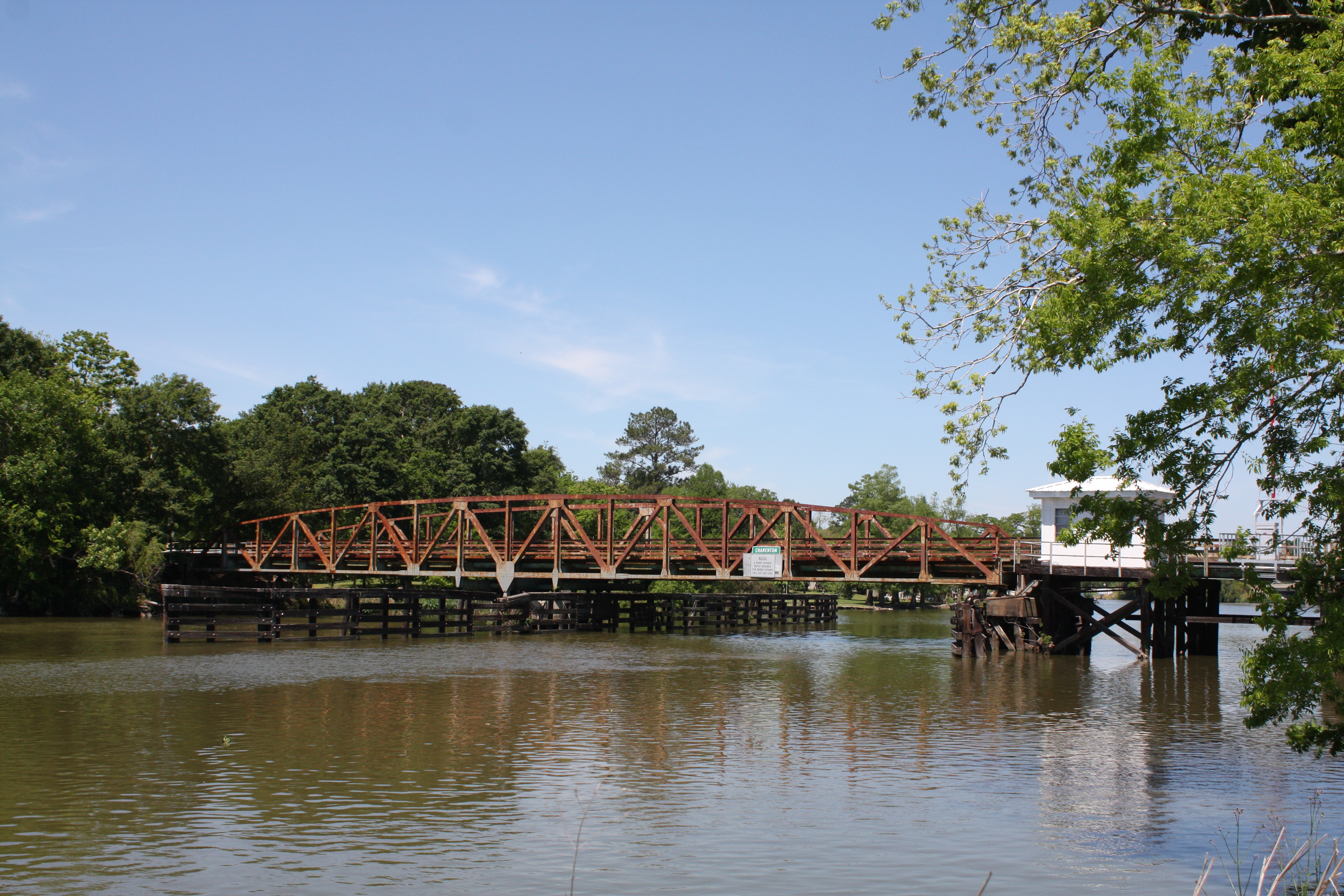
LA 324 Bayou Teche Swing Bridge
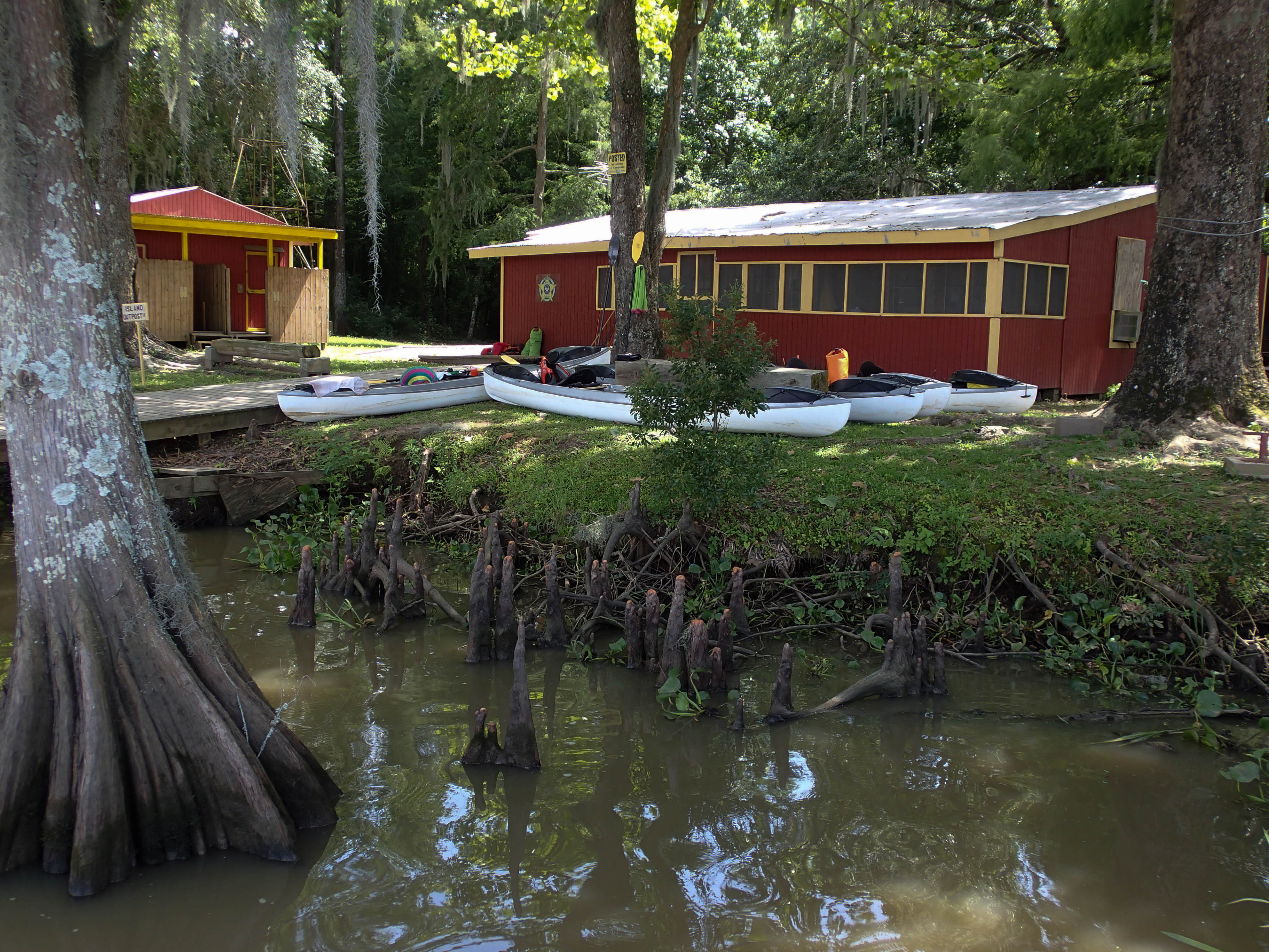
20130612SwampBase-154.jpg

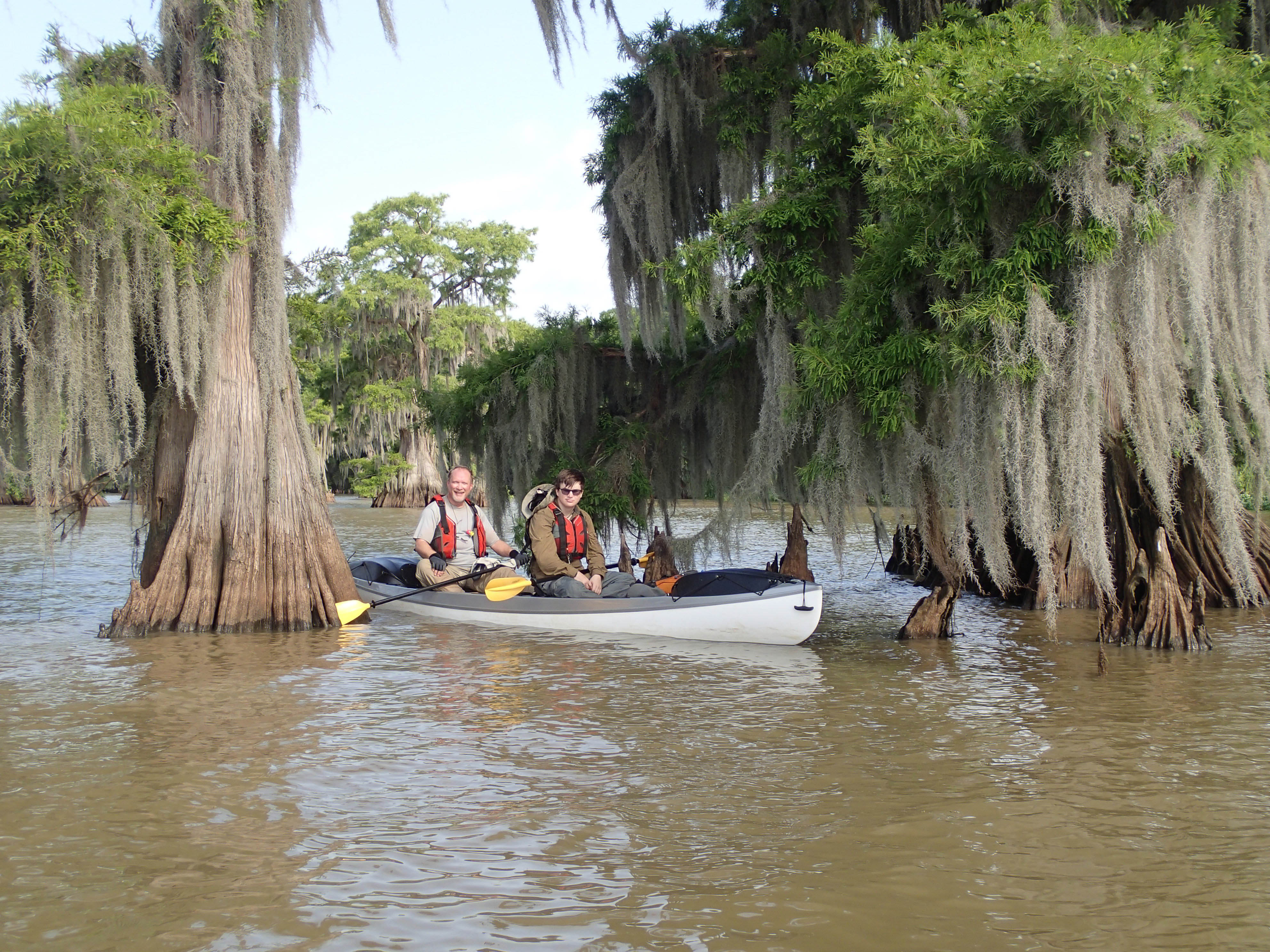
20130612SwampBase-183.jpg
Air Boat Ride
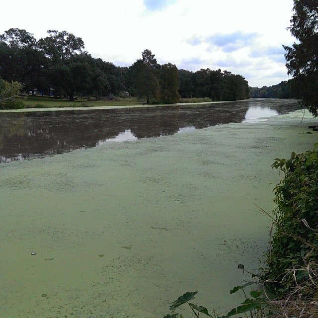
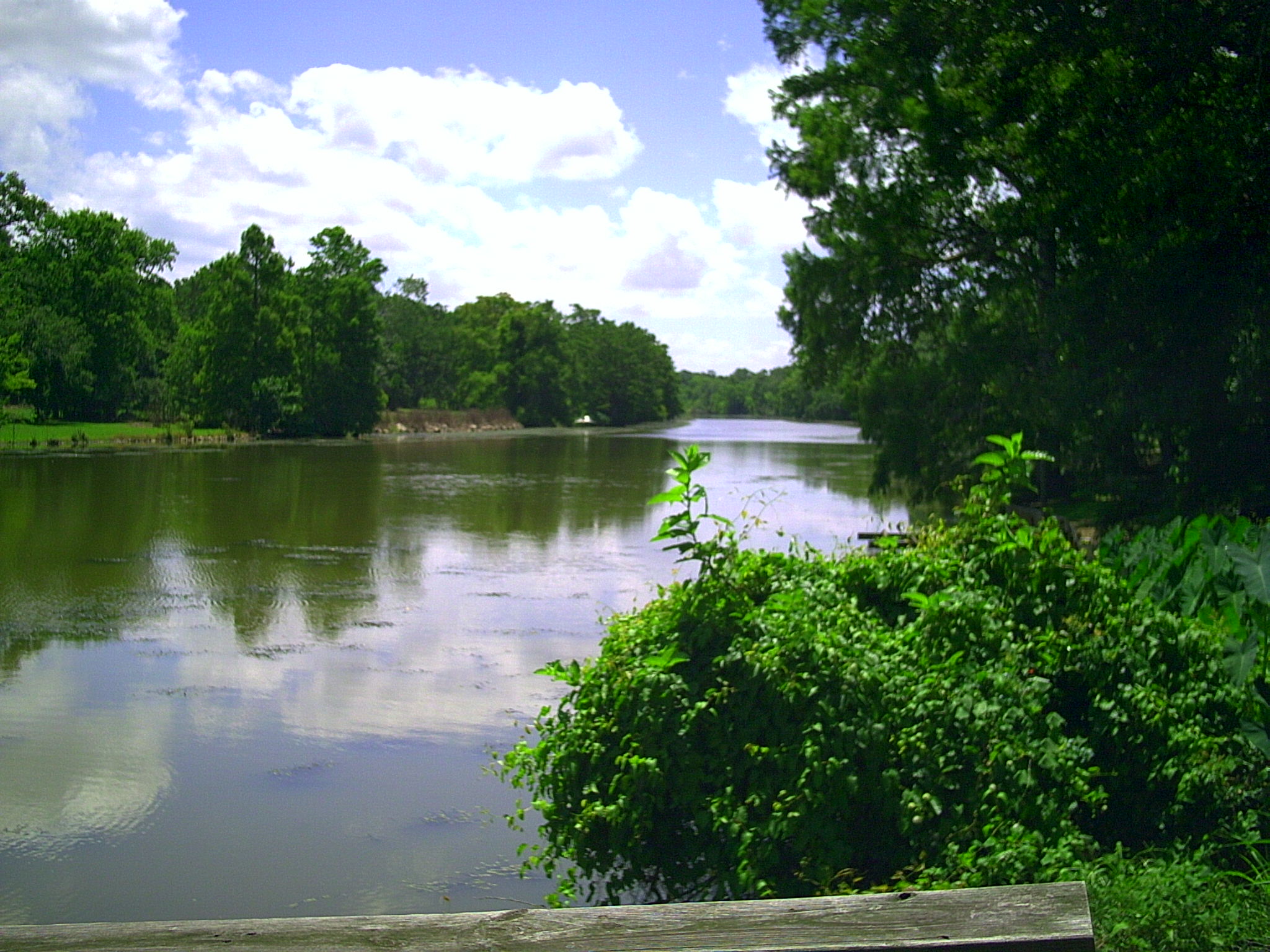
Bayou is pretty wide here.
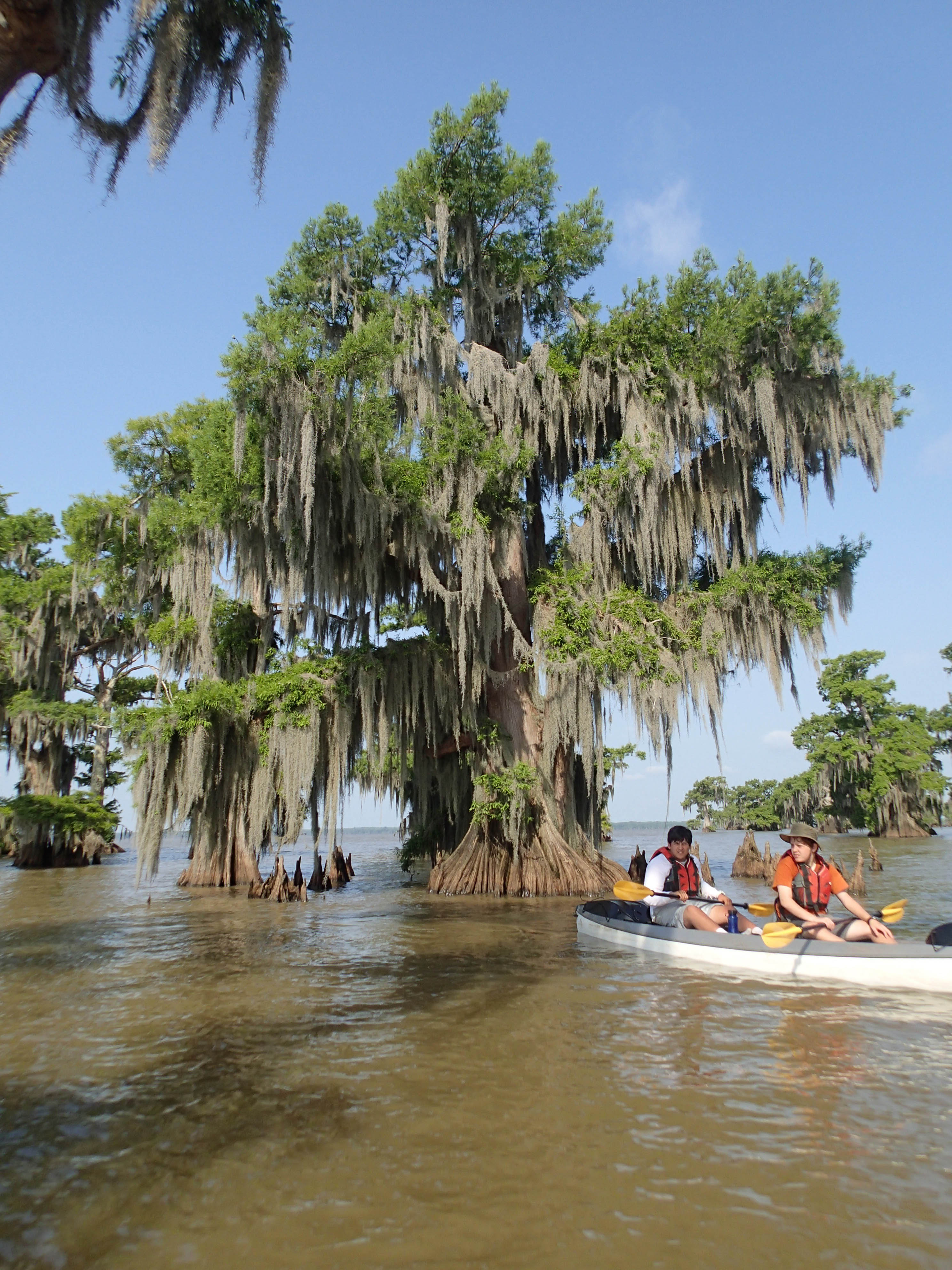
20130614SwampBase-302.jpg

358012864779023506_601784420150326-5226-l9g10u

454360818686653699_601784420150326-5226-1jsbhqo
SeaBase2016-7022
On Amtrak train 1 the Sunset Limited
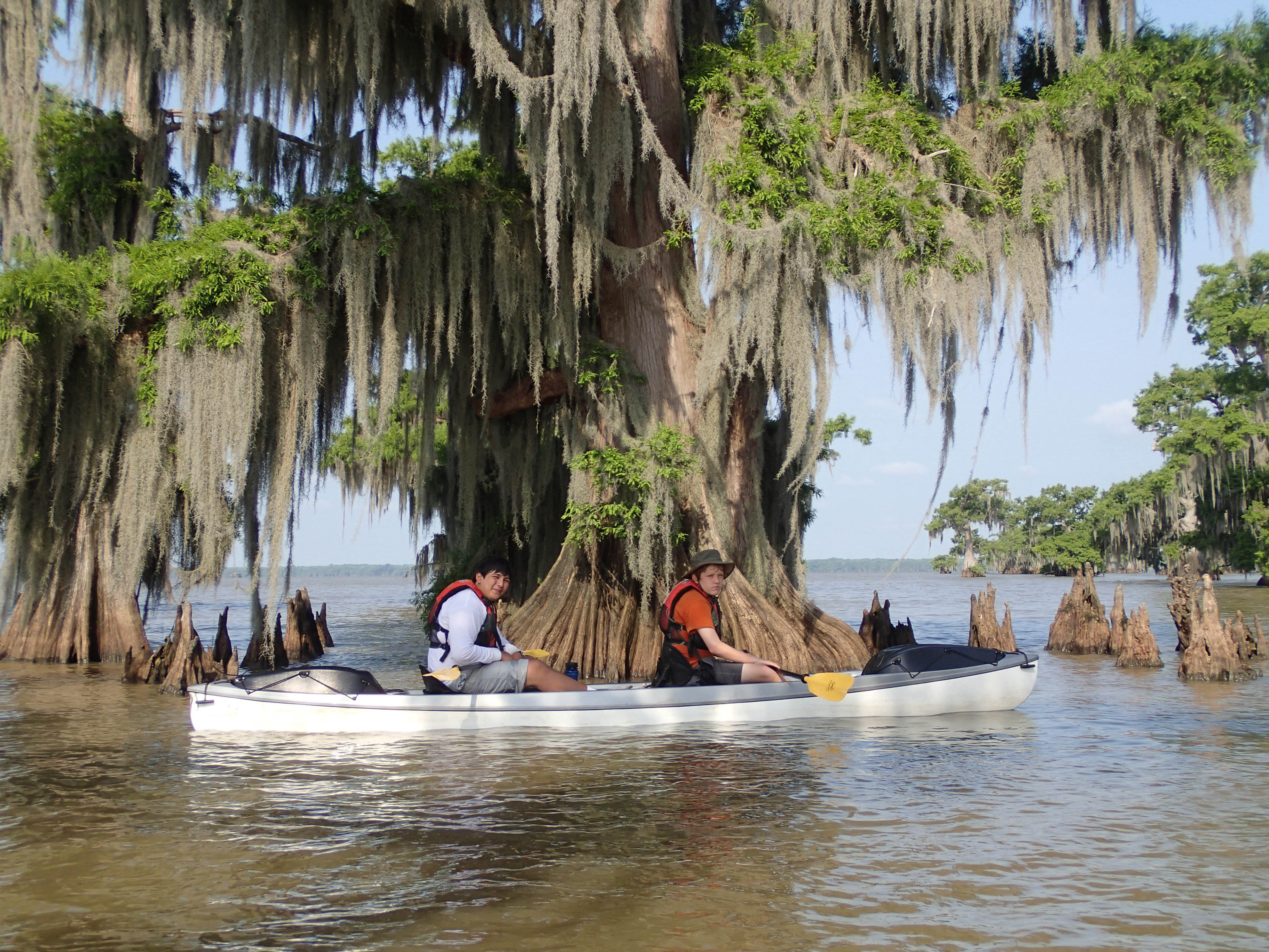
20130614SwampBase-297.jpg
20130614SwampBase-296.jpg
20130614SwampBase-298.jpg
Topographic Map of Jeanerette, LA, USA
Find elevation by address:

Places in Jeanerette, LA, USA:
Places near Jeanerette, LA, USA:
Tarleton Street
717 Wattigny St
Bracy Street
1433 Copp St
2017 Church St
2722 Junca St
9805 Old Jeanerette Rd
9315 E Old Spanish Trail
E Old Spanish Trail, Jeanerette, LA, USA
9517 E Admiral Doyle Dr
8814 Old Jeanerette Rd
9502 E Admiral Doyle Dr
20394 La-182
196 Inez Dr
Back Rd, Jeanerette, LA, USA
Iberia Parish
7509 E Old Spanish Trail
7410 E Admiral Doyle Dr
E Old Spanish Trail, Jeanerette, LA, USA
6814 E Admiral Doyle Dr
Recent Searches:
- Elevation of Corso Fratelli Cairoli, 35, Macerata MC, Italy
- Elevation of Tallevast Rd, Sarasota, FL, USA
- Elevation of 4th St E, Sonoma, CA, USA
- Elevation of Black Hollow Rd, Pennsdale, PA, USA
- Elevation of Oakland Ave, Williamsport, PA, USA
- Elevation of Pedrógão Grande, Portugal
- Elevation of Klee Dr, Martinsburg, WV, USA
- Elevation of Via Roma, Pieranica CR, Italy
- Elevation of Tavkvetili Mountain, Georgia
- Elevation of Hartfords Bluff Cir, Mt Pleasant, SC, USA