Elevation of Jaubari, Nepal
Location: Nepal > Western Region > Gandaki >
Longitude: 84.6217487
Latitude: 28.1182152
Elevation: 1234m / 4049feet
Barometric Pressure: 87KPa
Elevation Map:
Satellite Map:
Related Photos:
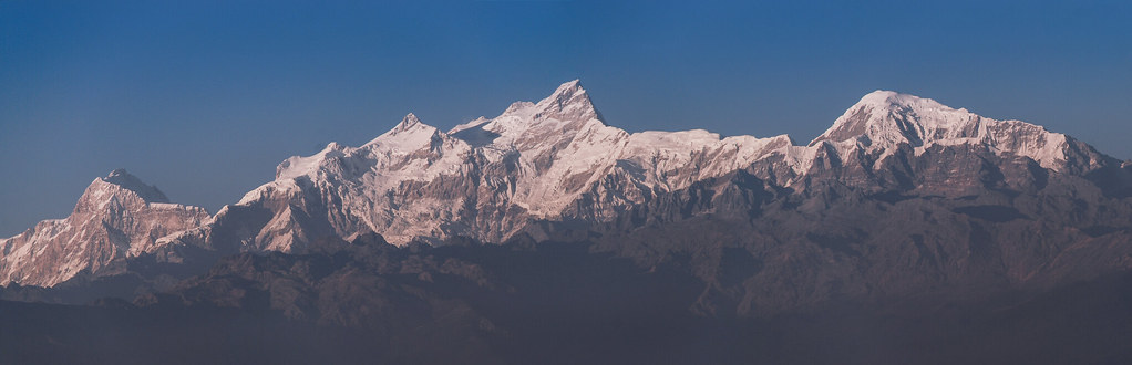
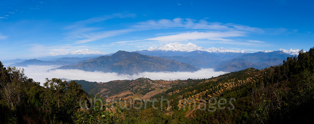
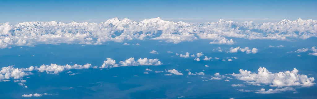
Manaslu & Himalchuli Peaks (From Gorkha Durbaar)

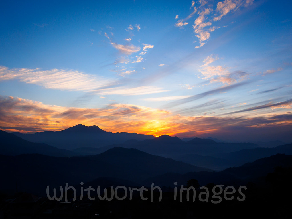
THE ROLLING SUN
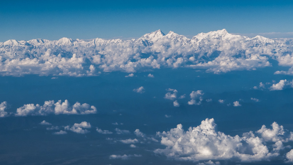
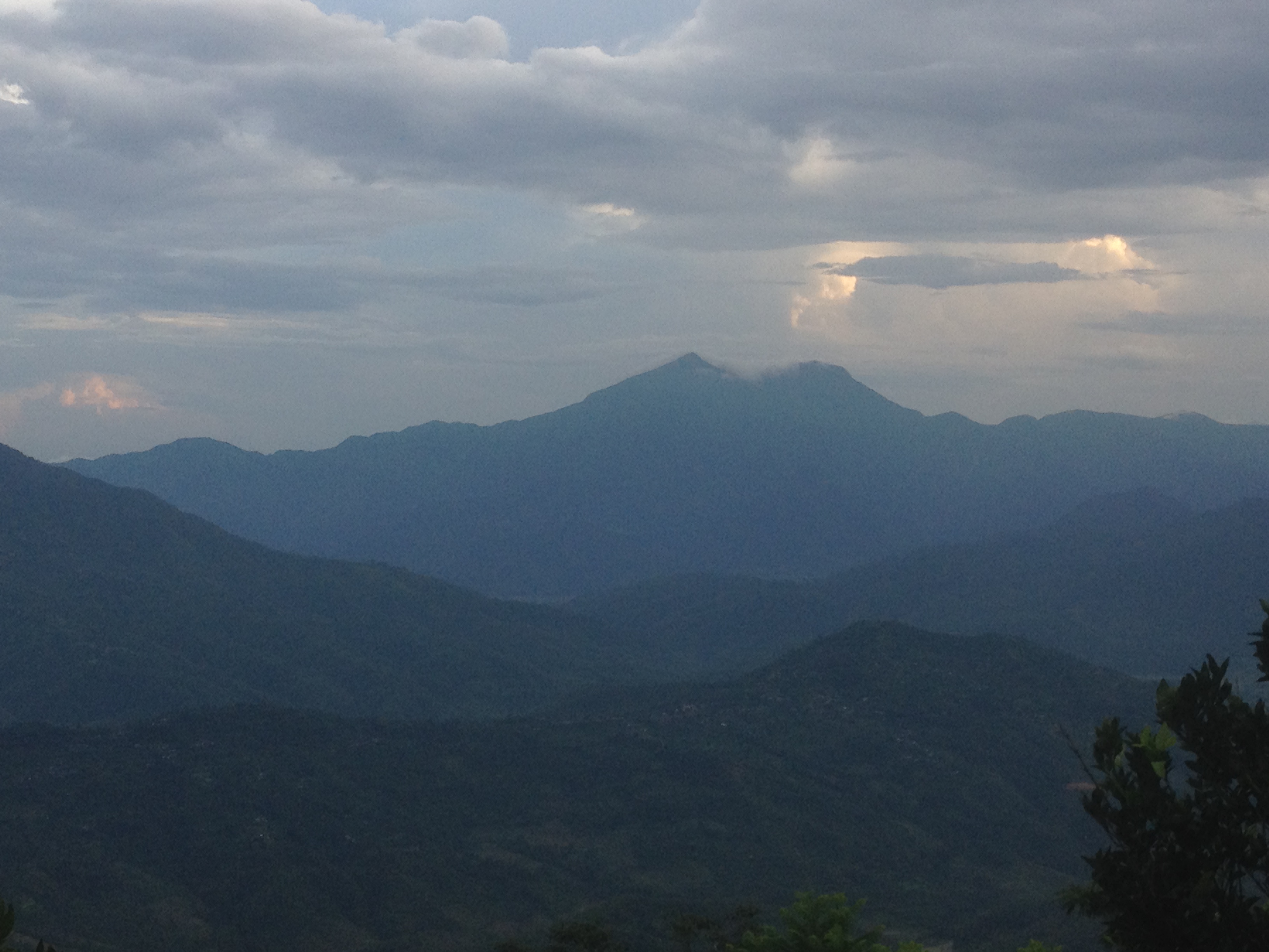
The Mountains
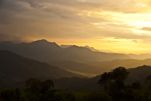
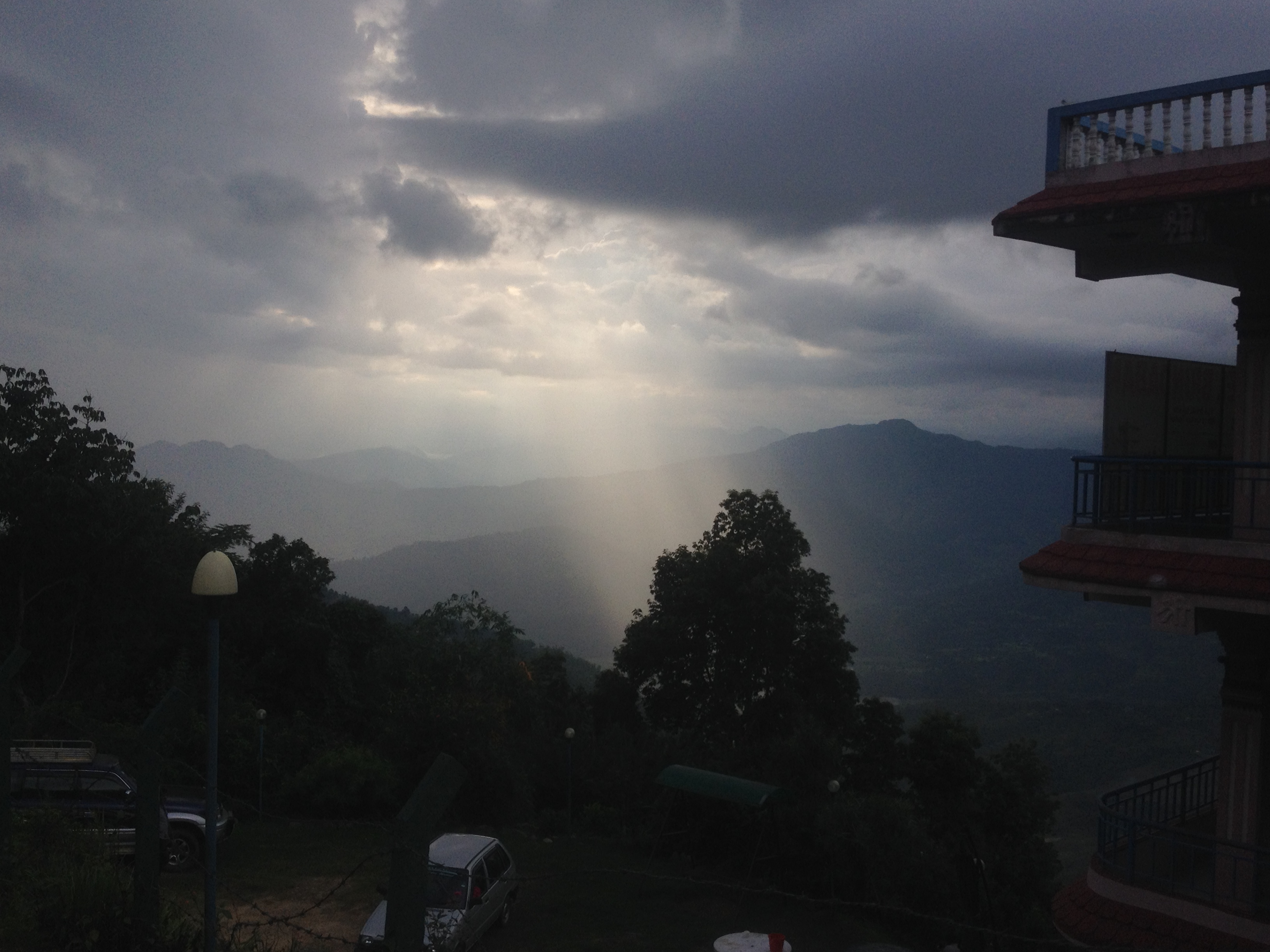
Gorkha sunset view

Nareshwor and Manasalu
Gorkha view
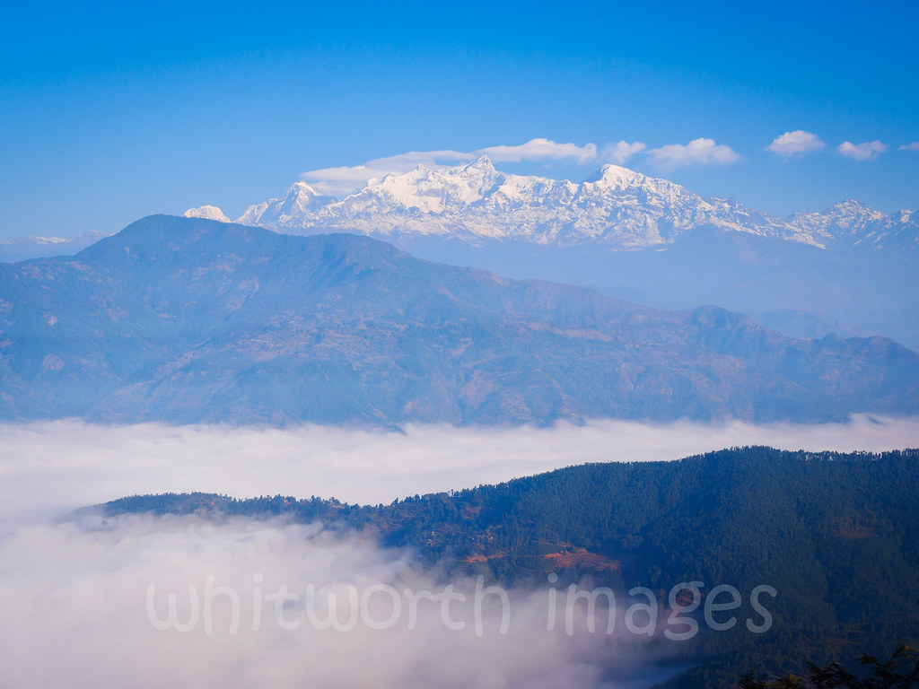
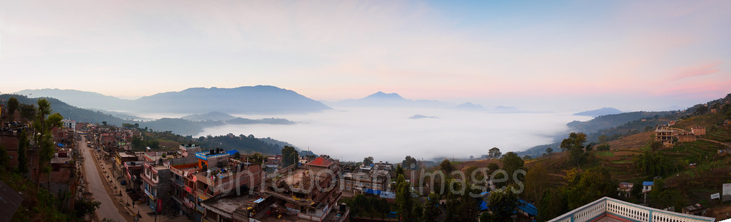
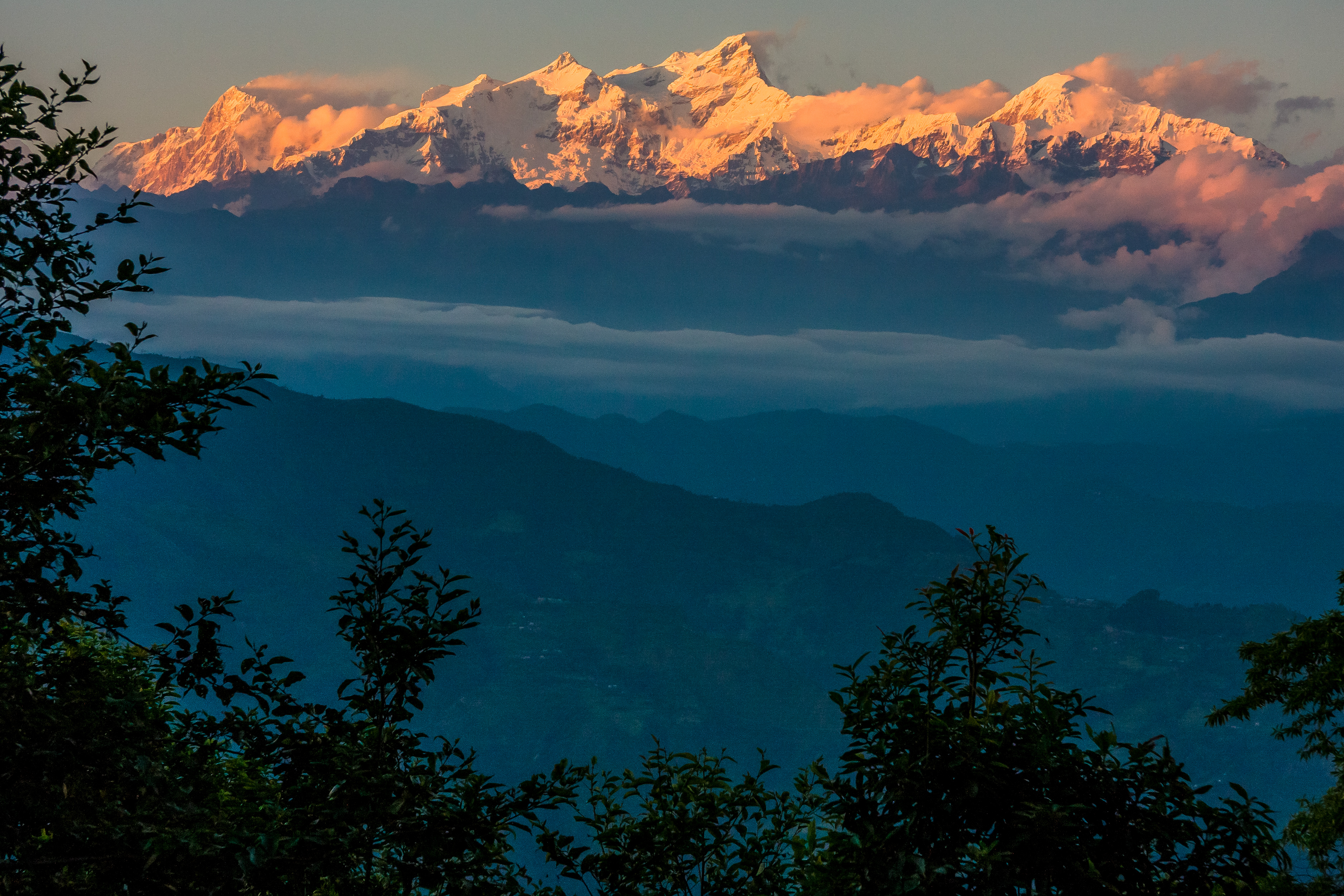
Manasalu above the fog
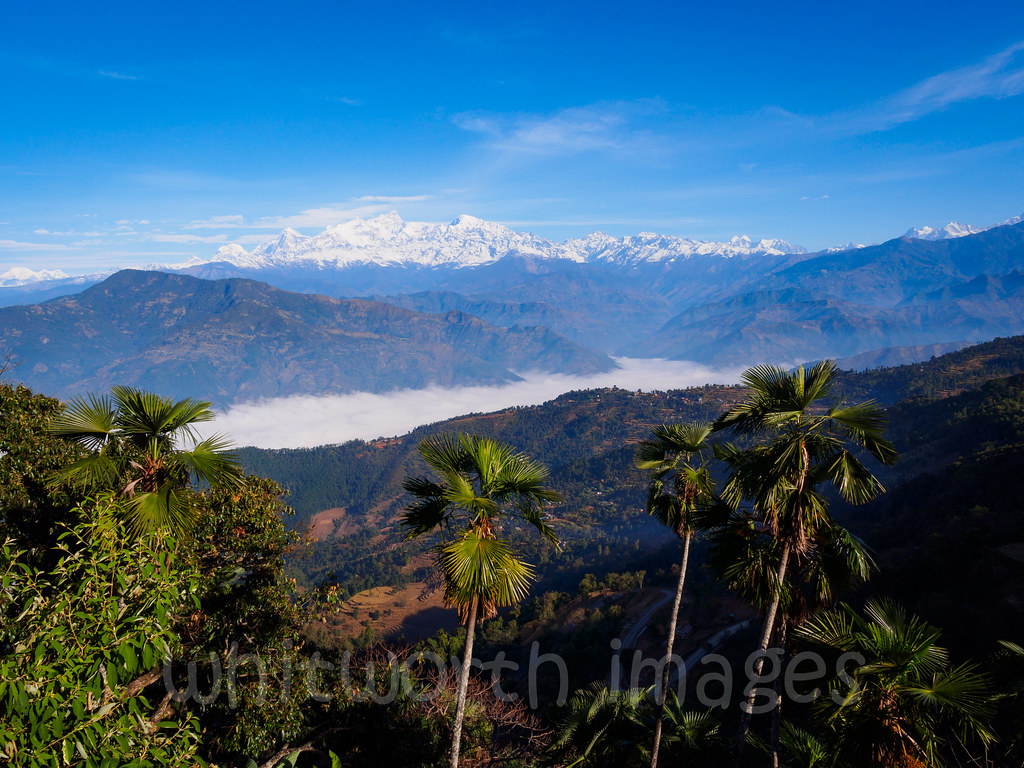
View to Manasalu from Gorkha

Those Tiny Twinkling Lights

The Village of Gorkha, Nepal
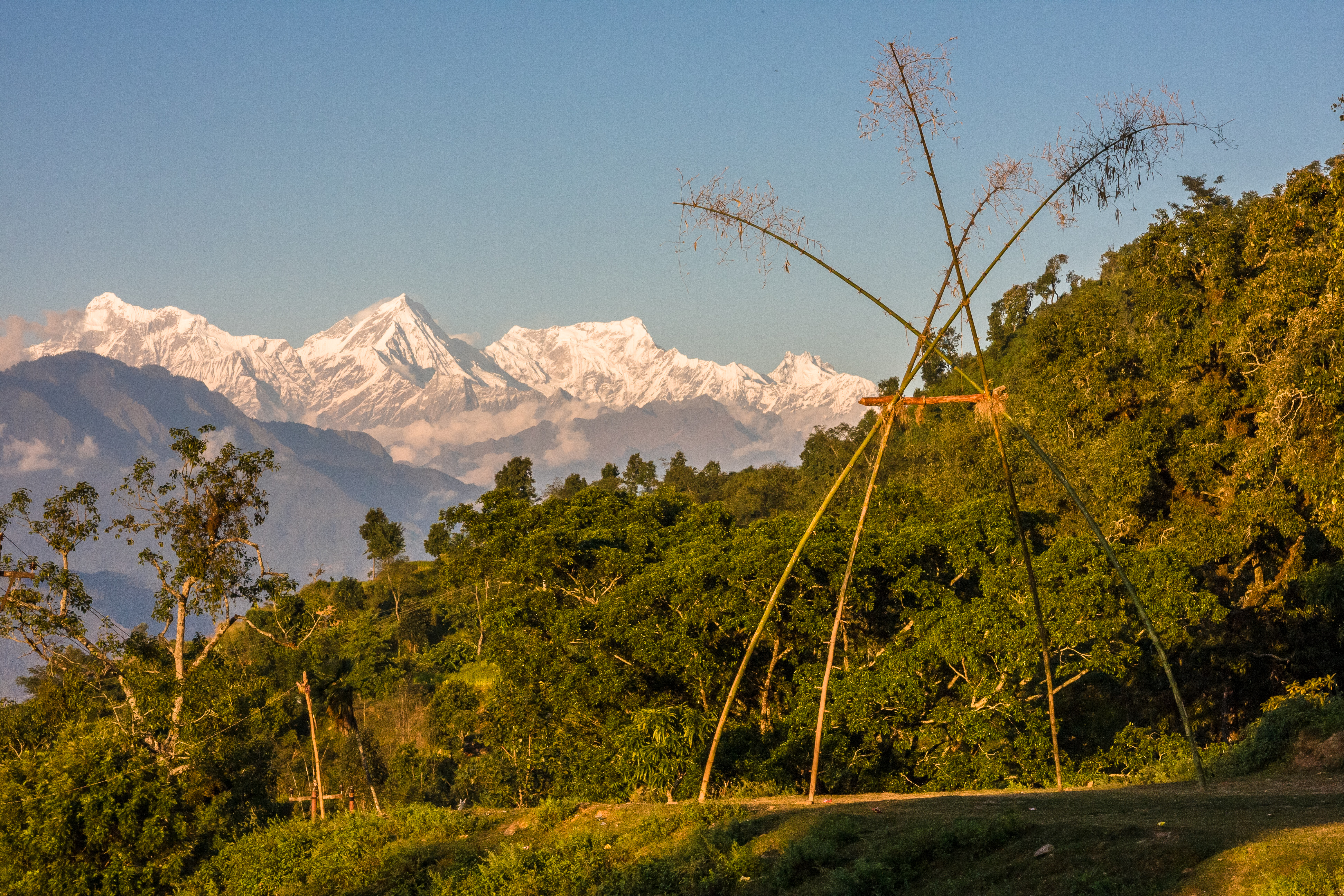
View to Manasalu Himal
Manaslu View on the Way to Kathmandu II
Manaslu View on the Way to Kathmandu
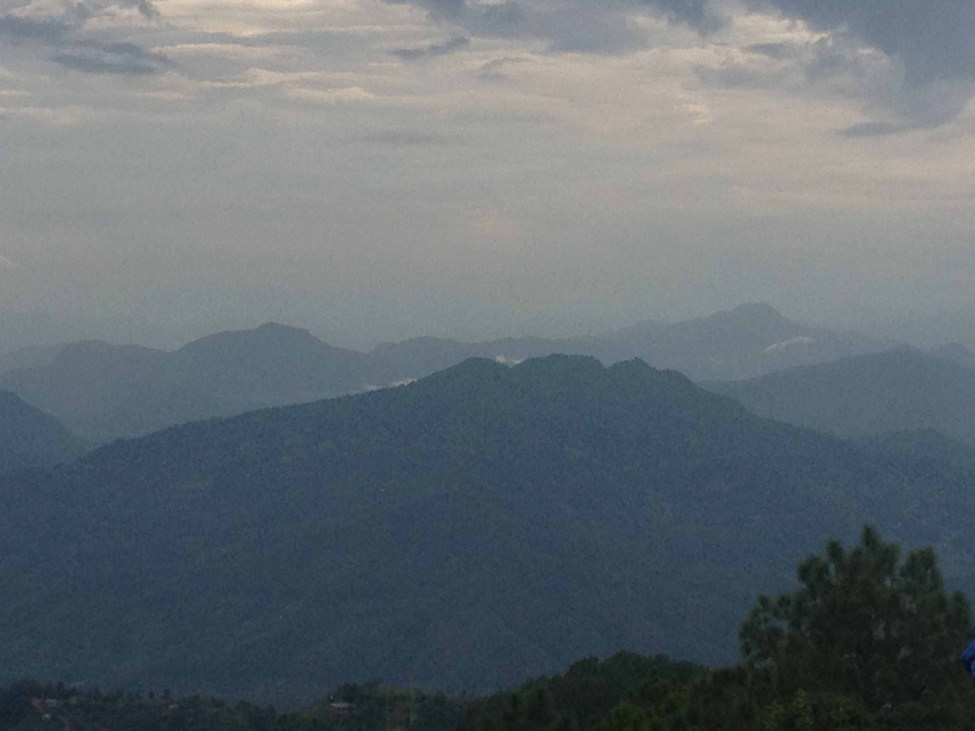
Nep157 View from Gorkha
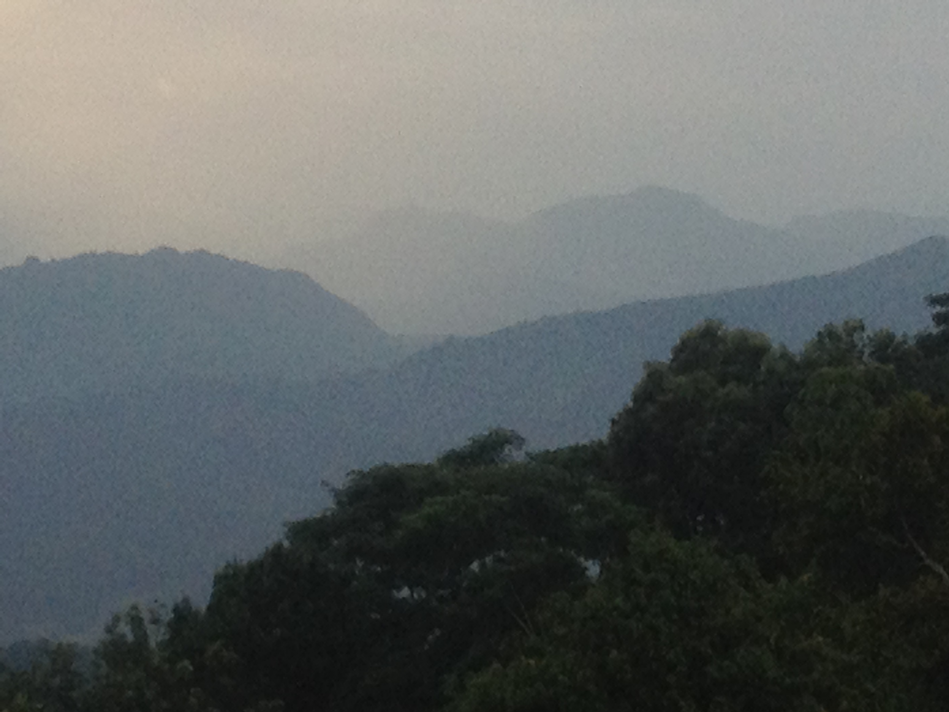
Nep156 View from Gorkha
Nep153 View from Gorkha Palace
Nep150 View from near Gorkha palace
Ganesh Himal
Himal Chuli
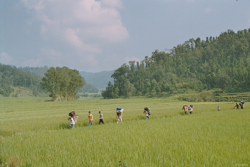
A travers les rizières

Himalayan village
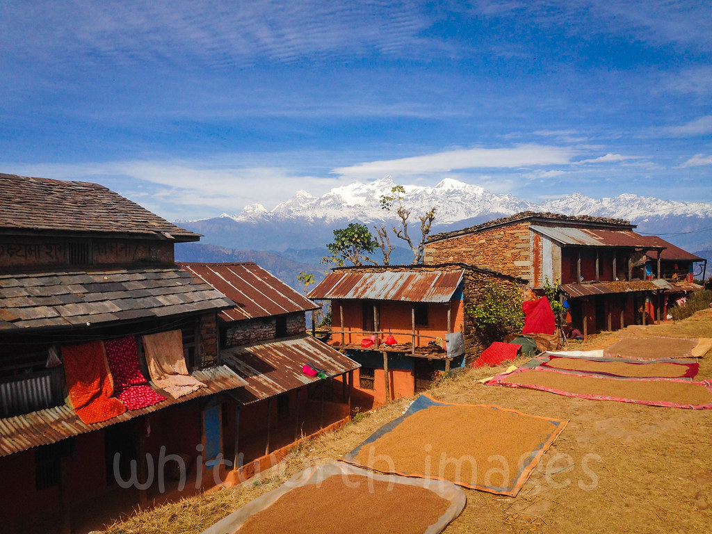
Millet drying

Manaslu - Annapurna, 2011, Day 01
<3<3

เมื่อความเร็วของคนเราไม่เท่ากัน ก็มีหลายเหตุผลที่ทำให้คนสองคนเดินด้วยความเร็วเท่ากัน เพื่อไปด้วยกัน ในเส้นทางของการเทรกกิ้ง มีบางสิ่งบางอย่างที่อาจสำคัญกว่าจุดหมาย นั่นคือเรื่องของ "มิตรภาพ" ที่เกิดขึ้นระหว่างทาง อาจเป็นระหว่างคนในทีม เพื่อนร่วมทาง ห

Terraced field near Gorka

Manaslu - Annapurna, 2011, Day 01
Topographic Map of Jaubari, Nepal
Find elevation by address:

Places near Jaubari, Nepal:
Chhoprak
Amppipal
Liglig Kot लिगलिग कोट
Gorkha Palace
Chhebetar Sport Field
Gorkha
Gorkha Gaun
Palungtar
Ghairung
Chyangli
Dhuwakot
Batase
Pokharigaira
Manakamana Temple
Manakamana Cable Car
Bhanu
Manakamana
Aanbu Khaireni
Kurintar
Kamdhenu Cow Farm, Chyangli Gorkha
Recent Searches:
- Elevation of Corso Fratelli Cairoli, 35, Macerata MC, Italy
- Elevation of Tallevast Rd, Sarasota, FL, USA
- Elevation of 4th St E, Sonoma, CA, USA
- Elevation of Black Hollow Rd, Pennsdale, PA, USA
- Elevation of Oakland Ave, Williamsport, PA, USA
- Elevation of Pedrógão Grande, Portugal
- Elevation of Klee Dr, Martinsburg, WV, USA
- Elevation of Via Roma, Pieranica CR, Italy
- Elevation of Tavkvetili Mountain, Georgia
- Elevation of Hartfords Bluff Cir, Mt Pleasant, SC, USA