Elevation of Jastrzębie-Zdrój, Poland
Location: Poland > Silesian Voivodeship >
Longitude: 18.6101103
Latitude: 49.9454207
Elevation: 242m / 794feet
Barometric Pressure: 98KPa
Elevation Map:
Satellite Map:
Related Photos:
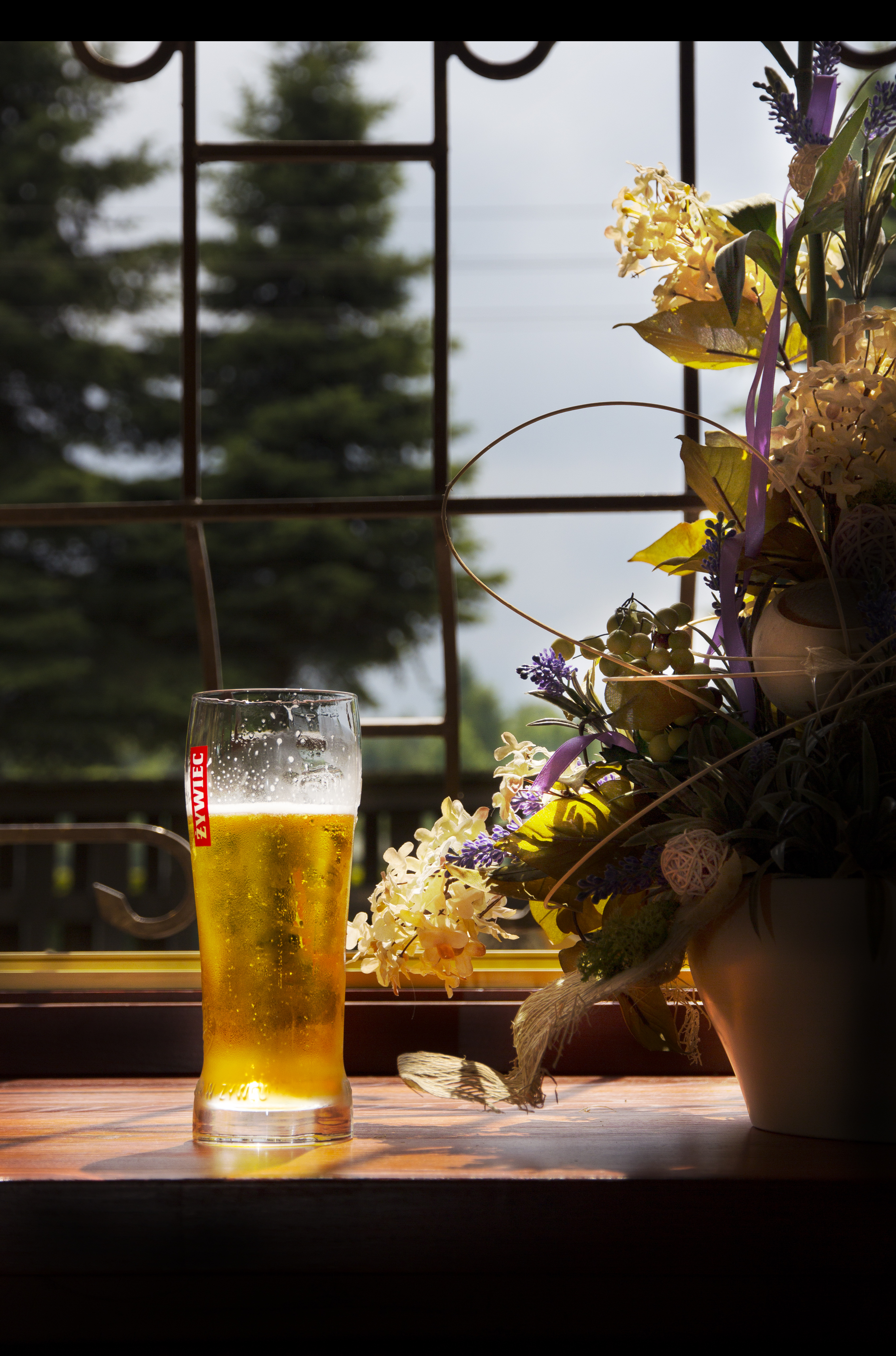
žywiec

Peťanka

Karviná
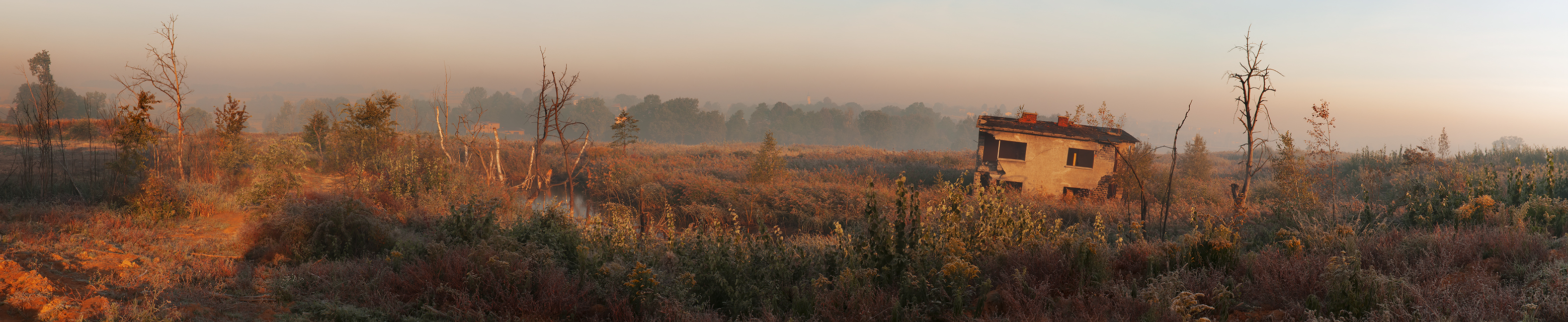
Post-mining sites 05
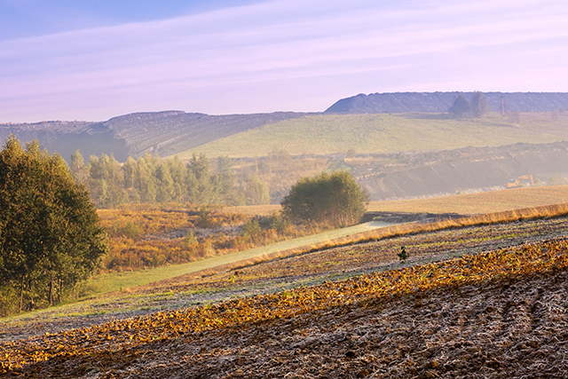
Post-mining sites 08

December sun rays...

Waking up from a sunday nap to see this sunset behid my window was amazing :)
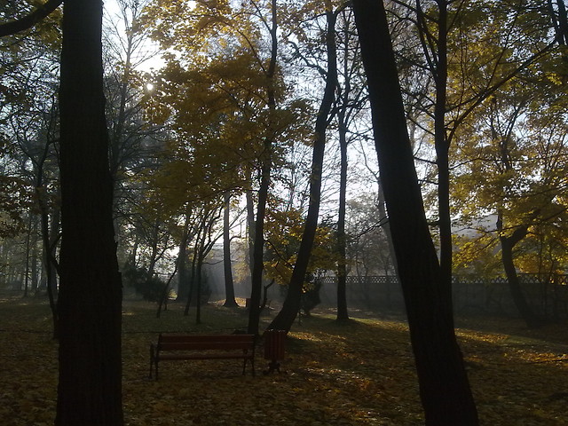
Park miejski w Żorach

DSCF2004-2
old rybnik

DSCF1990-2

DSCF1987-2

DSCF1988-2

DSCF0624-2

DSCF1940-2

DSCF1545-2

S200-284

DSCF1692-2

DSCF1946-2

_DSF3845-2
SKY HDR
#NIGHT 06/08/2018

The winter in my village.

Věřňovice, Pod Dembinou
Topographic Map of Jastrzębie-Zdrój, Poland
Find elevation by address:

Places near Jastrzębie-Zdrój, Poland:
Doubrava
Rybnik
Karviná District
Orlová
Poruba
Těšínská, Poruba, 14 Orlová, Czech Republic
Úvozní 24, Skřečoň, 31 Bohumín, Czech Republic
Skřečoň
Gen. Svobody, 41 Petřvald, Czech Republic
Petřvald
Šunychl
Šunychelská, Šunychl, 81 Bohumín, Czech Republic
Novy Bohumin
Trinec
Pzko Guty
Oldřichovice 93, 61 Třinec-Třinec 1, Czechia
Cieszyn County
Oldřichovice
Řeka
Řeka, 55 Řeka, Czech Republic
Recent Searches:
- Elevation of Corso Fratelli Cairoli, 35, Macerata MC, Italy
- Elevation of Tallevast Rd, Sarasota, FL, USA
- Elevation of 4th St E, Sonoma, CA, USA
- Elevation of Black Hollow Rd, Pennsdale, PA, USA
- Elevation of Oakland Ave, Williamsport, PA, USA
- Elevation of Pedrógão Grande, Portugal
- Elevation of Klee Dr, Martinsburg, WV, USA
- Elevation of Via Roma, Pieranica CR, Italy
- Elevation of Tavkvetili Mountain, Georgia
- Elevation of Hartfords Bluff Cir, Mt Pleasant, SC, USA