Elevation of Jarogo Waterfall, Jarogo Valley، Swat, Khyber Pakhtunkhwa, Pakistan
Location: Pakistan > Khyber Pakhtunkhwa > Swat >
Longitude: 72.2115925
Latitude: 35.103334
Elevation: -10000m / -32808feet
Barometric Pressure: 295KPa
Elevation Map:
Satellite Map:
Related Photos:

Human(s) of Pakistan - Harnoi Khwar - Khyber Pakhtunkhwa - Pakistan
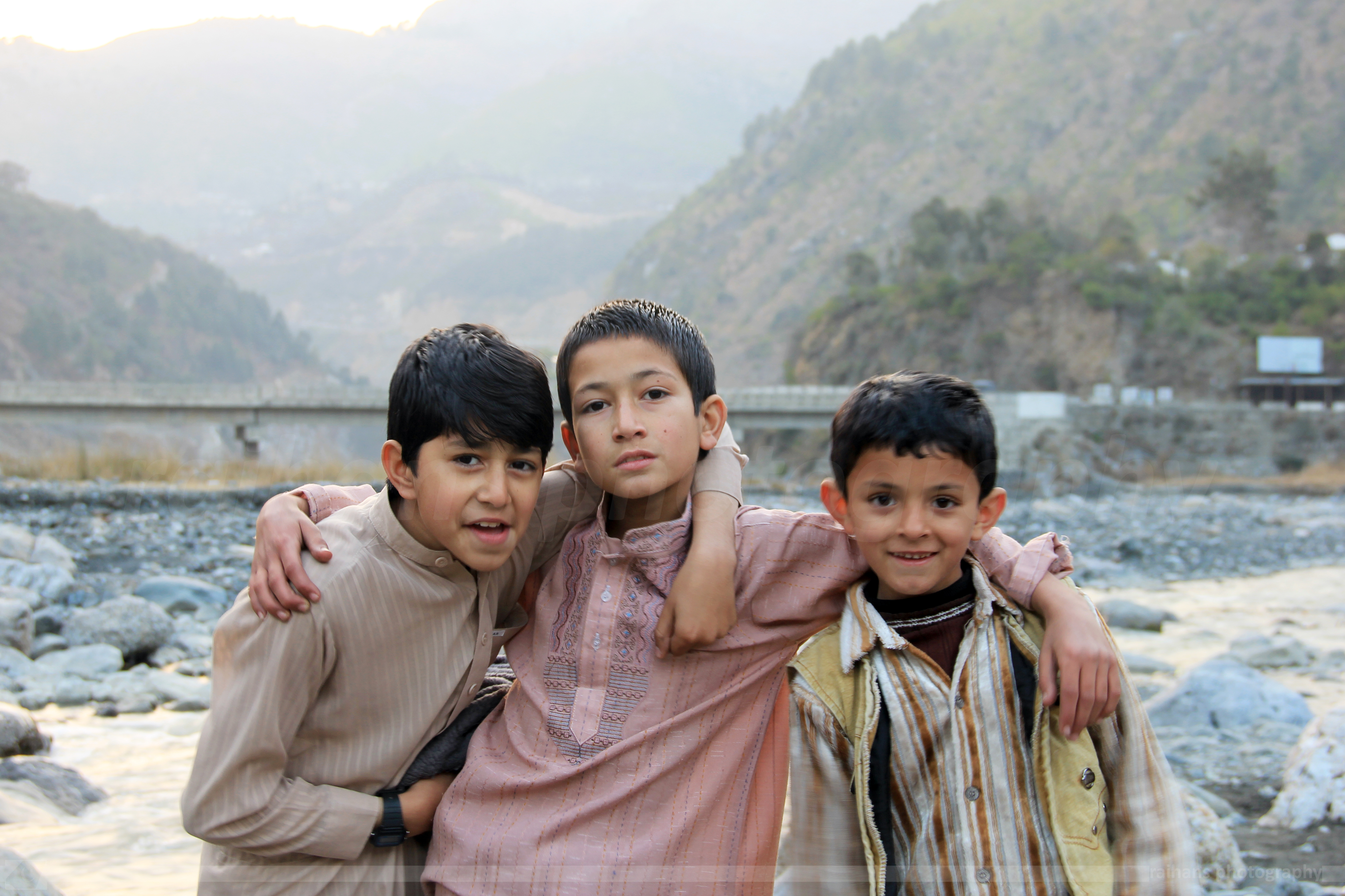
Human(s) of Pakistan - Harnoi Khwar - Khyber Pakhtunkhwa - Pakistan

Mesmerizing Eyes...

Expressive..

At Hotel Mid-Hills, Kalam, Swat.
Topographic Map of Jarogo Waterfall, Jarogo Valley، Swat, Khyber Pakhtunkhwa, Pakistan
Find elevation by address:

Places near Jarogo Waterfall, Jarogo Valley، Swat, Khyber Pakhtunkhwa, Pakistan:
Kakad
Khyber Pakhtunkhwa
Wari
Darora
Kabal
Toormang
Bibyawar
Asbanr
Kanju
Cadet College Swat
Chukiatan Bazaar
Kabal
Saidu Sharif Airport
Madyan
Ningolai Village
Ningolai Village
Swat
Hotel Swat Regency
Khyber Shinwari Restaurant
Relax Food Point
Recent Searches:
- Elevation of Corso Fratelli Cairoli, 35, Macerata MC, Italy
- Elevation of Tallevast Rd, Sarasota, FL, USA
- Elevation of 4th St E, Sonoma, CA, USA
- Elevation of Black Hollow Rd, Pennsdale, PA, USA
- Elevation of Oakland Ave, Williamsport, PA, USA
- Elevation of Pedrógão Grande, Portugal
- Elevation of Klee Dr, Martinsburg, WV, USA
- Elevation of Via Roma, Pieranica CR, Italy
- Elevation of Tavkvetili Mountain, Georgia
- Elevation of Hartfords Bluff Cir, Mt Pleasant, SC, USA