Elevation of Japan, 〒- Fukushima-ken, Minamisōma-shi, Kashimaku Asahi, 31 フォレストガーデン柾
Location: Japan > Fukushima Prefecture > Minamisoma > 31 Kashimaku Asahi >
Longitude: 140.970469
Latitude: 37.6995269
Elevation: 5m / 16feet
Barometric Pressure: 101KPa
Elevation Map:
Satellite Map:
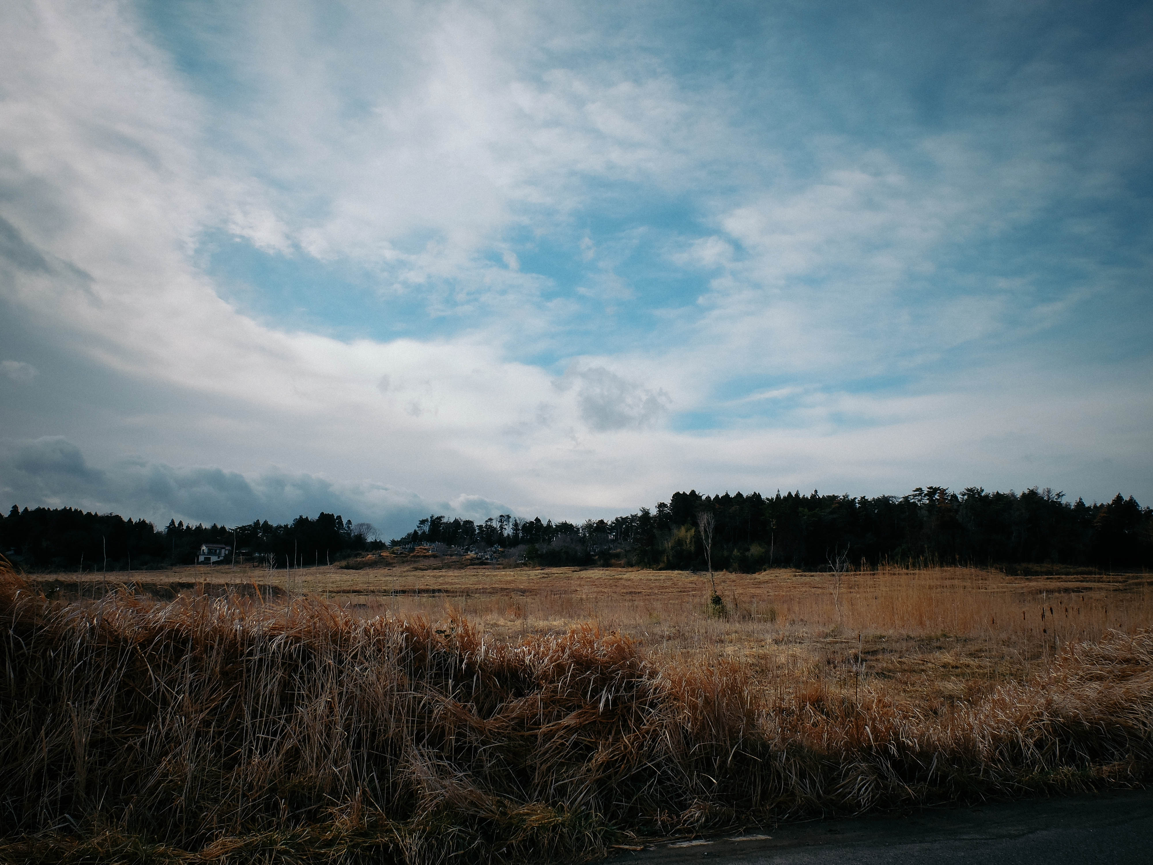
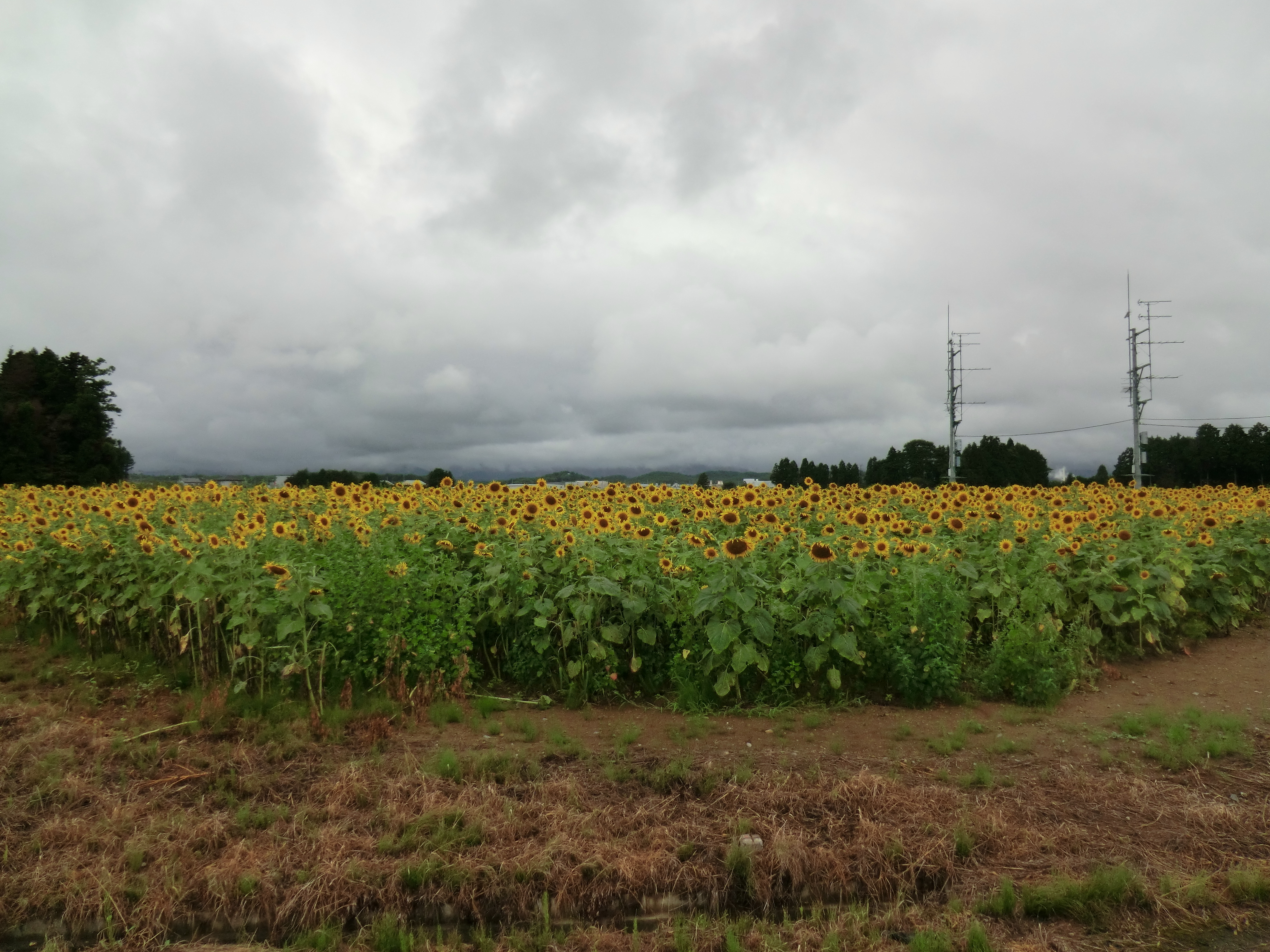
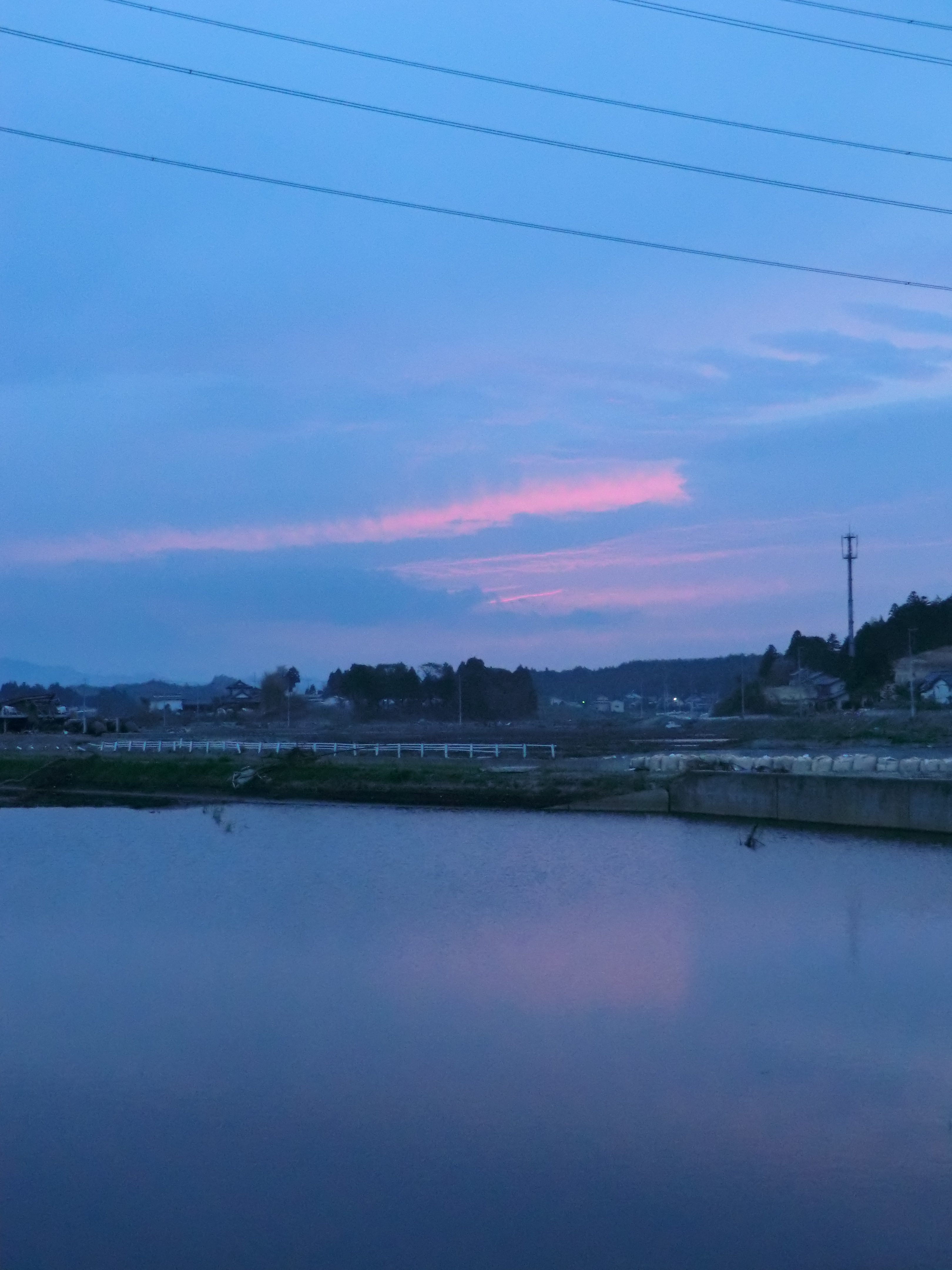
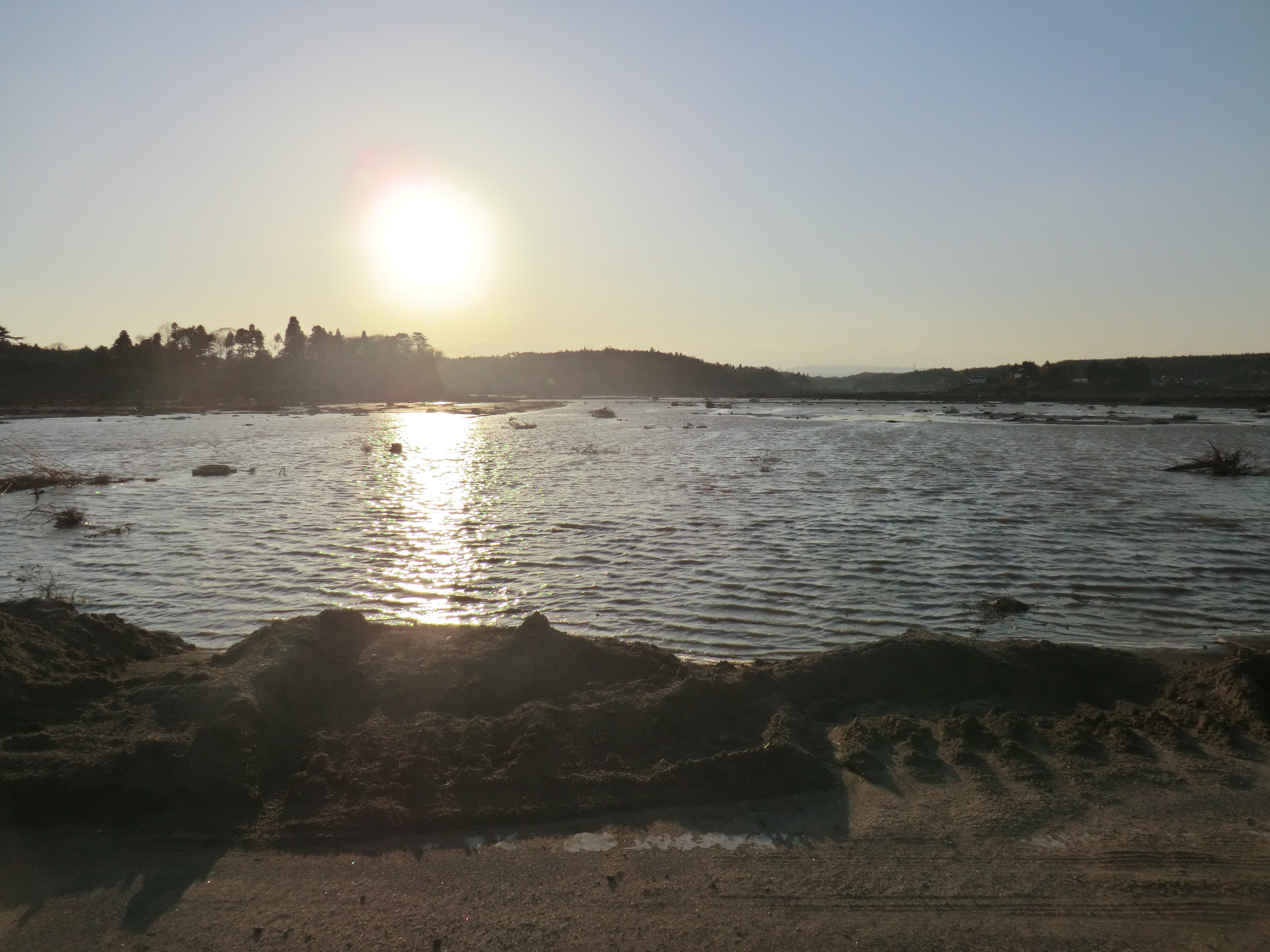
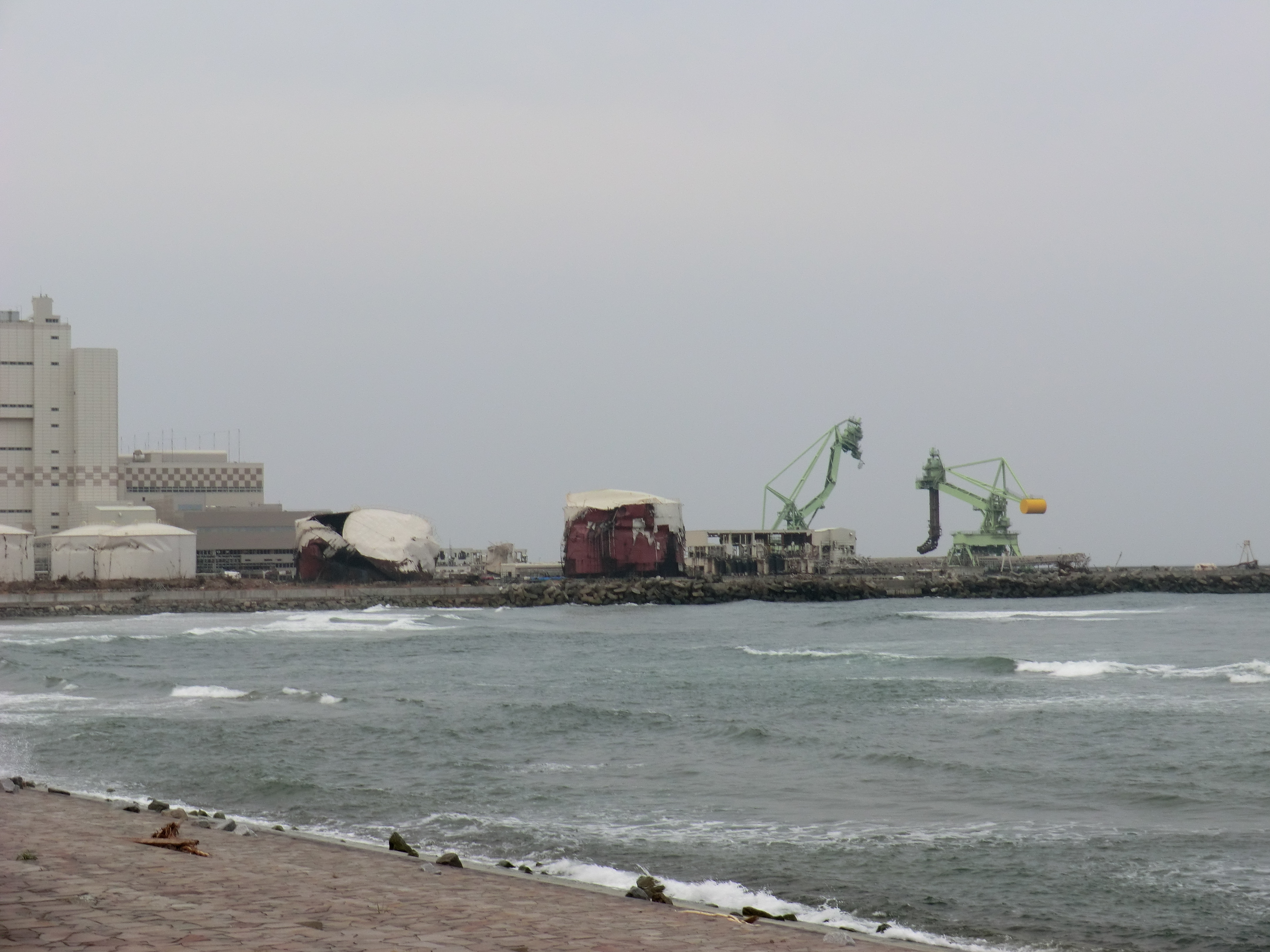
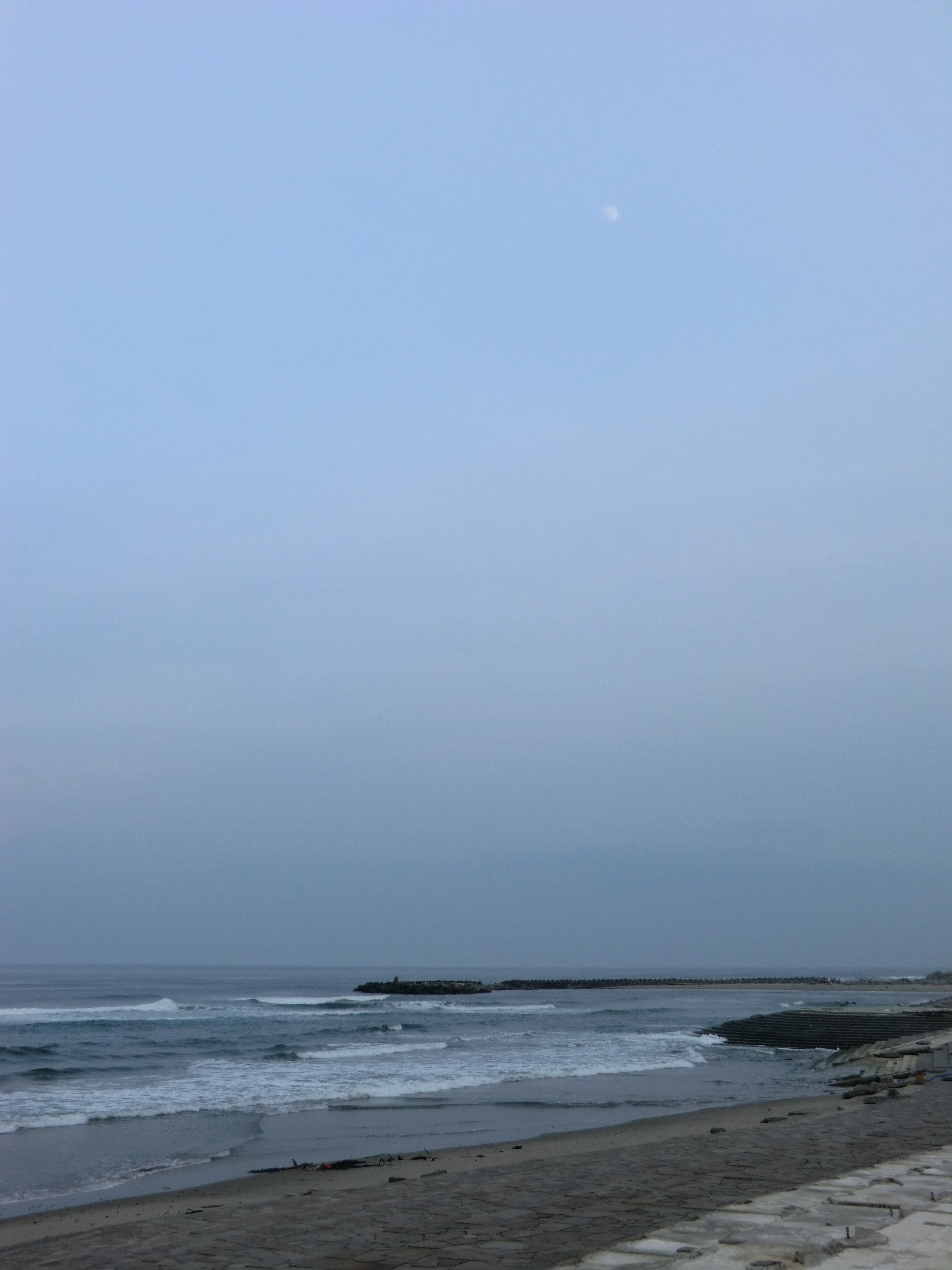
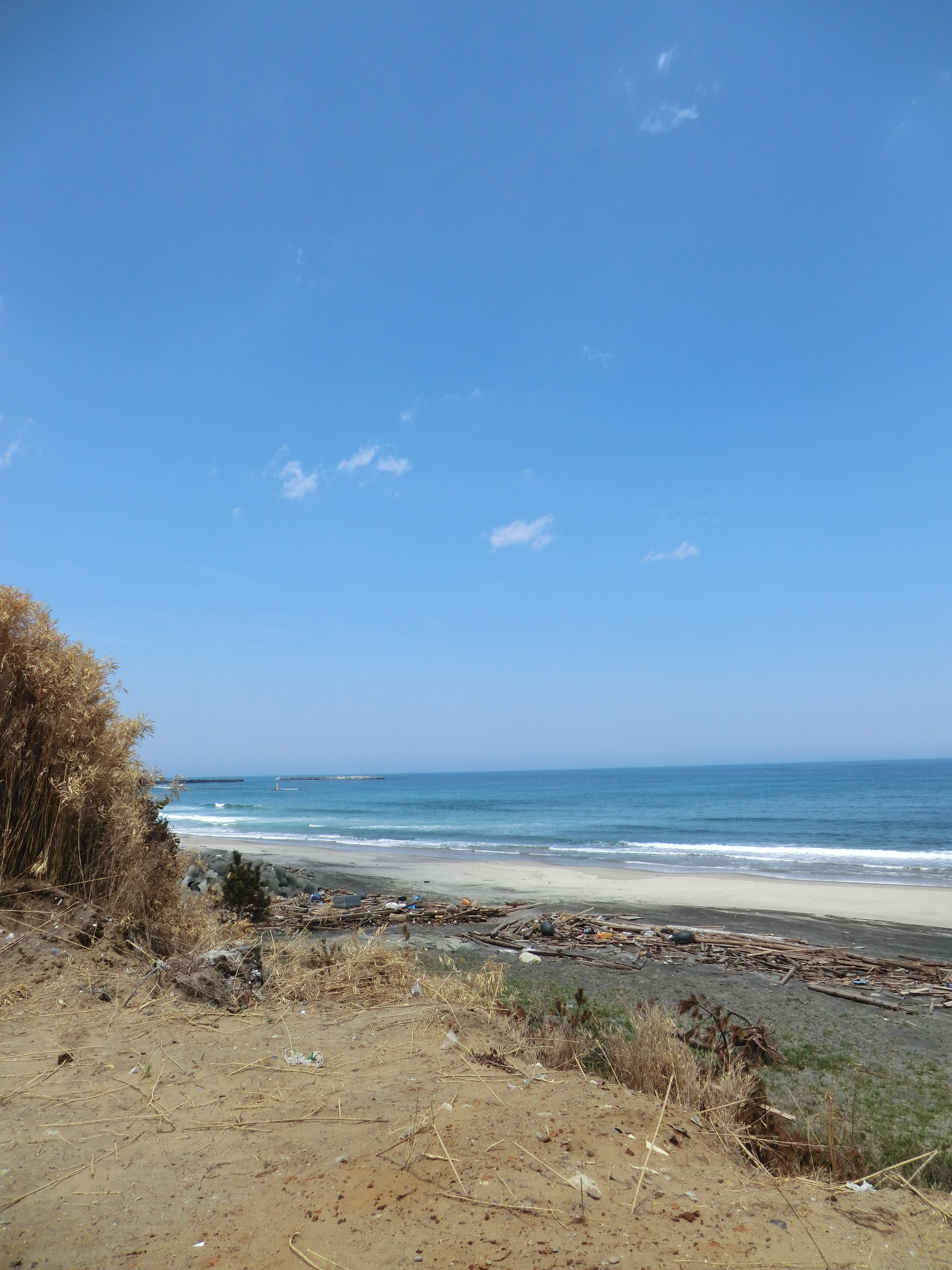
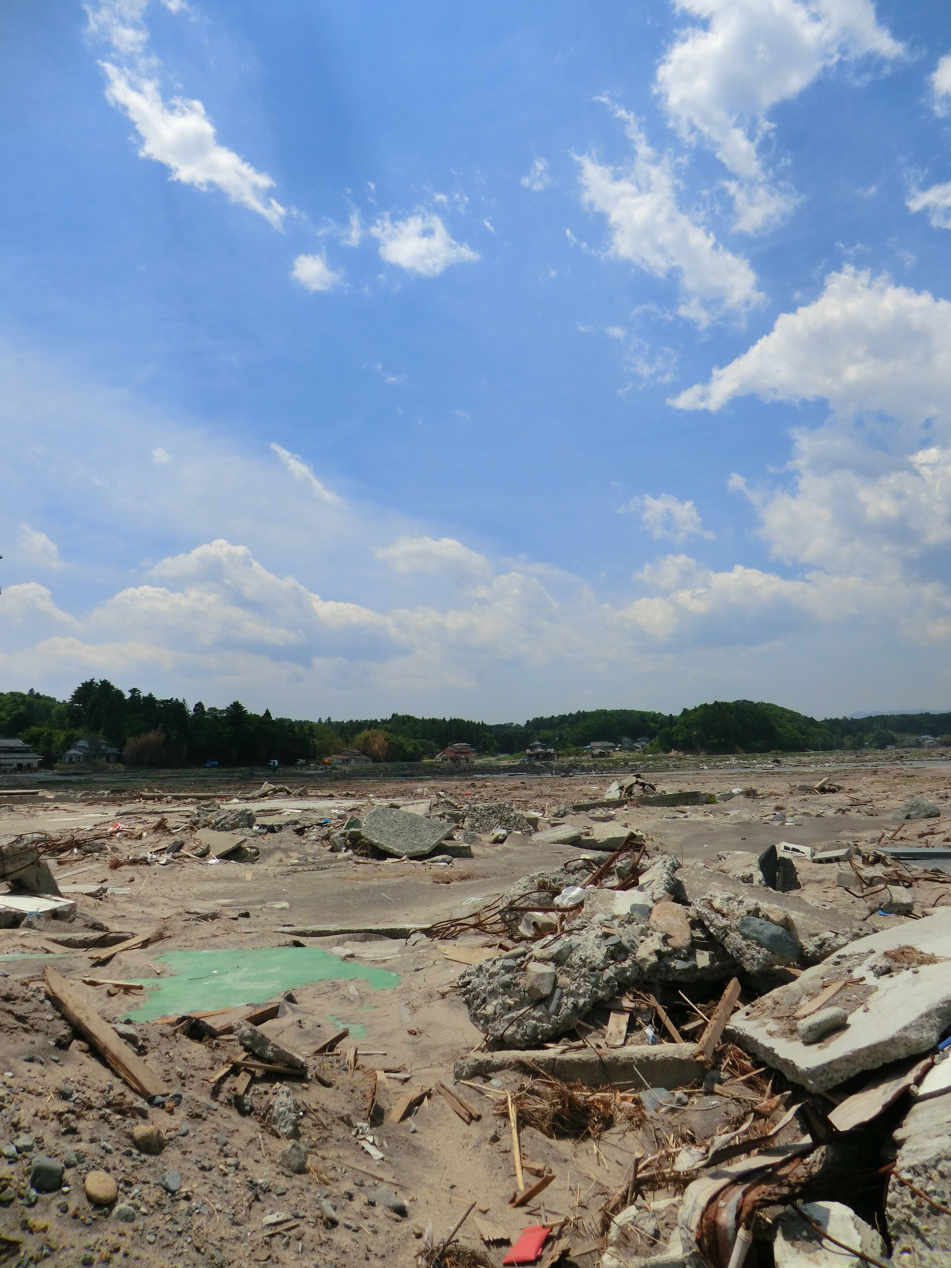
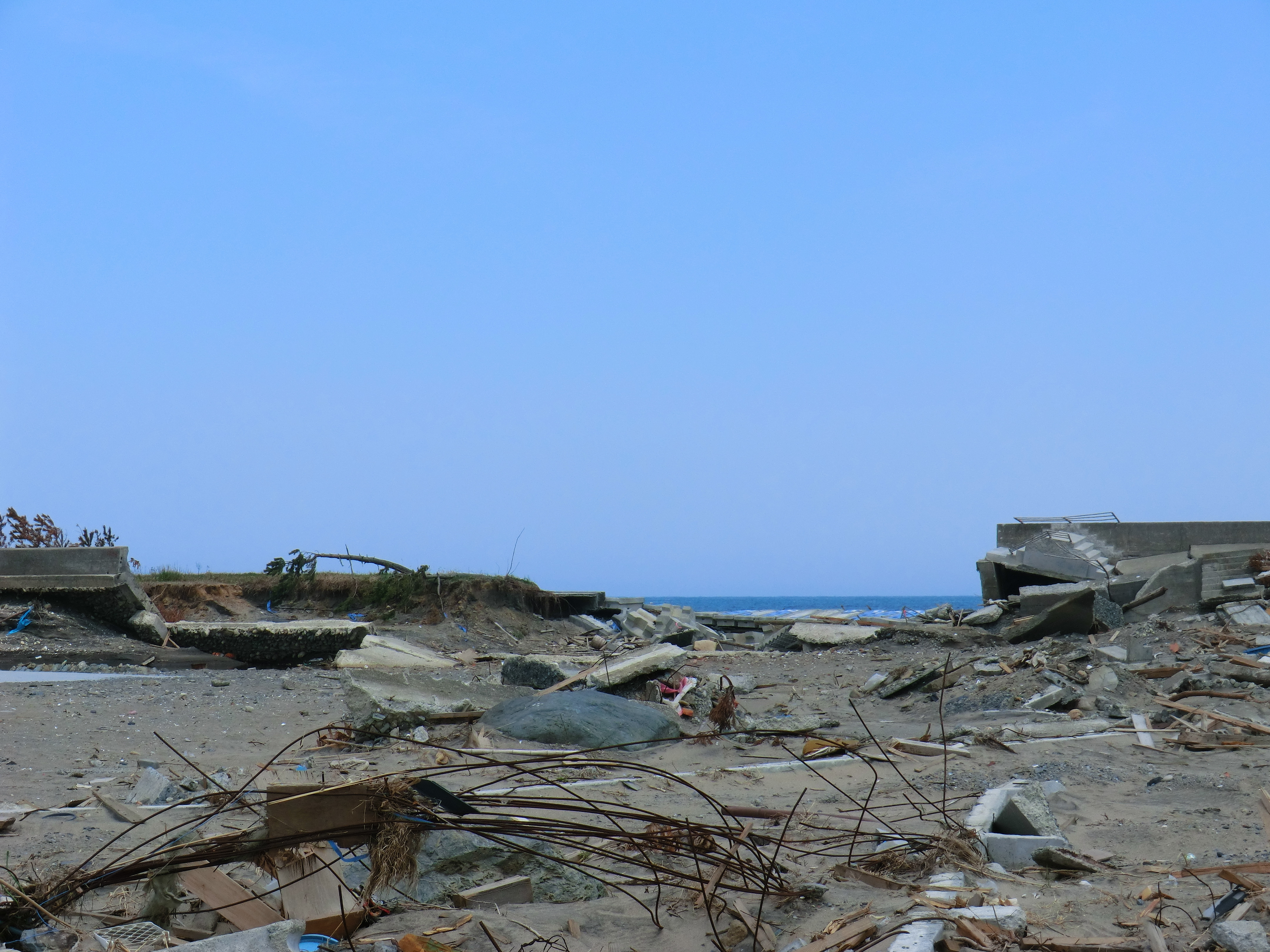
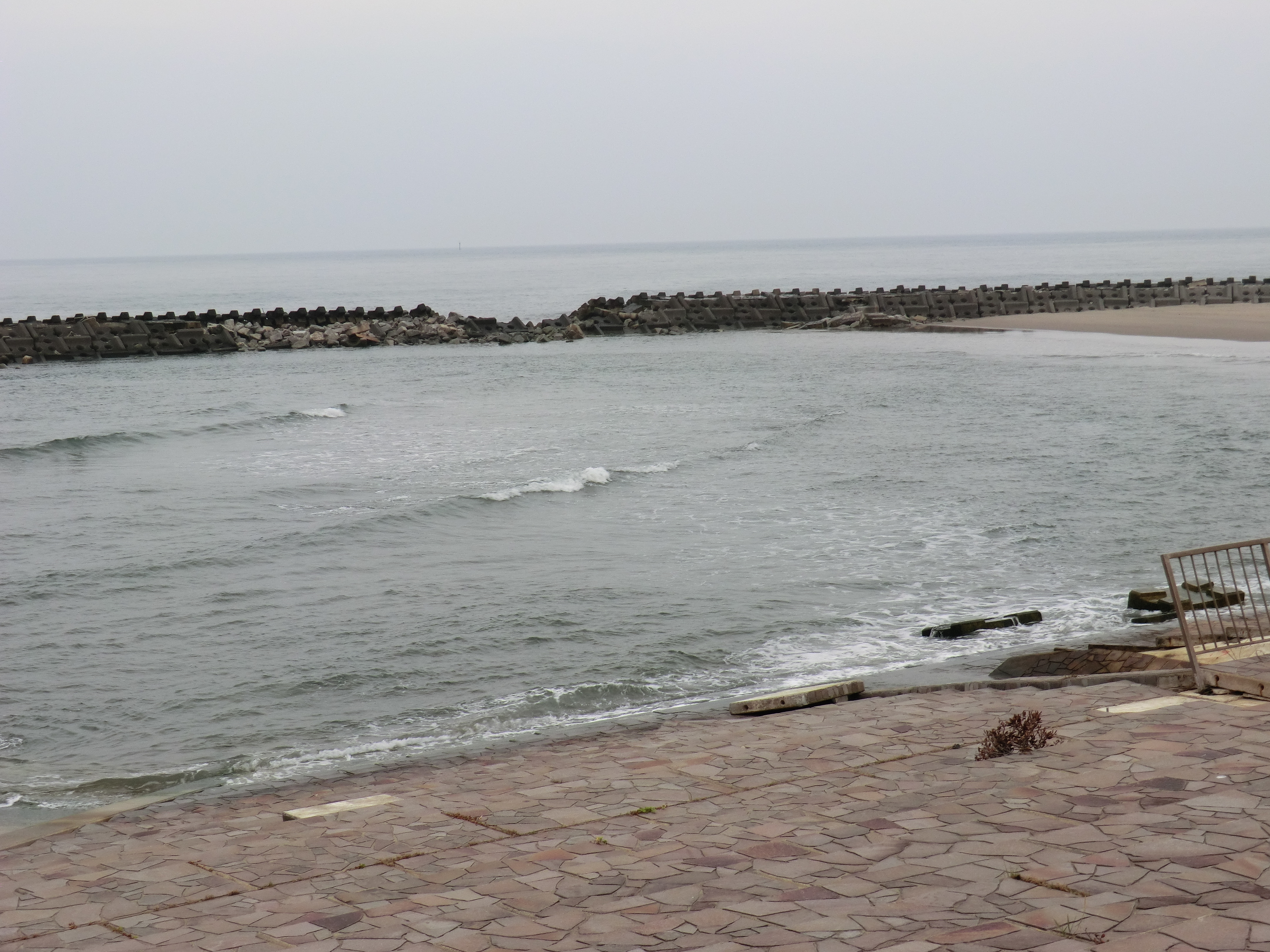
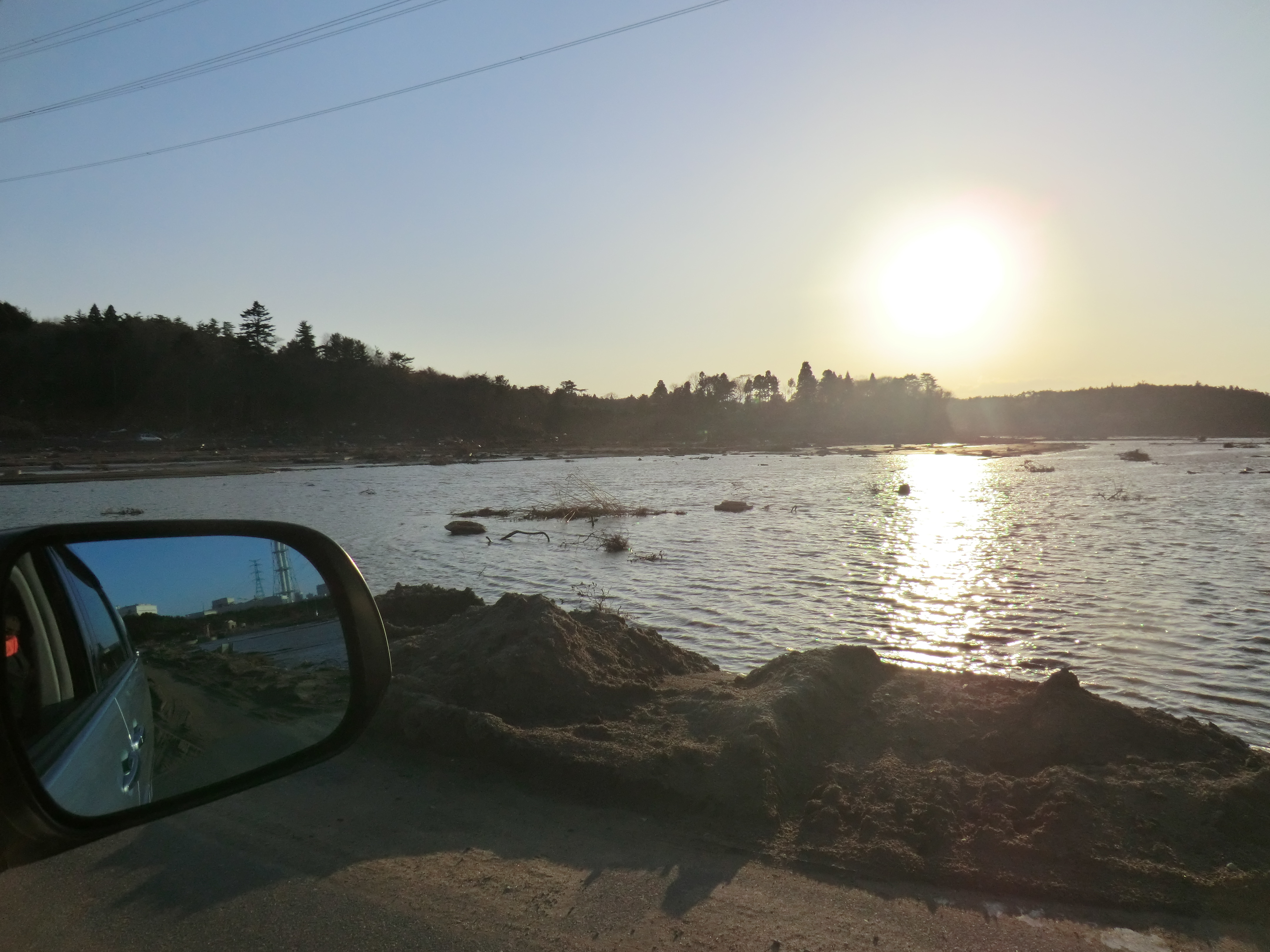
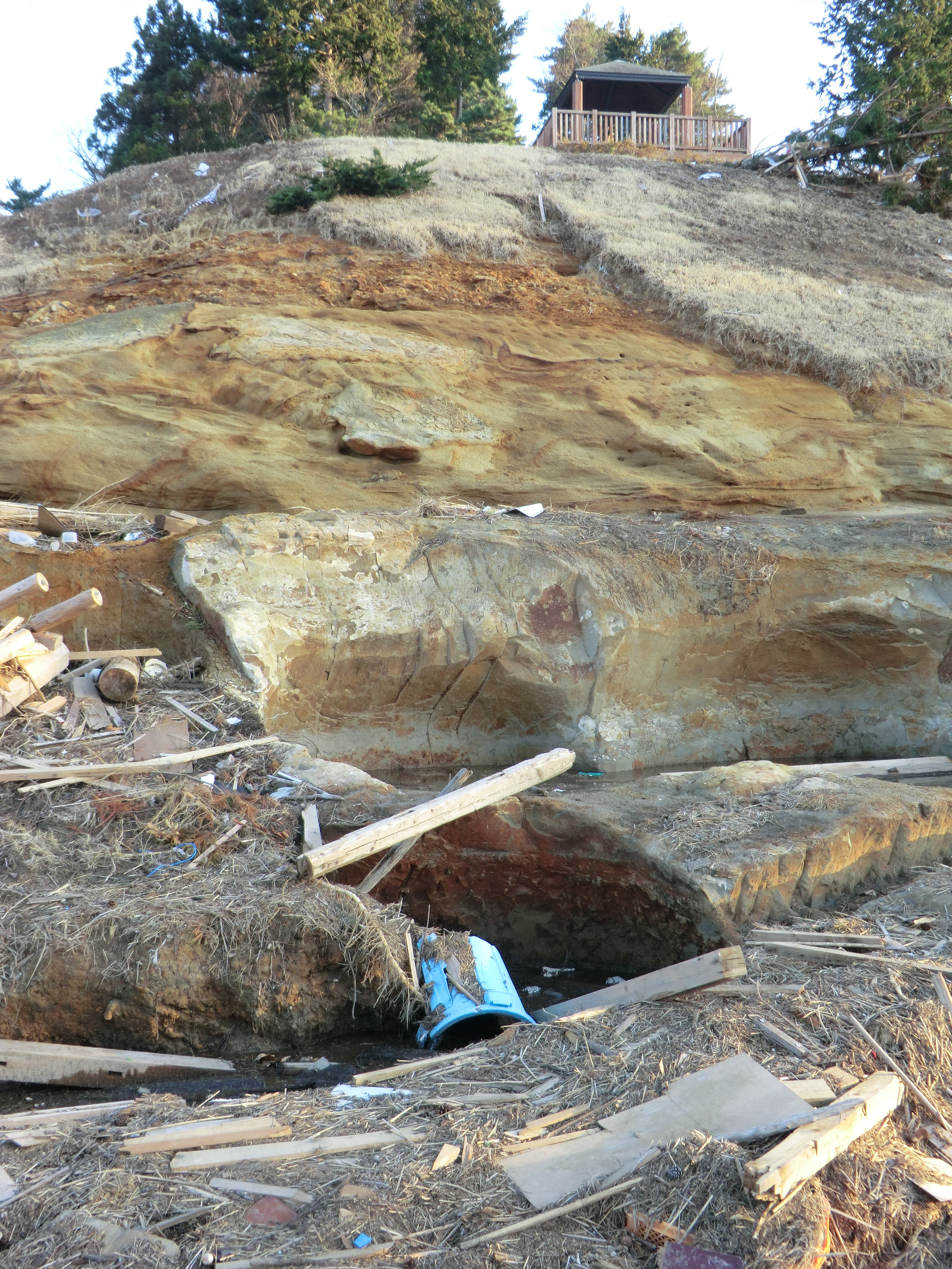
Related Photos:

one's old home
Day 310/365
CIMG1262.JPG
CIMG1155.JPG
CIMG0428.JPG
CIMG1122.JPG

CIMG0961.JPG
CIMG1133.JPG
CIMG0972.JPG
CIMG0962.JPG

CIMG1146.JPG

IMG_1024.JPG
CIMG0963.JPG
CIMG0951.JPG
CIMG1147.JPG
CIMG0958.JPG
CIMG0956.JPG
CIMG1121.JPG
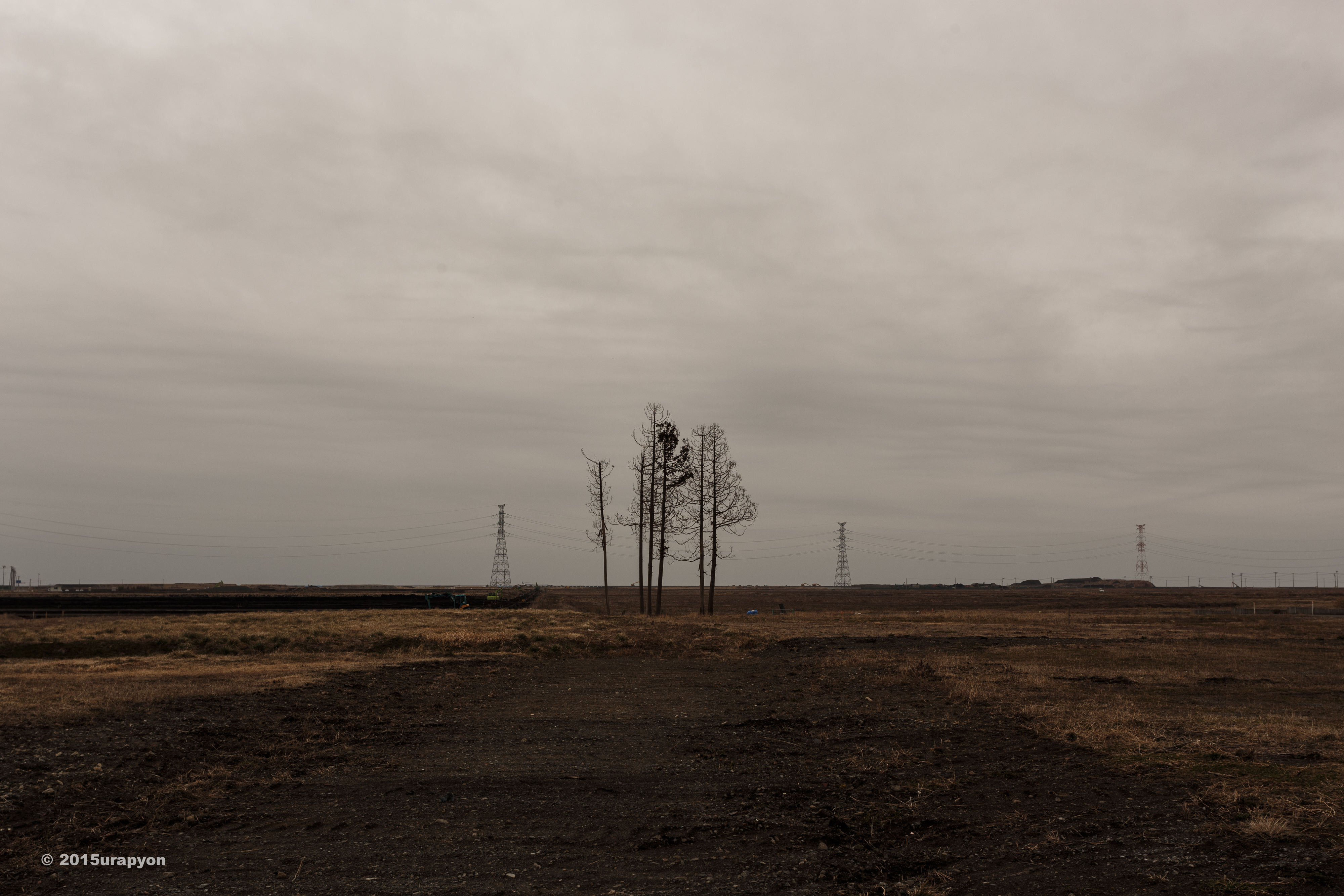
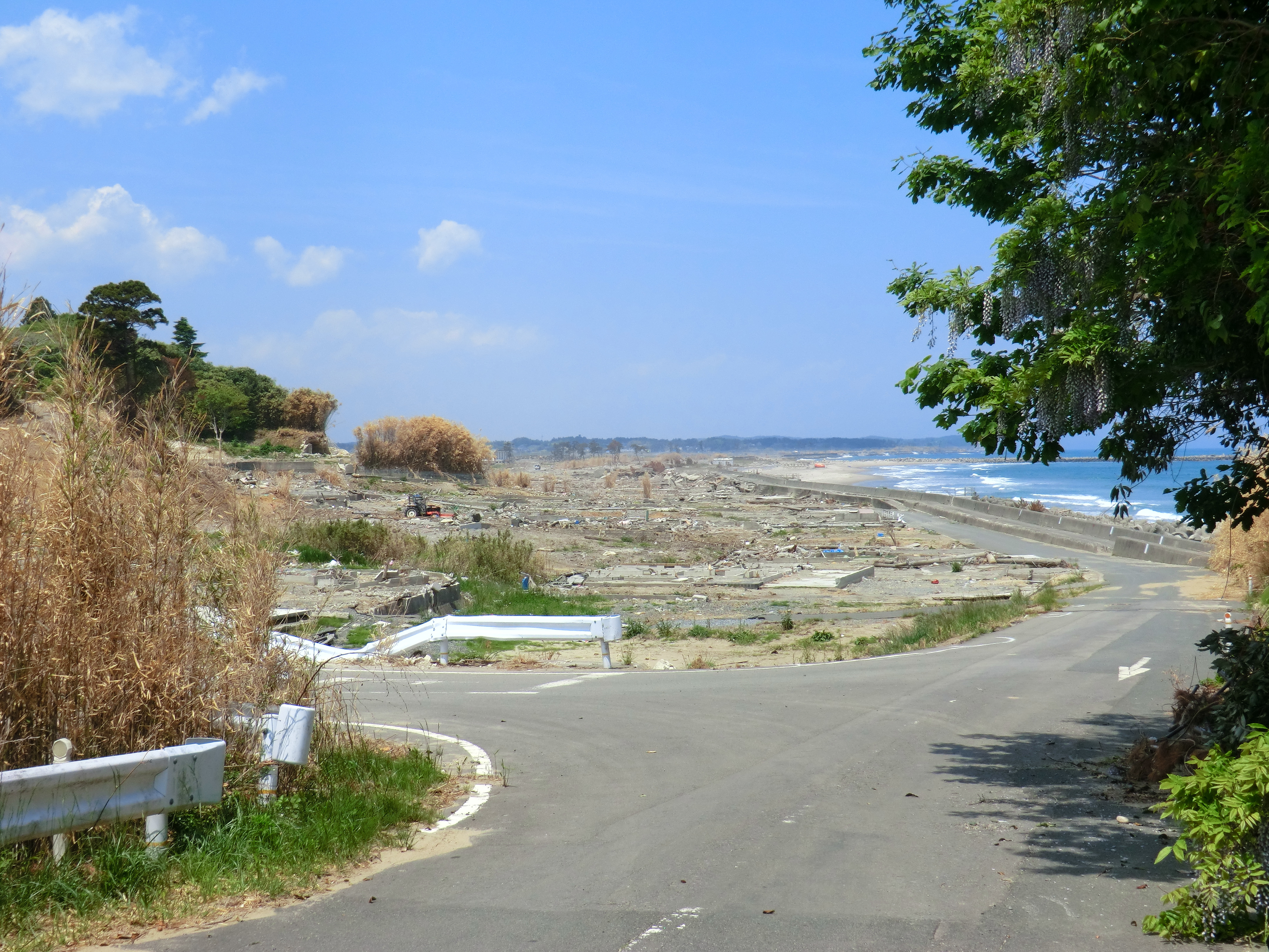
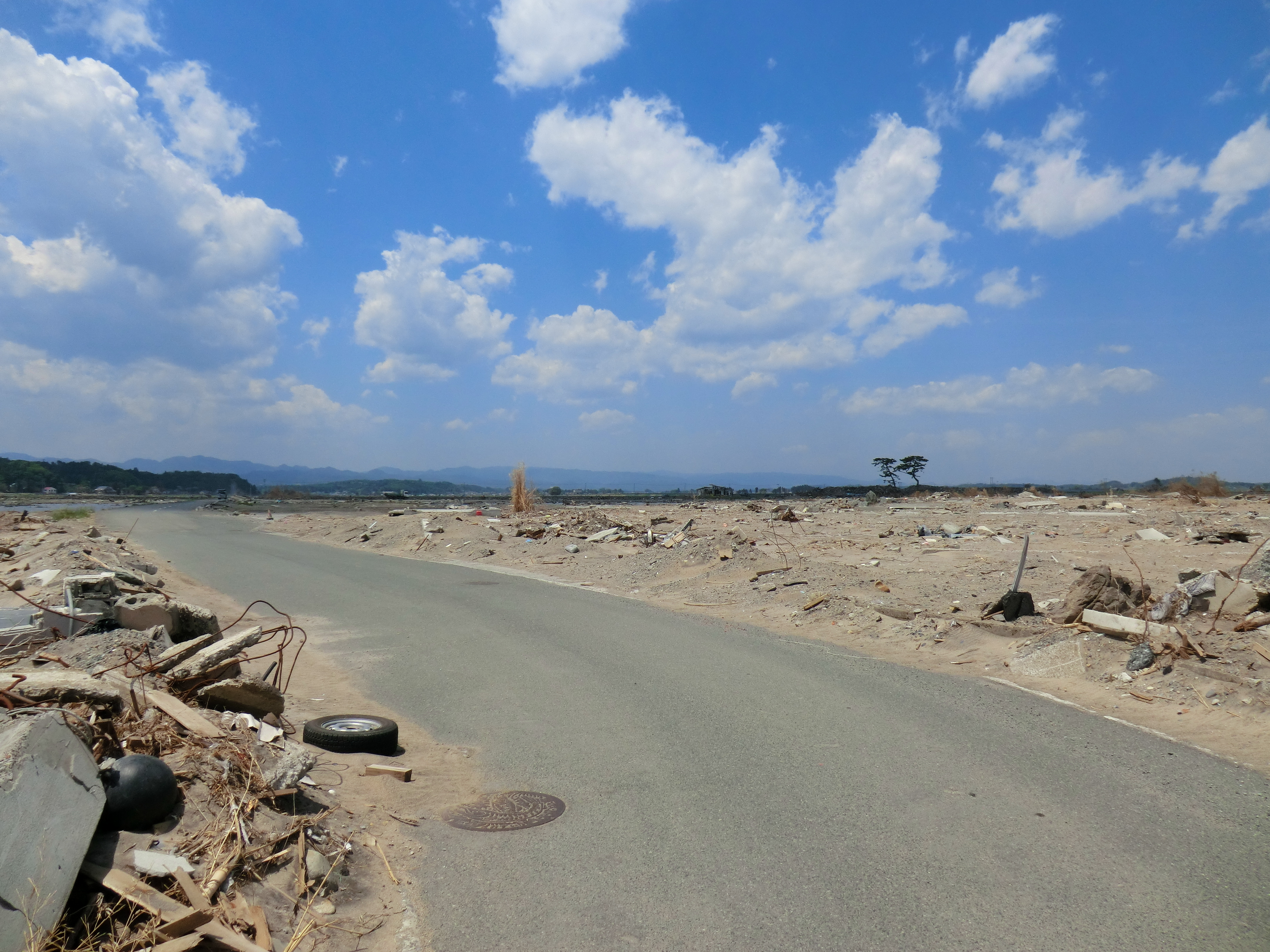
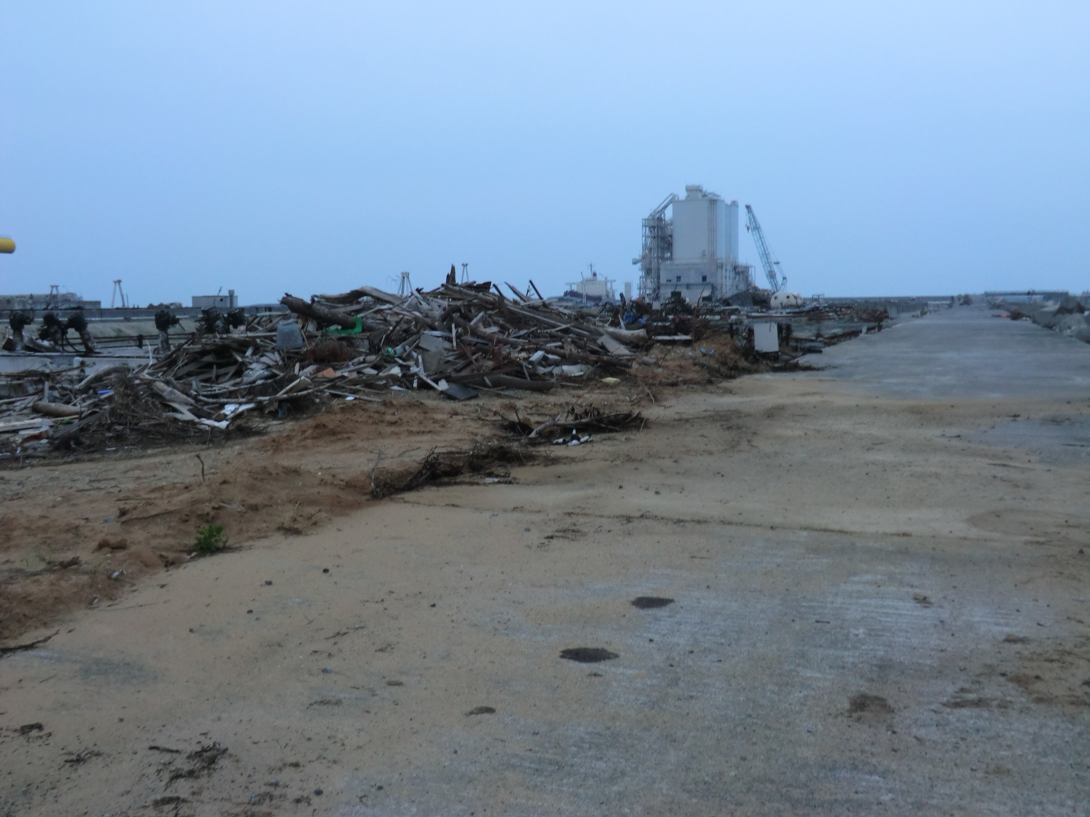
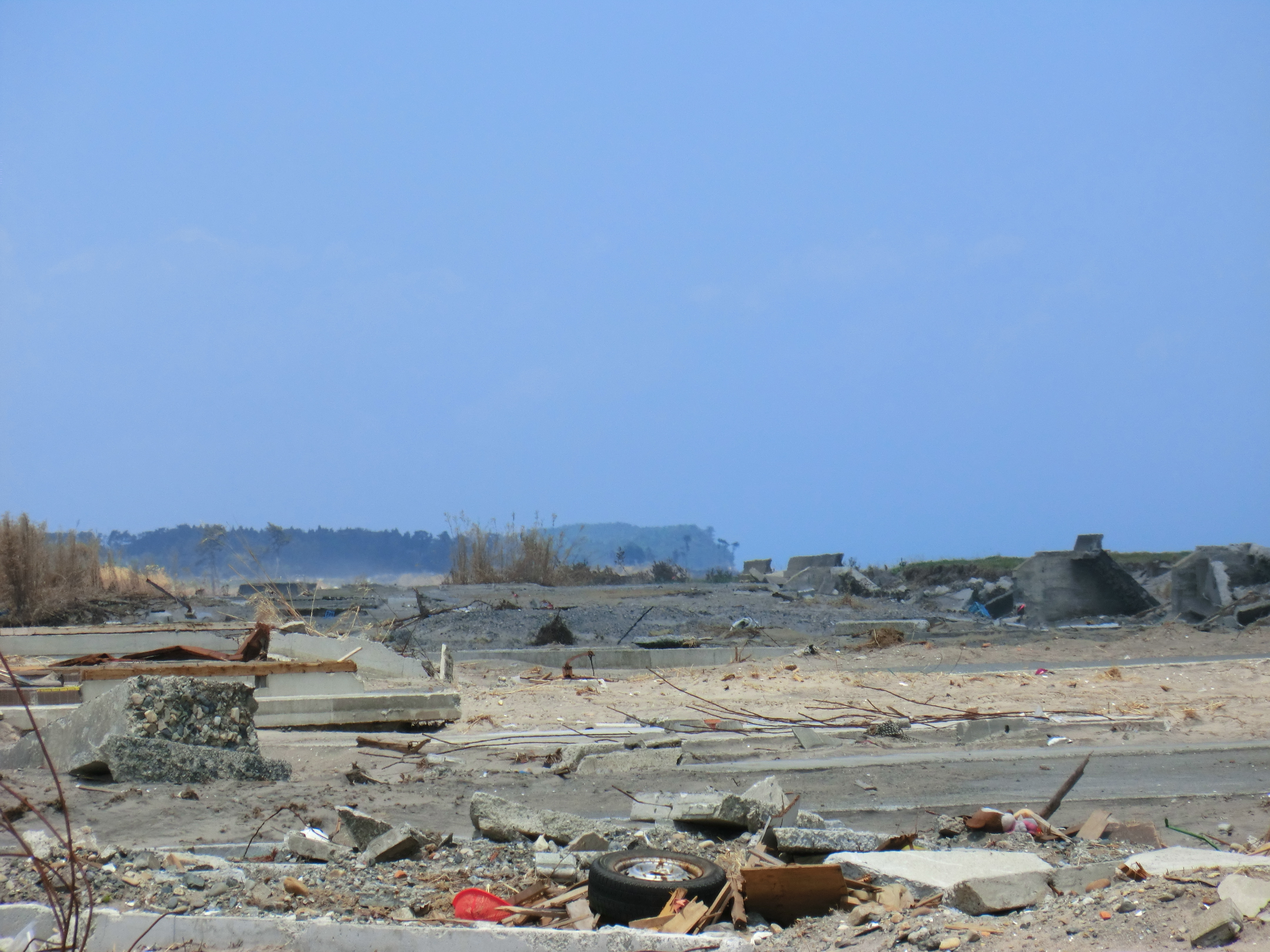
Minami Souma 南相馬市
CIMG0429.JPG
CIMG0444.JPG
Topographic Map of Japan, 〒- Fukushima-ken, Minamisōma-shi, Kashimaku Asahi, 31 フォレストガーデン柾
Find elevation by address:

Places near Japan, 〒- Fukushima-ken, Minamisōma-shi, Kashimaku Asahi, 31 フォレストガーデン柾:
31 Kashimaku Asahi
Maehata-56 Kashimaku Minamiyakata, Minamisōma-shi, Fukushima-ken -, Japan
Nagata- Kashimaku Nagata, Minamisōma-shi, Fukushima-ken -, Japan
Takanosu-63 Kashimaku Terauchi, Minamisōma-shi, Fukushima-ken -, Japan
Minamisonegi-1 Kashimaku Shionosaki, Minamisōma-shi, Fukushima-ken -, Japan
Akasaka-12 Kashimaku Kawago, Minamisōma-shi, Fukushima-ken -, Japan
Toriida-28 Kashimaku Okawada, Minamisōma-shi, Fukushima-ken -, Japan
Kamiasada-42 Kashimaku Minamiyunuki, Minamisōma-shi, Fukushima-ken -, Japan
Nishinagawatari- Kashimaku Nagawatari, Minamisōma-shi, Fukushima-ken -, Japan
Kitakuwabara-37 Yunuki, Sōma-shi, Fukushima-ken -, Japan
Kamiukita- Kashimaku Ukita, Minamisōma-shi, Fukushima-ken -, Japan
Hiroyachi-75 Akagi, Sōma-shi, Fukushima-ken -, Japan
Minamisoma
Inada- Kashimaku Yamashita, Minamisōma-shi, Fukushima-ken -, Japan
Inarimae- Tachiya, Sōma-shi, Fukushima-ken -, Japan
Nakadai- Kashiwazaki, Sōma-shi, Fukushima-ken -, Japan
Minamizawa-63 Tomizawa, Sōma-shi, Fukushima-ken -, Japan
Kozutsumi- Hodota, Sōma-shi, Fukushima-ken -, Japan
Goanzawa- Tsubota, Sōma-shi, Fukushima-ken -, Japan
Iwaanamae--12 Babano, Sōma-shi, Fukushima-ken -, Japan
Recent Searches:
- Elevation of Corso Fratelli Cairoli, 35, Macerata MC, Italy
- Elevation of Tallevast Rd, Sarasota, FL, USA
- Elevation of 4th St E, Sonoma, CA, USA
- Elevation of Black Hollow Rd, Pennsdale, PA, USA
- Elevation of Oakland Ave, Williamsport, PA, USA
- Elevation of Pedrógão Grande, Portugal
- Elevation of Klee Dr, Martinsburg, WV, USA
- Elevation of Via Roma, Pieranica CR, Italy
- Elevation of Tavkvetili Mountain, Georgia
- Elevation of Hartfords Bluff Cir, Mt Pleasant, SC, USA