Elevation of Jambughoda, Gujarat, India
Location: India > Gujarat > Panchmahal >
Longitude: 73.7345464
Latitude: 22.3637647
Elevation: 101m / 331feet
Barometric Pressure: 100KPa
Elevation Map:
Satellite Map:
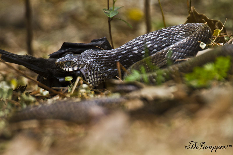
Related Photos:
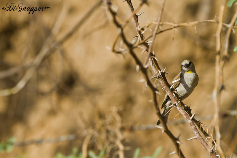
Yellow Throated Sparrow

#beauty of #nature

Sindhu talikhede

more henna

Aava And Möna

_MG_1627 DS Small

_MG_1511 DS Small

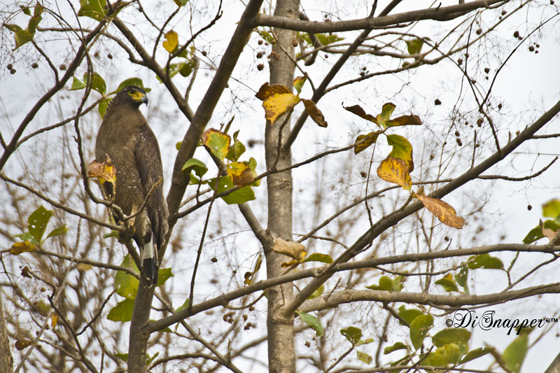
Crested Serpent Eagle
_MG_1564 DS Small
_MG_1585 DS Small
_MG_1606 DS Small

_MG_1635 DS Small
_MG_1629 DS Small

_MG_1638 DS Small

_MG_1645 DS Small
_MG_1669 DS Small

_MG_1646 DS Small
_MG_1681 DS Small
_MG_1672 DS Small
_MG_1687 DS Samll

_MG_1660 DS Small
Topographic Map of Jambughoda, Gujarat, India
Find elevation by address:

Places near Jambughoda, Gujarat, India:
Pavijetpur
Chhota Udaipur
Pavagadh Hills
Pavagad
Nasvadi
Kavant
Gayatri Shakti Pith Temple
Dove Deck - Nrs Projects
Kevadia
Waghodia Chowkdi
91/92/a
Sayaji Park Society
Ajwa Road
Ajwa Road
Unnamed Road
Alindra
Narmada
Savli Gidc
Mangal Bazar
Sardar Sarovar Dam
Recent Searches:
- Elevation of Corso Fratelli Cairoli, 35, Macerata MC, Italy
- Elevation of Tallevast Rd, Sarasota, FL, USA
- Elevation of 4th St E, Sonoma, CA, USA
- Elevation of Black Hollow Rd, Pennsdale, PA, USA
- Elevation of Oakland Ave, Williamsport, PA, USA
- Elevation of Pedrógão Grande, Portugal
- Elevation of Klee Dr, Martinsburg, WV, USA
- Elevation of Via Roma, Pieranica CR, Italy
- Elevation of Tavkvetili Mountain, Georgia
- Elevation of Hartfords Bluff Cir, Mt Pleasant, SC, USA