Elevation of Jalan Bukit Bendira, Tenom, Sabah, Malaysia
Location: Malaysia > Sabah >
Longitude: 115.939812
Latitude: 5.1251981
Elevation: 226m / 741feet
Barometric Pressure: 99KPa
Elevation Map:
Satellite Map:
Related Photos:
CO 1069-538-42
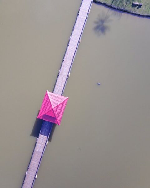
Trying out DJI Mavic Pro. Enjoy viewing things in different perspective. #djimavicpro
CO 1069-538-07
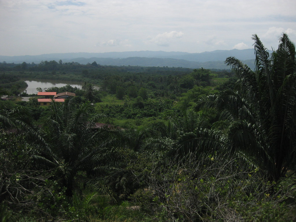
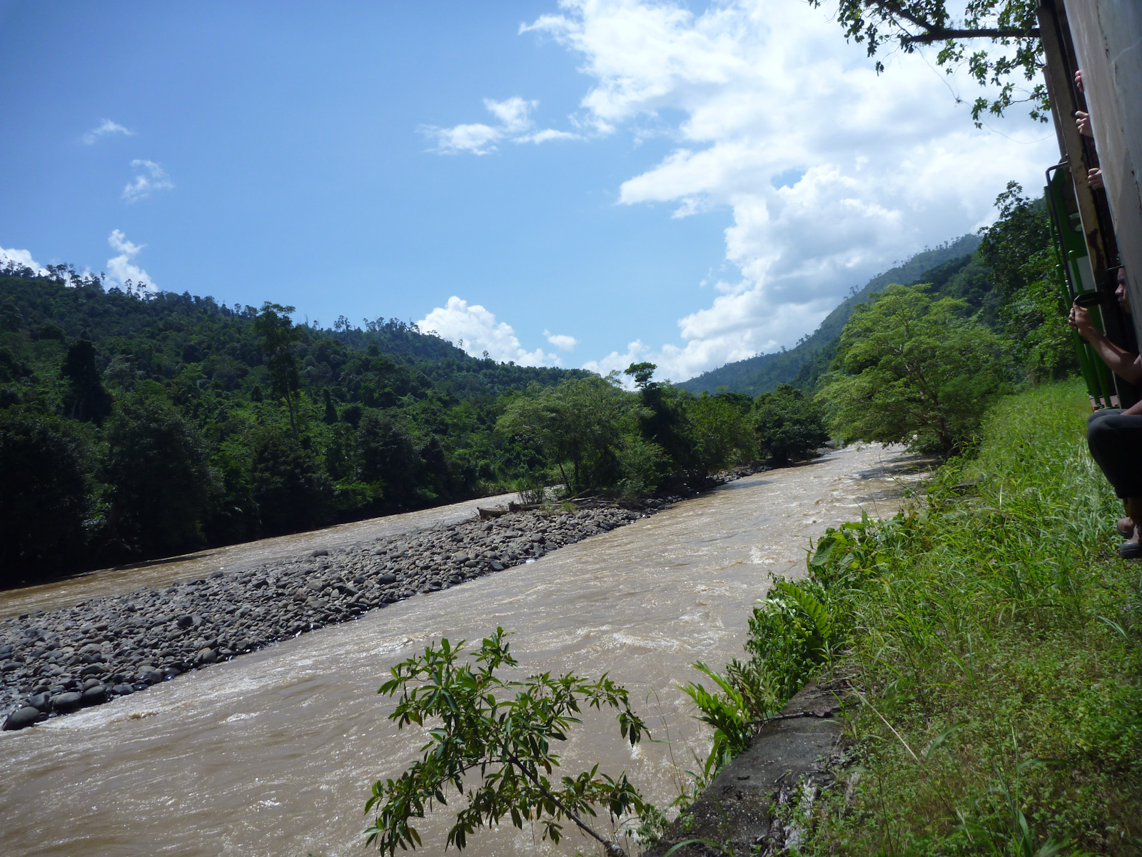
View of Tenom outskirts and Padas river
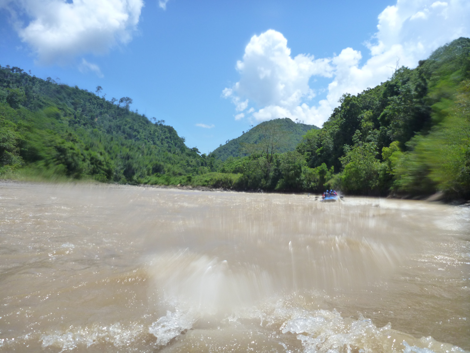
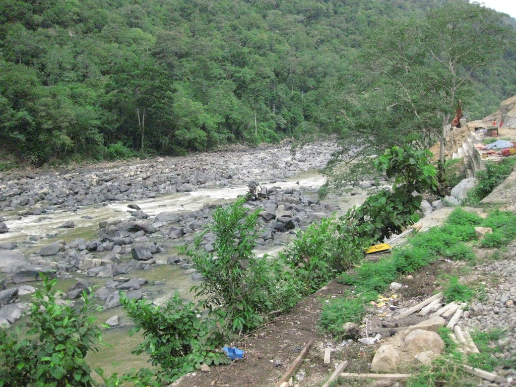
Padas 33
Padas 43
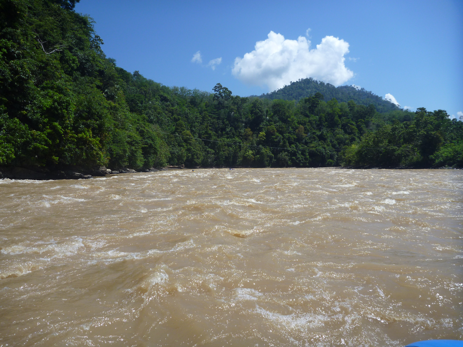
Padas 15
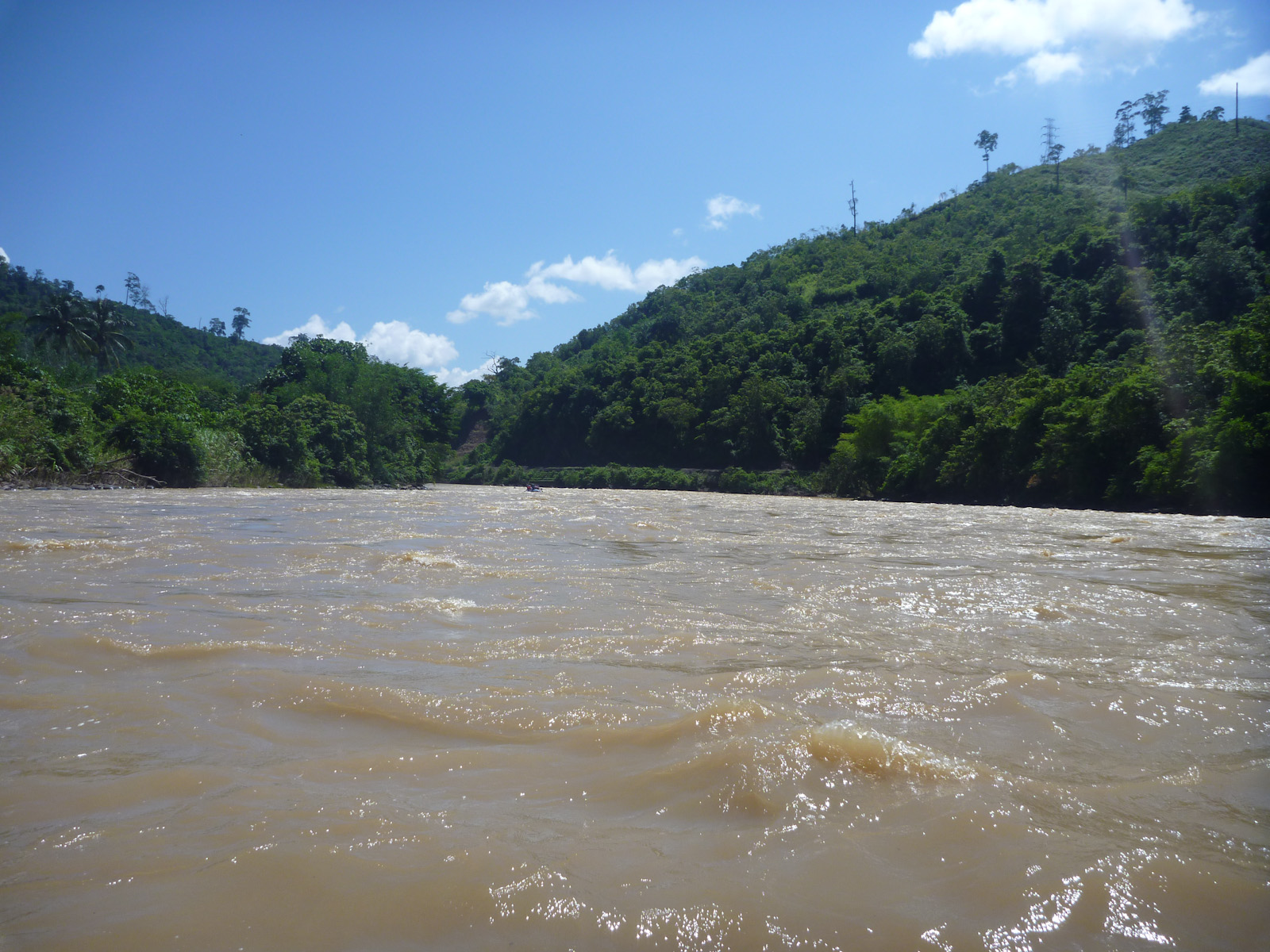
Padas 16

Padas 04
Beaufort - Tenom train ride

Padas 35
Topographic Map of Jalan Bukit Bendira, Tenom, Sabah, Malaysia
Find elevation by address:

Places near Jalan Bukit Bendira, Tenom, Sabah, Malaysia:
Recent Searches:
- Elevation of Corso Fratelli Cairoli, 35, Macerata MC, Italy
- Elevation of Tallevast Rd, Sarasota, FL, USA
- Elevation of 4th St E, Sonoma, CA, USA
- Elevation of Black Hollow Rd, Pennsdale, PA, USA
- Elevation of Oakland Ave, Williamsport, PA, USA
- Elevation of Pedrógão Grande, Portugal
- Elevation of Klee Dr, Martinsburg, WV, USA
- Elevation of Via Roma, Pieranica CR, Italy
- Elevation of Tavkvetili Mountain, Georgia
- Elevation of Hartfords Bluff Cir, Mt Pleasant, SC, USA