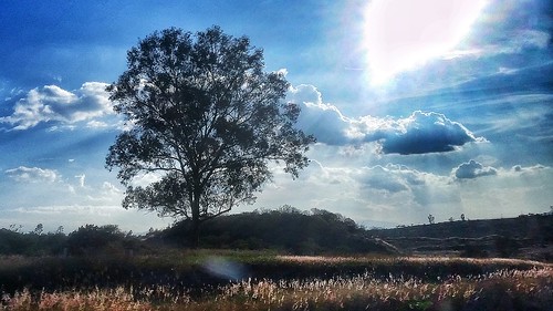
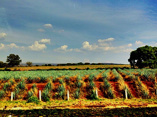
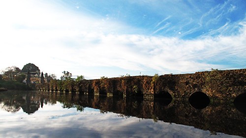
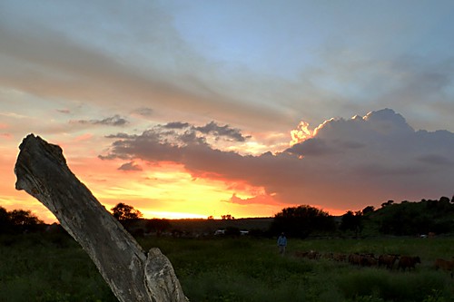
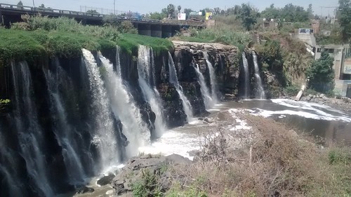
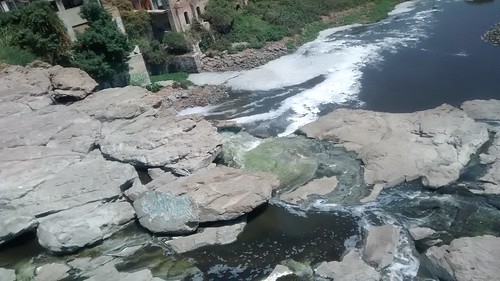
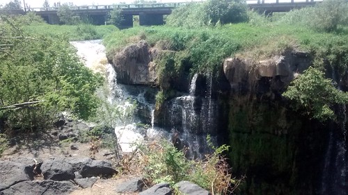
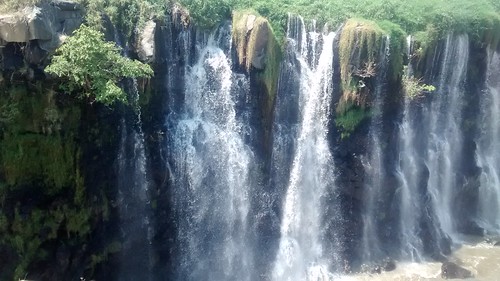
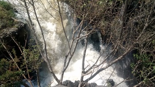
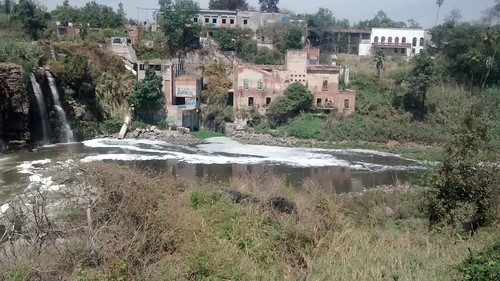
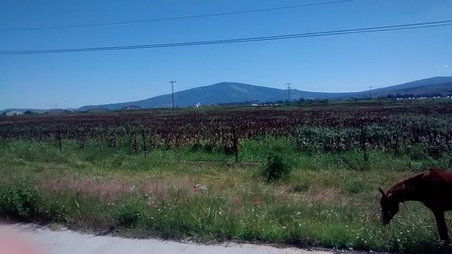
Elevation of JAL 39, El Salitre, Jal., Mexico
Location: Mexico > Jalisco > Zapotlanejo >
Longitude: -103.09928
Latitude: 20.5513248
Elevation: 1480m / 4856feet
Barometric Pressure: 85KPa
Related Photos:
Topographic Map of JAL 39, El Salitre, Jal., Mexico
Find elevation by address:

Places near JAL 39, El Salitre, Jal., Mexico:
La Mezquitera
JAL , La Laja, Jal., Mexico
Zapotlanejo
El Salto
El Salto
Los Altos De Jalisco
La Noria
Zoltek Mexico - Toray Group
Tonalá
Juárez 79, Atotonilquillo, Jal., Mexico
México 35, Jalisco, Mexico
Tonalá
El Quince
López Cotilla 15, San José del Quince, El Quince, Jal., Mexico
San José Del Quince
Miguel Hidalgo Y Costilla International Airport
San Pedro Tlaquepaque
Tlaquepaque
Trejos
Chapala
Recent Searches:
- Elevation of Corso Fratelli Cairoli, 35, Macerata MC, Italy
- Elevation of Tallevast Rd, Sarasota, FL, USA
- Elevation of 4th St E, Sonoma, CA, USA
- Elevation of Black Hollow Rd, Pennsdale, PA, USA
- Elevation of Oakland Ave, Williamsport, PA, USA
- Elevation of Pedrógão Grande, Portugal
- Elevation of Klee Dr, Martinsburg, WV, USA
- Elevation of Via Roma, Pieranica CR, Italy
- Elevation of Tavkvetili Mountain, Georgia
- Elevation of Hartfords Bluff Cir, Mt Pleasant, SC, USA

