Elevation of Jacki Dr, Lone Tree, IA, USA
Location: United States > Iowa > Johnson County > Fremont > Lone Tree >
Longitude: -91.432238
Latitude: 41.4942108
Elevation: 212m / 696feet
Barometric Pressure: 99KPa
Elevation Map:
Satellite Map:
Related Photos:

Fire Rainbow
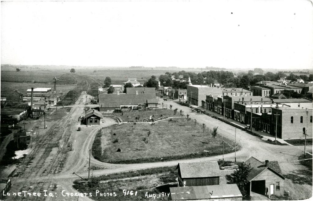
Cities - Lone Tree, Iowa
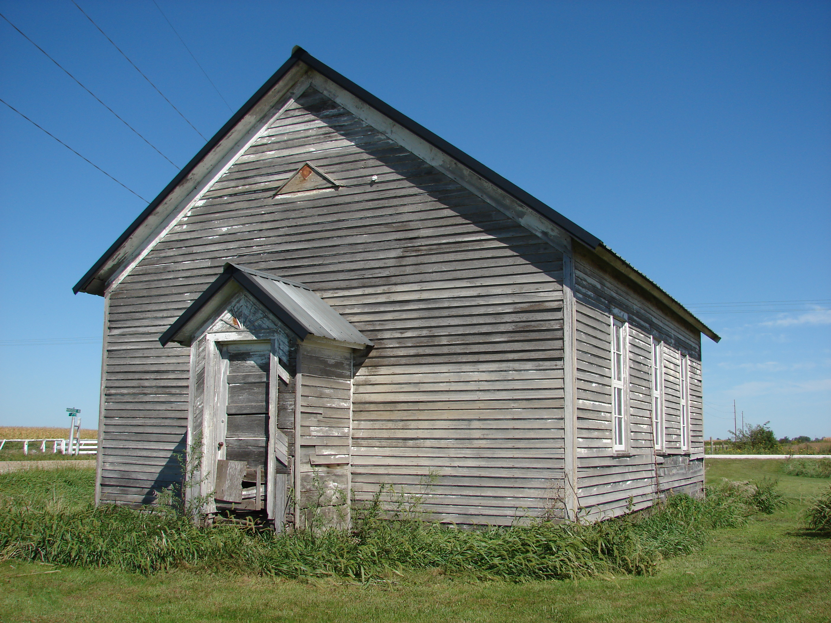
Fairview School

Future birthplace

I mean it! Shop or I'll shoot!
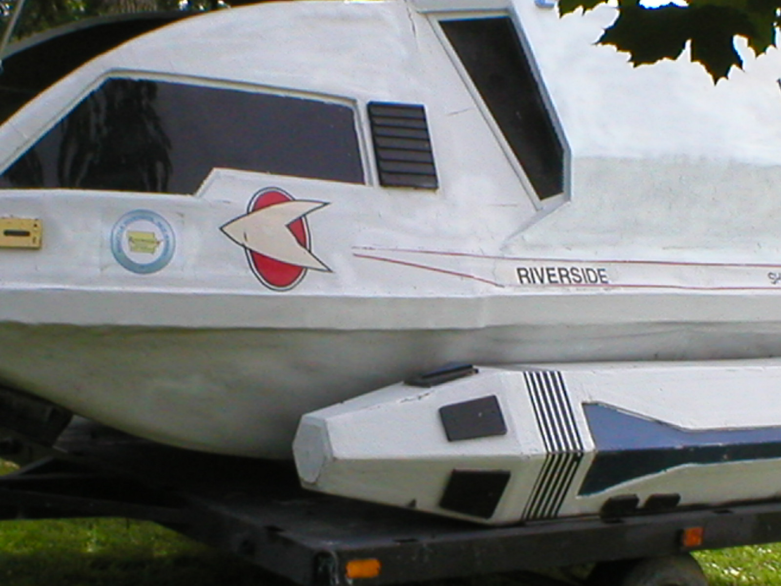
USS Riverside shuttle
200908301321-P1040371
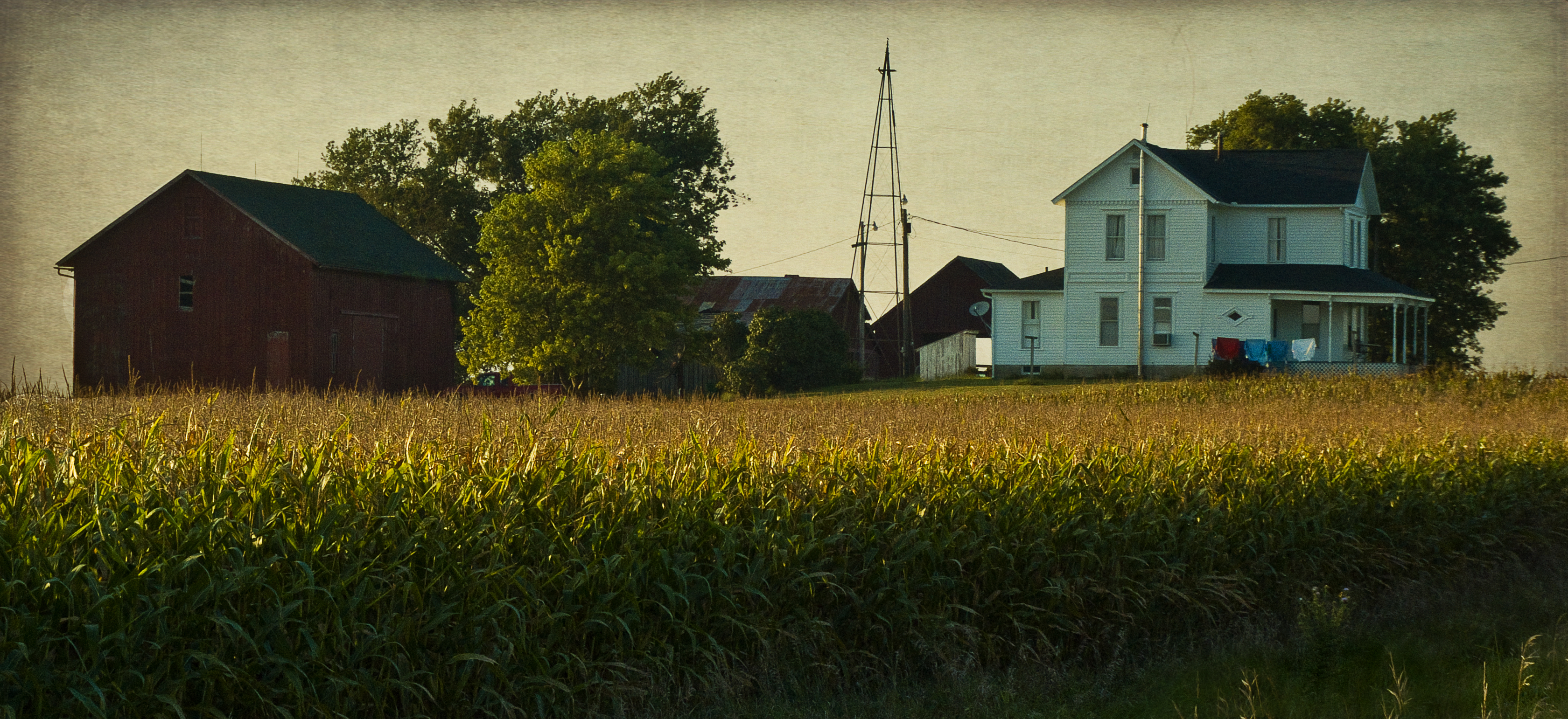
Wash Day on the Farm
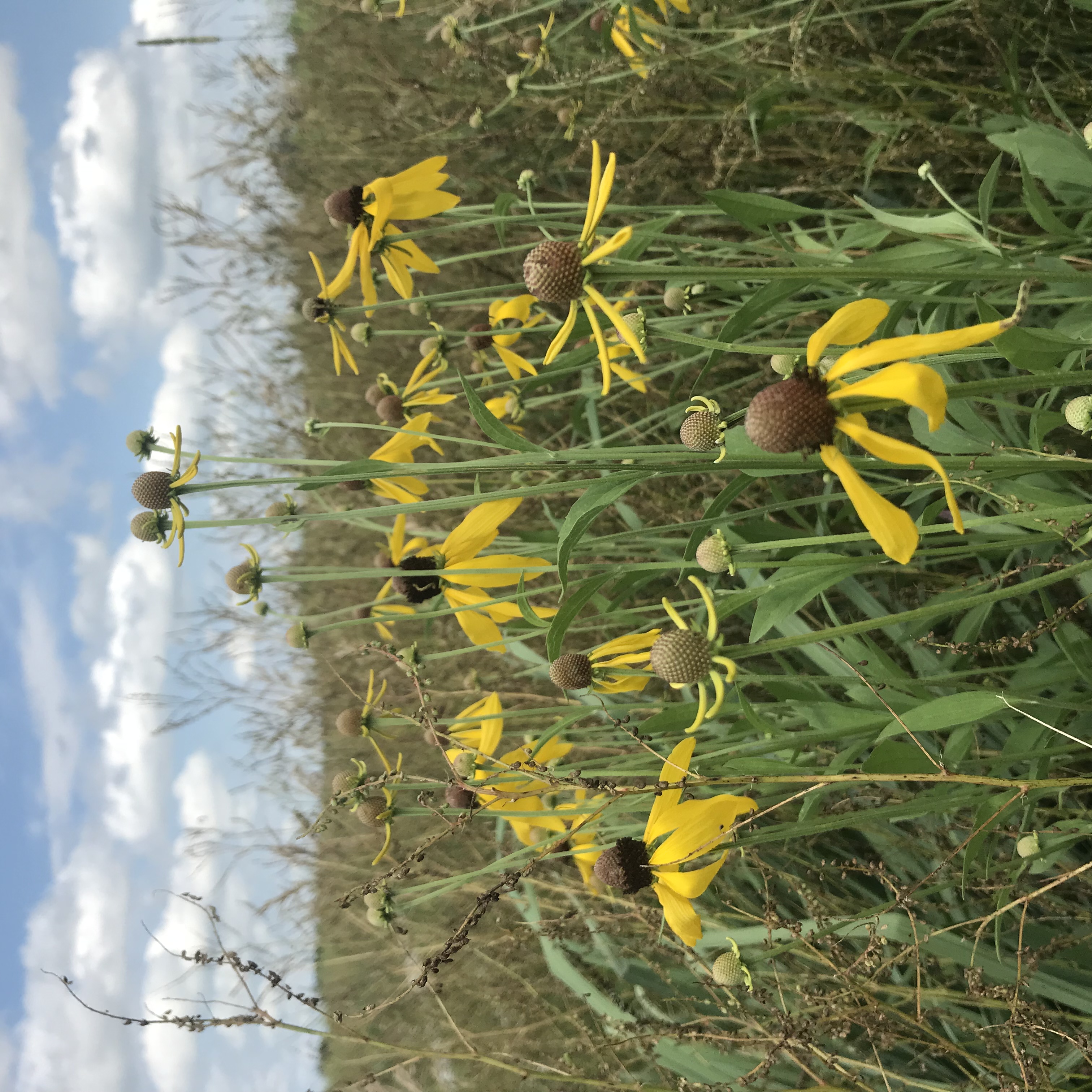
7-1 yellow field
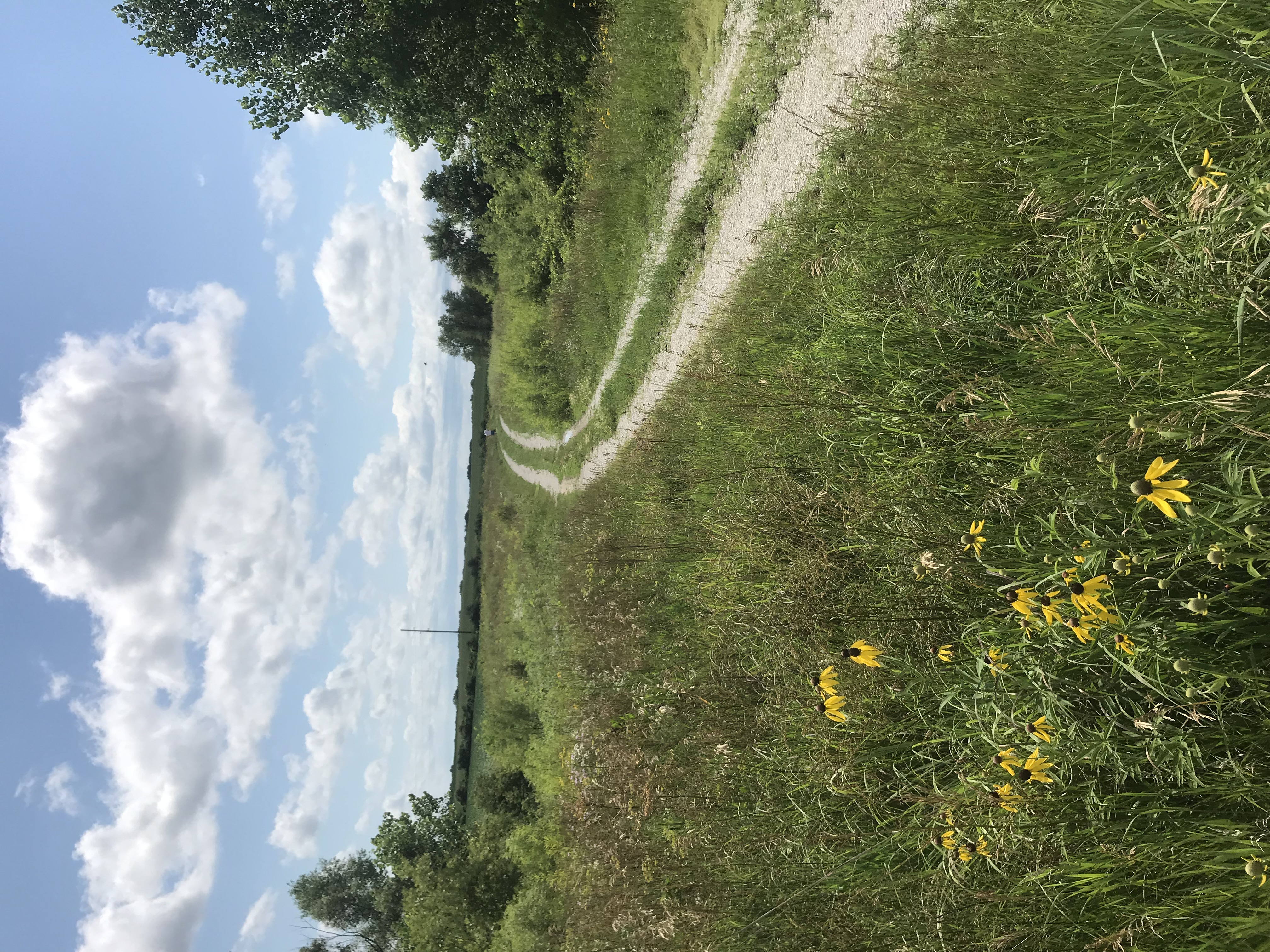
7-1 path
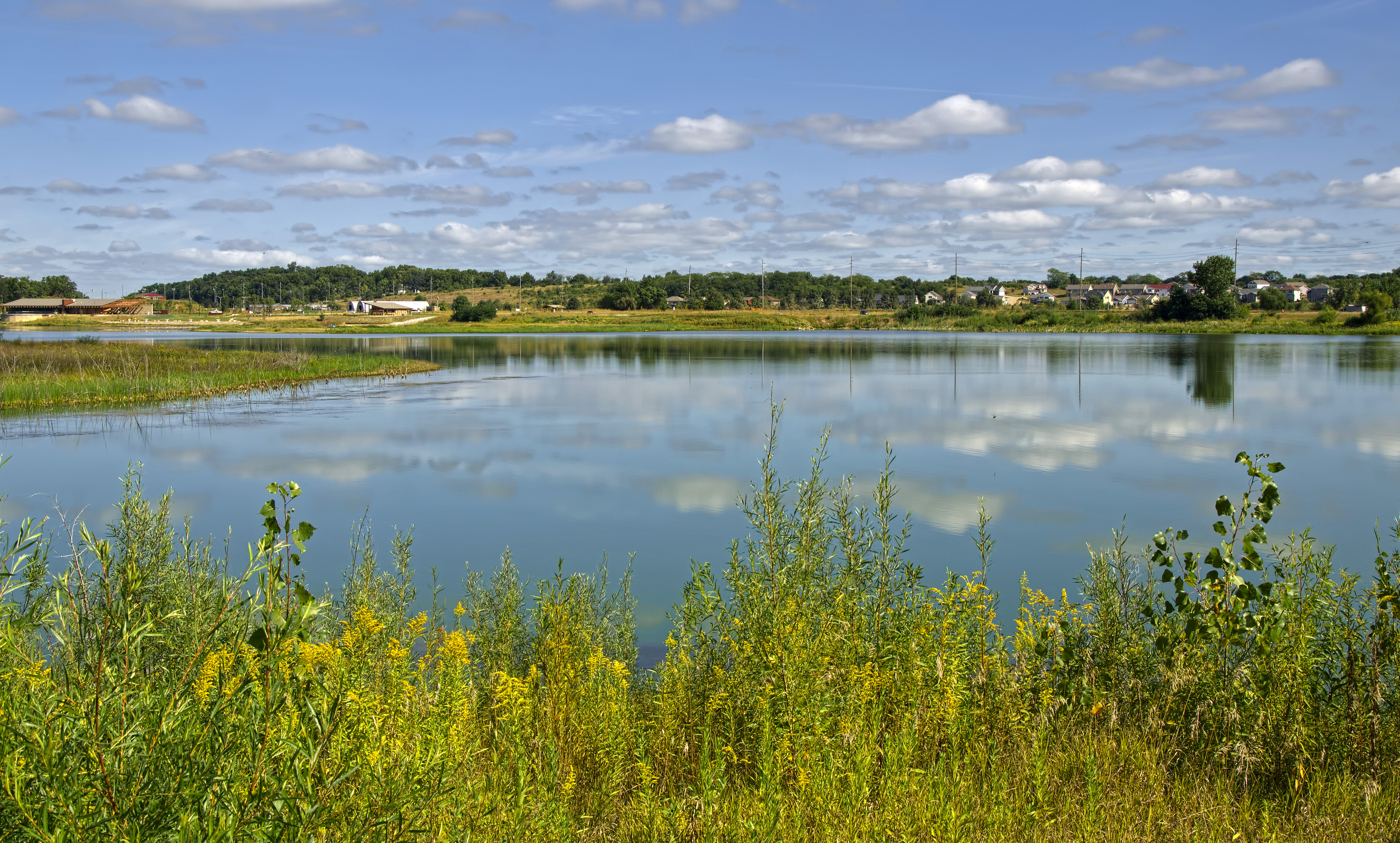
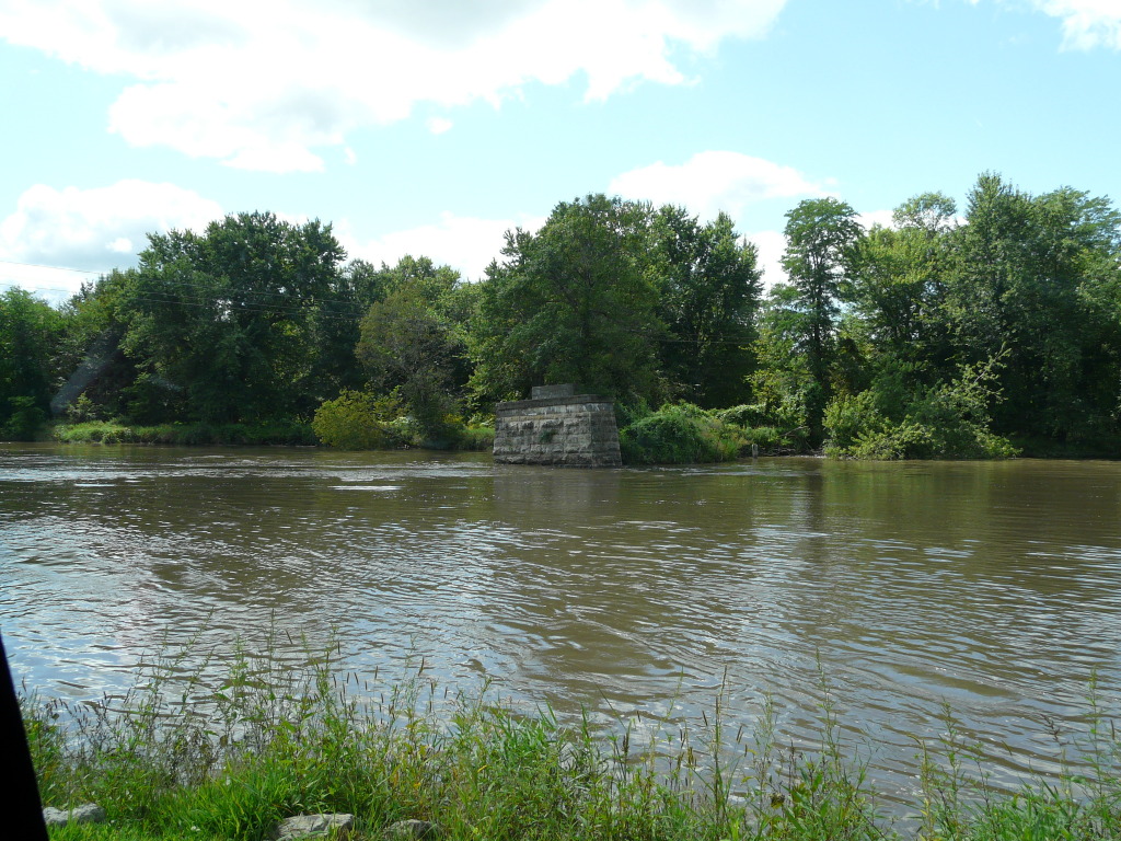
at Terry Trueblood Recreation Area

7-1 path
i call you barney
A Long Road
corn fields

7-20 cornfields and road
IC Weeds

9-22 blowing
Topographic Map of Jacki Dr, Lone Tree, IA, USA
Find elevation by address:

Places near Jacki Dr, Lone Tree, IA, USA:
Lone Tree
N Devoe St, Lone Tree, IA, USA
th St, Riverside, IA, USA
401 Iowa St
Hills
Iowa City, IA, USA
The Overlook
US-6, Iowa City, IA, USA
Wood
Twain
Legacy Retirement Community
629 Fairway Ln Se
Lemme
4382 Woodbine Cir Sw
West Lucas
431 Rundell St
Ui Quickcare – Old Capitol Town Center
100 S Clinton St
Woodside Drive
117 Highland Dr
Recent Searches:
- Elevation of Corso Fratelli Cairoli, 35, Macerata MC, Italy
- Elevation of Tallevast Rd, Sarasota, FL, USA
- Elevation of 4th St E, Sonoma, CA, USA
- Elevation of Black Hollow Rd, Pennsdale, PA, USA
- Elevation of Oakland Ave, Williamsport, PA, USA
- Elevation of Pedrógão Grande, Portugal
- Elevation of Klee Dr, Martinsburg, WV, USA
- Elevation of Via Roma, Pieranica CR, Italy
- Elevation of Tavkvetili Mountain, Georgia
- Elevation of Hartfords Bluff Cir, Mt Pleasant, SC, USA