Elevation of Jack, AL, USA
Location: United States > Alabama > Coffee County >
Longitude: -86.000336
Latitude: 31.5741373
Elevation: 120m / 394feet
Barometric Pressure: 100KPa
Elevation Map:
Satellite Map:
Related Photos:

Entering Coffee County (Coffee County, Alabama)
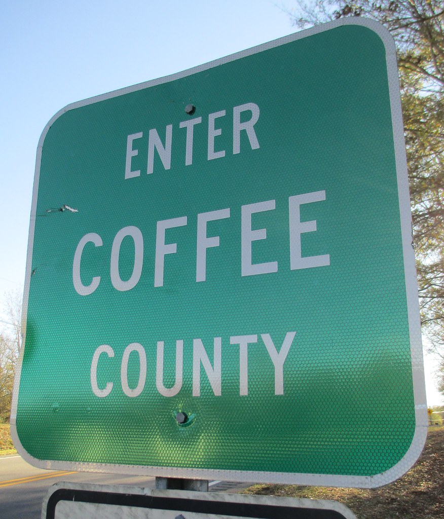
Enter Coffee County Sign (Coffee County, Alabama)
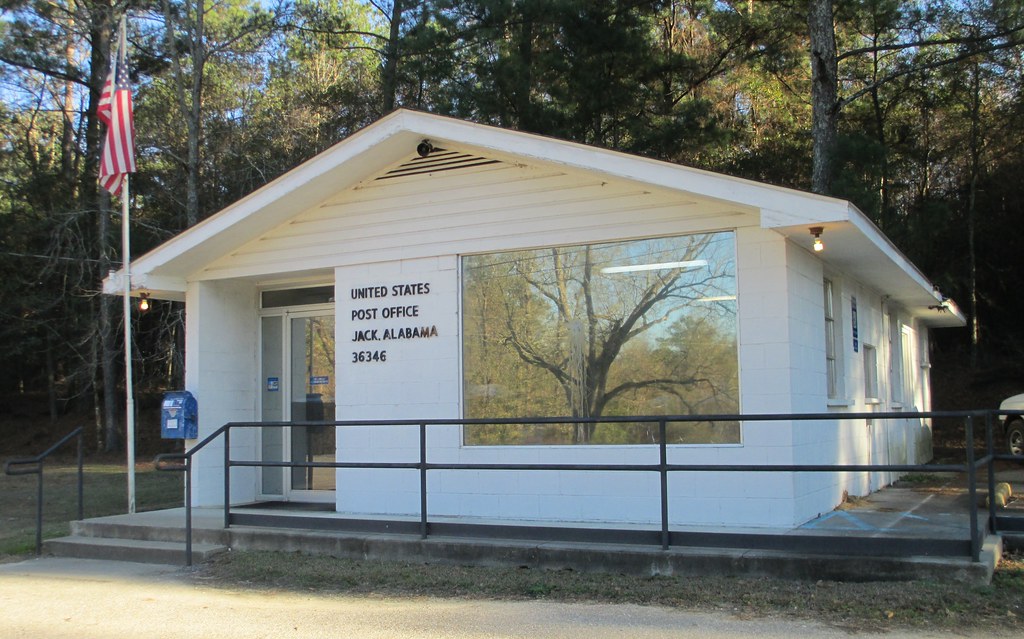
Post Office 36346 (Jack, Alabama)

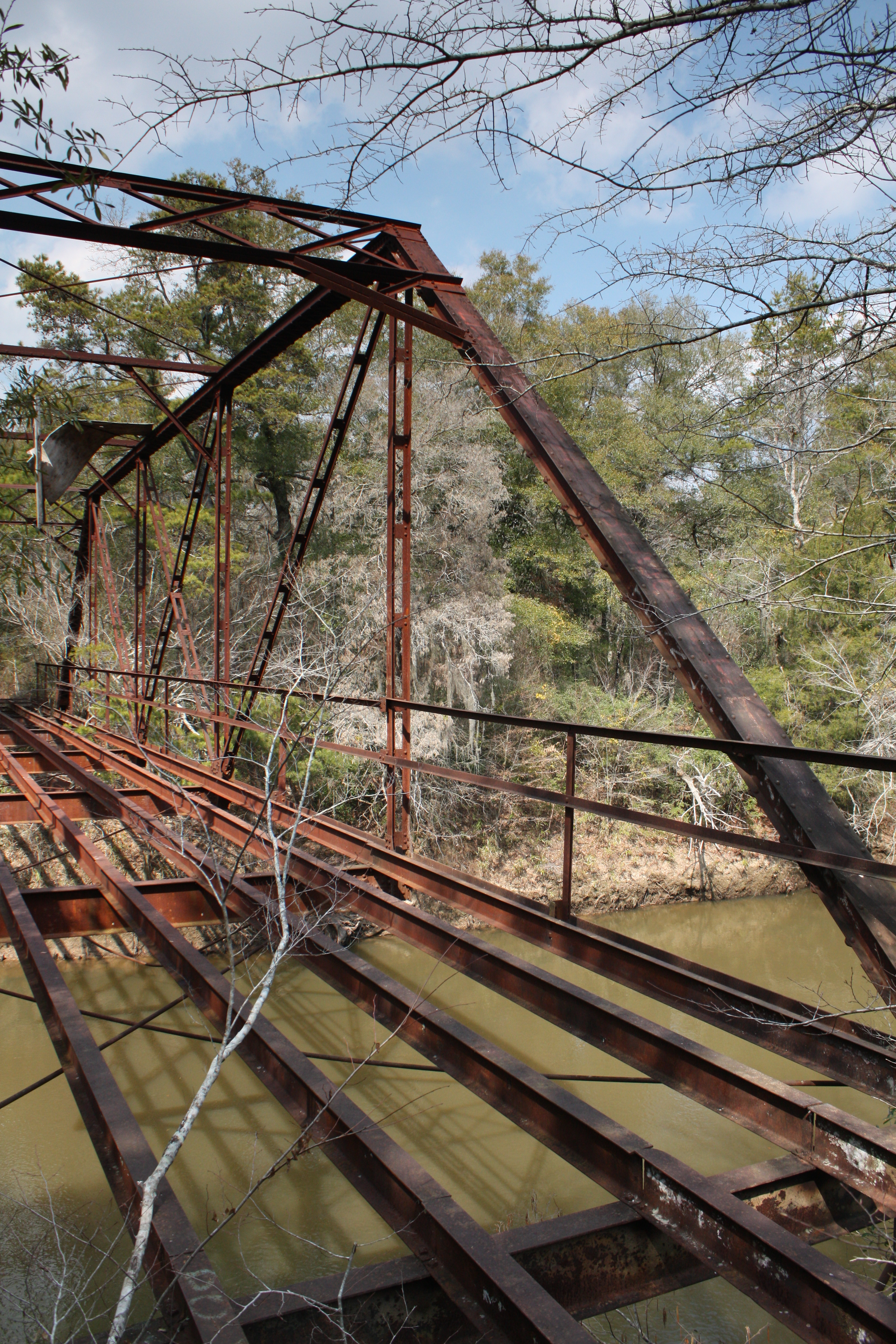
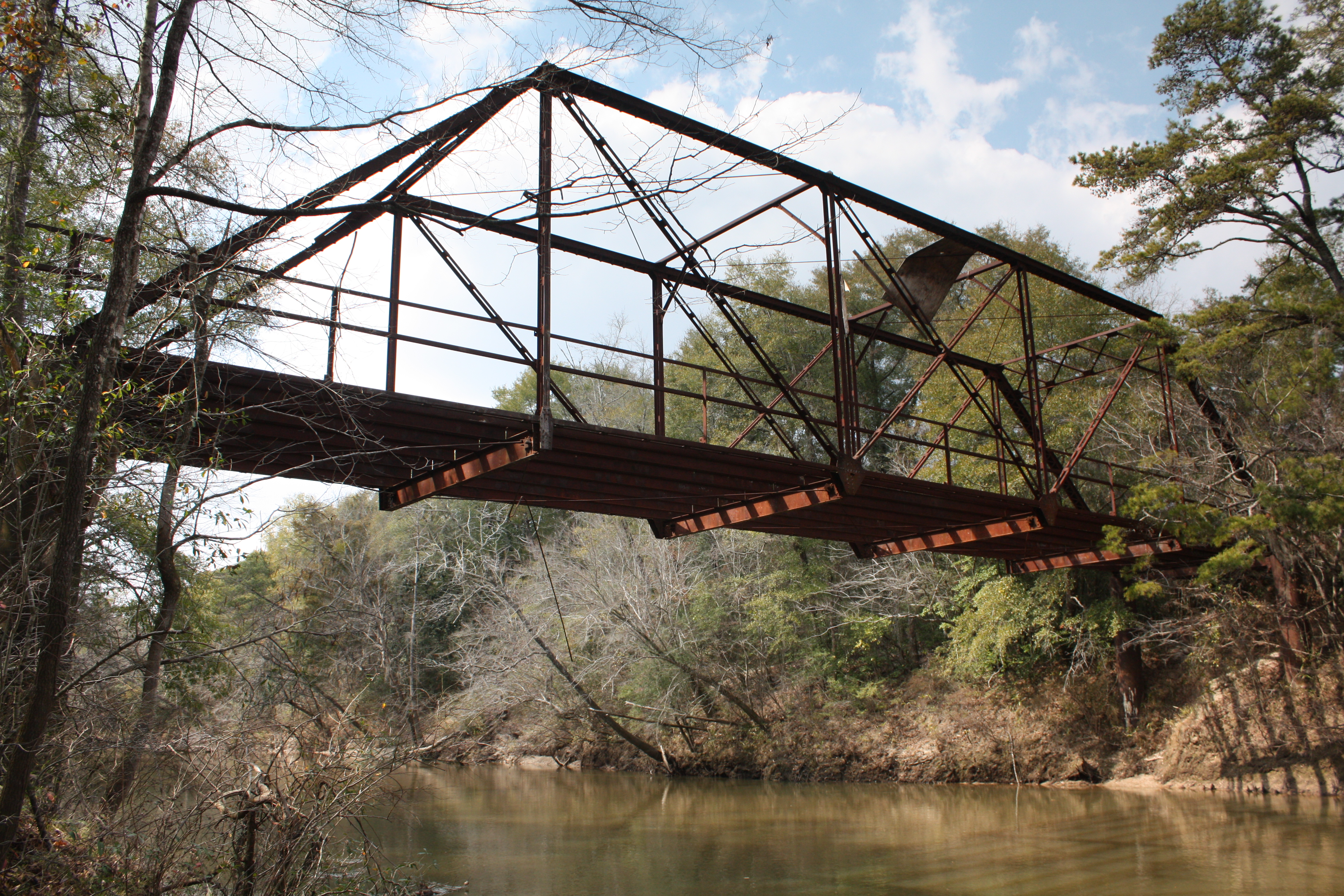
Coles Bridge
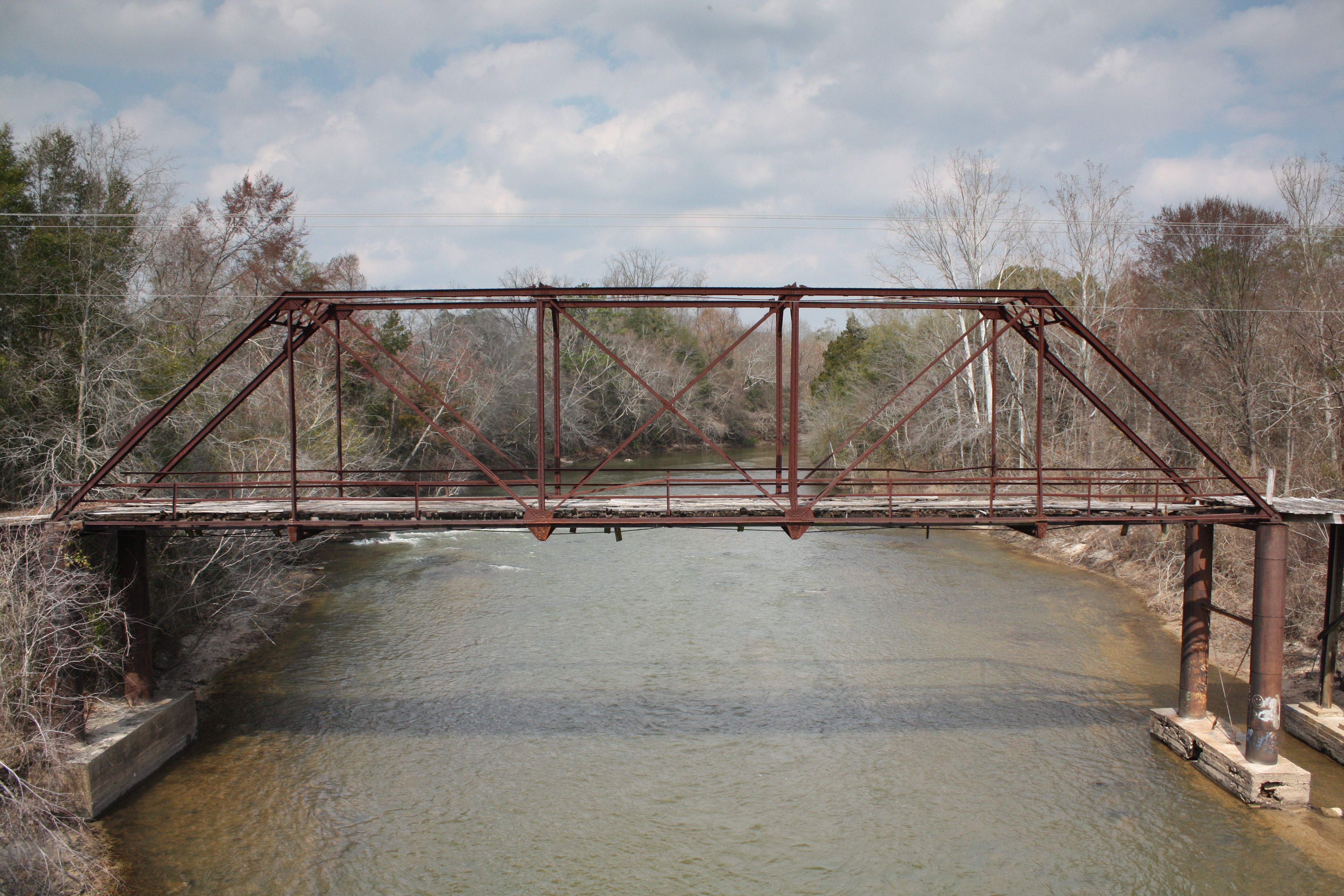
Coles Bridge
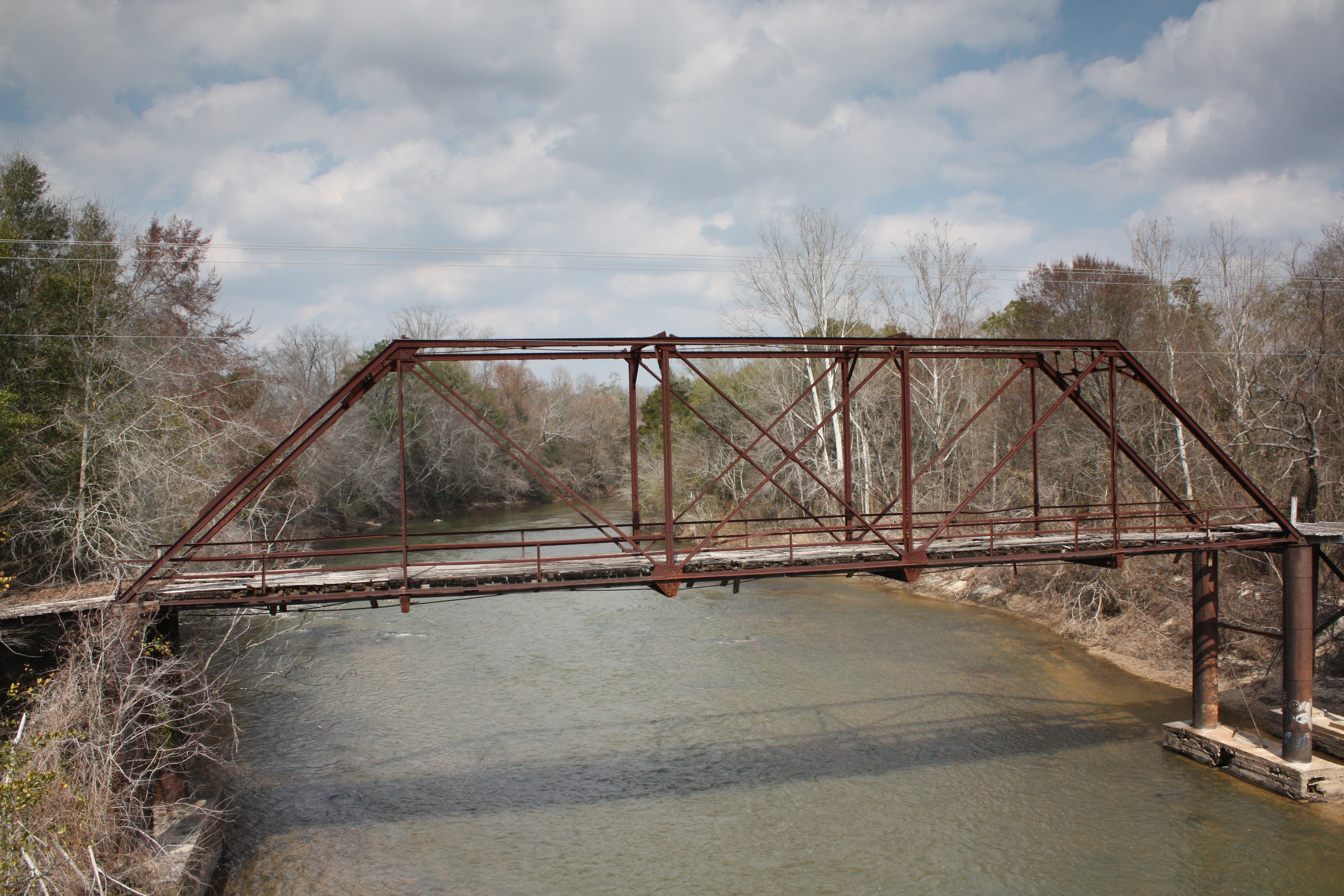
Coles Bridge
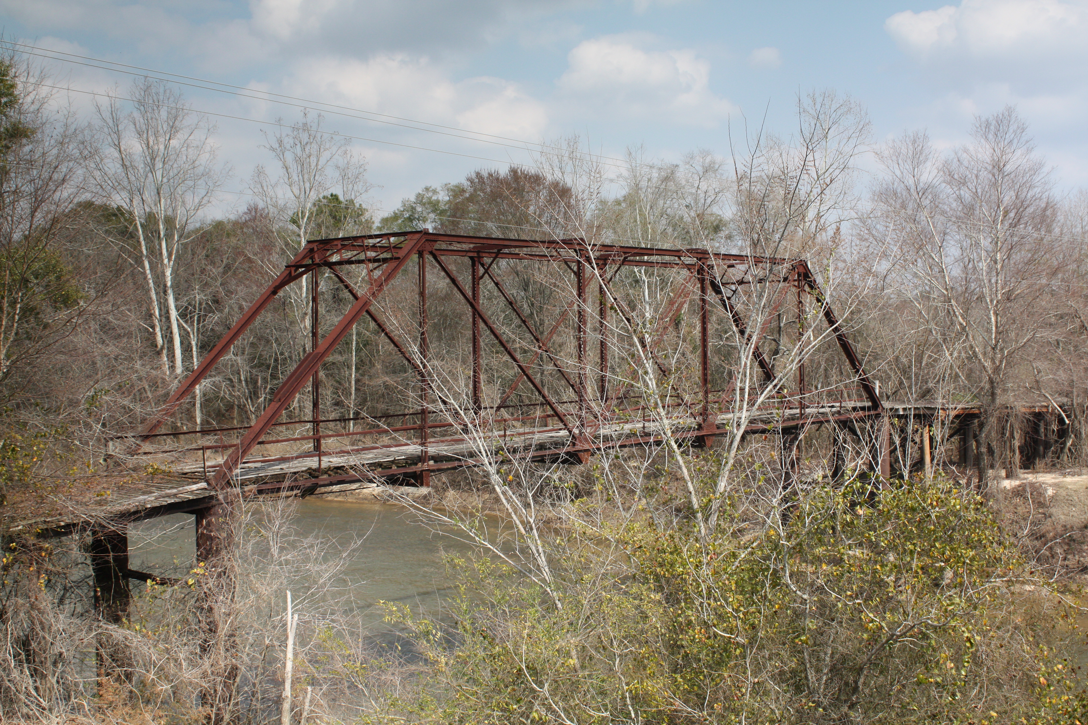
Coles Bridge
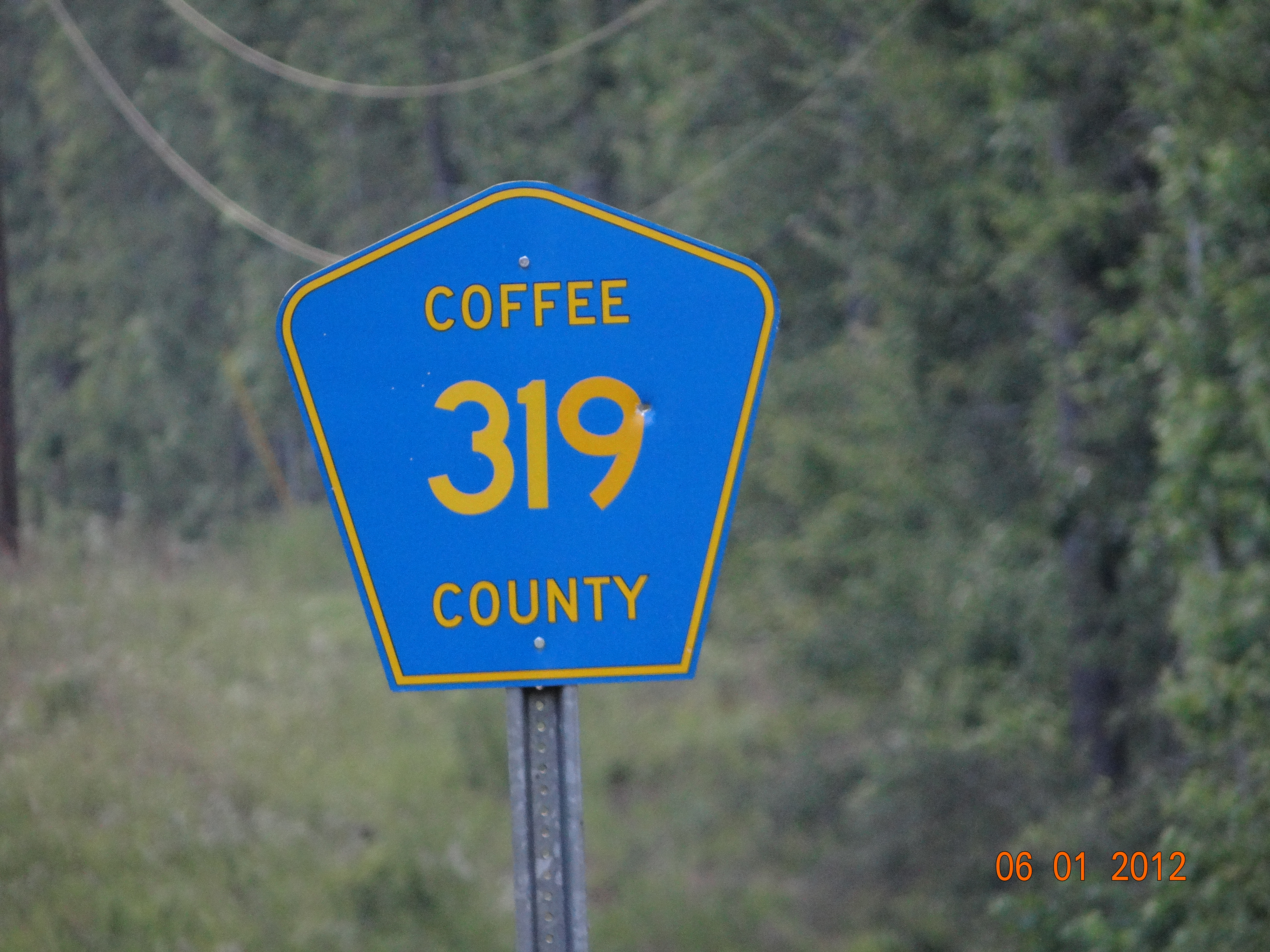
Co Rd 319-Coffee Co AL
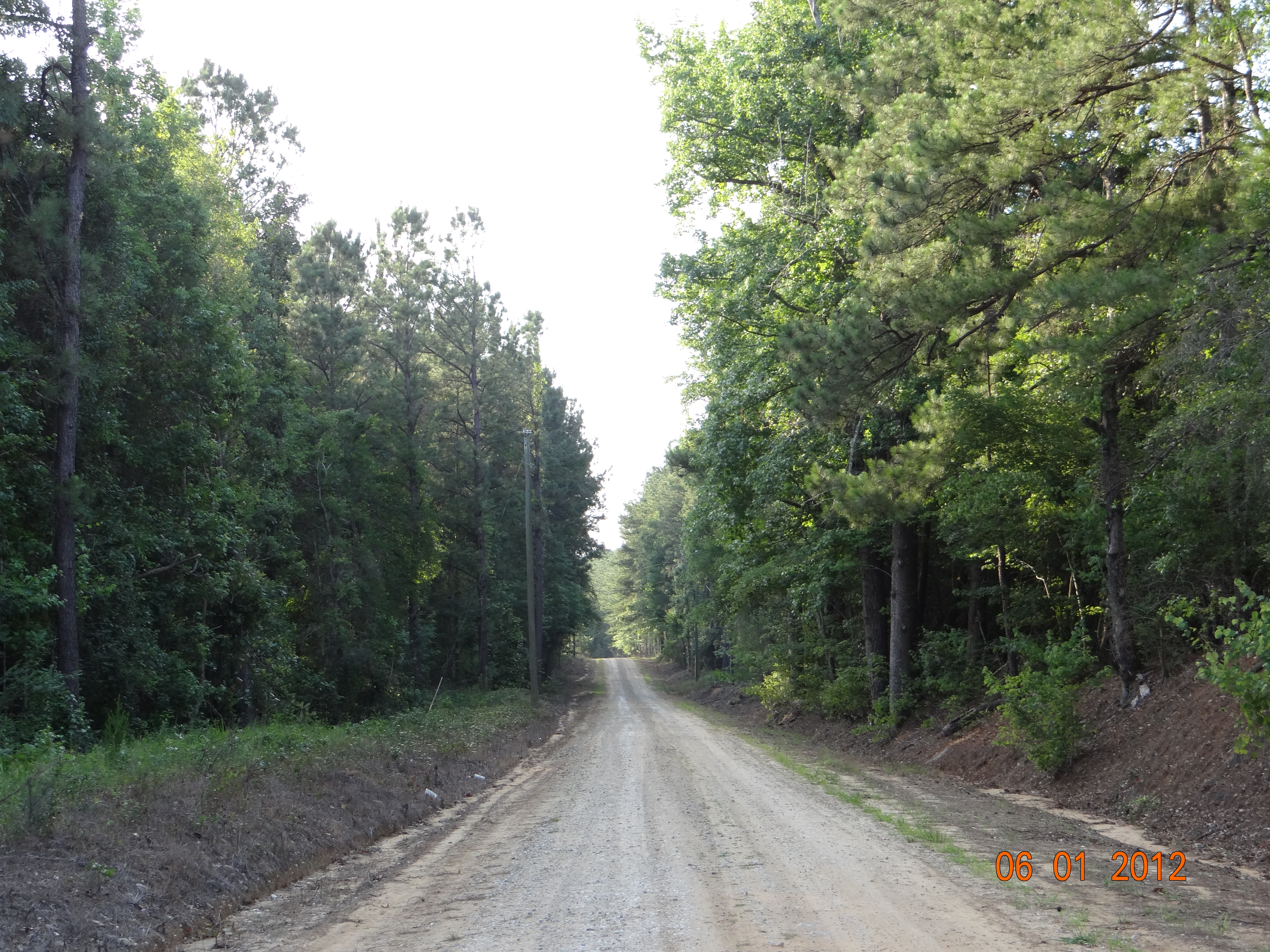
Dirt Road
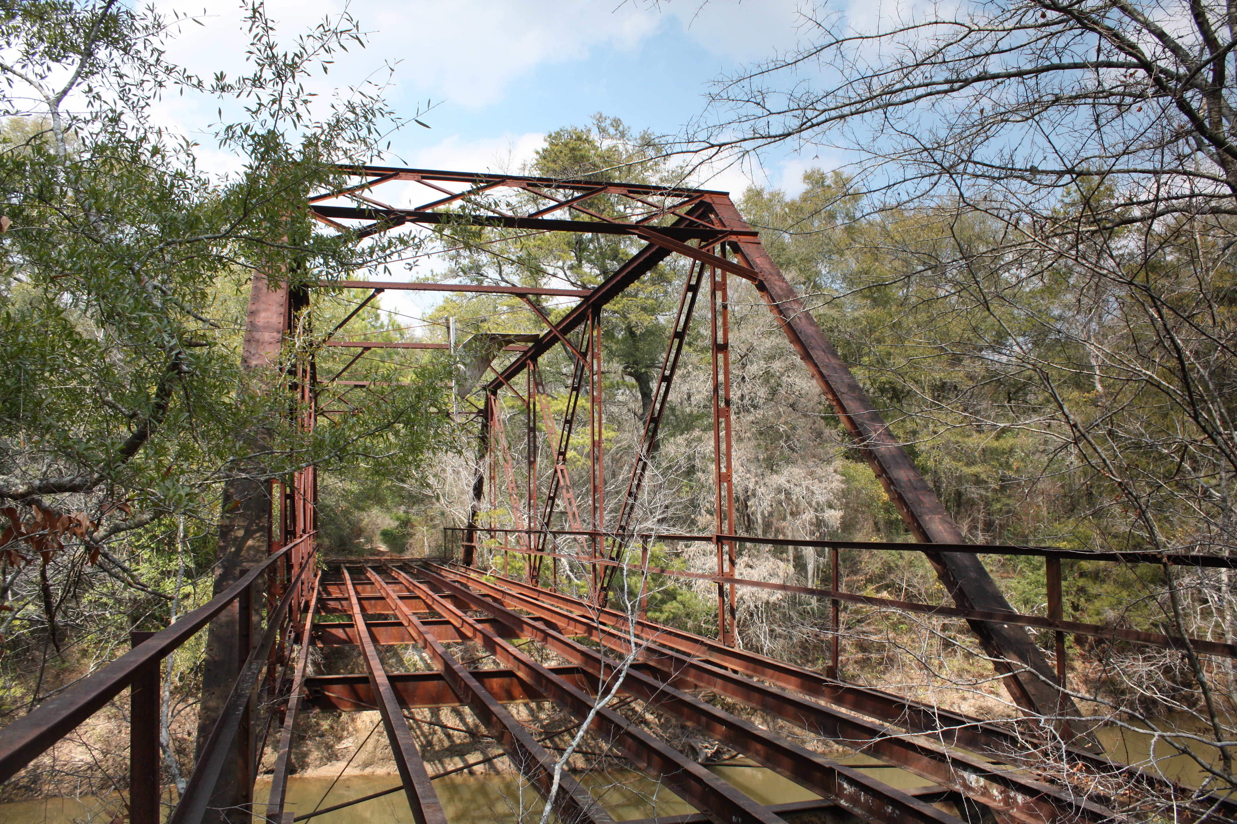
Roe Bridge
Roe Bridge
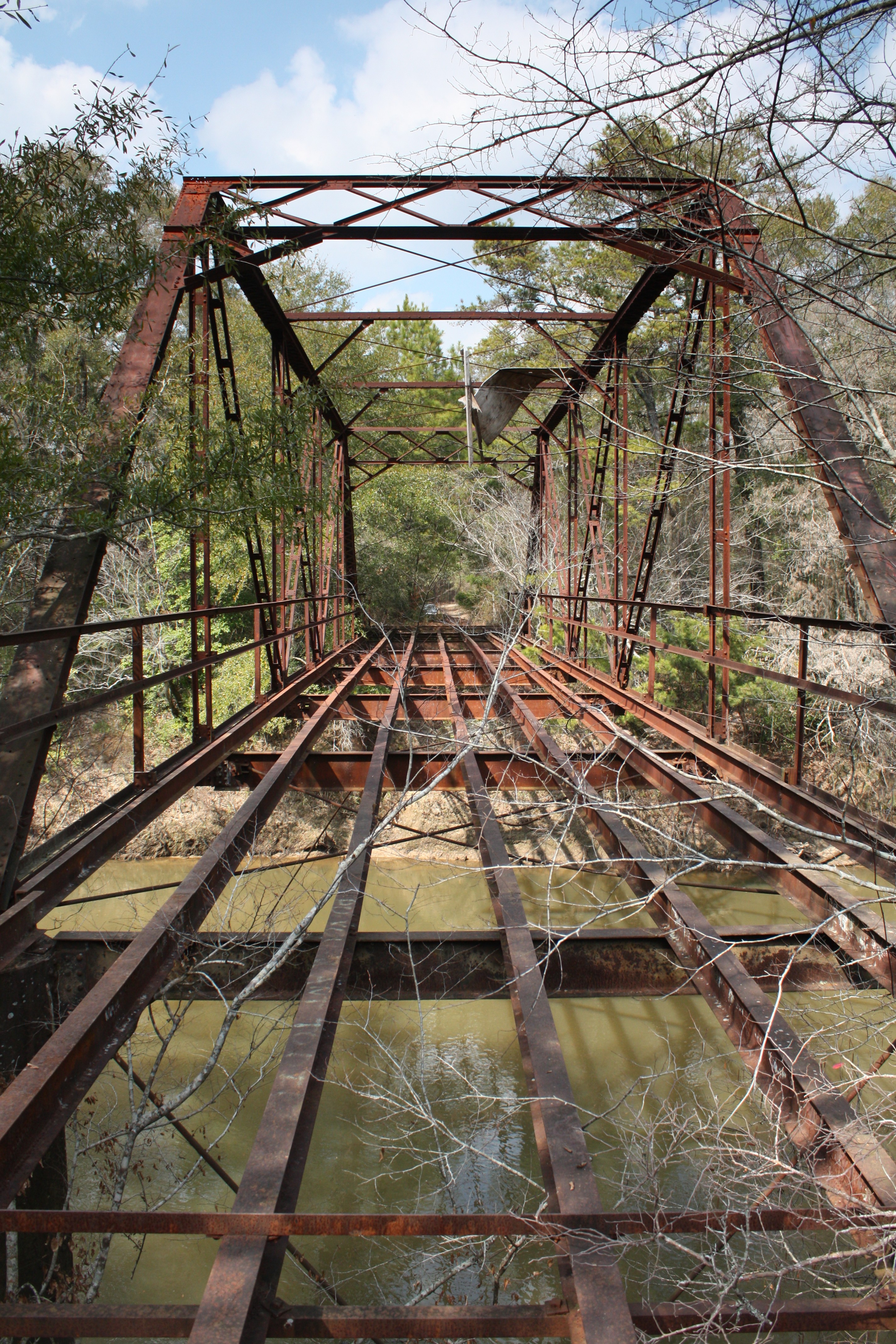
Roe Bridge
Roe Bridge
Topographic Map of Jack, AL, USA
Find elevation by address:

Places in Jack, AL, USA:
Places near Jack, AL, USA:
AL-87, Troy, AL, USA
1590 Co Rd 201
AL-87, Elba, AL, USA
Alabama 167
24532 Al-167
Coffee County
Co Rd 6, Troy, AL, USA
7740 Elba Hwy
AL-, Jack, AL, USA
4 Co Hwy 21, Goshen, AL, USA
Co Rd 6, Troy, AL, USA
Co Rd, Jack, AL, USA
Co Rd, Elba, AL, USA
19770 Al-189
Co Rd, Jack, AL, USA
Brunson Street
Elba
Co Rd, Elba, AL, USA
AL-51, New Brockton, AL, USA
7972 Al-51
Recent Searches:
- Elevation of Corso Fratelli Cairoli, 35, Macerata MC, Italy
- Elevation of Tallevast Rd, Sarasota, FL, USA
- Elevation of 4th St E, Sonoma, CA, USA
- Elevation of Black Hollow Rd, Pennsdale, PA, USA
- Elevation of Oakland Ave, Williamsport, PA, USA
- Elevation of Pedrógão Grande, Portugal
- Elevation of Klee Dr, Martinsburg, WV, USA
- Elevation of Via Roma, Pieranica CR, Italy
- Elevation of Tavkvetili Mountain, Georgia
- Elevation of Hartfords Bluff Cir, Mt Pleasant, SC, USA