Elevation of Izbat Al Asfar, Madinet Tameyah, Tameyah, Faiyum Governorate, Egypt
Location: Egypt > Faiyum Governorate > Tameyah > Madinet Tameyah >
Longitude: 30.9674504
Latitude: 29.5105549
Elevation: -2m / -7feet
Barometric Pressure: 101KPa
Elevation Map:
Satellite Map:
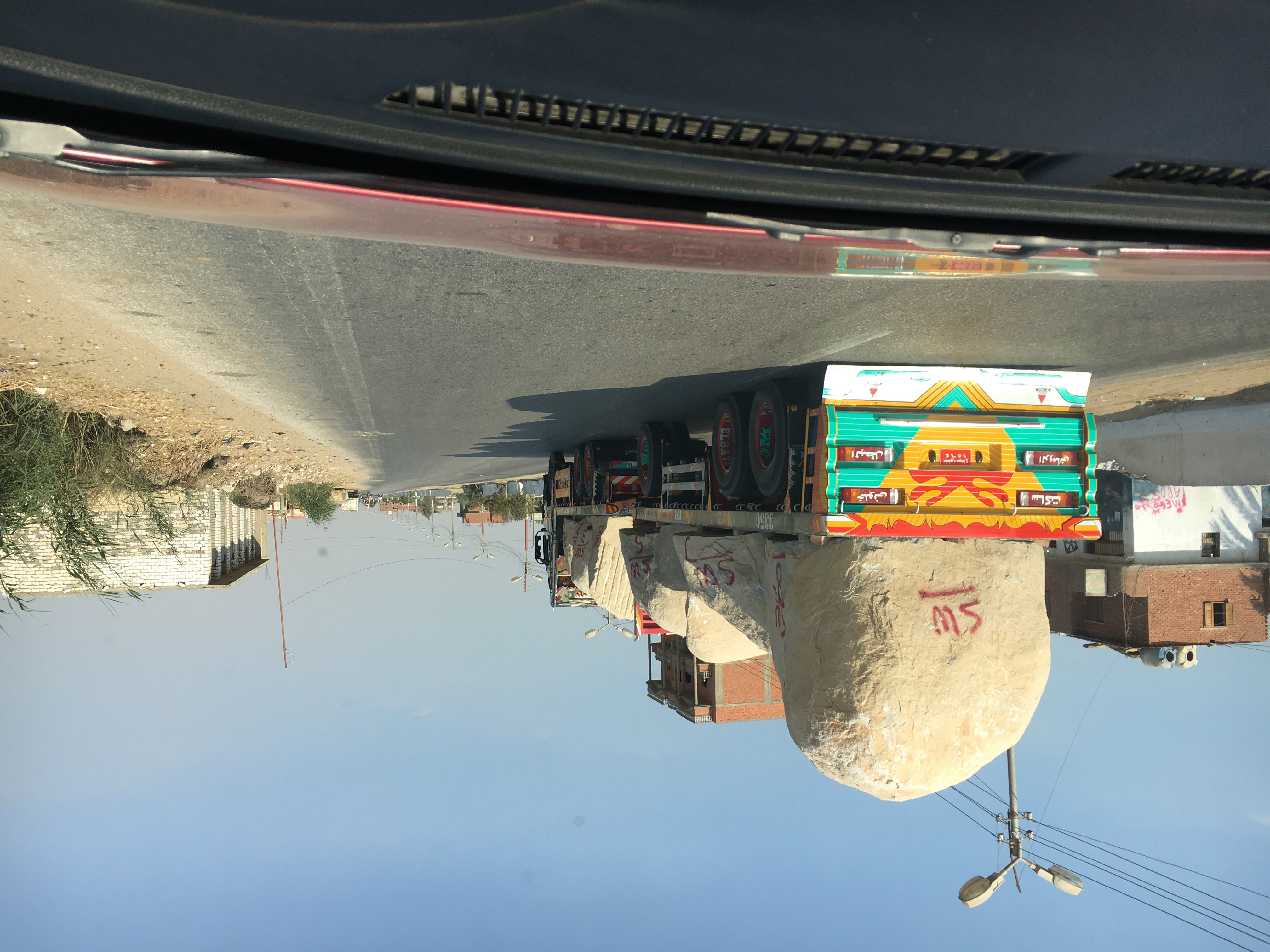
Related Photos:
Morning in Karanis
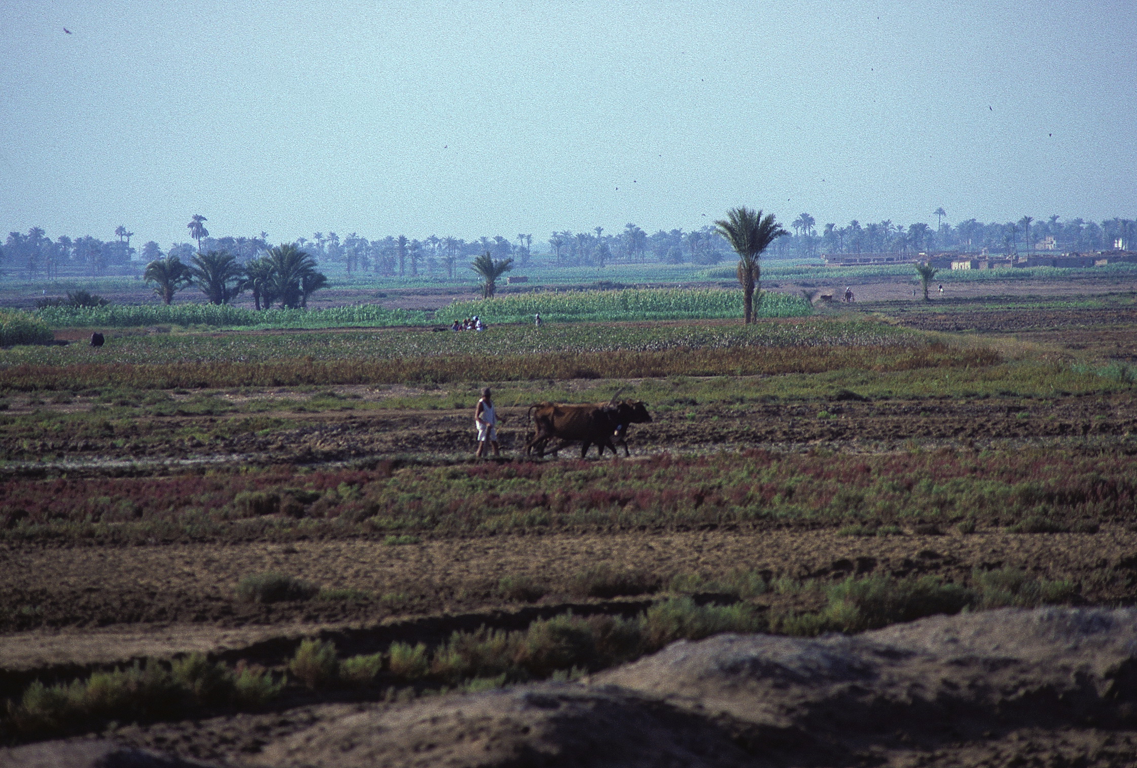
Al Faiyum
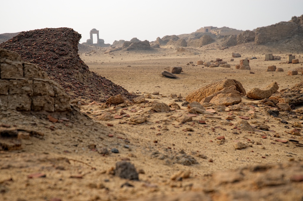
Strewn Across Karanis
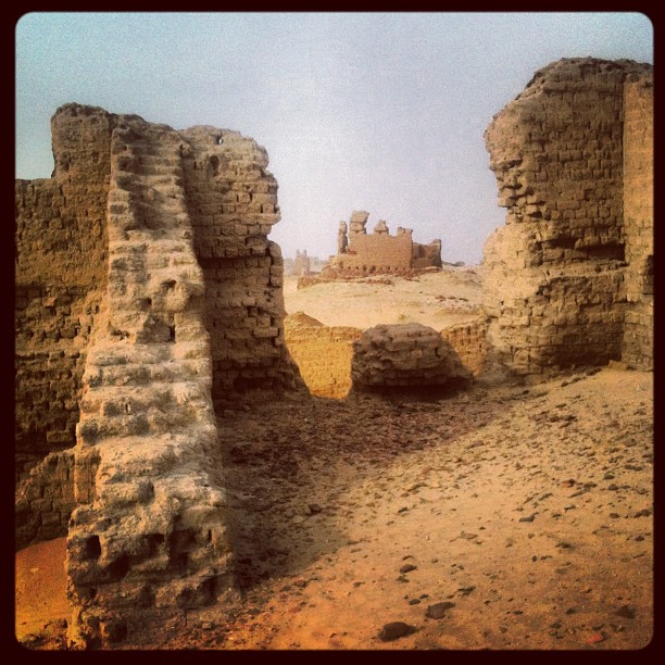
KAG Area Excavation
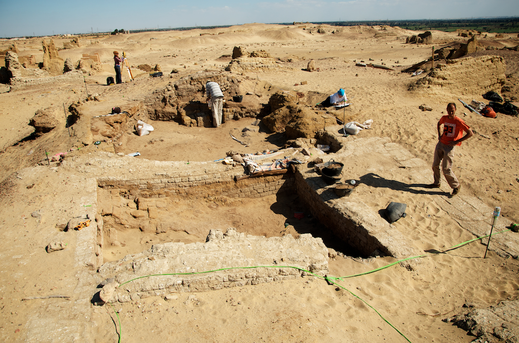
KAS Area Excavation
Miles to Go
KAS Area Excavation

Karanis - Grand temple
KAE Area Excavation

We are here

Just Finish My Work
2016 Teil 4

الفيوم؛ سنورس

KAS Area Excavation
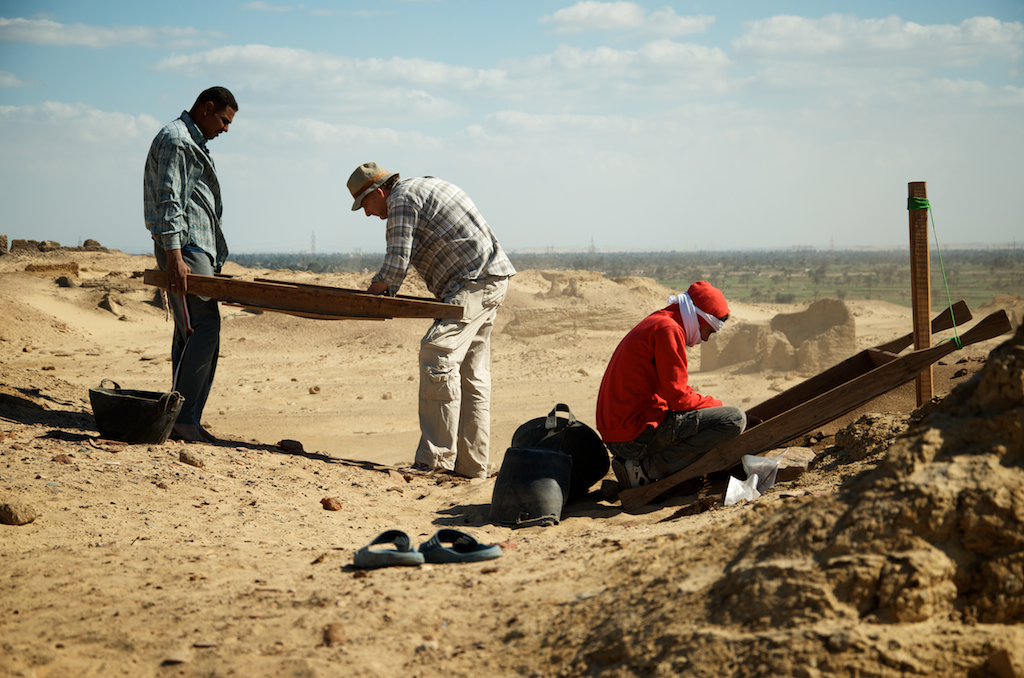
KAG Area Excavation

Omar Shash
2015-06-24_01-38-36

This is my son adam

Walaa,mina

Ceryle Rudis - Pied Kingfisher

Spread-Egret

Upupa Epops - Hoopoe

هرم ميدوم
Topographic Map of Izbat Al Asfar, Madinet Tameyah, Tameyah, Faiyum Governorate, Egypt
Find elevation by address:

Places near Izbat Al Asfar, Madinet Tameyah, Tameyah, Faiyum Governorate, Egypt:
Madinet Tameyah
Tameyah
Hawaret Adlan
Al Lahun
Bani Sweif
Qism Bani Sweif
Dawoud
Beni Suef
Ataqah
Suez Governorate
Recent Searches:
- Elevation of Corso Fratelli Cairoli, 35, Macerata MC, Italy
- Elevation of Tallevast Rd, Sarasota, FL, USA
- Elevation of 4th St E, Sonoma, CA, USA
- Elevation of Black Hollow Rd, Pennsdale, PA, USA
- Elevation of Oakland Ave, Williamsport, PA, USA
- Elevation of Pedrógão Grande, Portugal
- Elevation of Klee Dr, Martinsburg, WV, USA
- Elevation of Via Roma, Pieranica CR, Italy
- Elevation of Tavkvetili Mountain, Georgia
- Elevation of Hartfords Bluff Cir, Mt Pleasant, SC, USA