Elevation of Ixtapán, Ver., Mexico
Location: Mexico > Veracruz >
Longitude: -96.885870
Latitude: 19.7679922
Elevation: 1295m / 4249feet
Barometric Pressure: 87KPa
Elevation Map:
Satellite Map:
Related Photos:
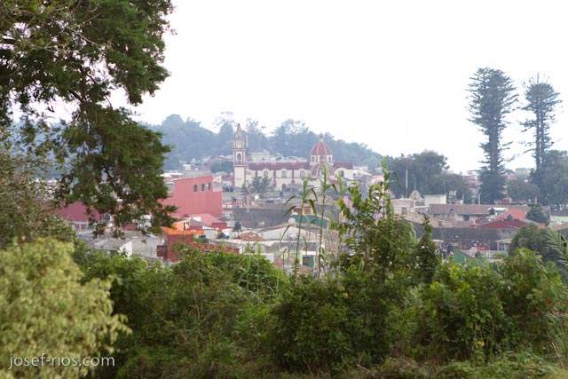
Naolinco View
Topographic Map of Ixtapán, Ver., Mexico
Find elevation by address:

Places near Ixtapán, Ver., Mexico:
Av Jorge Serdán 2, Tenochtitlan, Tenochtitlán, Ver., Mexico
Av Miguel Alemán 30, Tenochtitlan, Tenochtitlán, Ver., Mexico
Misantla
Misantla
Av Huasteca 65, Veracruz, Mexico
Villanueva
Manuel Avila Camacho 16, Villanueva, Ver., Mexico
El Pital
Cecilio González, El Pital, Ver., Mexico
Carr. Costera del Golfo 12, Palma Sola, Ver., Mexico
Carr. Costera del Golfo, Veracruz, Mexico
Alejandro Molina, Ricardo Flores Magón, Ver., Mexico
Tecolutla
Recent Searches:
- Elevation of Corso Fratelli Cairoli, 35, Macerata MC, Italy
- Elevation of Tallevast Rd, Sarasota, FL, USA
- Elevation of 4th St E, Sonoma, CA, USA
- Elevation of Black Hollow Rd, Pennsdale, PA, USA
- Elevation of Oakland Ave, Williamsport, PA, USA
- Elevation of Pedrógão Grande, Portugal
- Elevation of Klee Dr, Martinsburg, WV, USA
- Elevation of Via Roma, Pieranica CR, Italy
- Elevation of Tavkvetili Mountain, Georgia
- Elevation of Hartfords Bluff Cir, Mt Pleasant, SC, USA