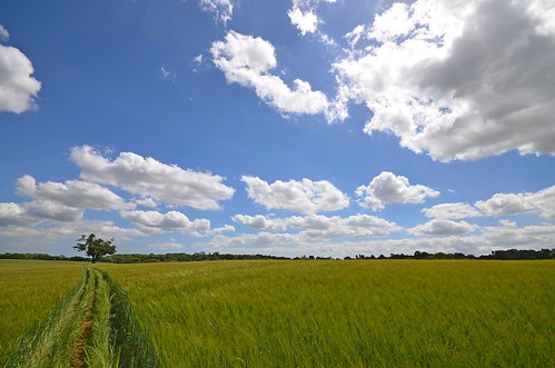
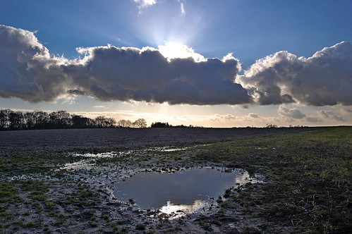
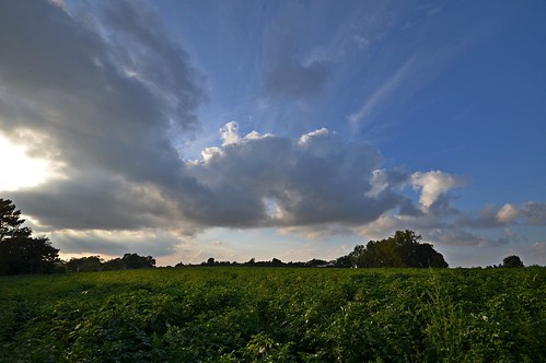
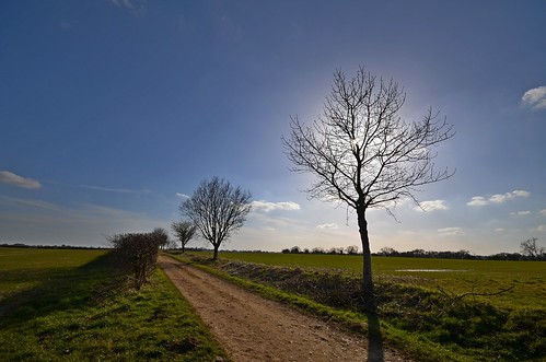
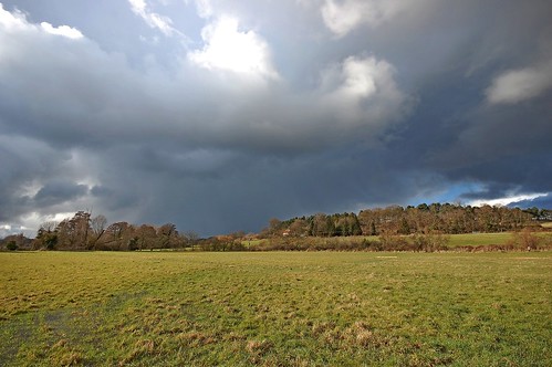
Elevation of Ivy Lodge, Bredfield, Woodbridge IP13 6AX, UK
Location: United Kingdom > Suffolk > Bredfield >
Longitude: 1.3139632
Latitude: 52.1290654
Elevation: 34m / 112feet
Barometric Pressure: 101KPa
Related Photos:
Topographic Map of Ivy Lodge, Bredfield, Woodbridge IP13 6AX, UK
Find elevation by address:

Places near Ivy Lodge, Bredfield, Woodbridge IP13 6AX, UK:
Bredfield
Boulge
Woodbridge
Ip12 4nd
Sutton Close
National Trust - Sutton Hoo
Kyson Hill
Martlesham
Cliff Road
Waldringfield
Sutton
Sutton Heath Children Centre
31 Otley Rd, Sutton, Woodbridge IP12 3TN, UK
23 Sutton St
Broxtead Estate
Ip3 9dq
Ip3
Ip4 4ba
Ipswich
Ip1 5by
Recent Searches:
- Elevation of Corso Fratelli Cairoli, 35, Macerata MC, Italy
- Elevation of Tallevast Rd, Sarasota, FL, USA
- Elevation of 4th St E, Sonoma, CA, USA
- Elevation of Black Hollow Rd, Pennsdale, PA, USA
- Elevation of Oakland Ave, Williamsport, PA, USA
- Elevation of Pedrógão Grande, Portugal
- Elevation of Klee Dr, Martinsburg, WV, USA
- Elevation of Via Roma, Pieranica CR, Italy
- Elevation of Tavkvetili Mountain, Georgia
- Elevation of Hartfords Bluff Cir, Mt Pleasant, SC, USA
