Elevation of Itajá - State of Rio Grande do Norte, Brazil
Location: Brazil > State Of Rio Grande Do Norte >
Longitude: -36.803492
Latitude: -5.7069759
Elevation: 71m / 233feet
Barometric Pressure: 100KPa
Elevation Map:
Satellite Map:
Related Photos:

Sylvia Galvao
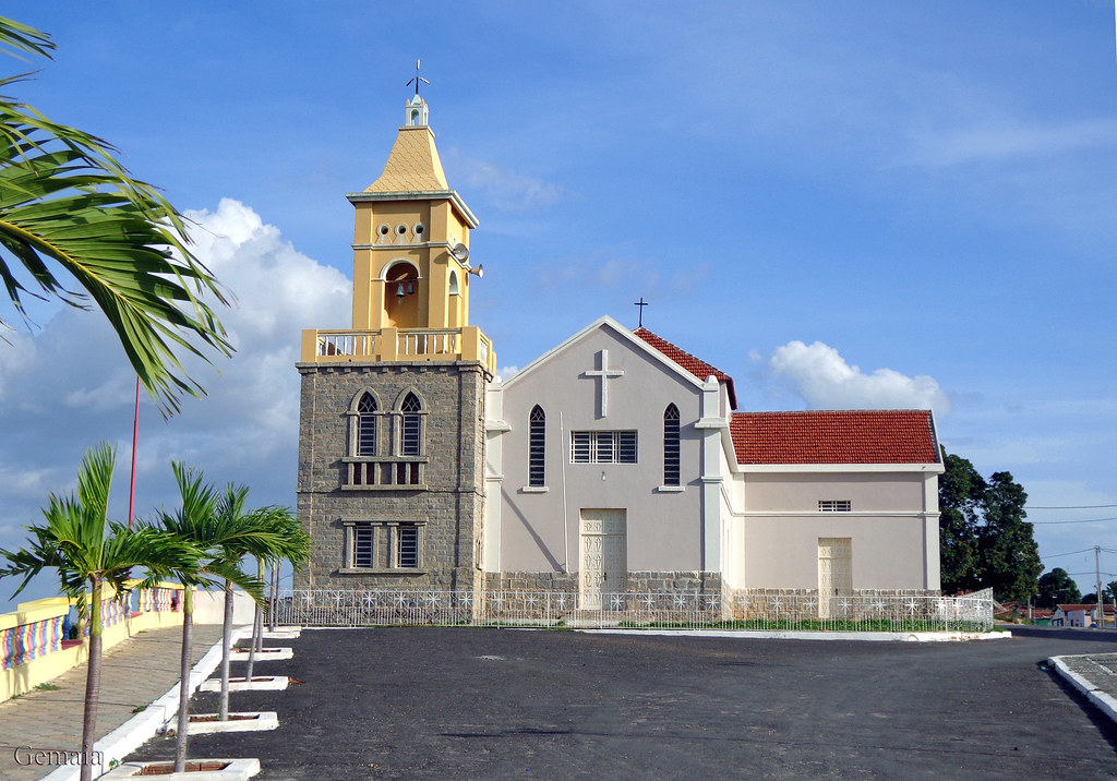
Igreja São Pedro (St. Peter Church) - Pataxó, Assu - RN

Traces of Blue Light #light #art #lightpainting #lighting #dark #instagood #picoftheday #dark
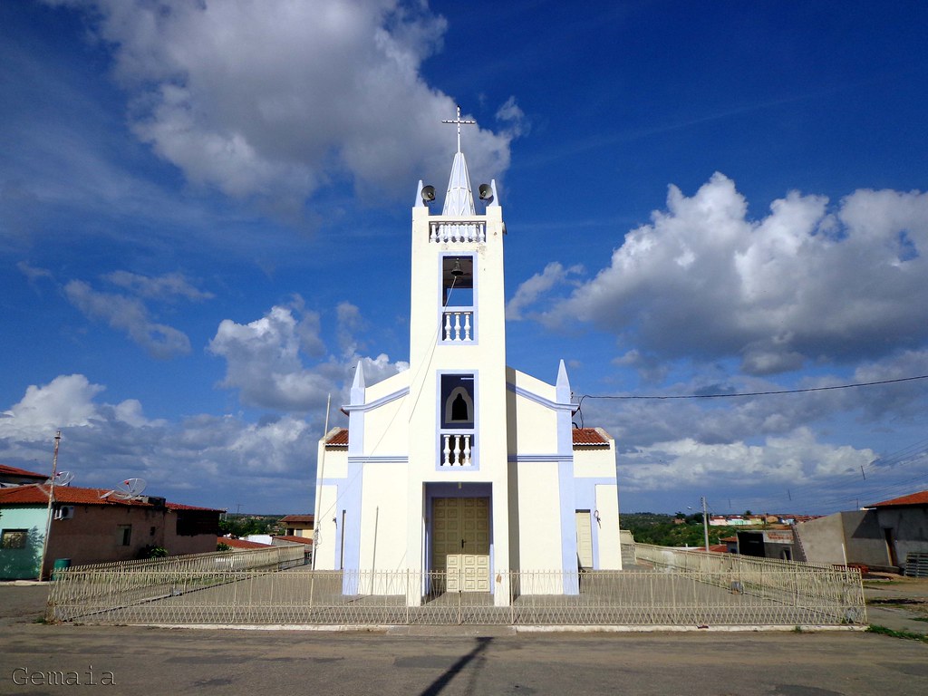
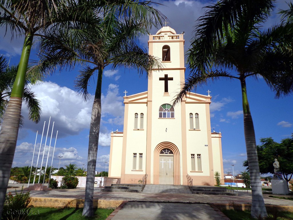
Igreja São Vicente Férrer (Church of St Vincent Ferrer) - Itajá - RN
Barragem em Itajá, RN

Barragem em Itajá, RN
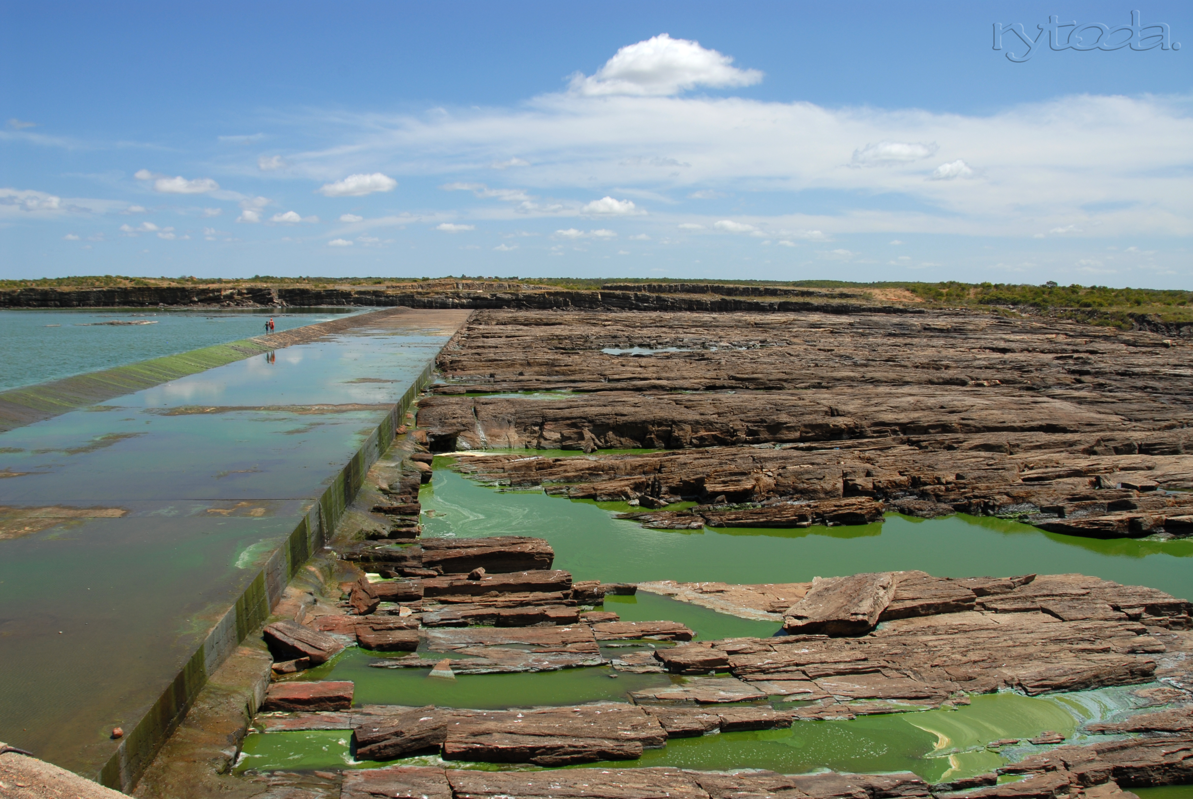
Barragem de Açu RN
Igreja Matriz de Nossa Senhora da Conceição (Church of Our Lady of the Immaculate Conception) - São Rafael - RN
Topographic Map of Itajá - State of Rio Grande do Norte, Brazil
Find elevation by address:

Places in Itajá - State of Rio Grande do Norte, Brazil:
Places near Itajá - State of Rio Grande do Norte, Brazil:
Recent Searches:
- Elevation of Corso Fratelli Cairoli, 35, Macerata MC, Italy
- Elevation of Tallevast Rd, Sarasota, FL, USA
- Elevation of 4th St E, Sonoma, CA, USA
- Elevation of Black Hollow Rd, Pennsdale, PA, USA
- Elevation of Oakland Ave, Williamsport, PA, USA
- Elevation of Pedrógão Grande, Portugal
- Elevation of Klee Dr, Martinsburg, WV, USA
- Elevation of Via Roma, Pieranica CR, Italy
- Elevation of Tavkvetili Mountain, Georgia
- Elevation of Hartfords Bluff Cir, Mt Pleasant, SC, USA