Elevation of Ismail Pur, Bihar, India
Location: India > Bihar > Bhagalpur >
Longitude: 87.1173466
Latitude: 25.2972045
Elevation: 35m / 115feet
Barometric Pressure: 101KPa
Elevation Map:
Satellite Map:
Related Photos:

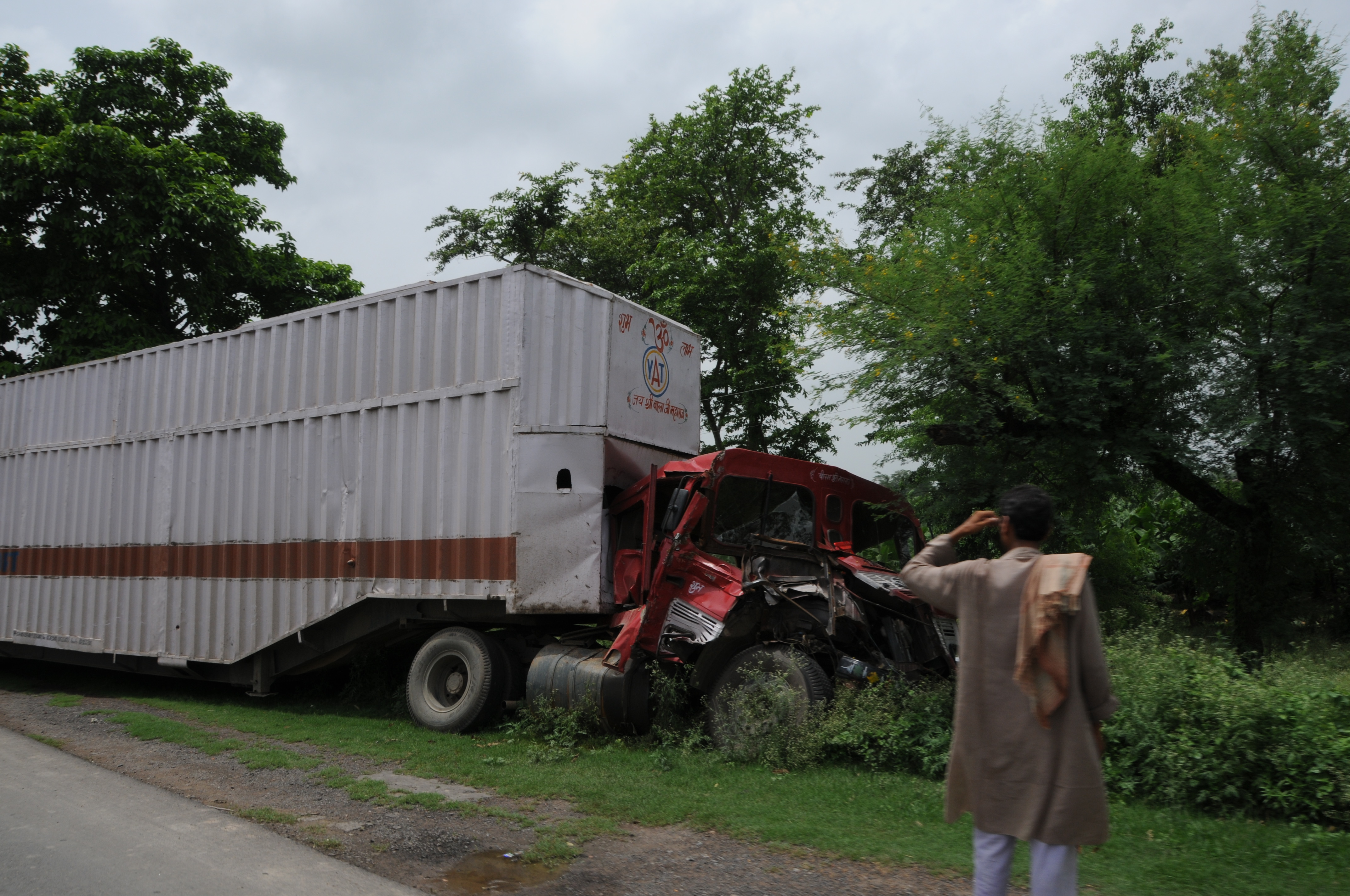
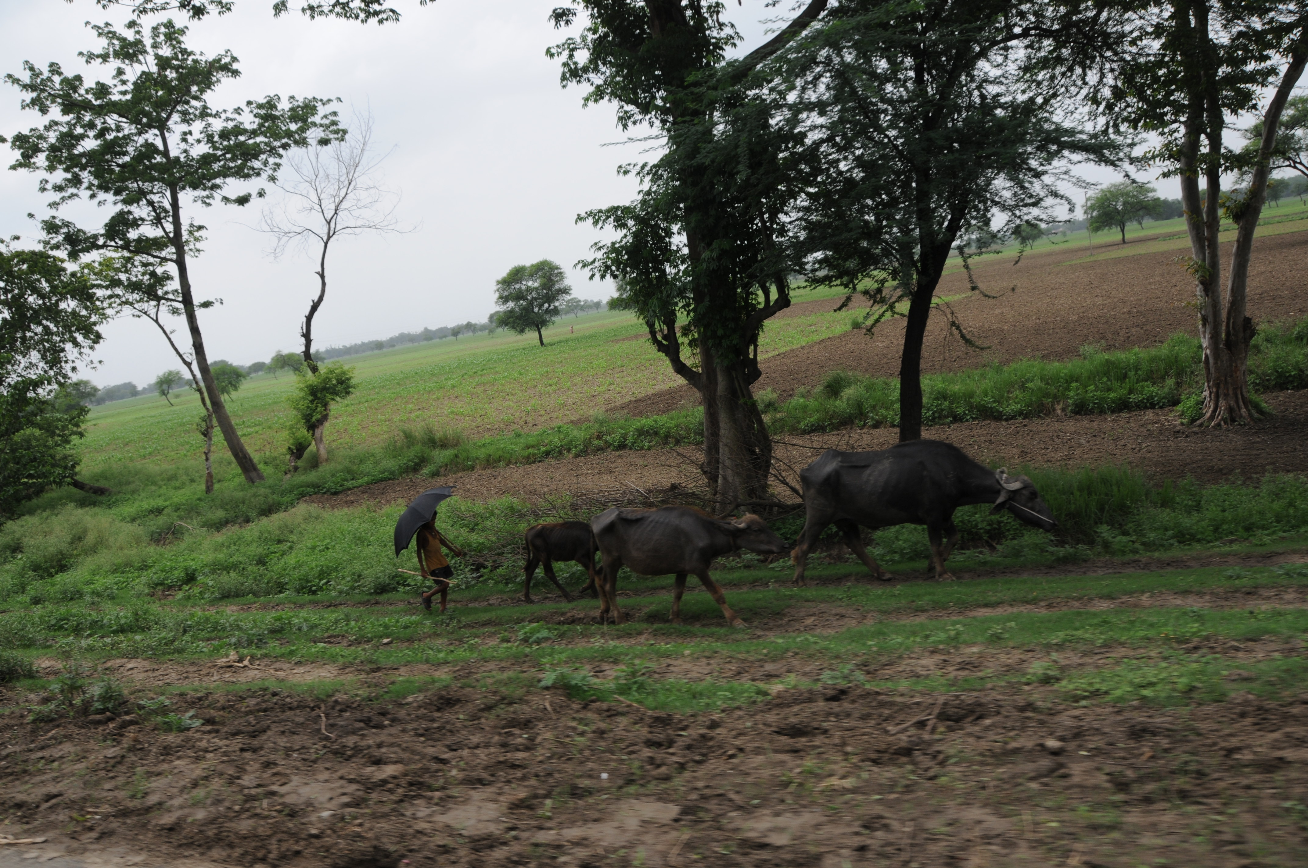
Naugachhia, Bihar(2008)
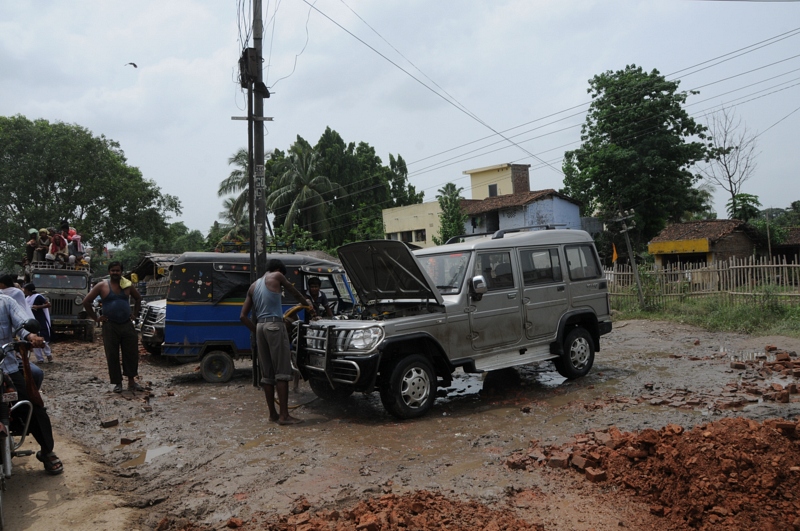
Naugachhia, Bihar(2008)
CSP_3906.JPG
CSP_3904.JPG

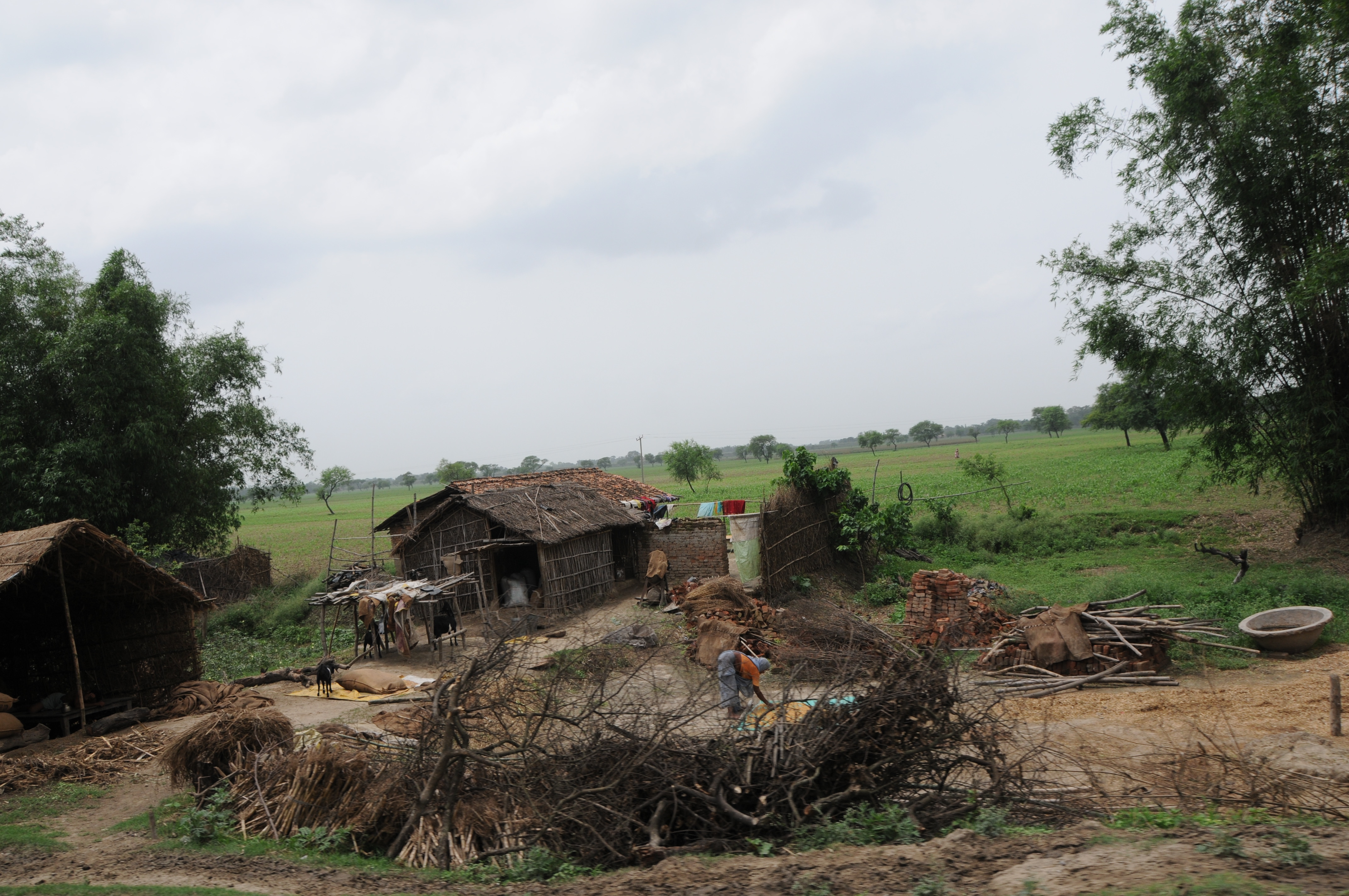
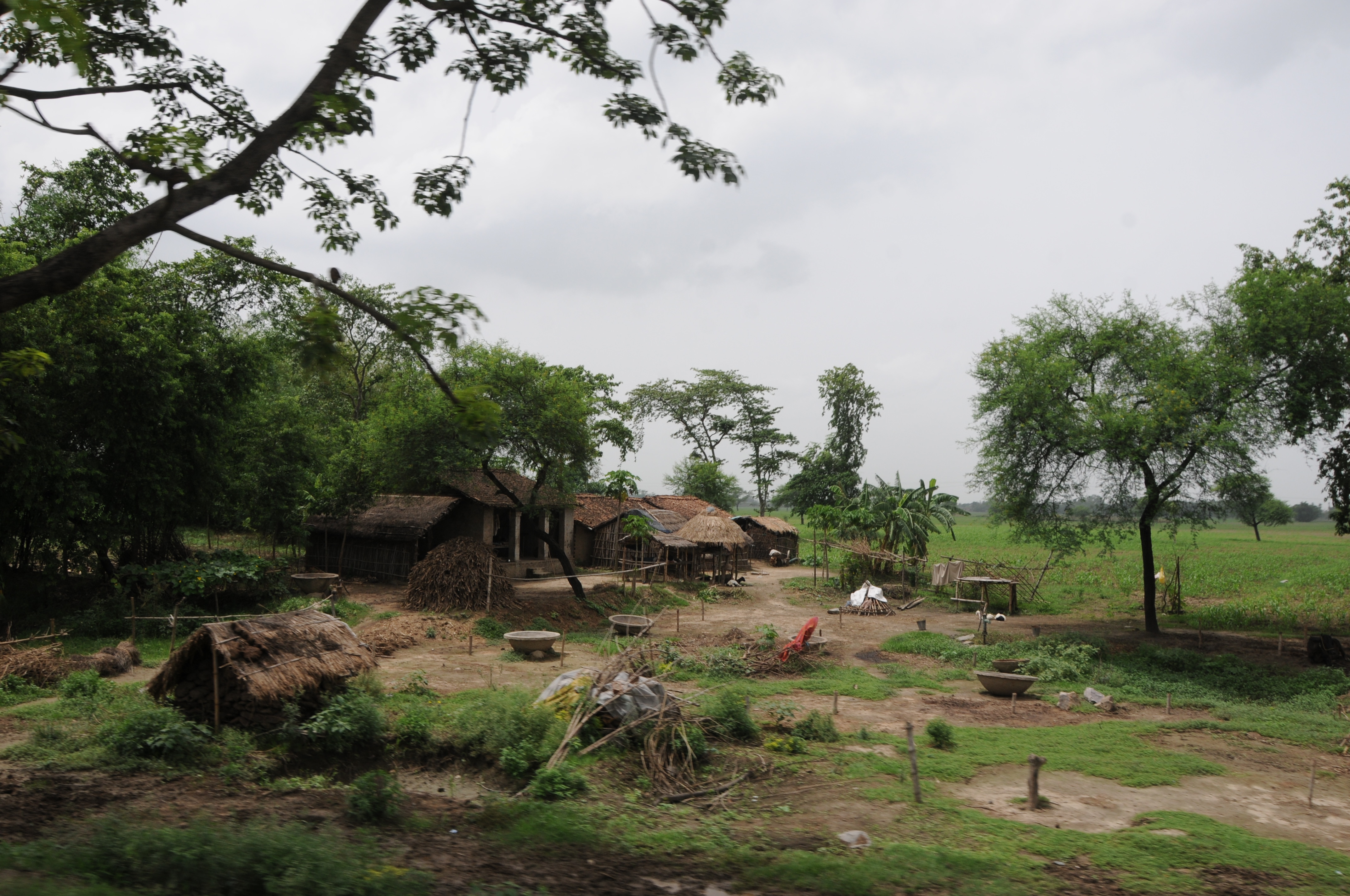
Naugachhia, Bihar(2008)

Naugachhia, Bihar(2008)
CSP_3901.JPG
CSP_3907.JPG

CSP_3903.JPG
CSP_3905.JPG
CSP_3902.JPG

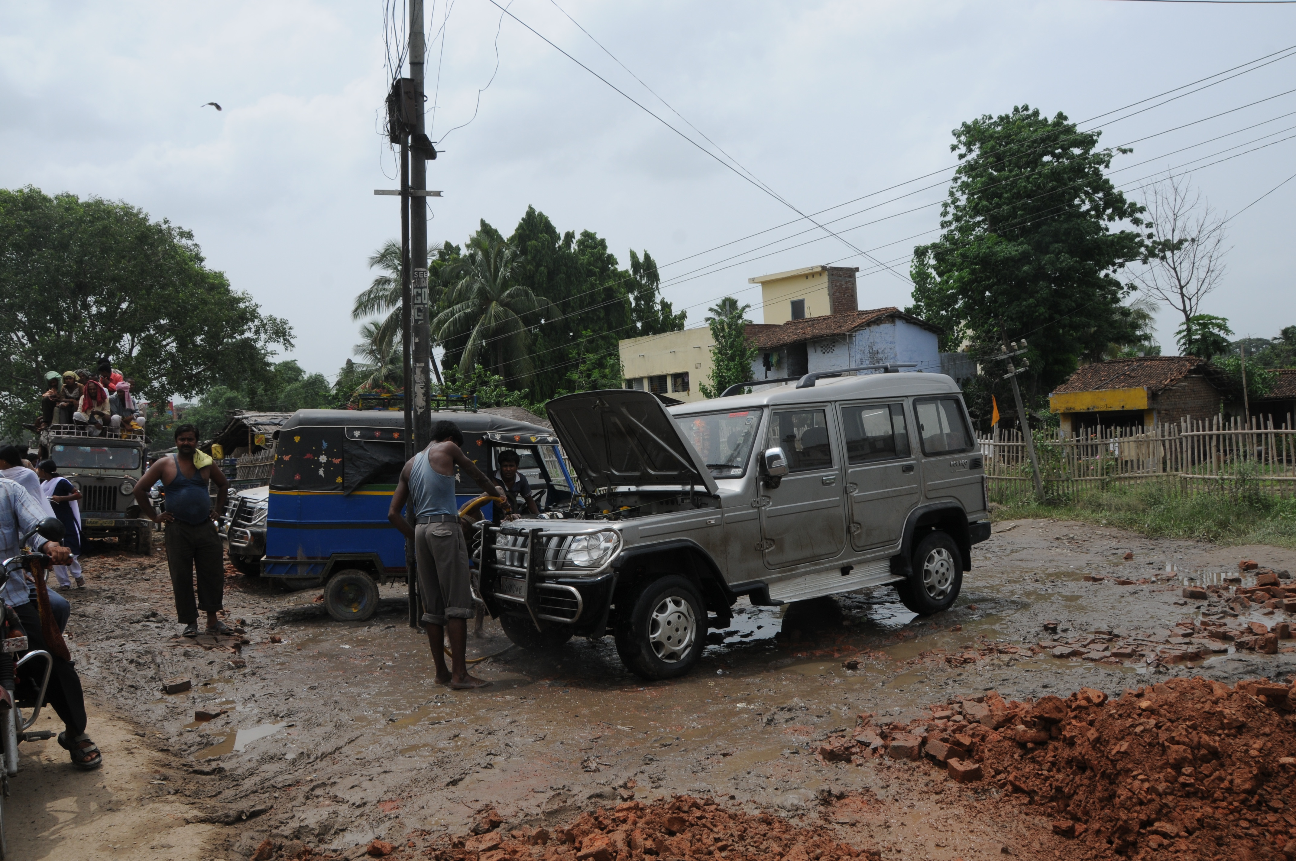
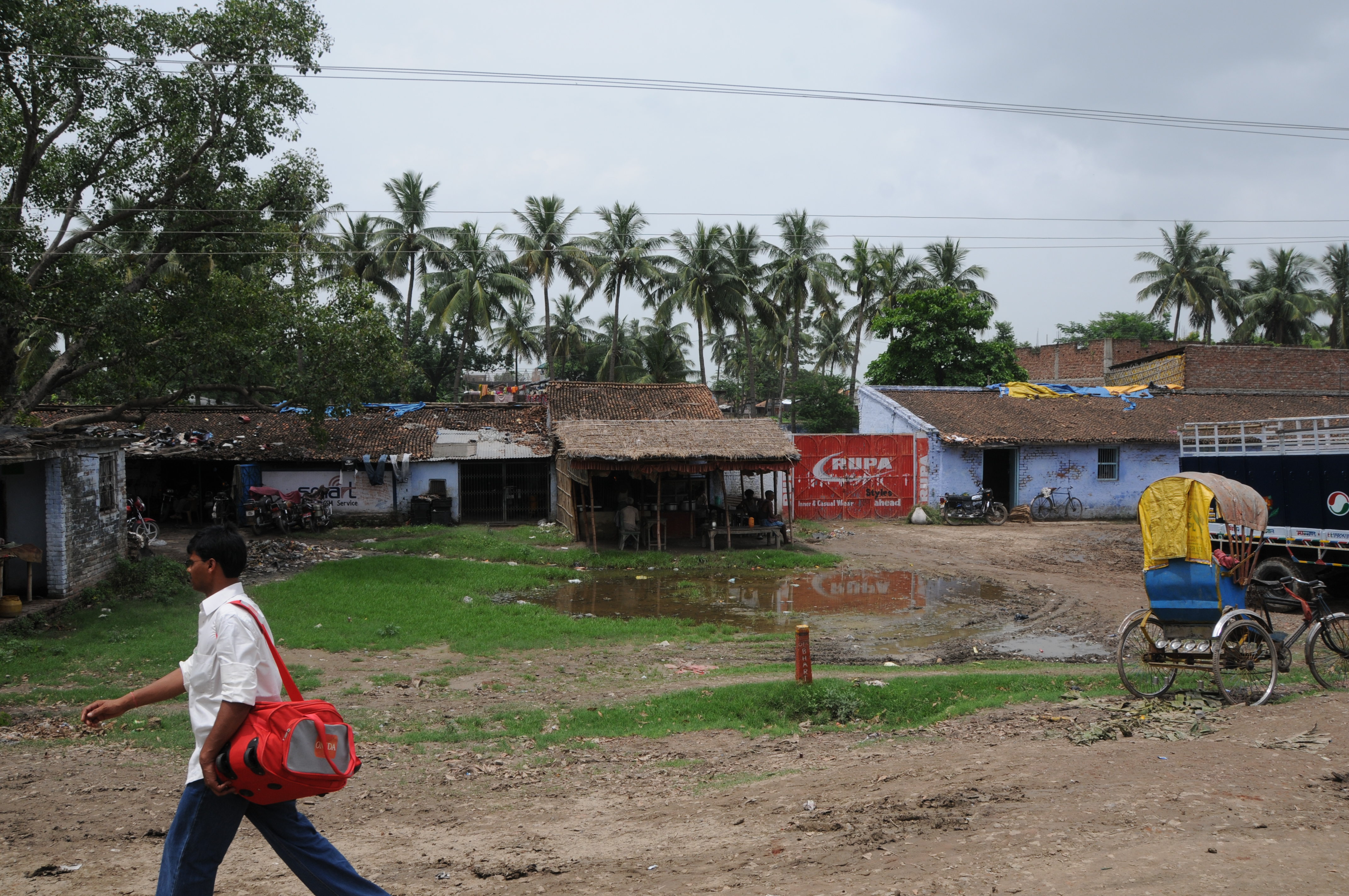
Naugachhia, Bihar(2008)
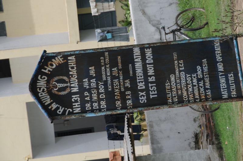
Naugachhia, Bihar(2008)
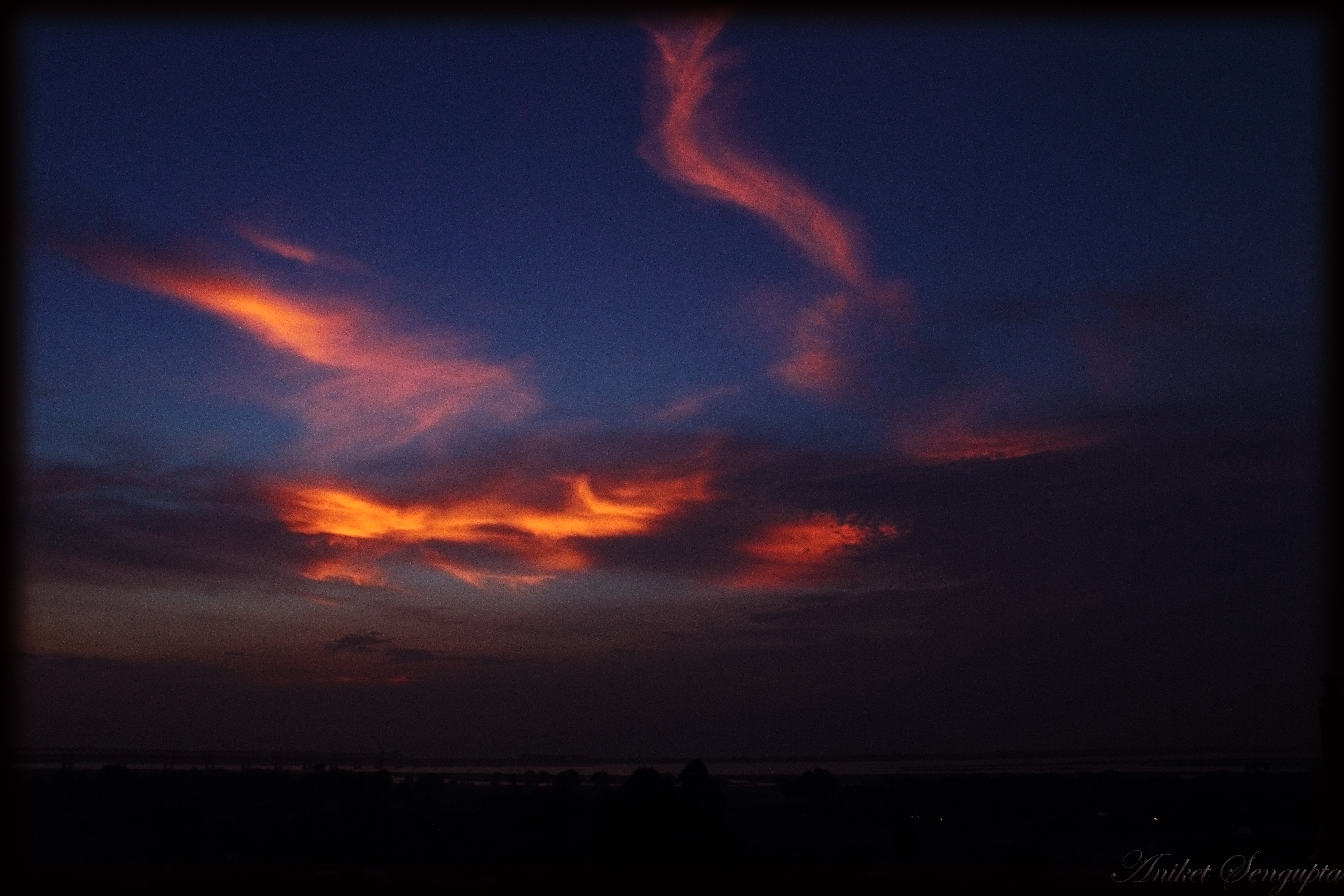
Sky on fire
Topographic Map of Ismail Pur, Bihar, India
Find elevation by address:

Places near Ismail Pur, Bihar, India:
Gopalpur
Lodipur Khurd
Bhagalpur
Akbarnagar
Tilakpur
English Khanpur
Khanpur Lake.
Banka
Munger
Banka
Pareya Hat
Poraiyahat Police Station
Saraiyahat
Mohanpur
Katban Chhit
Jharkhand, India
Charghara
Jarmundi
Nagi Dam Pahar
Jhajha
Recent Searches:
- Elevation of Corso Fratelli Cairoli, 35, Macerata MC, Italy
- Elevation of Tallevast Rd, Sarasota, FL, USA
- Elevation of 4th St E, Sonoma, CA, USA
- Elevation of Black Hollow Rd, Pennsdale, PA, USA
- Elevation of Oakland Ave, Williamsport, PA, USA
- Elevation of Pedrógão Grande, Portugal
- Elevation of Klee Dr, Martinsburg, WV, USA
- Elevation of Via Roma, Pieranica CR, Italy
- Elevation of Tavkvetili Mountain, Georgia
- Elevation of Hartfords Bluff Cir, Mt Pleasant, SC, USA