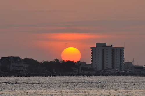
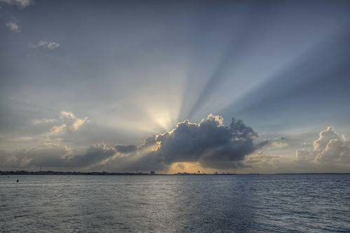
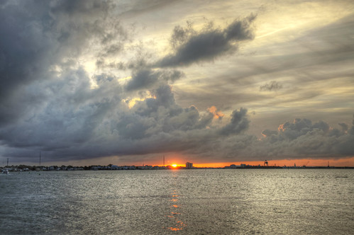
Elevation of Island Rd, Harkers Island, NC, USA
Location: United States > North Carolina > Carteret County > Harkers Island > Harkers Island >
Longitude: -76.563701
Latitude: 34.6947852
Elevation: 1m / 3feet
Barometric Pressure: 101KPa
Related Photos:
Topographic Map of Island Rd, Harkers Island, NC, USA
Find elevation by address:

Places near Island Rd, Harkers Island, NC, USA:
884 Island Rd
888 Island Rd
896 Island Rd
896 Island Rd
900 Island Rd
882 Island Rd
876 Island Rd
880 Island Rd
880 Island Rd
866 Island Rd
920 Island Rd
860 Island Rd
856 Island Rd
846 Island Rd
603 Cape Lookout Dr
820 Island Rd
Harkers Island
770 Island Rd
1016 Island Rd
1200 Island Rd
Recent Searches:
- Elevation of Corso Fratelli Cairoli, 35, Macerata MC, Italy
- Elevation of Tallevast Rd, Sarasota, FL, USA
- Elevation of 4th St E, Sonoma, CA, USA
- Elevation of Black Hollow Rd, Pennsdale, PA, USA
- Elevation of Oakland Ave, Williamsport, PA, USA
- Elevation of Pedrógão Grande, Portugal
- Elevation of Klee Dr, Martinsburg, WV, USA
- Elevation of Via Roma, Pieranica CR, Italy
- Elevation of Tavkvetili Mountain, Georgia
- Elevation of Hartfords Bluff Cir, Mt Pleasant, SC, USA


