Elevation of Island Park, ID, USA
Location: United States > Idaho > Fremont County >
Longitude: -111.37106
Latitude: 44.4243637
Elevation: 1918m / 6293feet
Barometric Pressure: 80KPa
Elevation Map:
Satellite Map:
Related Photos:
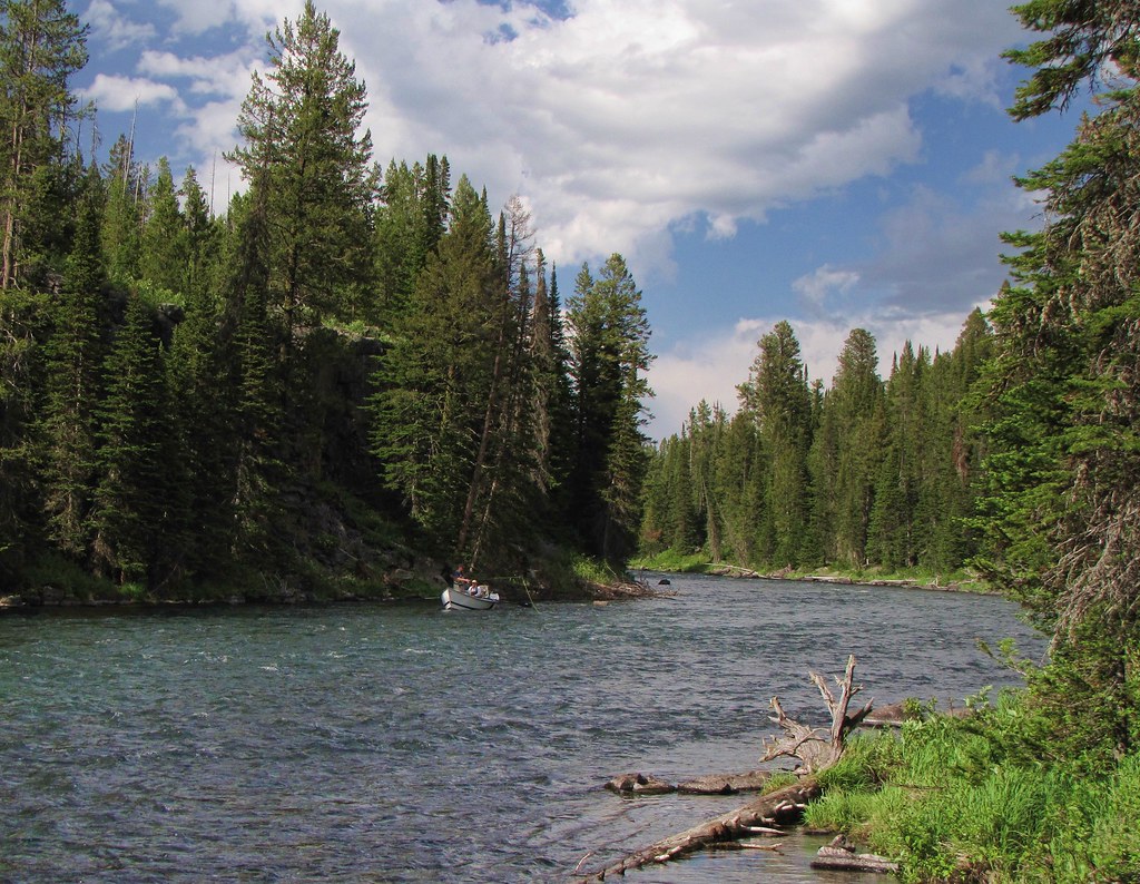
not a bad fishing spot
What are you looking at?
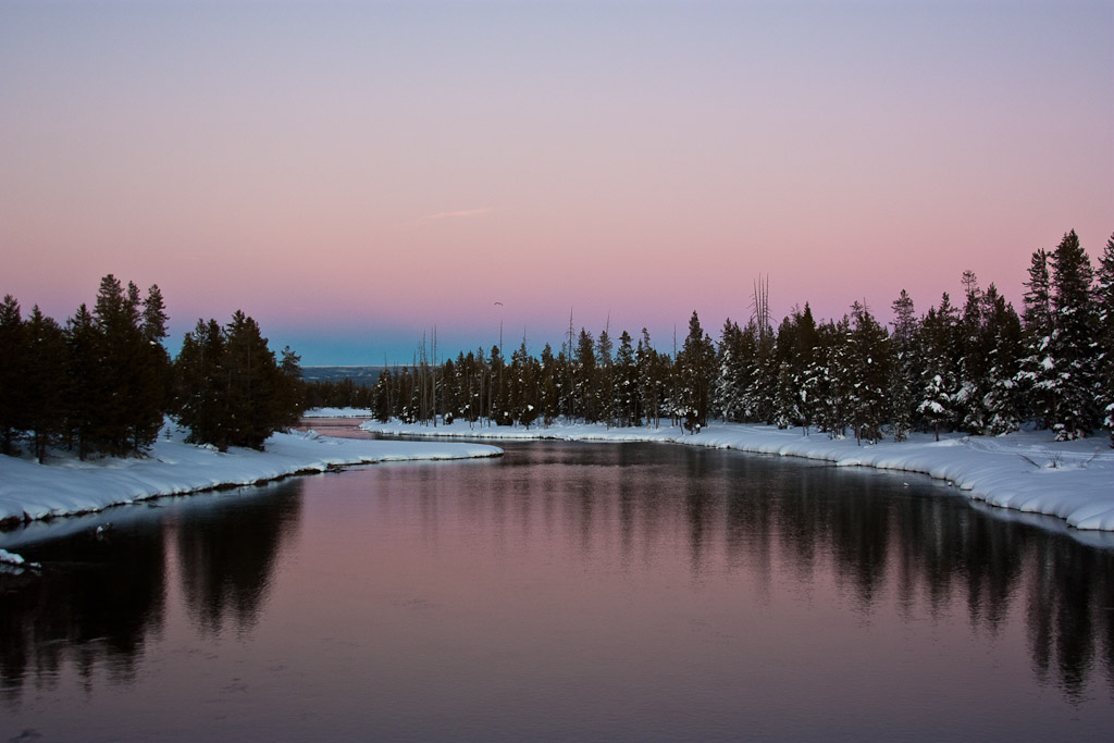
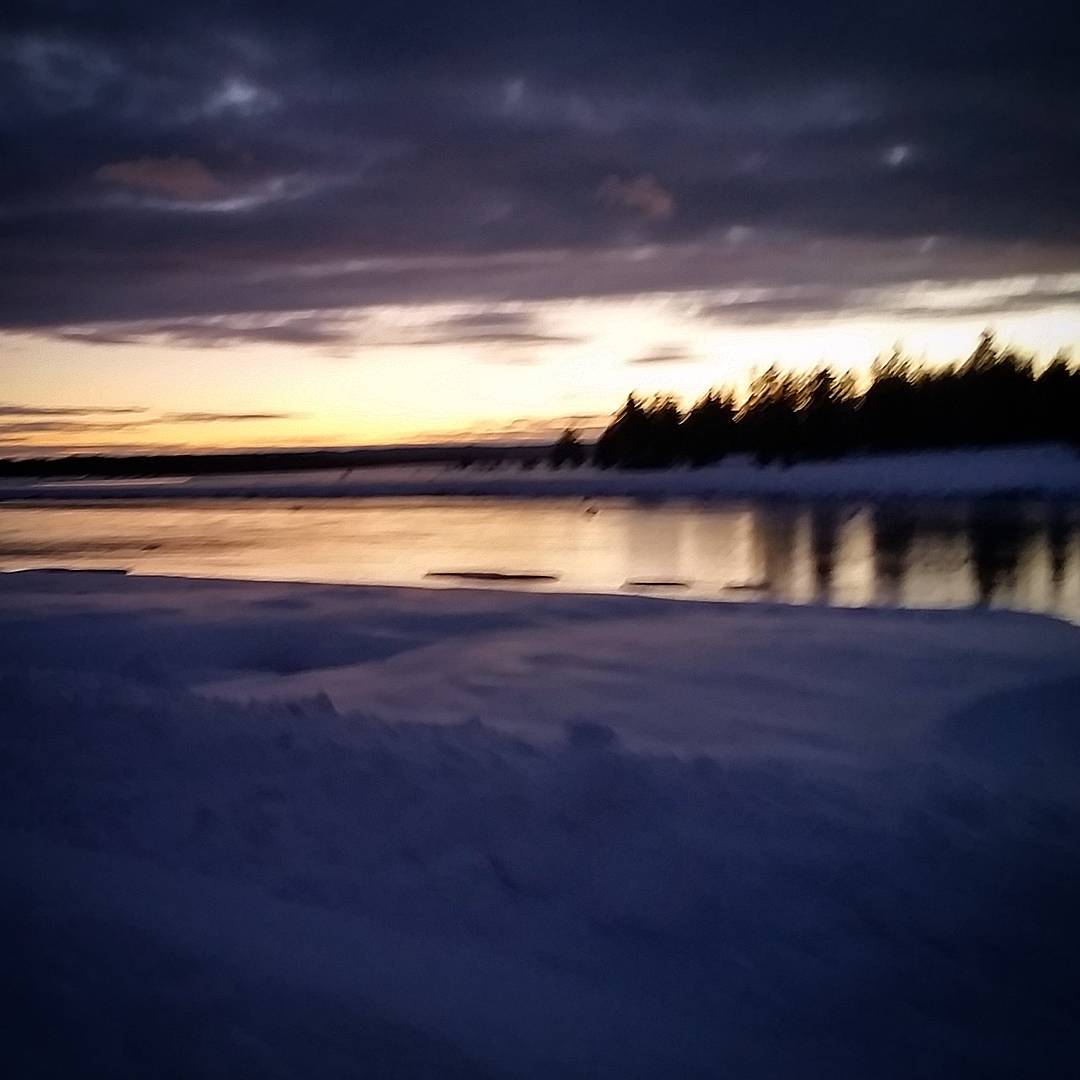
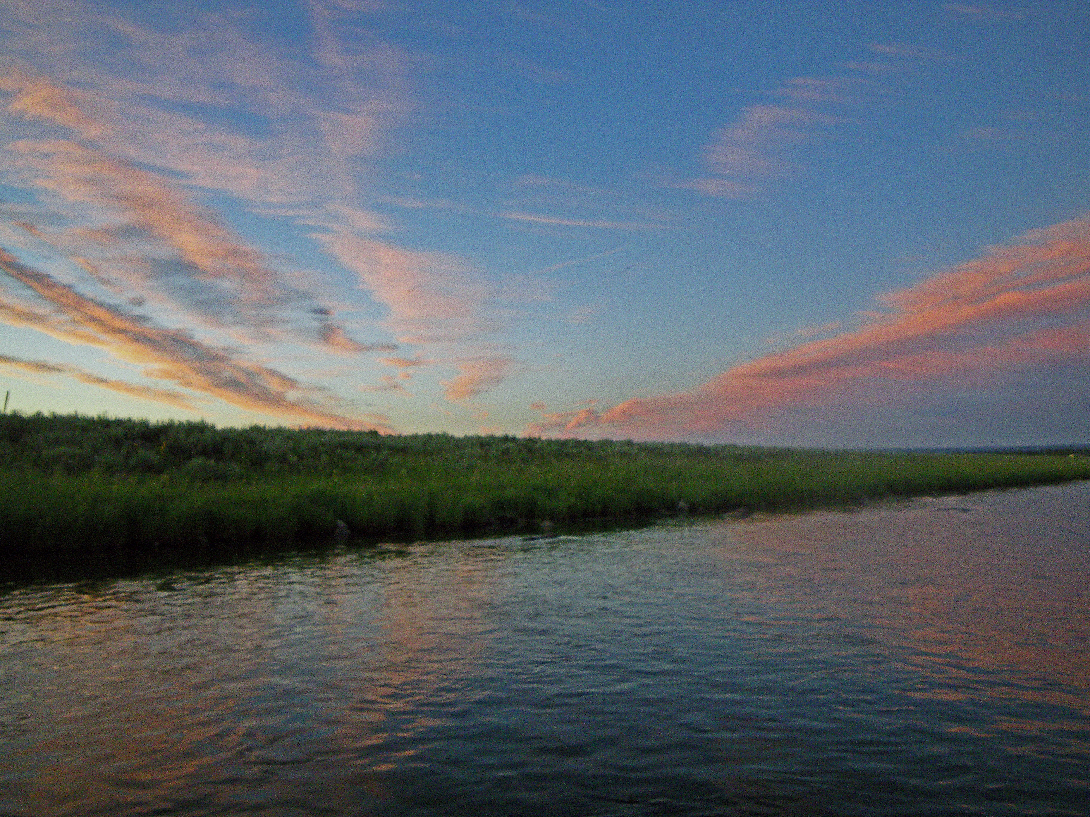
Sunset over the river

A fork in the river
Day 2 ☁ -Almost there-
Here is another picture from Friday's start of the bike race. I'm finally turning the corner and feeling better now. I want to thank Jay, Tracey, and all the volunteers for putting on one of the best events. A true epic test of endurance.
Golly gee wiz

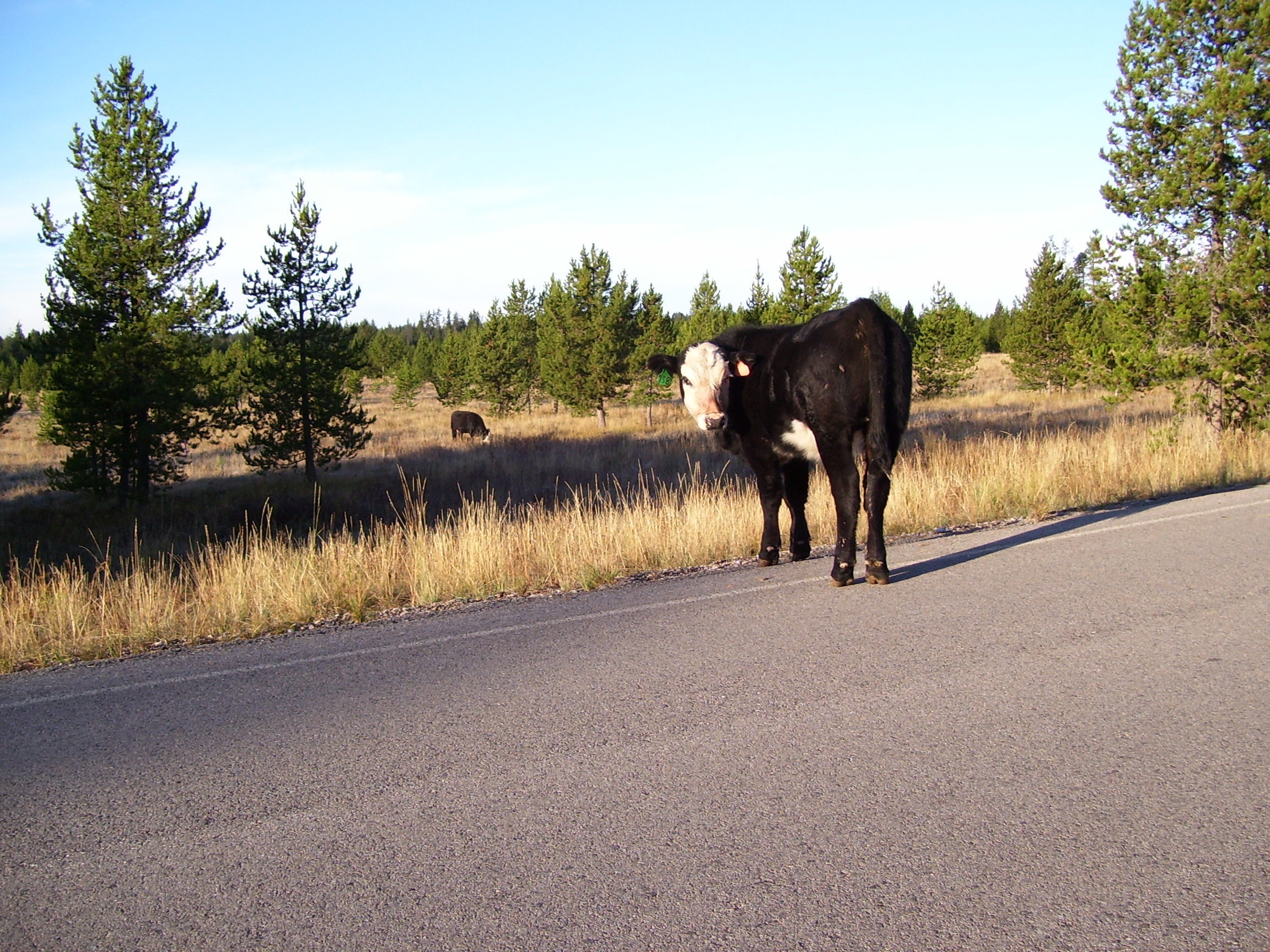
Nice Rack...
Blue Steel took a picture!
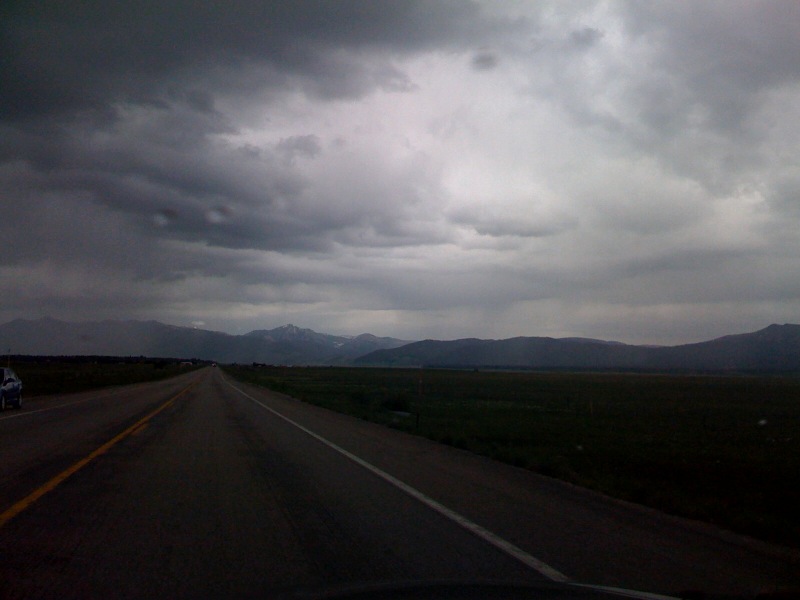
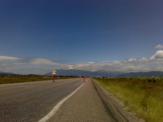
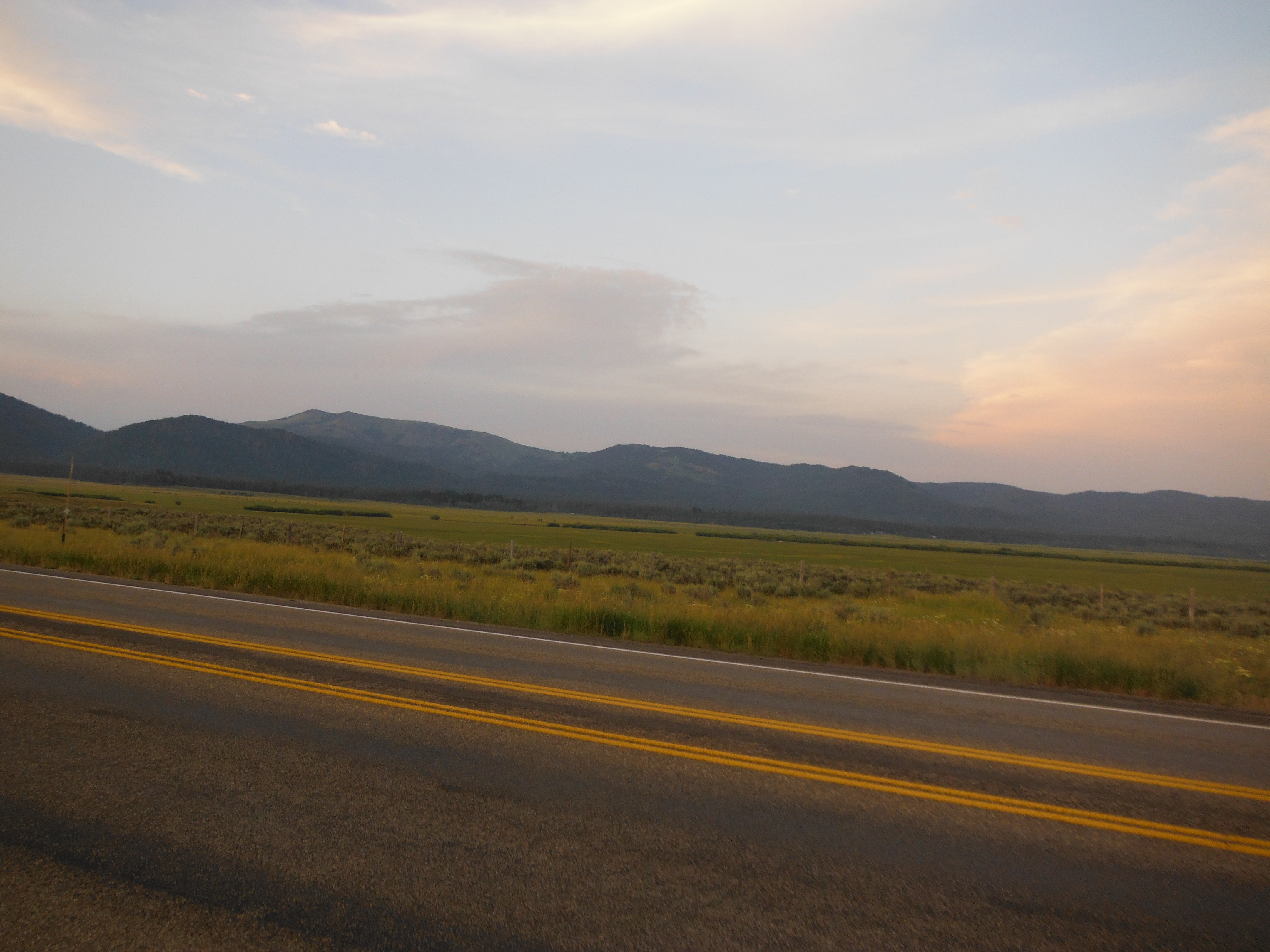
Somewhere in Idaho
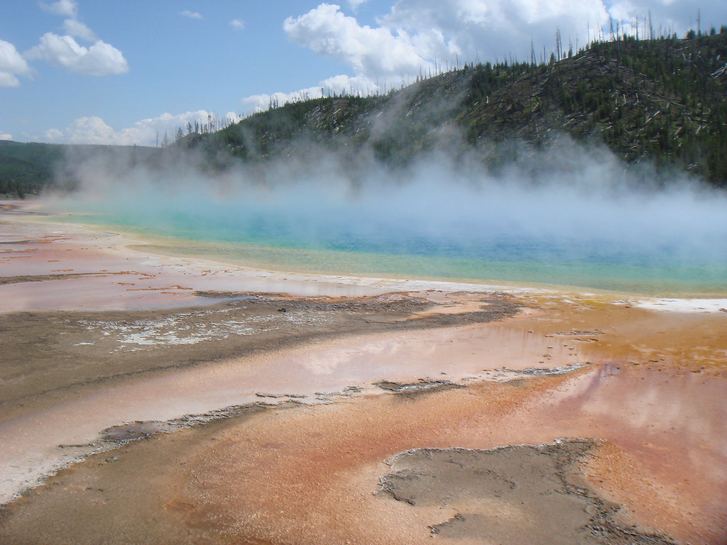
Snake River-1960
Chad & Lisa's Camera-46
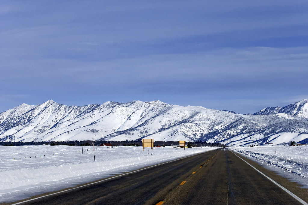
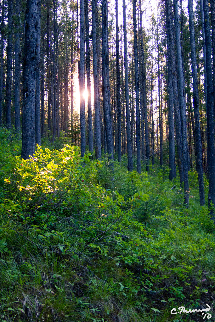
Island Park

Thurman Lake Loop Ski Trail - Idaho
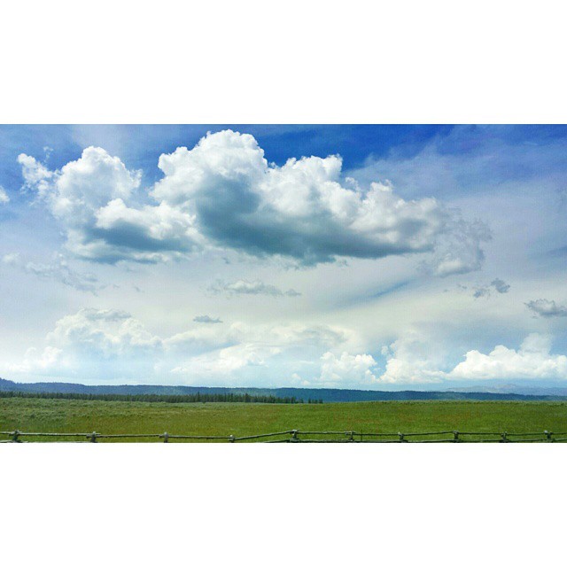
20. Last Chance Sky
Topographic Map of Island Park, ID, USA
Find elevation by address:

Places in Island Park, ID, USA:
Forest Rd, Island Park, ID, USA
ID-87, Island Park, ID, USA
Old Highway, Island Park, ID, USA
Henry's Lake Road
Mount Two Top
Overlook Drive
Overlook Drive
Henrys Lake
Island Park, ID, USA
Sawtell Peak
Places near Island Park, ID, USA:
3760 Snake River Rd
Old Highway, Island Park, ID, USA
Mack's Inn Resort
Island Park, ID, USA
4197 Lone Pine St
4496 Stone Run
4214 Grandview Rd
Forest Rd, Island Park, ID, USA
4779 Pinion
Sawtell Peak
Redrock Rv Park
3707 Red Rock Rd
Fremont County
Mount Two Top
Henry's Lake Road
Henrys Lake
Overlook Drive
Overlook Drive
3875 Overlook Dr
ID-87, Island Park, ID, USA
Recent Searches:
- Elevation of Corso Fratelli Cairoli, 35, Macerata MC, Italy
- Elevation of Tallevast Rd, Sarasota, FL, USA
- Elevation of 4th St E, Sonoma, CA, USA
- Elevation of Black Hollow Rd, Pennsdale, PA, USA
- Elevation of Oakland Ave, Williamsport, PA, USA
- Elevation of Pedrógão Grande, Portugal
- Elevation of Klee Dr, Martinsburg, WV, USA
- Elevation of Via Roma, Pieranica CR, Italy
- Elevation of Tavkvetili Mountain, Georgia
- Elevation of Hartfords Bluff Cir, Mt Pleasant, SC, USA