Elevation of Irvington, KY, USA
Location: United States > Kentucky > Breckinridge County >
Longitude: -86.283862
Latitude: 37.8803429
Elevation: 190m / 623feet
Barometric Pressure: 99KPa
Elevation Map:
Satellite Map:
Related Photos:
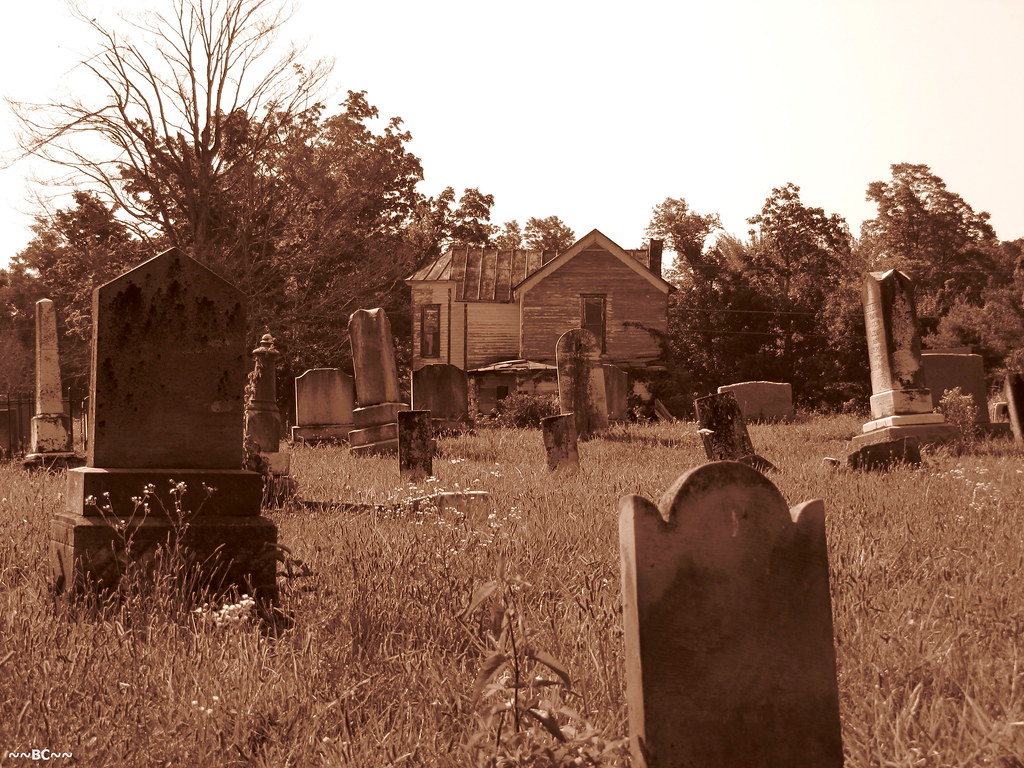
View From The Grave.
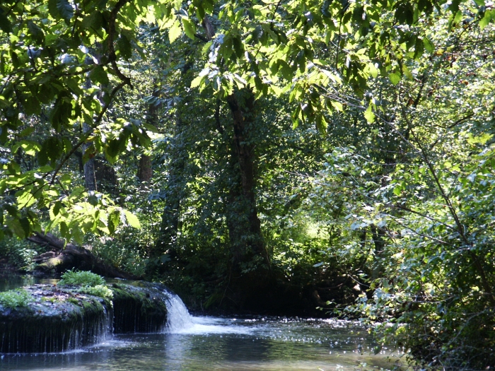
Small Falls at Doe Run - Side View
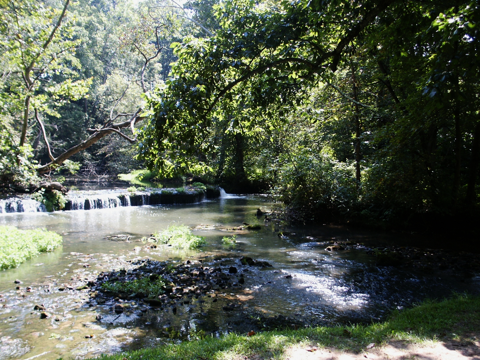
Stream & Small Falls at Doe Run Inn Property in Brandenburg Station, Kentucky

69/365
67/365

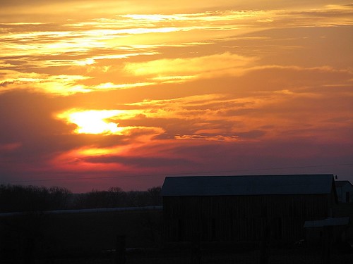
Winter Sunset KY 2

29/365

27/365

7/365

20/365
10/365
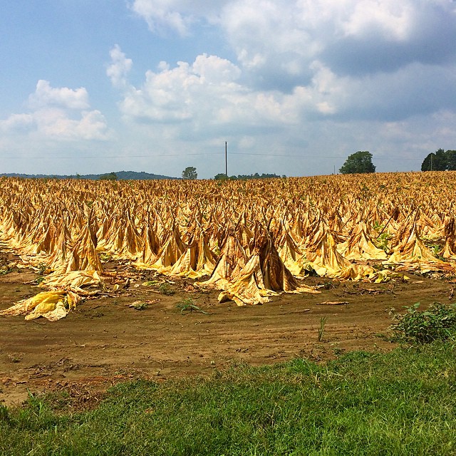
Tobacco field in KY #tobbaco #field #photography
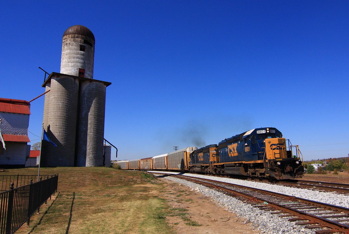
CSX 8801 Q247 Irvington KY 09 Oct 2010
50/365

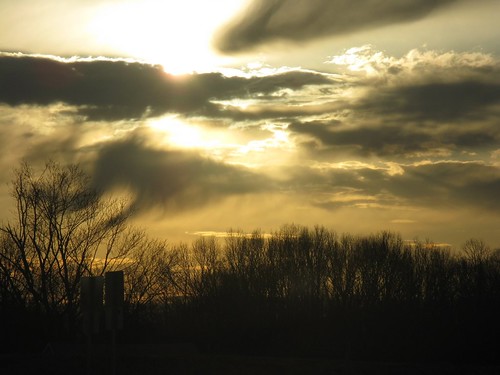
Winter Sunset

Sunset 12/8 Ky

Sunlight on Water at Doe Run
Topographic Map of Irvington, KY, USA
Find elevation by address:

Places in Irvington, KY, USA:
Places near Irvington, KY, USA:
809 Park Ave
Park Avenue
504 Cross Ln
KY-, Irvington, KY, USA
Meade County
KY-86, Irvington, KY, USA
Ekron
Garfield
US-60, Harned, KY, USA
KY-, Rhodelia, KY, USA
Custer
KY-86, Custer, KY, USA
990 Doe Run Ekron Rd
695 Wise Rd
Brandenburg Rd, Brandenburg, KY, USA
KY-, Stephensport, KY, USA
100 Walnut Grove Rd
116 Redfern Ln
385 Rolling Acres Dr
Oak St, Hardinsburg, KY, USA
Recent Searches:
- Elevation of Corso Fratelli Cairoli, 35, Macerata MC, Italy
- Elevation of Tallevast Rd, Sarasota, FL, USA
- Elevation of 4th St E, Sonoma, CA, USA
- Elevation of Black Hollow Rd, Pennsdale, PA, USA
- Elevation of Oakland Ave, Williamsport, PA, USA
- Elevation of Pedrógão Grande, Portugal
- Elevation of Klee Dr, Martinsburg, WV, USA
- Elevation of Via Roma, Pieranica CR, Italy
- Elevation of Tavkvetili Mountain, Georgia
- Elevation of Hartfords Bluff Cir, Mt Pleasant, SC, USA