Elevation of Irumu, Democratic Republic of the Congo
Location: Democratic Republic Of The Congo > Orientale > Ituri >
Longitude: 29.8439109
Latitude: 1.4391476
Elevation: 914m / 2999feet
Barometric Pressure: 91KPa
Elevation Map:
Satellite Map:
Related Photos:

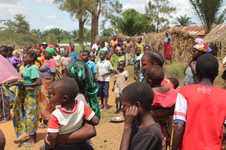
IMG_1729
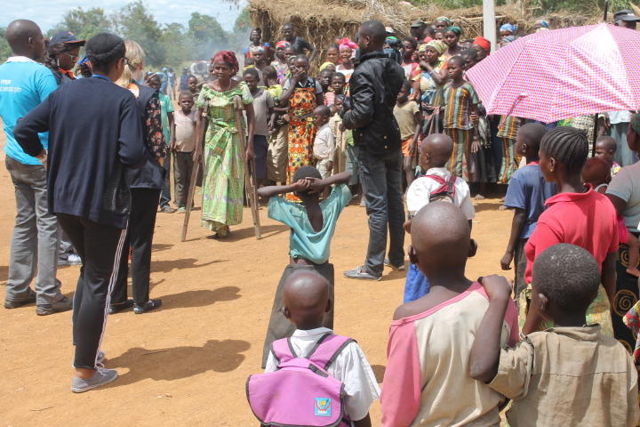
IMG_1730

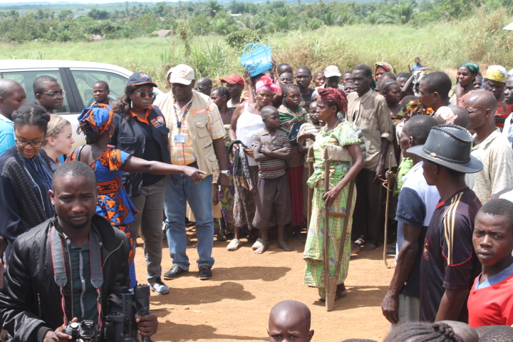
IMG_1731
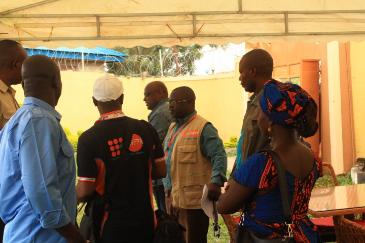
IMG_1732
IMG_1733
IMG_1737
IMG_1739
IMG_1740

IMG_1745
IMG_1746
IMG_1724
IMG_1727
IMG_1728
IMG_1736
IMG_1741
IMG_1742
Topographic Map of Irumu, Democratic Republic of the Congo
Find elevation by address:

Places near Irumu, Democratic Republic of the Congo:
Recent Searches:
- Elevation of Corso Fratelli Cairoli, 35, Macerata MC, Italy
- Elevation of Tallevast Rd, Sarasota, FL, USA
- Elevation of 4th St E, Sonoma, CA, USA
- Elevation of Black Hollow Rd, Pennsdale, PA, USA
- Elevation of Oakland Ave, Williamsport, PA, USA
- Elevation of Pedrógão Grande, Portugal
- Elevation of Klee Dr, Martinsburg, WV, USA
- Elevation of Via Roma, Pieranica CR, Italy
- Elevation of Tavkvetili Mountain, Georgia
- Elevation of Hartfords Bluff Cir, Mt Pleasant, SC, USA