Elevation of Ironworks Rd, Winchester, KY, USA
Location: United States > Kentucky > Clark County > Winchester >
Longitude: -84.008722
Latitude: 37.9292748
Elevation: 239m / 784feet
Barometric Pressure: 98KPa
Elevation Map:
Satellite Map:
Related Photos:

Kentucky, Mount Sterling, Syrup of Figs (16,329)
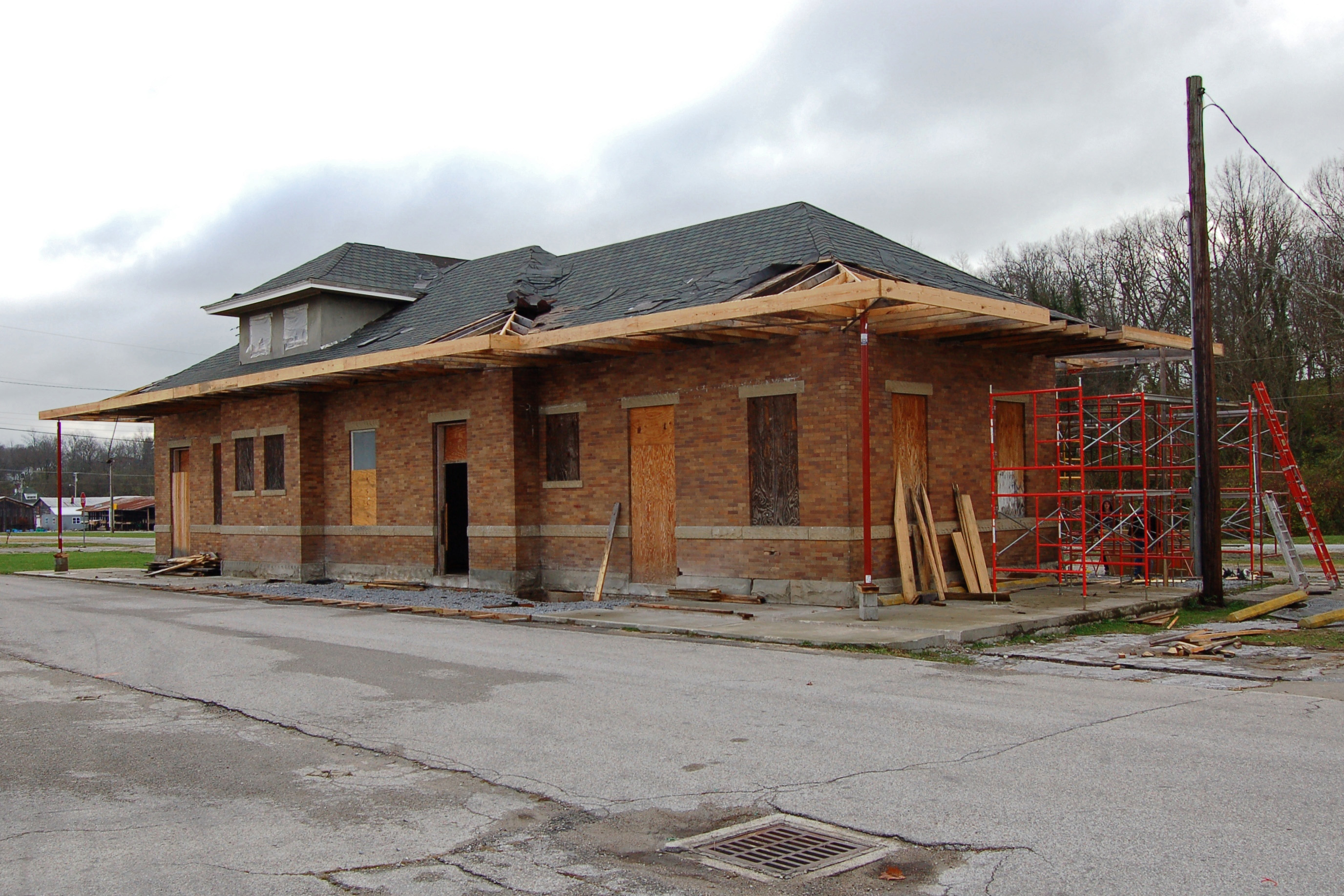
Chesapeake & Ohio Railway, Kentucky, Mount Sterling (13,502)
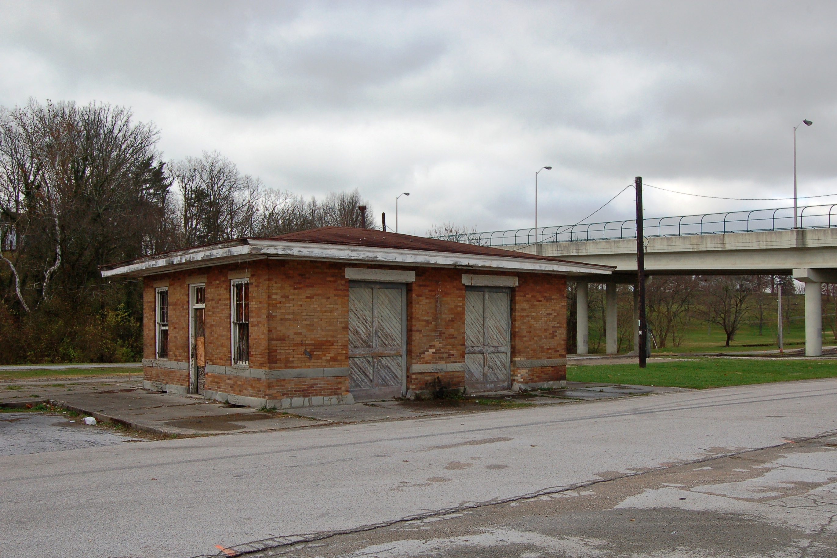
Chesapeake & Ohio Railway, Kentucky, Mount Sterling (13,502b)

Organ 2

On Pilot Knob.

Old #farmhouse in #centralky in B/W
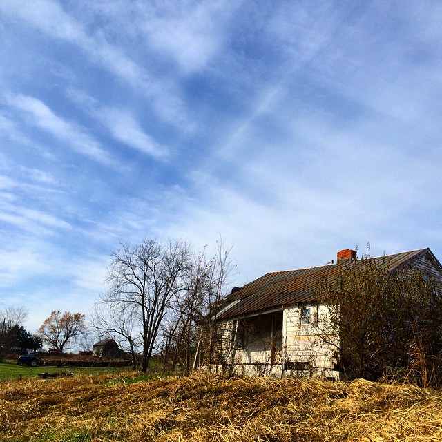
Old #farmhouse in #centralky original shot in color #sky #clouds

Pretty clouds, pretty grape vines, pretty corn.
Home.

Thunderstorms Over Eastern Kentucky

Thunderstorms Over Eastern Kentucky
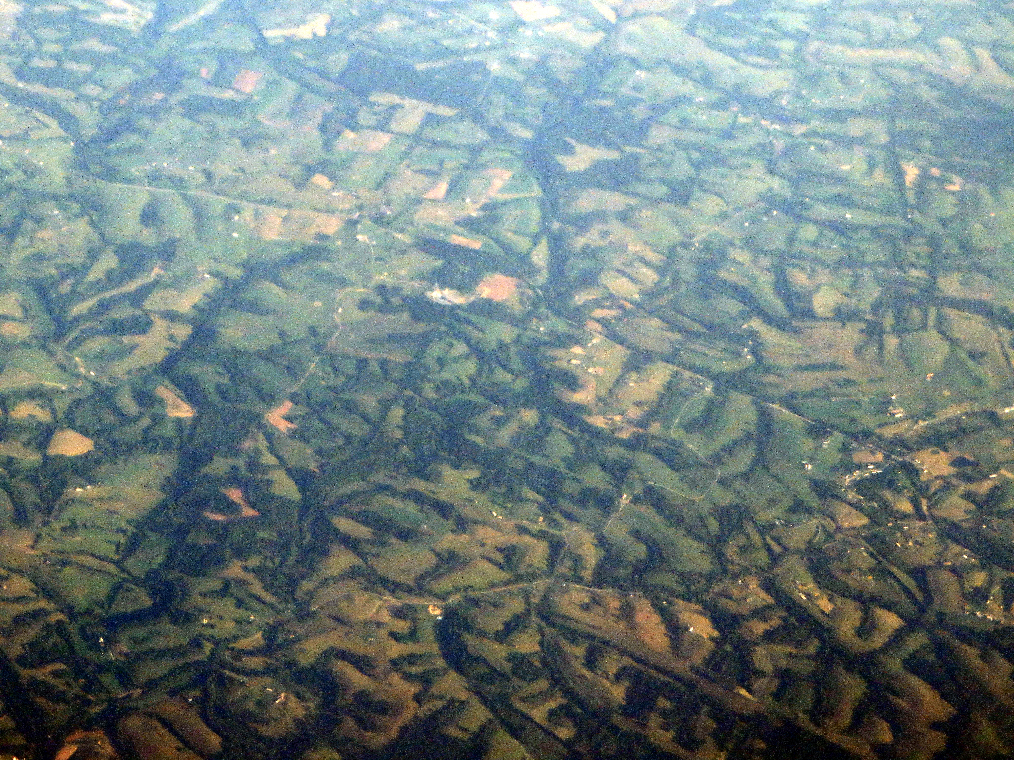
Landscape Just West of Mount Sterling, Kentucky
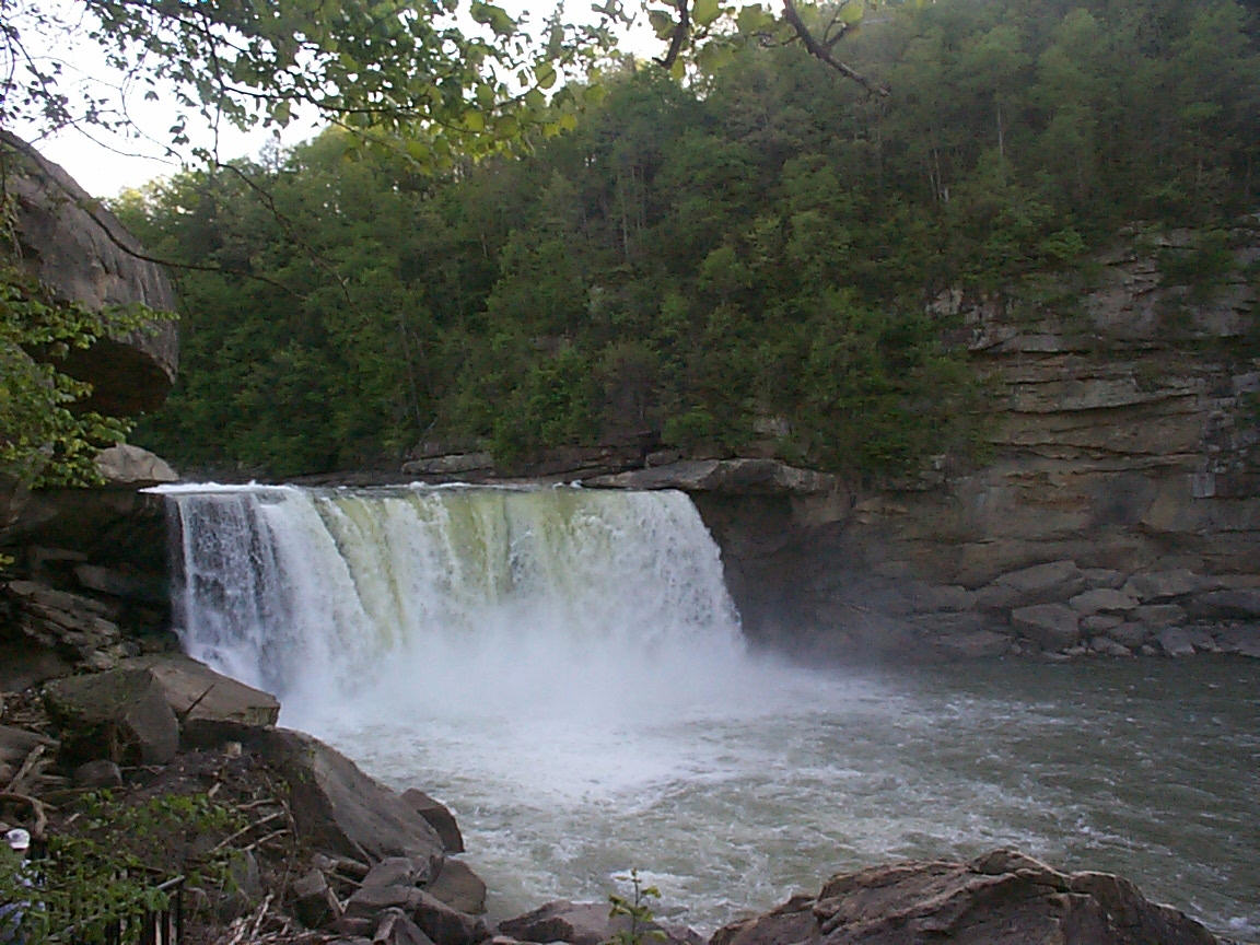
Cumberland Falls

Cumberland Falls
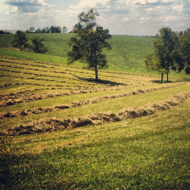
Kentucky Fields
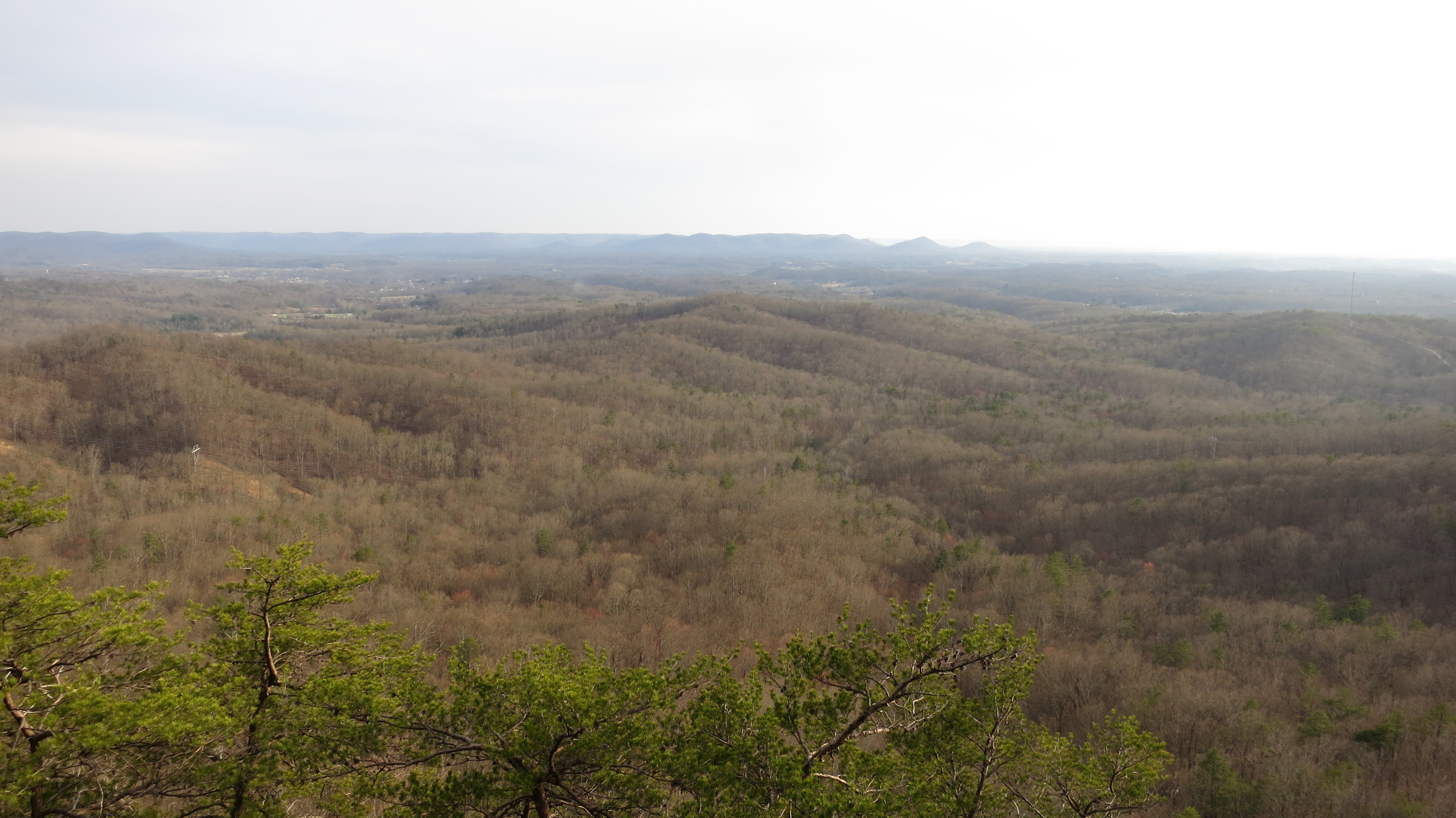
Pilot Knob, Kentucky
Topographic Map of Ironworks Rd, Winchester, KY, USA
Find elevation by address:

Places near Ironworks Rd, Winchester, KY, USA:
1849 Kiddville Rd
Winchester Rd, Clay City, KY, USA
Winchester Rd, Clay City, KY, USA
Pilot Knob
Main St, Clay City, KY, USA
Spout Springs Rd, Irvine, KY, USA
Spout Springs Road
Clay City
35 11th St
59 Doe Valley Rd
Frames Branch Rd, Clay City, KY, USA
Stanton
488 Furnace Rd
63 Allie Ln
Red River Healthcare
Powell County
Campton Rd, Stanton, KY, USA
Means
KY-, Means, KY, USA
US-, Frenchburg, KY, USA
Recent Searches:
- Elevation of Corso Fratelli Cairoli, 35, Macerata MC, Italy
- Elevation of Tallevast Rd, Sarasota, FL, USA
- Elevation of 4th St E, Sonoma, CA, USA
- Elevation of Black Hollow Rd, Pennsdale, PA, USA
- Elevation of Oakland Ave, Williamsport, PA, USA
- Elevation of Pedrógão Grande, Portugal
- Elevation of Klee Dr, Martinsburg, WV, USA
- Elevation of Via Roma, Pieranica CR, Italy
- Elevation of Tavkvetili Mountain, Georgia
- Elevation of Hartfords Bluff Cir, Mt Pleasant, SC, USA