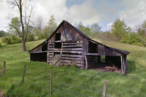
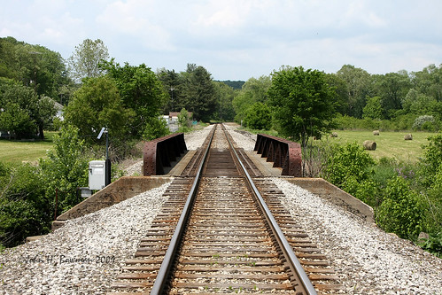
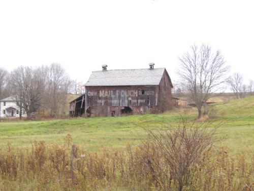
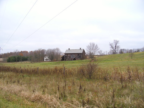
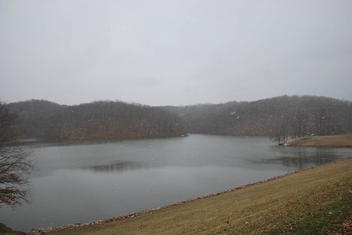
Elevation of Irish Ridge Rd SE, Corning, OH, USA
Location: United States > Ohio > Perry County > Bearfield Township >
Longitude: -82.052335
Latitude: 39.6406116
Elevation: 314m / 1030feet
Barometric Pressure: 98KPa
Related Photos:
Topographic Map of Irish Ridge Rd SE, Corning, OH, USA
Find elevation by address:

Places near Irish Ridge Rd SE, Corning, OH, USA:
OH-, Malta, OH, USA
Monroe Township
OH-37, Corning, OH, USA
Bearfield Township
740 Pascal Rd
Tatmans Rd NE, Crooksville, OH, USA
2755 Stoney Point Rd
11549 Township Rd 326 Se
11549 Township Rd 326 Se
8255 Scenic Rd Se
1505 Oh-78 Scenic
Union Township
Deerfield Township
Burr Oak Rd, Glouster, OH, USA
Morganville
Brandeberry Rd, Malta, OH, USA
3233 N Finley Rd
Salt Lick Township
Shawnee
6450 Portie-flamingo Rd
Recent Searches:
- Elevation of Corso Fratelli Cairoli, 35, Macerata MC, Italy
- Elevation of Tallevast Rd, Sarasota, FL, USA
- Elevation of 4th St E, Sonoma, CA, USA
- Elevation of Black Hollow Rd, Pennsdale, PA, USA
- Elevation of Oakland Ave, Williamsport, PA, USA
- Elevation of Pedrógão Grande, Portugal
- Elevation of Klee Dr, Martinsburg, WV, USA
- Elevation of Via Roma, Pieranica CR, Italy
- Elevation of Tavkvetili Mountain, Georgia
- Elevation of Hartfords Bluff Cir, Mt Pleasant, SC, USA
