Elevation of Ira, NY, USA
Location: United States > New York > Cayuga County >
Longitude: -76.525700
Latitude: 43.2022435
Elevation: 156m / 512feet
Barometric Pressure: 99KPa
Elevation Map:
Satellite Map:
Related Photos:
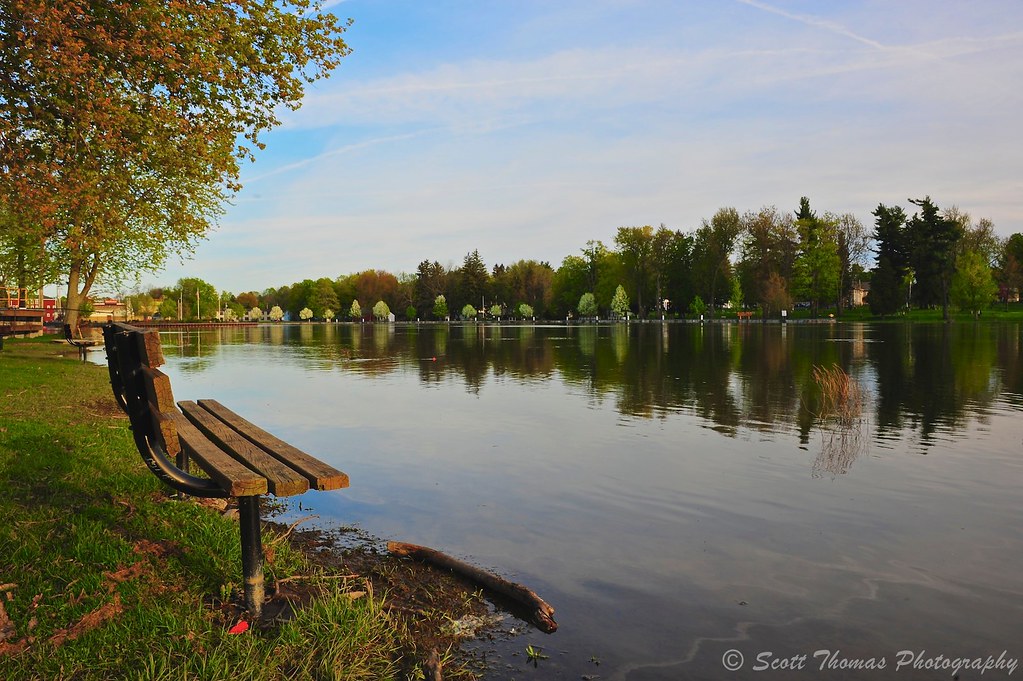
Spring River
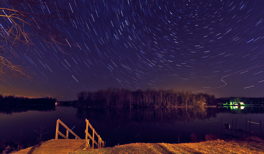
Night sky at Stevenson home.
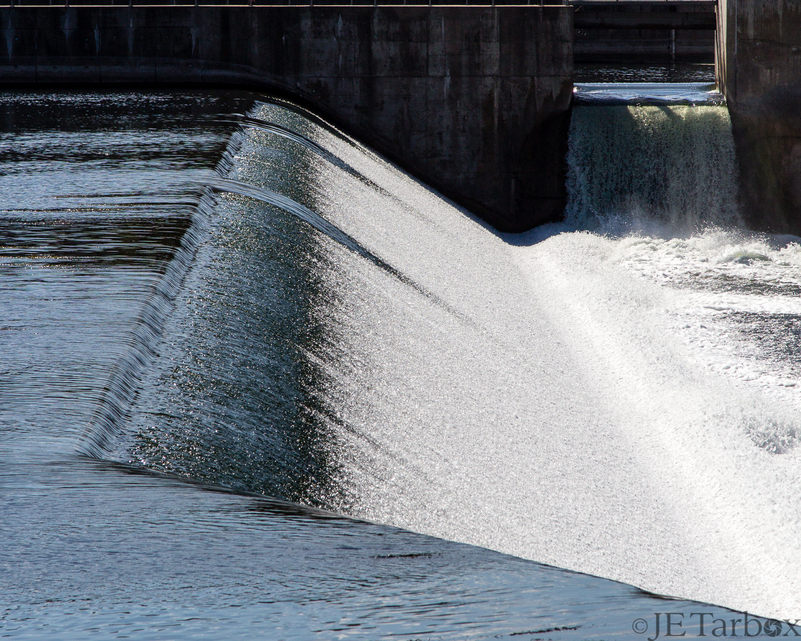
24SEP14: spillway

Another view of todays recon. Love the color. #DetailJohnny#cnyDetailing#SyracuseAutoDetailing#PaintCorrection#PaintSealants#PaintProtection#detailer#DetailersOfInstagram#DetailerOfInstagram#FleetDetailing#ecofriendly#ShowCarDetailing#EventDetai

Jordan, NY

View of the Festival from the parking lot

2014-10-17 15.05.52

Chipmunk, fully loaded

2014-10-17 15.29.33

2014-10-17 15.01.56
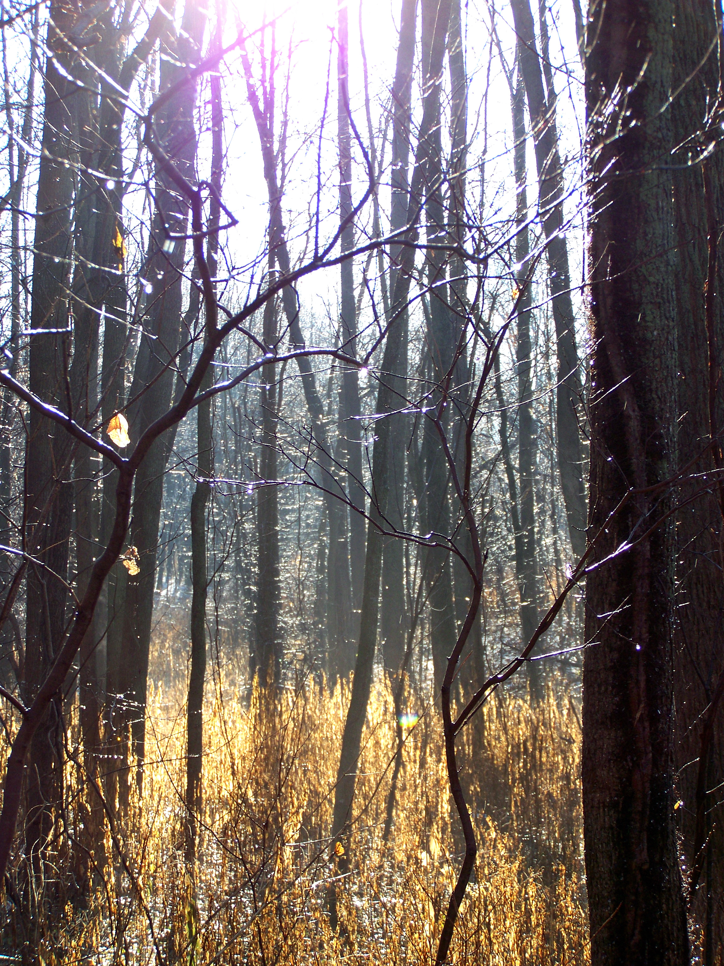
Dead Creek After an Ice Storm
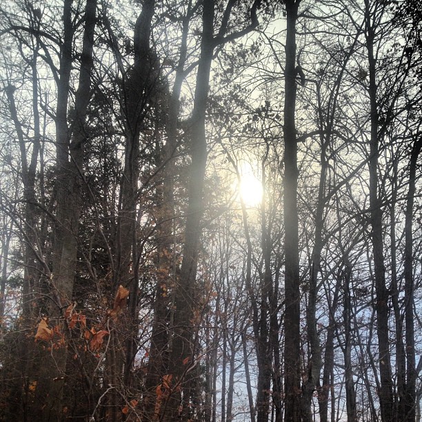
Out for a walk on a fall day..

2014-10-17 15.29.36

2014-10-17 15.05.29
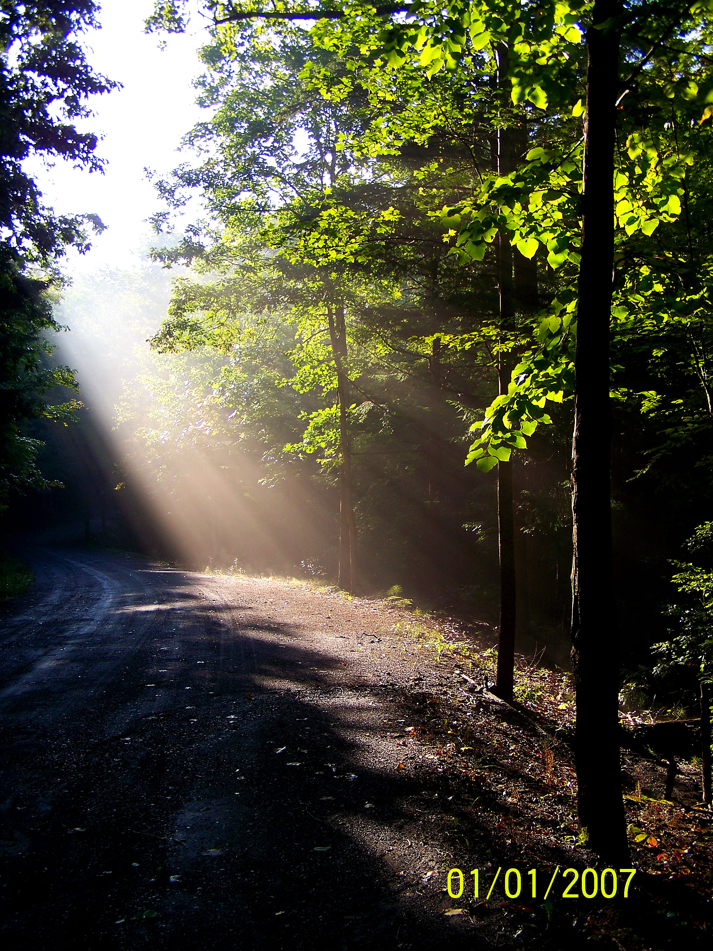
Whiskey Hollow in the Morning 2
Beaver Lake Nature Center

Snow in Cato

2014-10-17 16.12.35

2014-10-17 15.34.58

2014-10-17 15.02.04

2014-10-17 16.15.29

2014-10-17 15.35.11

2014-10-17 16.12.48

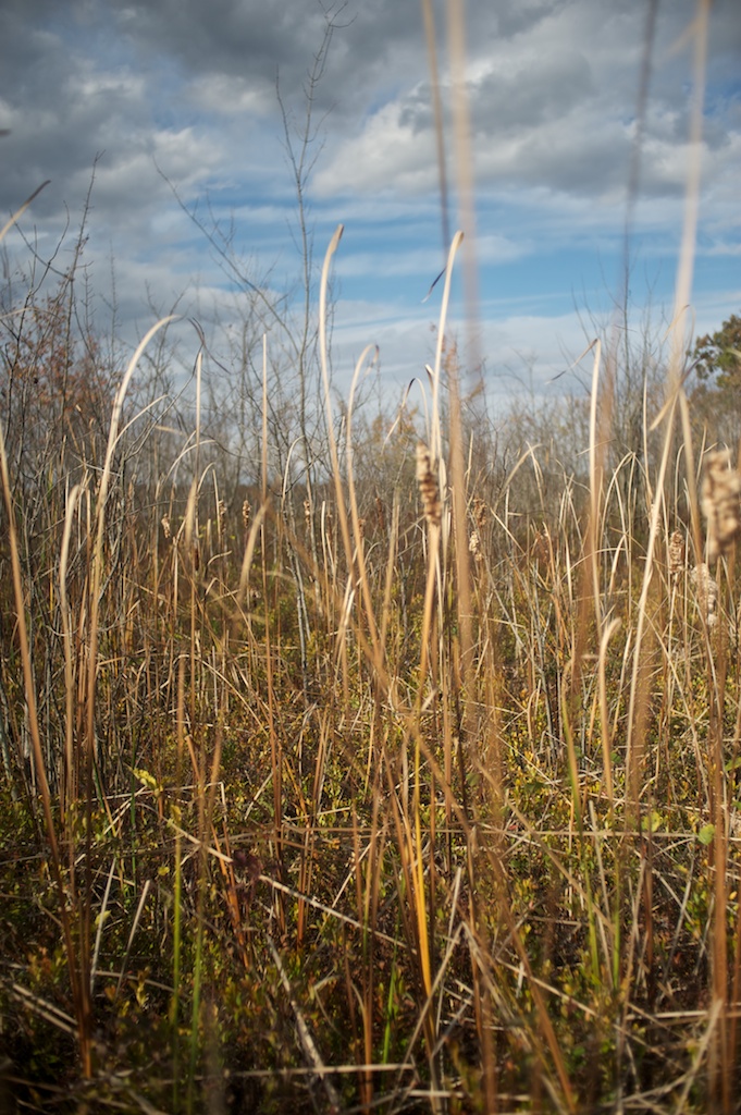
Wind-Tossed Cornstalks

2014-10-17 16.12.32
Beaver Lake Nature Center
Topographic Map of Ira, NY, USA
Find elevation by address:

Places in Ira, NY, USA:
Places near Ira, NY, USA:
Floridaville Rd, Cato, NY, USA
Cato
Cato
W Genesee Rd, Baldwinsville, NY, USA
10168 Dietzel Rd
8005 Gallagher Rd Ext
Oneil Rd, Port Byron, NY, USA
Lysander
41 N Main St
1719 W Genesee Rd
Dinglehole Road
8986 Dinglehole Rd
Peru Rd, Jordan, NY, USA
W Dead Creek Rd, Memphis, NY, USA
420 Hourglass Ln
7651 W Sorrell Hill Rd
Van Buren
Baldwinsville
46 Syracuse St
Canton Street
Recent Searches:
- Elevation of Corso Fratelli Cairoli, 35, Macerata MC, Italy
- Elevation of Tallevast Rd, Sarasota, FL, USA
- Elevation of 4th St E, Sonoma, CA, USA
- Elevation of Black Hollow Rd, Pennsdale, PA, USA
- Elevation of Oakland Ave, Williamsport, PA, USA
- Elevation of Pedrógão Grande, Portugal
- Elevation of Klee Dr, Martinsburg, WV, USA
- Elevation of Via Roma, Pieranica CR, Italy
- Elevation of Tavkvetili Mountain, Georgia
- Elevation of Hartfords Bluff Cir, Mt Pleasant, SC, USA