Elevation map of Inuvik, Unorganized, NT, Canada
Location: Canada > Northwest Territories > Inuvik Region >
Longitude: -121.70037
Latitude: 71.6238064
Elevation: 101m / 331feet
Barometric Pressure: 100KPa
Elevation Map:
Satellite Map:
Related Photos:
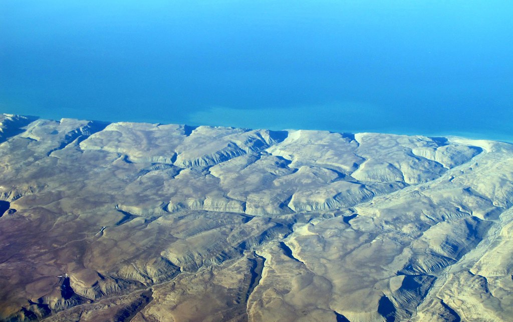
Northeastern coast of Banks Island (Inuvik, Unorganized, NT, Canada)
Topographic Map of Inuvik, Unorganized, NT, Canada
Find elevation by address:

Places in Inuvik, Unorganized, NT, Canada:
Recent Searches:
- Elevation of Corso Fratelli Cairoli, 35, Macerata MC, Italy
- Elevation of Tallevast Rd, Sarasota, FL, USA
- Elevation of 4th St E, Sonoma, CA, USA
- Elevation of Black Hollow Rd, Pennsdale, PA, USA
- Elevation of Oakland Ave, Williamsport, PA, USA
- Elevation of Pedrógão Grande, Portugal
- Elevation of Klee Dr, Martinsburg, WV, USA
- Elevation of Via Roma, Pieranica CR, Italy
- Elevation of Tavkvetili Mountain, Georgia
- Elevation of Hartfords Bluff Cir, Mt Pleasant, SC, USA