Elevation map of Interstate 91, I-91, Massachusetts, USA
Location: United States > Massachusetts > Hampden County > West Springfield >
Longitude: -72.637198
Latitude: 42.1405431
Elevation: 49m / 161feet
Barometric Pressure: 101KPa
Elevation Map:
Satellite Map:
Related Photos:
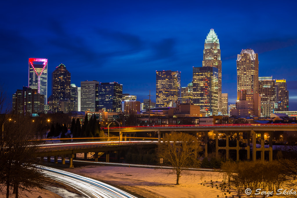
Charlotte Skyline
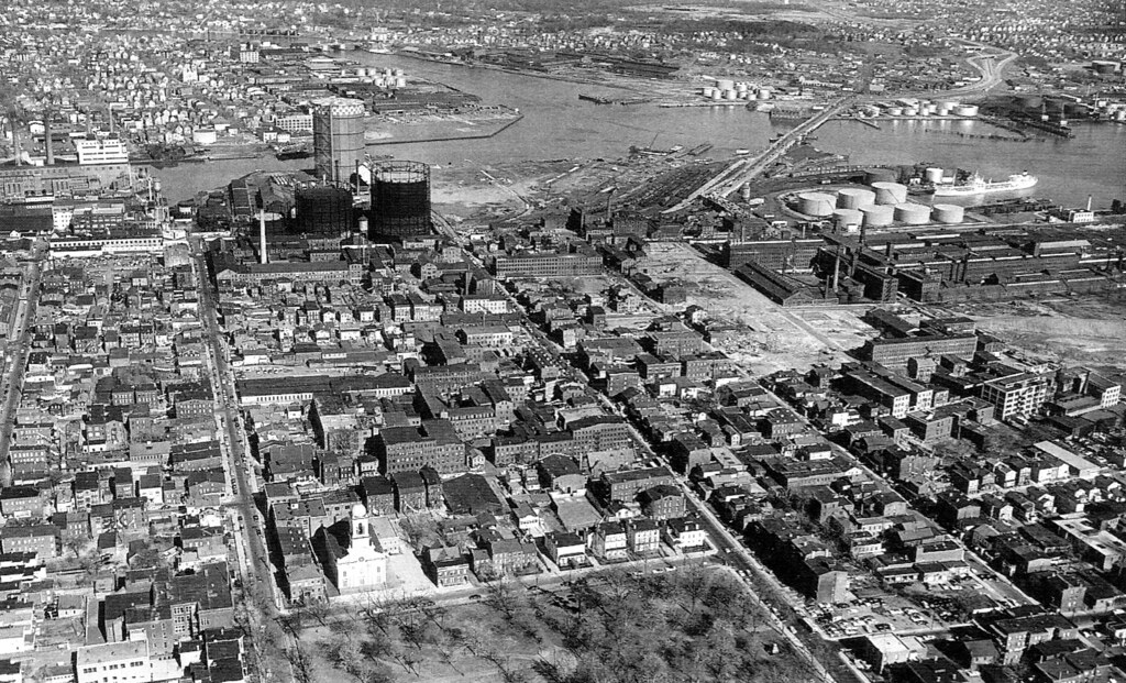
The old industrial Wooster Square neighborhood before it was completely eviscerated by construction of the Connecticut Turpike and I-91. New Haven, Connecticut. 1950
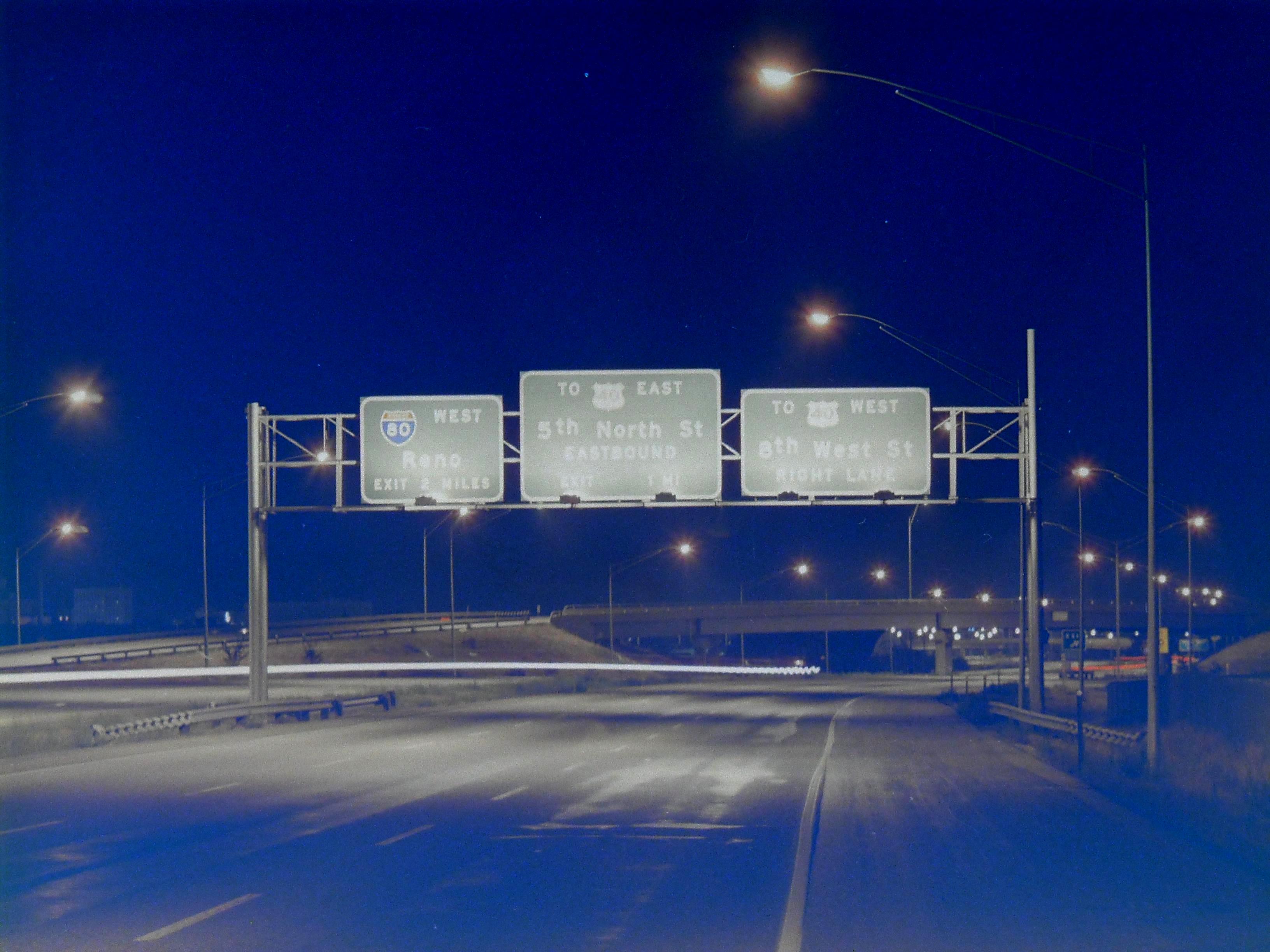
southbound I-15 at 1000 North, September 1969
Seattle Viaduct
Darryl (Stranger 5/100)

How You Can Attend Autozone In Harrison Ar With Minimal Budget | autozone in harrison ar

The Five Steps Needed For Putting Autozone Carmel Mountain Into Action | autozone carmel mountain
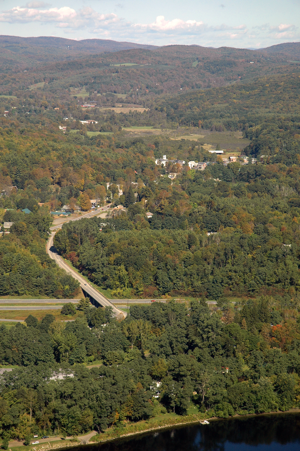
Holyoke foliage panorama

The Blues Brothers (1980) John Landis, filming locations

27 Things You Didn’t Know About Autozone Norfolk Nebraska | autozone norfolk nebraska

91.MegaBus.WDC.NYC.24June2018
Alley view - Does anyone else miss having alleys?
Eastern Woodlands
094-067 INTERSTATE 215 CONSTRUCTION - LAS VEGAS BLVD OVER CROSSING - LAS VEGAS, NEVADA - 1994
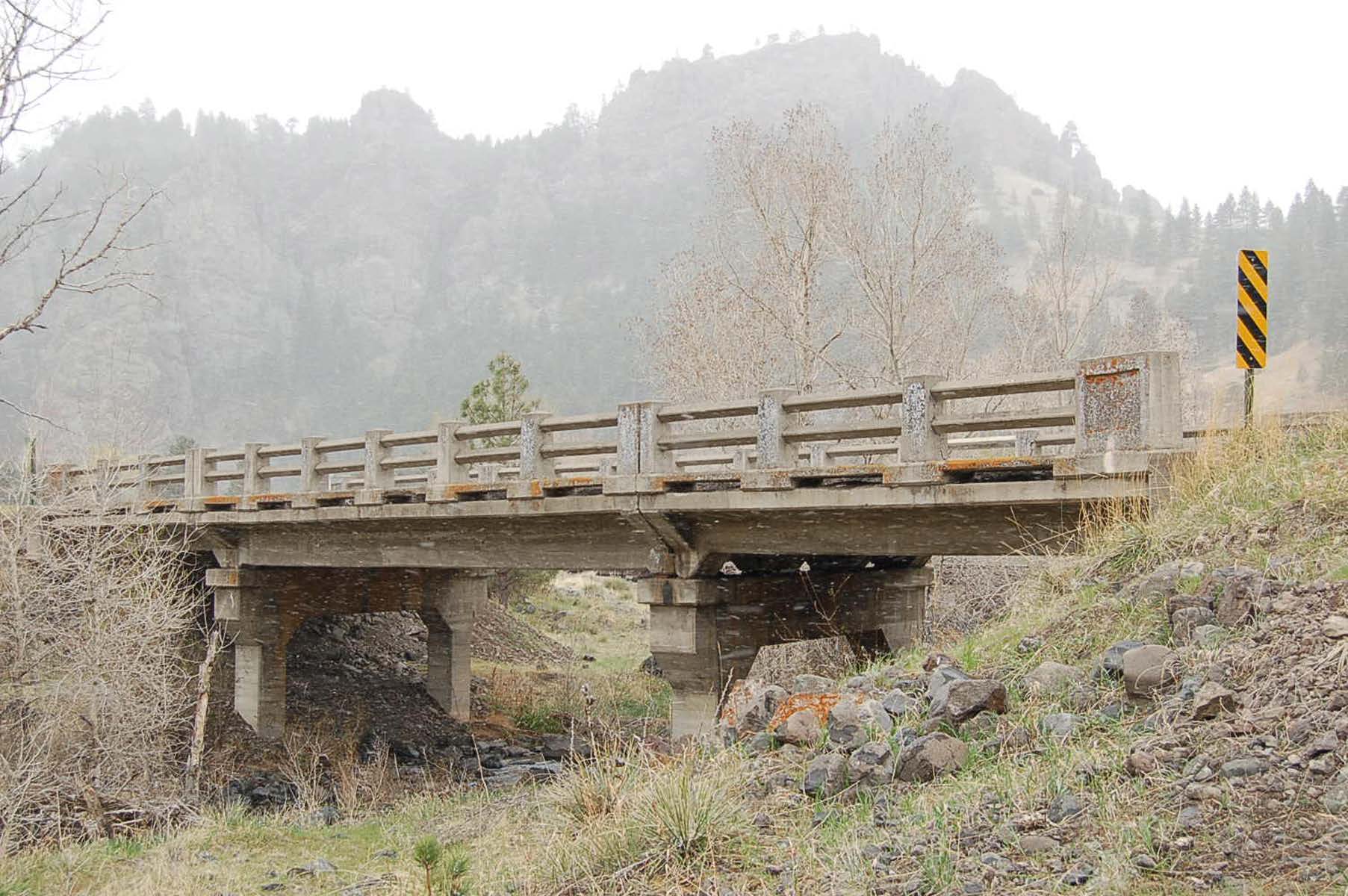
Dexter Coffin bridge carrying I-91 traffic...
094-064 INTERSTATE 215 CONSTRUCTION - LAS VEGAS, NEVADA - 1994
Image from page 91 of "Interstate medical journal" (1917)
Aerial Photo of Putney Town Center

091/365: Friday, April 1, 2011: Osprey (Pandion haliaetus) at York River State Park
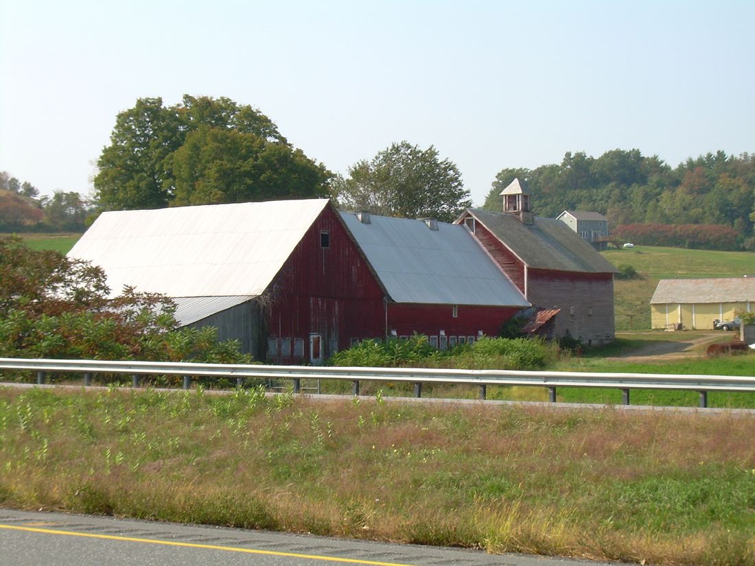
Barn 27. N.F.O.
Interstate 5 Leaving OC -- Back to the Past at the LA County Line - Brake, Baby, Brake (at least until 2019)
got any fruits or vegetables? yermo, ca. 2014.
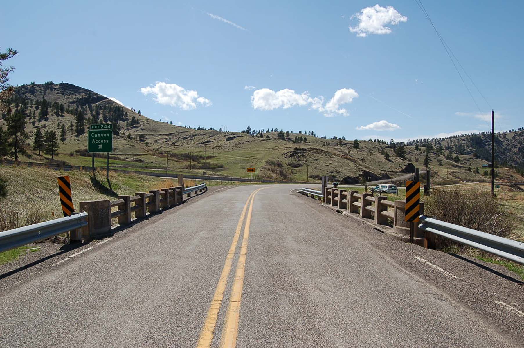
Old U.S. Highway 91 Historic District
Highway of Life
Clark Reservoir11.jpg
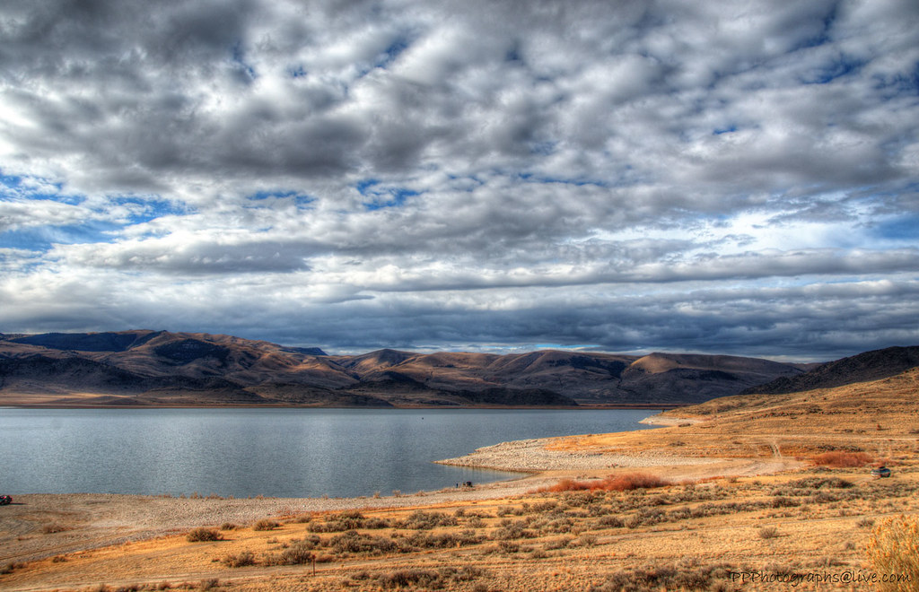
Clark reservoir Montana
032113-012F
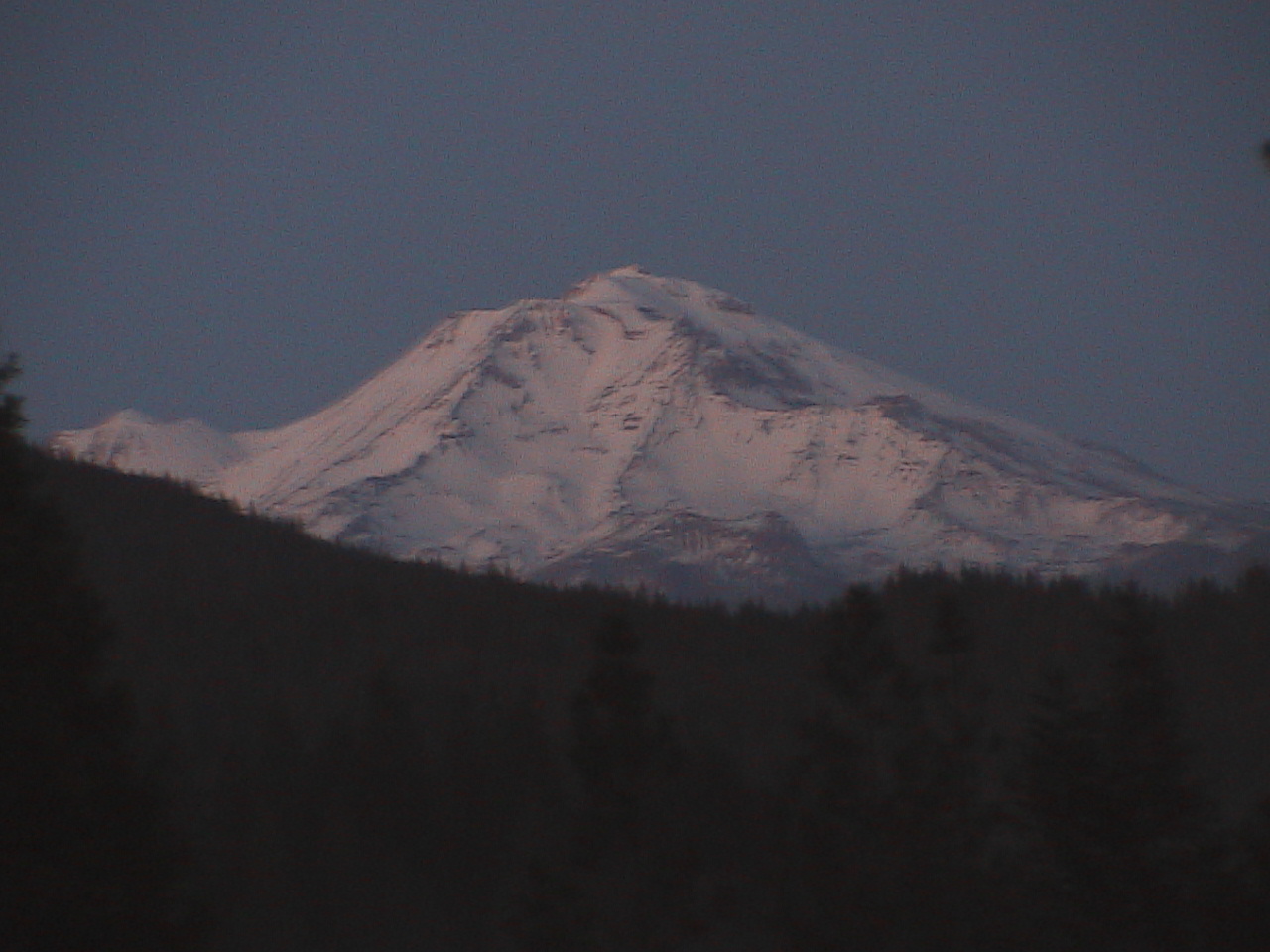
Mount Shasta, California

Connecticut River from Interstate 91 on Vermont-New Hampshire Border
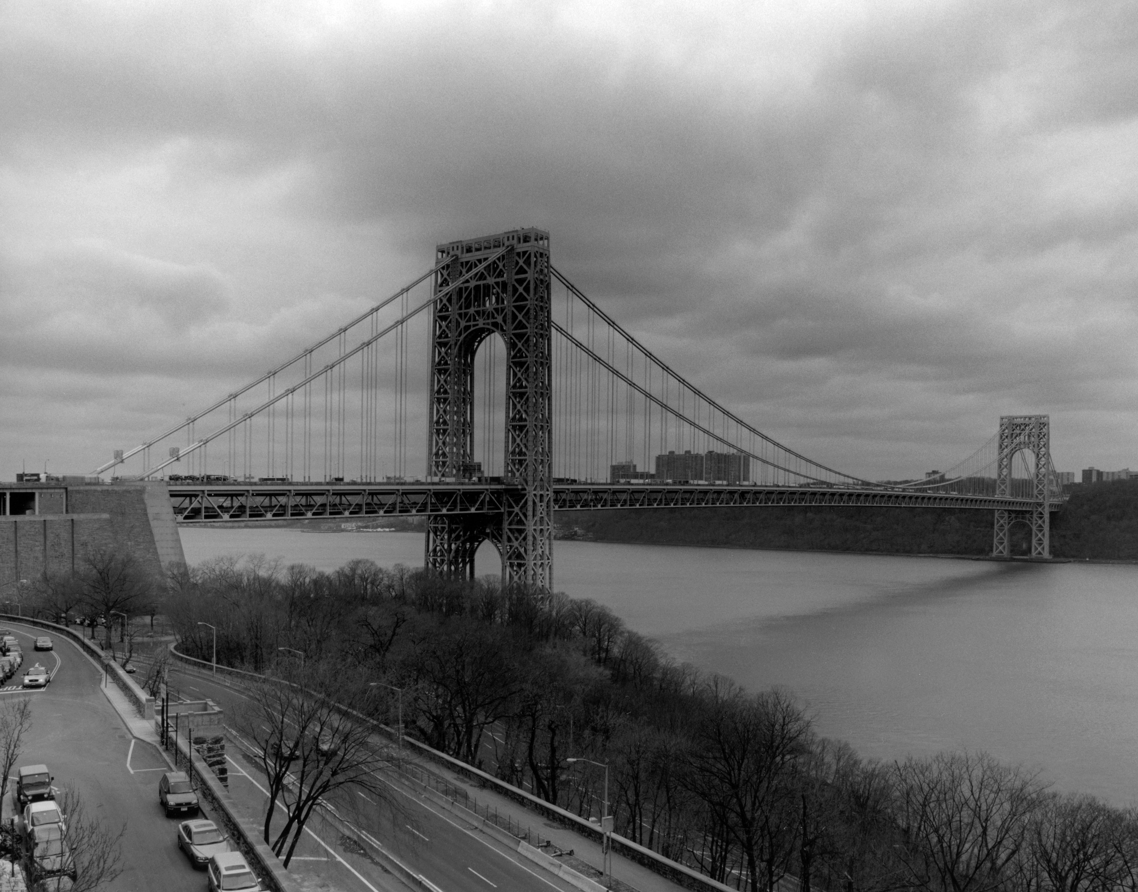
George Washington Bridge: distant view looking southwest on New York state side of the river
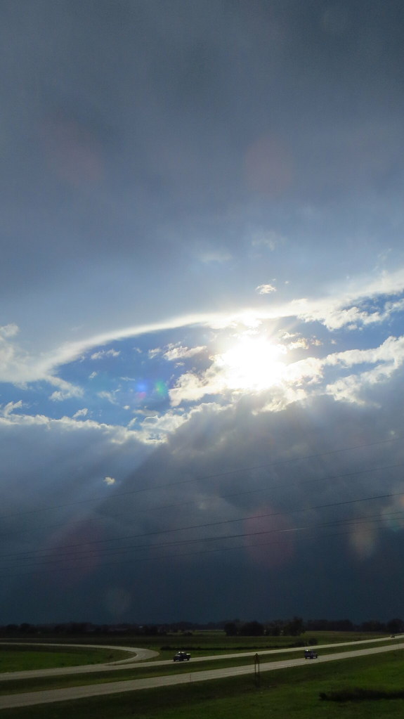
Rain Cloud over Prairie
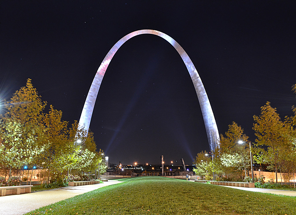
Gateway Arch National Park
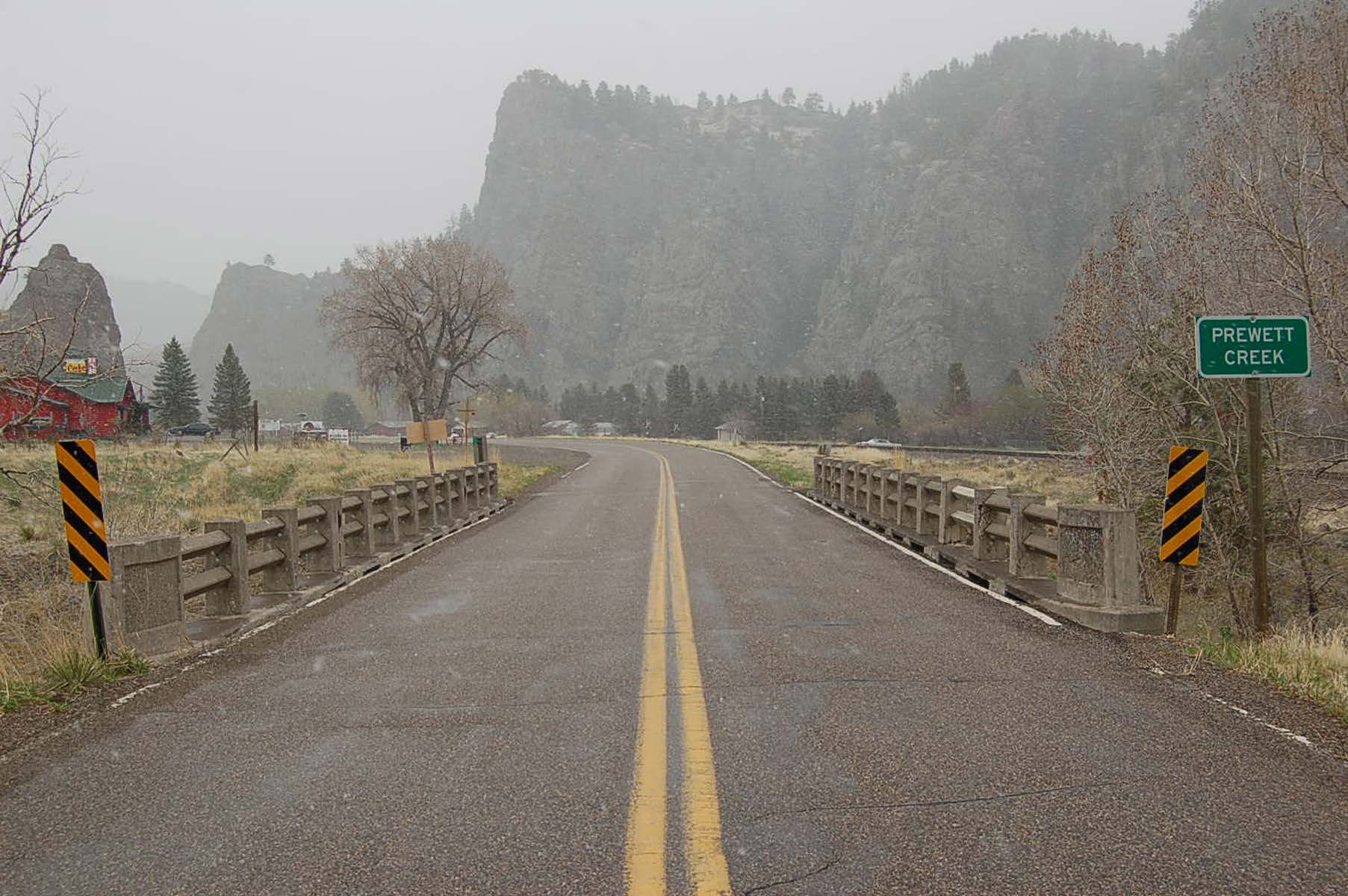
Old U.S. Highway 91 Historic District
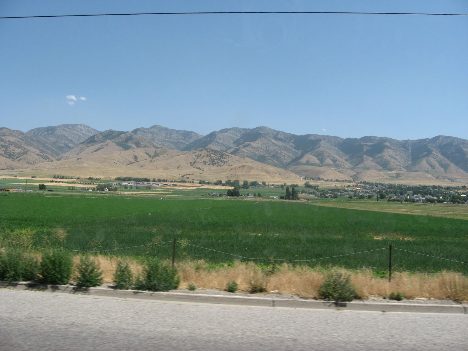
U.S. Route 91 Near Logan, Utah

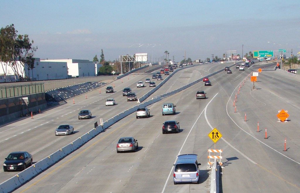
Interstate 215 Northbound Escondido - Devore Freeway San Bernardino and Barstow 1/4 = 0.25 mile two center right lanes approaches at Exit 34B - State Highway Junction Route CA-91 Riverside Freeway WEST Riverside - Corona - Beach Cities two right lanes

Old U.S. Highway 91 Historic District
U.S. 89 Approaching U.S. 6 near Spanish Fork, Utah
U.S. 191, near Chiricahua National Monument (2)
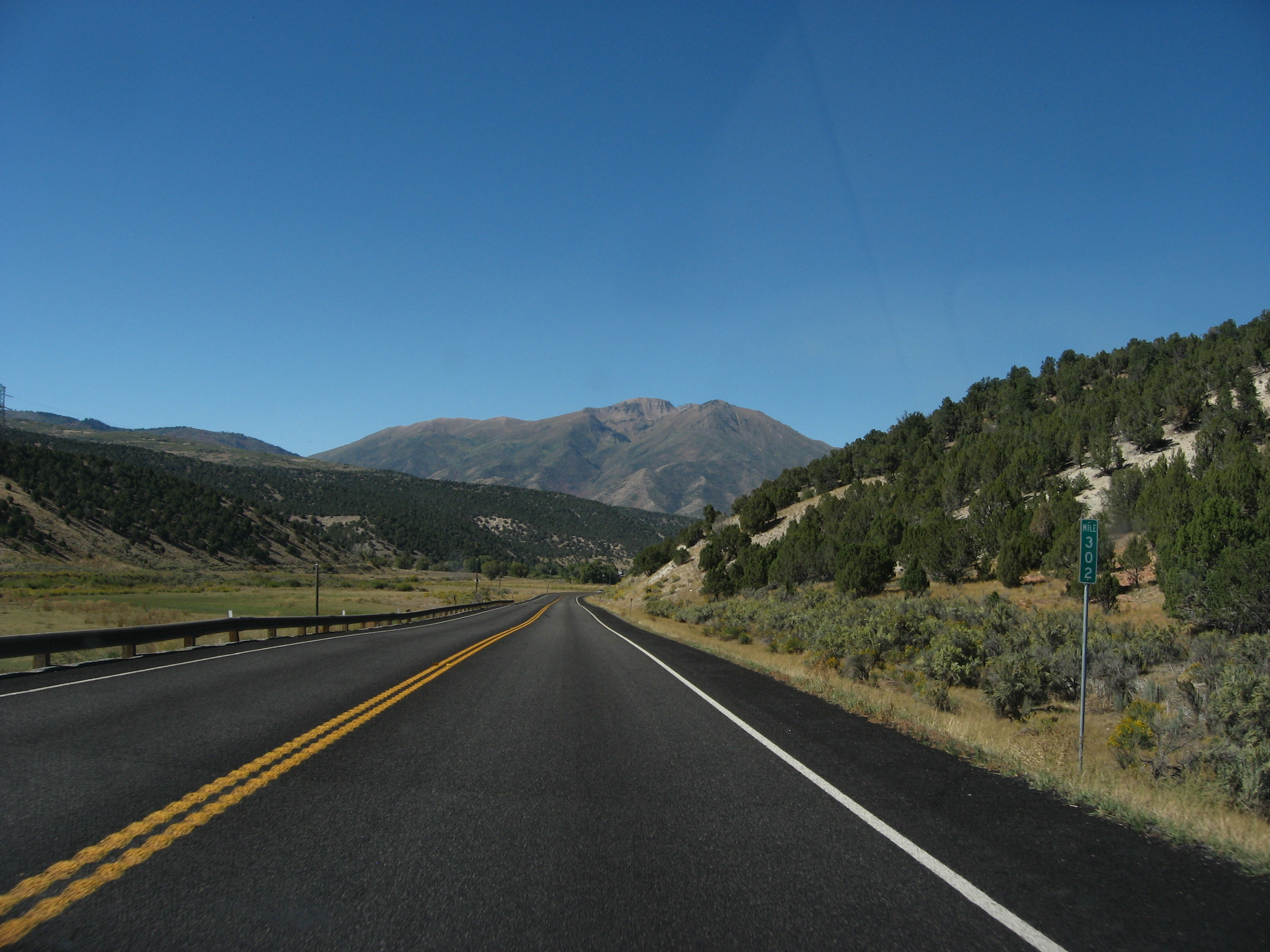
U.S. Route 89 Near Interstate 70, Utah
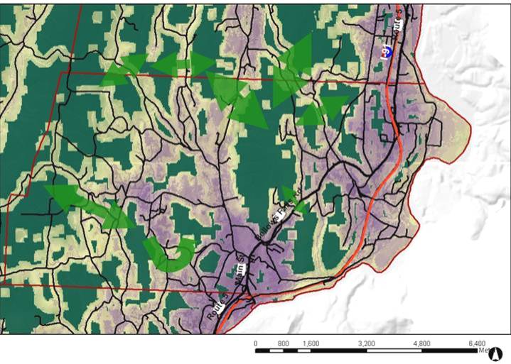
Map of Putney Widlife Habitat and Corridors
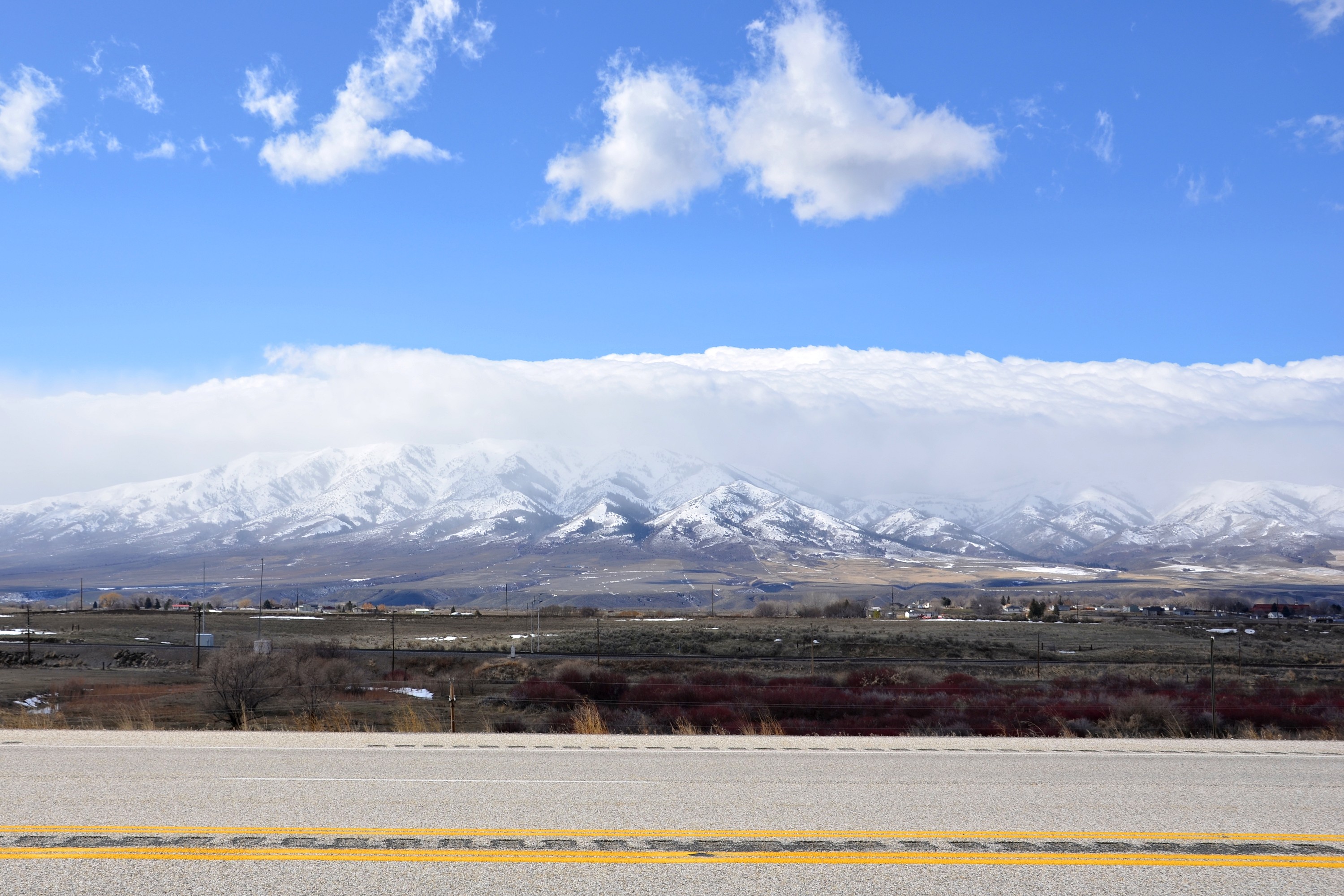
Interstate 91 - Vermont
Old U.S. Highway 91 Historic District
Topographic Map of Interstate 91, I-91, Massachusetts, USA
Find elevation by address:

Places near Interstate 91, I-91, Massachusetts, USA:
977 Piper Rd
18 Clayton Dr
Costco Wholesale
Jeffrey Lane
Jeffrey Lane
152 Jeffrey Ln
Macy's
Wwlp-22news
Lenny's Way
Chicopee
1 Springfield St
50 Virginia Ave
70 Virginia Ave
Interstate 391
359 E Gooseberry Rd
134 Springfield St
278 Ely Ave
188 Virginia Ave
Hampden County
93 Gardner Rd
Recent Searches:
- Elevation of Corso Fratelli Cairoli, 35, Macerata MC, Italy
- Elevation of Tallevast Rd, Sarasota, FL, USA
- Elevation of 4th St E, Sonoma, CA, USA
- Elevation of Black Hollow Rd, Pennsdale, PA, USA
- Elevation of Oakland Ave, Williamsport, PA, USA
- Elevation of Pedrógão Grande, Portugal
- Elevation of Klee Dr, Martinsburg, WV, USA
- Elevation of Via Roma, Pieranica CR, Italy
- Elevation of Tavkvetili Mountain, Georgia
- Elevation of Hartfords Bluff Cir, Mt Pleasant, SC, USA