Elevation of Inglewood, NE, USA
Location: United States > Nebraska > Dodge County > Platte >
Longitude: -96.501414
Latitude: 41.4163886
Elevation: 364m / 1194feet
Barometric Pressure: 97KPa
Elevation Map:
Satellite Map:
Related Photos:

UP 844 - Ames NE

Springtime thunderstorm in Nebraska.

End of the day in #Nebraska. #whereintheworldisdean #explorewithdean #ruralamerica #trees #travel #instacool #instaphoto #picoftheday #photography #amazing #america #adventure #allshots_ #sunsets #fun #followme #grass #hope #learning #cool #clouds #beauty
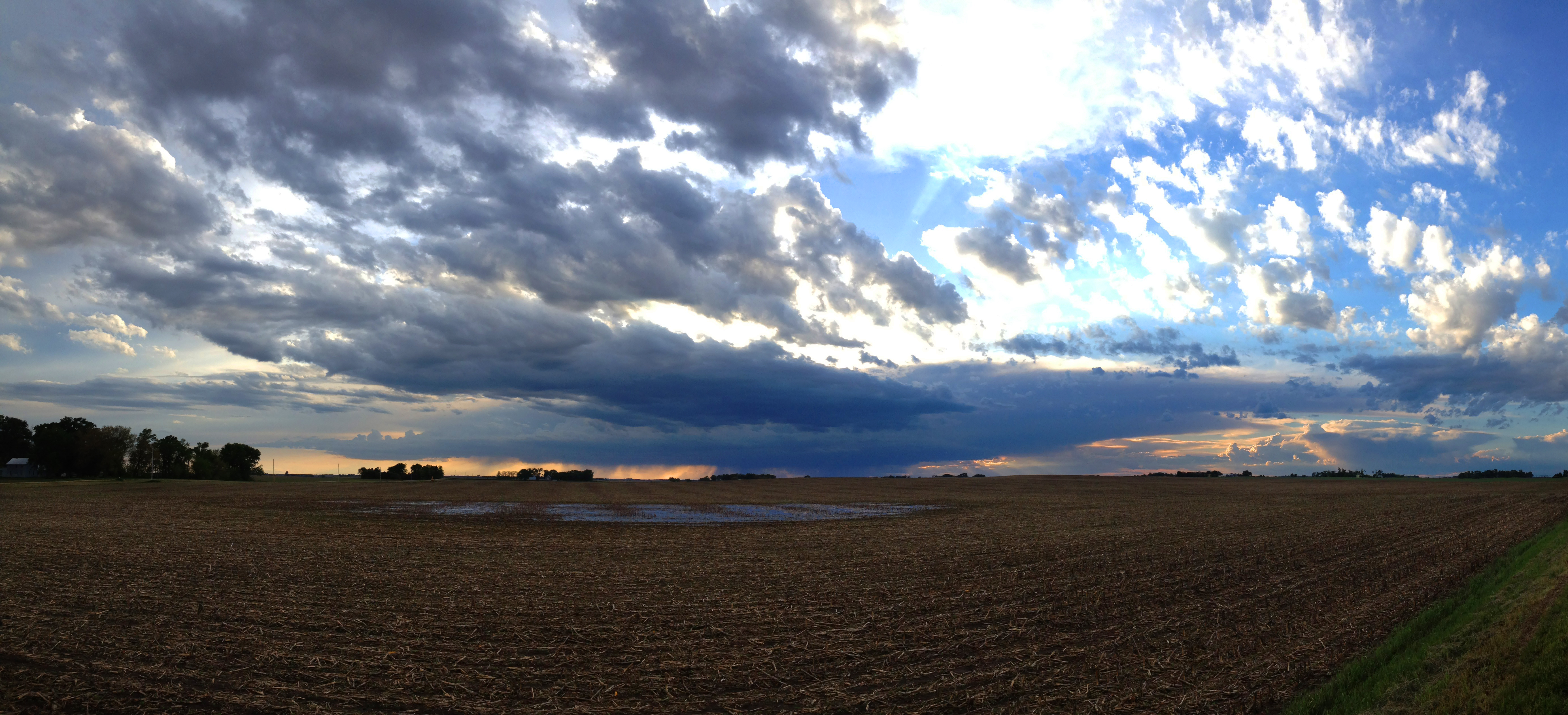
Farmland Cloudscape

_DSC8195 (1)
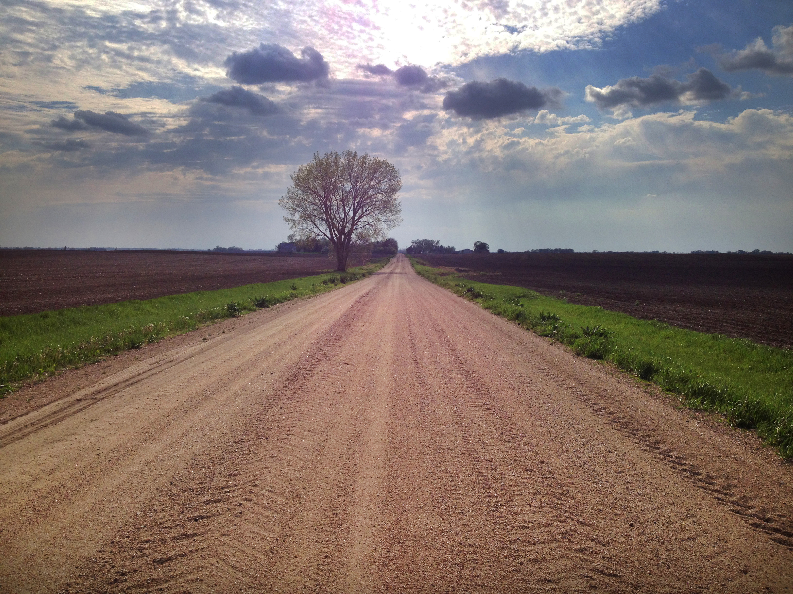
Spring Tree

The middle of nowhere. #scotia #nebraska #farm #field

April 2011 Desktop

Through the Trees-3 & 2

The Platte River is running full near Fremont Nebraska. #rivers #followme #explorewithdean #whereintheworldisdean #ruralamerica #america #america #beauty #nature
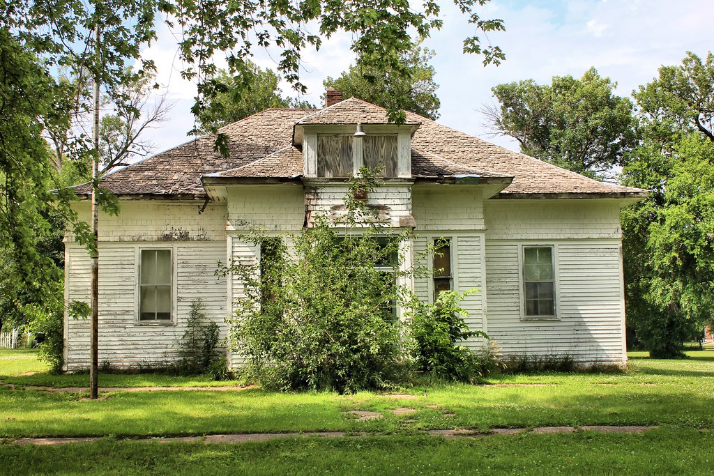
Public School - Colon, NE

Bunnies II

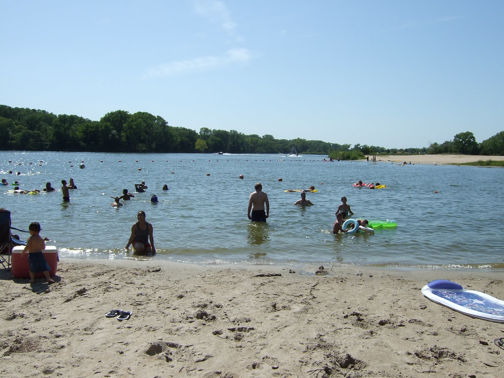
Fremont Lakes NE

Nebraska Lake

Bunnies I

Bunnies III
DSCF0001.JPG
Topographic Map of Inglewood, NE, USA
Find elevation by address:

Places in Inglewood, NE, USA:
Places near Inglewood, NE, USA:
W Prospect Ave, Inglewood, NE, USA
1050 S Broad St
1155 S Broad St
950 S Broad St
1225 Us-77
1325 Us-77
1525 Us-77
2525 Us-77
821 S Broad St
1510 S Main St
750 S Broad St
650 Us-77
450 S H St
350 S H St
635 Schneider St
Fremont
N Broad St, Fremont, NE, USA
119 N Bell St
Midland University
1334 E 1st St
Recent Searches:
- Elevation of Corso Fratelli Cairoli, 35, Macerata MC, Italy
- Elevation of Tallevast Rd, Sarasota, FL, USA
- Elevation of 4th St E, Sonoma, CA, USA
- Elevation of Black Hollow Rd, Pennsdale, PA, USA
- Elevation of Oakland Ave, Williamsport, PA, USA
- Elevation of Pedrógão Grande, Portugal
- Elevation of Klee Dr, Martinsburg, WV, USA
- Elevation of Via Roma, Pieranica CR, Italy
- Elevation of Tavkvetili Mountain, Georgia
- Elevation of Hartfords Bluff Cir, Mt Pleasant, SC, USA