Elevation of Indian Creek Campground, Indian Creek Rd, Anderson, MO, USA
Location: United States > Missouri > Mcdonald County > Anderson East Township > Anderson >
Longitude: -94.434020
Latitude: 36.6500635
Elevation: 277m / 909feet
Barometric Pressure: 98KPa
Elevation Map:
Satellite Map:
Related Photos:
Quite the View

Ginger_Blue at Ginger Blue
Blackstock Bridge-Deck View
Blackstock Bridge-Side View
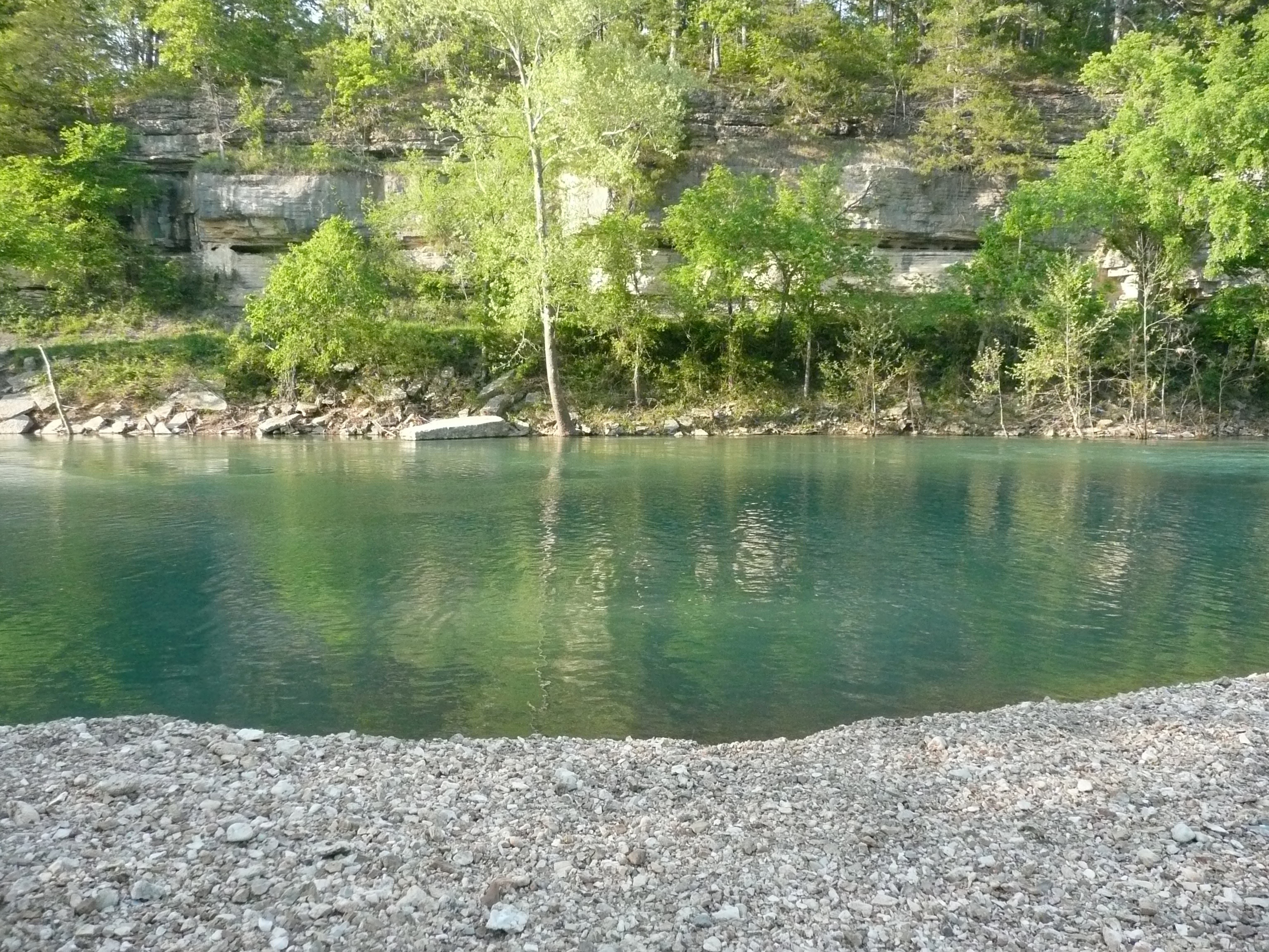
Buffalo Creek-Deck View
Fall Leaves

110716-01 (2011-07-16) - 0001
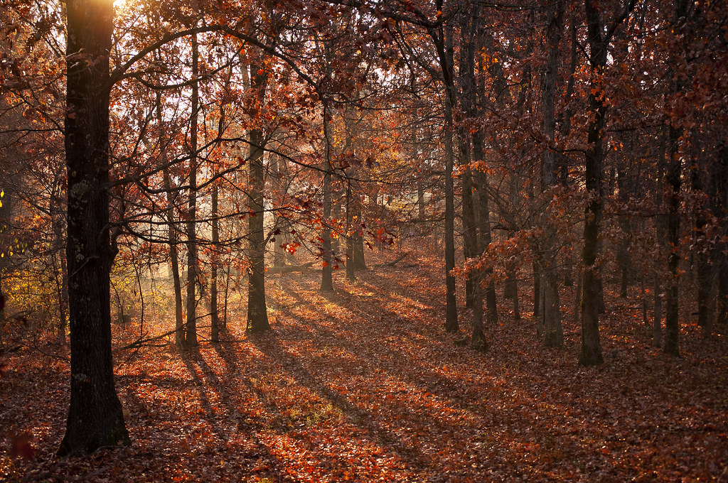
Ozark Autumn Sunrise 2
Shelf rocks
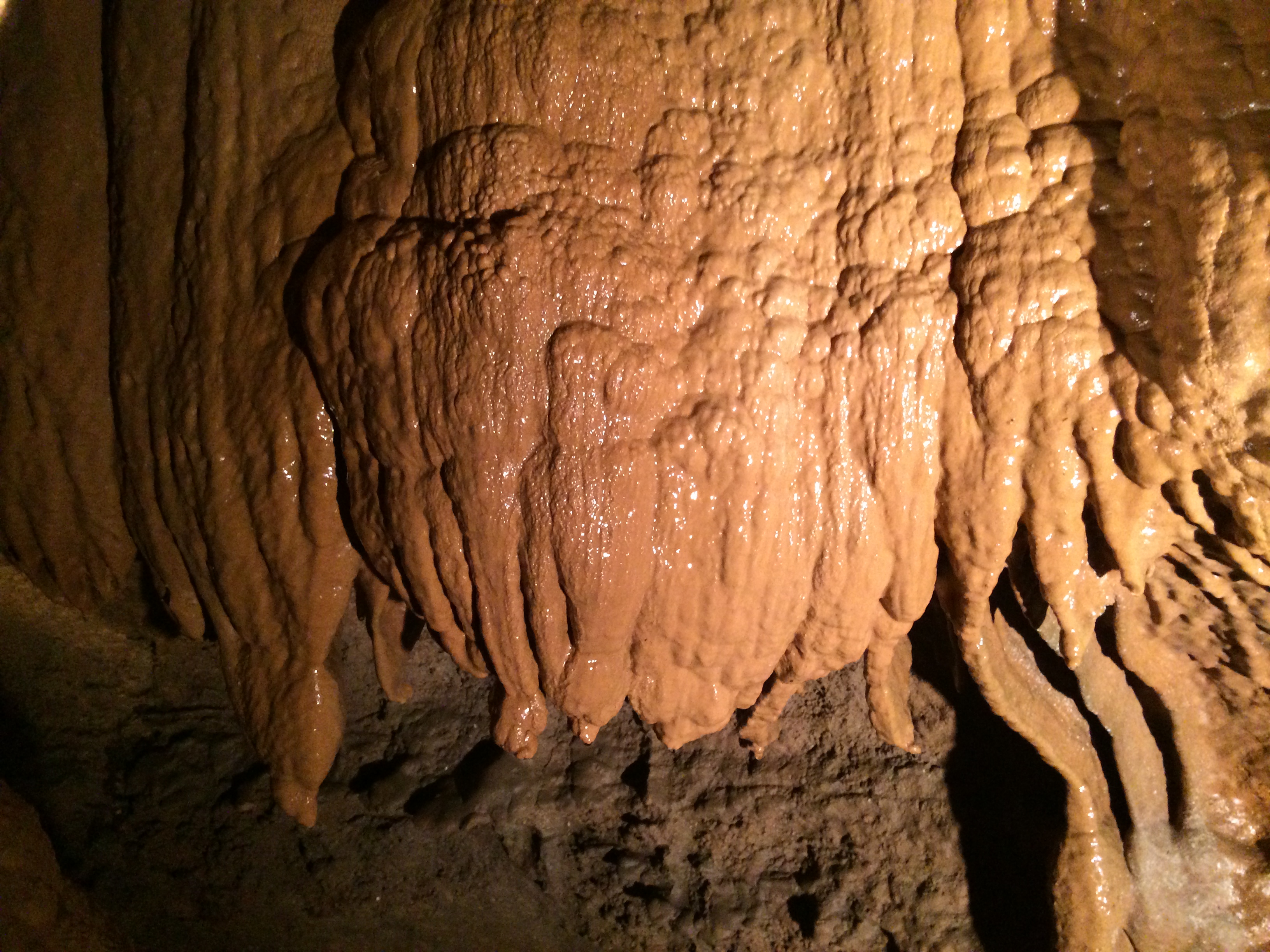
Bluff Dwellers Cave

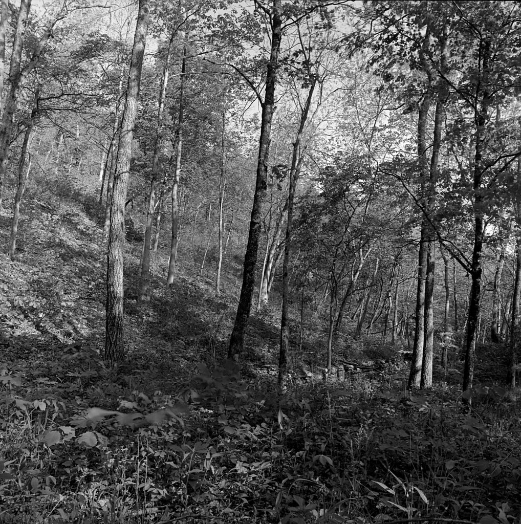
Shade and Sun
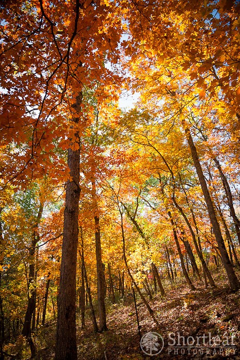
Sugary Trees

110716-01 (2011-07-16) - 0010
110508-01 (2011-05-08) - 0008
Lanagan, Missouri

Lanagan, Missouri
Topographic Map of Indian Creek Campground, Indian Creek Rd, Anderson, MO, USA
Find elevation by address:

Places near Indian Creek Campground, Indian Creek Rd, Anderson, MO, USA:
79 Rivers Edge Ln
Harps Food Stores
Anderson East Township
Anderson
47 Blackhawk Rd
Eagle Nest Ln, Noel, MO, USA
Pineville North Township
Mount Shira Road
Pineville
State Hwy H, Noel, MO, USA
Mcdonald County
May
18735 Jaguar Rd
18735 Jaguar Rd
Buffalo Township
West Benton Township
Farmers Insurance - Miroslava Perez
Ruan Transportation Management Systems
844 Landis Rd
High Street Christian Church
Recent Searches:
- Elevation of Corso Fratelli Cairoli, 35, Macerata MC, Italy
- Elevation of Tallevast Rd, Sarasota, FL, USA
- Elevation of 4th St E, Sonoma, CA, USA
- Elevation of Black Hollow Rd, Pennsdale, PA, USA
- Elevation of Oakland Ave, Williamsport, PA, USA
- Elevation of Pedrógão Grande, Portugal
- Elevation of Klee Dr, Martinsburg, WV, USA
- Elevation of Via Roma, Pieranica CR, Italy
- Elevation of Tavkvetili Mountain, Georgia
- Elevation of Hartfords Bluff Cir, Mt Pleasant, SC, USA