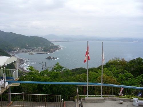
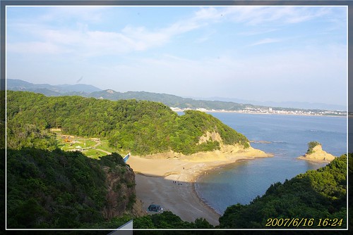
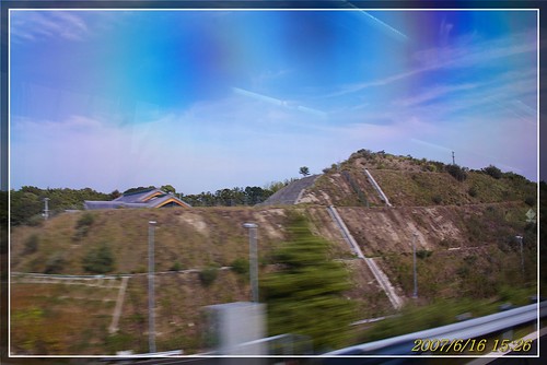
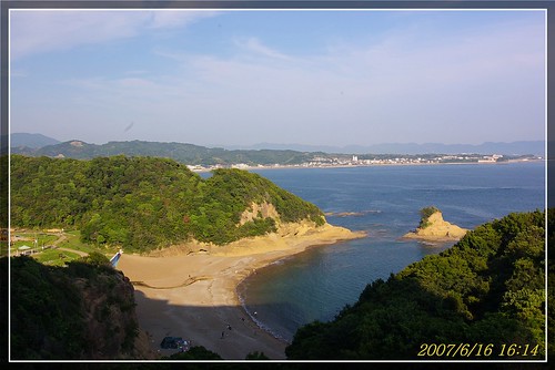
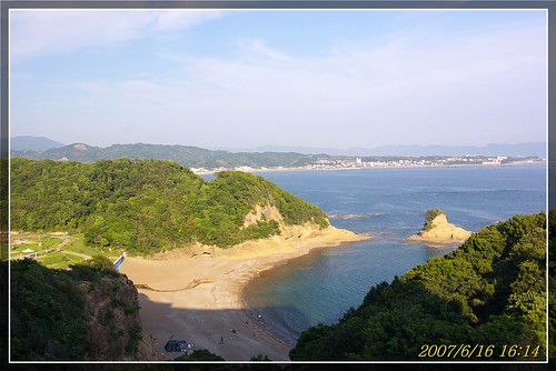
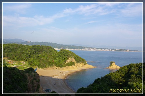
Elevation of Inami, Hidaka District, Wakayama Prefecture, Japan
Location: Japan > Wakayama Prefecture > Hidaka District >
Longitude: 135.218247
Latitude: 33.8183672
Elevation: 5m / 16feet
Barometric Pressure: 101KPa
Related Photos:
Topographic Map of Inami, Hidaka District, Wakayama Prefecture, Japan
Find elevation by address:

Places in Inami, Hidaka District, Wakayama Prefecture, Japan:
Places near Inami, Hidaka District, Wakayama Prefecture, Japan:
Inami, Inami-chō, Hidaka-gun, Wakayama-ken -, Japan
-4 Tai, Mihama-chō, Hidaka-gun, Wakayama-ken -, Japan
Koguma, Hidakagawa-chō, Hidaka-gun, Wakayama-ken -, Japan
Hidakagawa
Minabe
- Wada, Mihama-chō, Hidaka-gun, Wakayama-ken -, Japan
Shiba, Minabe-chō, Hidaka-gun, Wakayama-ken -, Japan
Mihama
Taie, Hidaka-chō, Hidaka-gun, Wakayama-ken -, Japan
Hidaka
Hidaka District
Yura
Sato, Yura-chō, Hidaka-gun, Wakayama-ken -, Japan
Kamiya, Yura-chō, Hidaka-gun, Wakayama-ken -, Japan
Hiro, Hirogawa-chō, Arida-gun, Wakayama-ken -, Japan
Hirogawa
Arida District
Shimotsuno, Aridagawa-chō, Arida-gun, Wakayama-ken -, Japan
Aridagawa
50 Minoshima
Recent Searches:
- Elevation of Corso Fratelli Cairoli, 35, Macerata MC, Italy
- Elevation of Tallevast Rd, Sarasota, FL, USA
- Elevation of 4th St E, Sonoma, CA, USA
- Elevation of Black Hollow Rd, Pennsdale, PA, USA
- Elevation of Oakland Ave, Williamsport, PA, USA
- Elevation of Pedrógão Grande, Portugal
- Elevation of Klee Dr, Martinsburg, WV, USA
- Elevation of Via Roma, Pieranica CR, Italy
- Elevation of Tavkvetili Mountain, Georgia
- Elevation of Hartfords Bluff Cir, Mt Pleasant, SC, USA


