Elevation map of In Amenas, Algeria
Longitude: 9.576449
Latitude: 28.038478
Elevation: 554m / 1818feet
Barometric Pressure: 95KPa
Elevation Map:
Satellite Map:
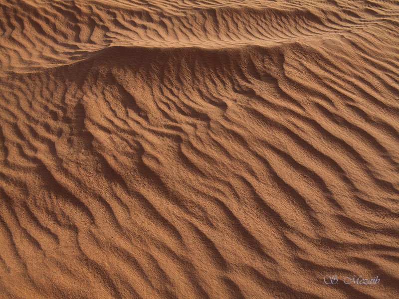
Related Photos:

IMG_0581

IMG_0715
IMG_0723

IMG_0741

IMG_0722

IMG_0784

IMG_0721

IMG_0717

IMG_0716

IMG_0736

IMG_0790

IMG_0726

IMG_0718

IMG_0727
Topographic Map of In Amenas, Algeria
Find elevation by address:

Recent Searches:
- Elevation of Corso Fratelli Cairoli, 35, Macerata MC, Italy
- Elevation of Tallevast Rd, Sarasota, FL, USA
- Elevation of 4th St E, Sonoma, CA, USA
- Elevation of Black Hollow Rd, Pennsdale, PA, USA
- Elevation of Oakland Ave, Williamsport, PA, USA
- Elevation of Pedrógão Grande, Portugal
- Elevation of Klee Dr, Martinsburg, WV, USA
- Elevation of Via Roma, Pieranica CR, Italy
- Elevation of Tavkvetili Mountain, Georgia
- Elevation of Hartfords Bluff Cir, Mt Pleasant, SC, USA