Elevation of Imintanoute, Morocco
Location: Morocco > Marrakesh-tensift-el Haouz > Chichaoua >
Longitude: -8.8457977
Latitude: 31.1719751
Elevation: 914m / 2999feet
Barometric Pressure: 91KPa
Elevation Map:
Satellite Map:
Related Photos:
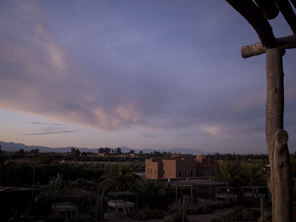
Fellah view
Morocco-2015-0837

Morocco-2015-0838
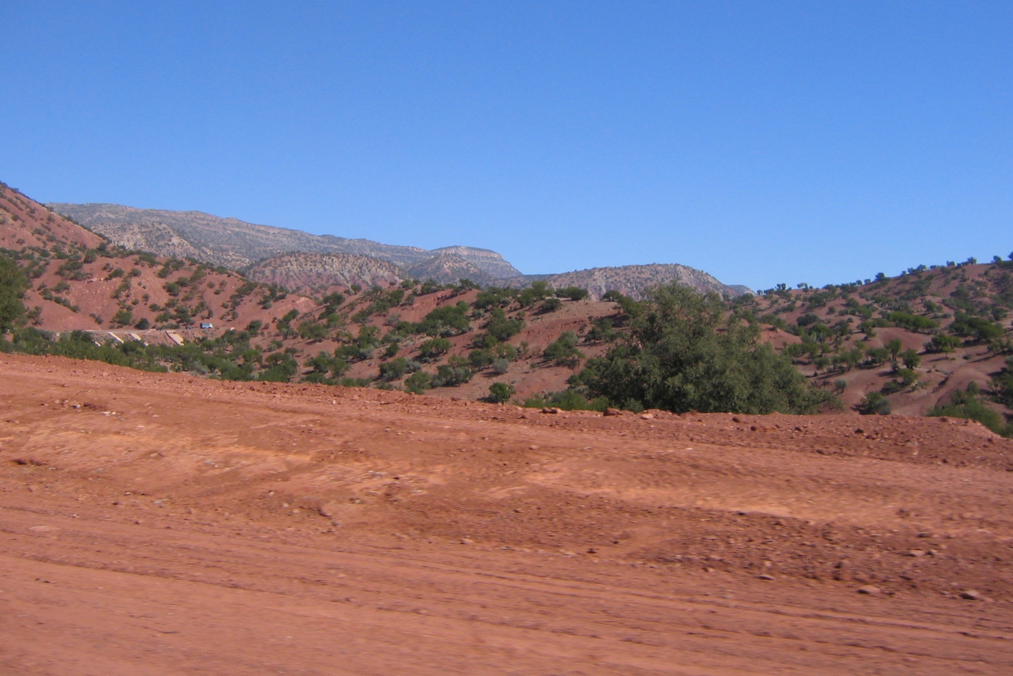
The hills around Marrakesh - 3 - 2005-02-02 at 22-40-33 - Version 2
20131222-3430

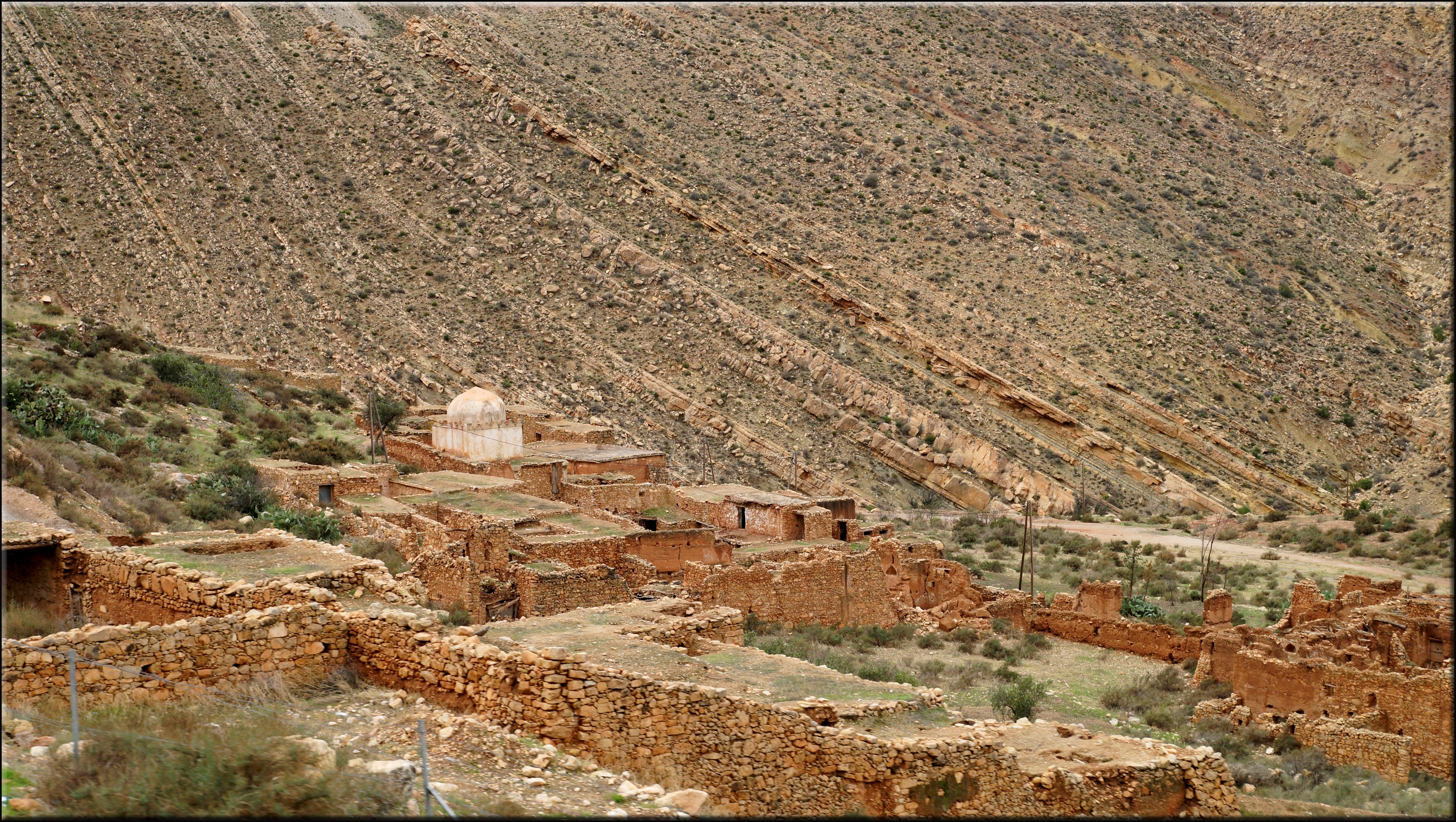
trockene Dörfer auf den Hügeln
20131222-3418

Fellah sun rise
Fellah swimming pool
Fellah Door

Fellah Art
Fellah Sign

Fellah Quirk

Fellah Quote
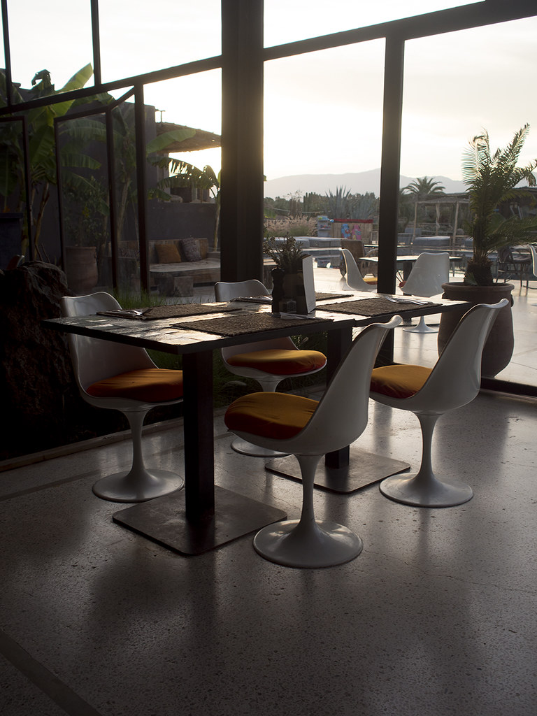
Fellah restaurant

Fellah Bathroom
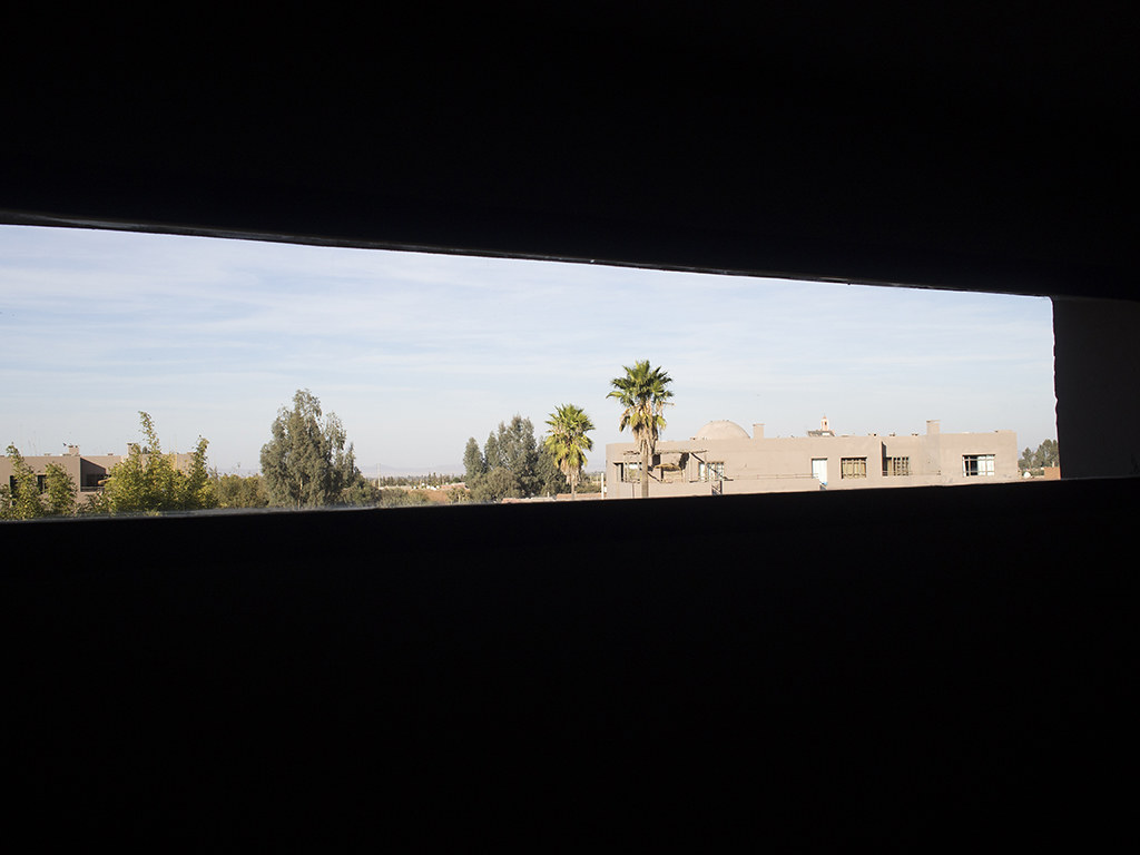
Fellah window

Fellah Bedroom
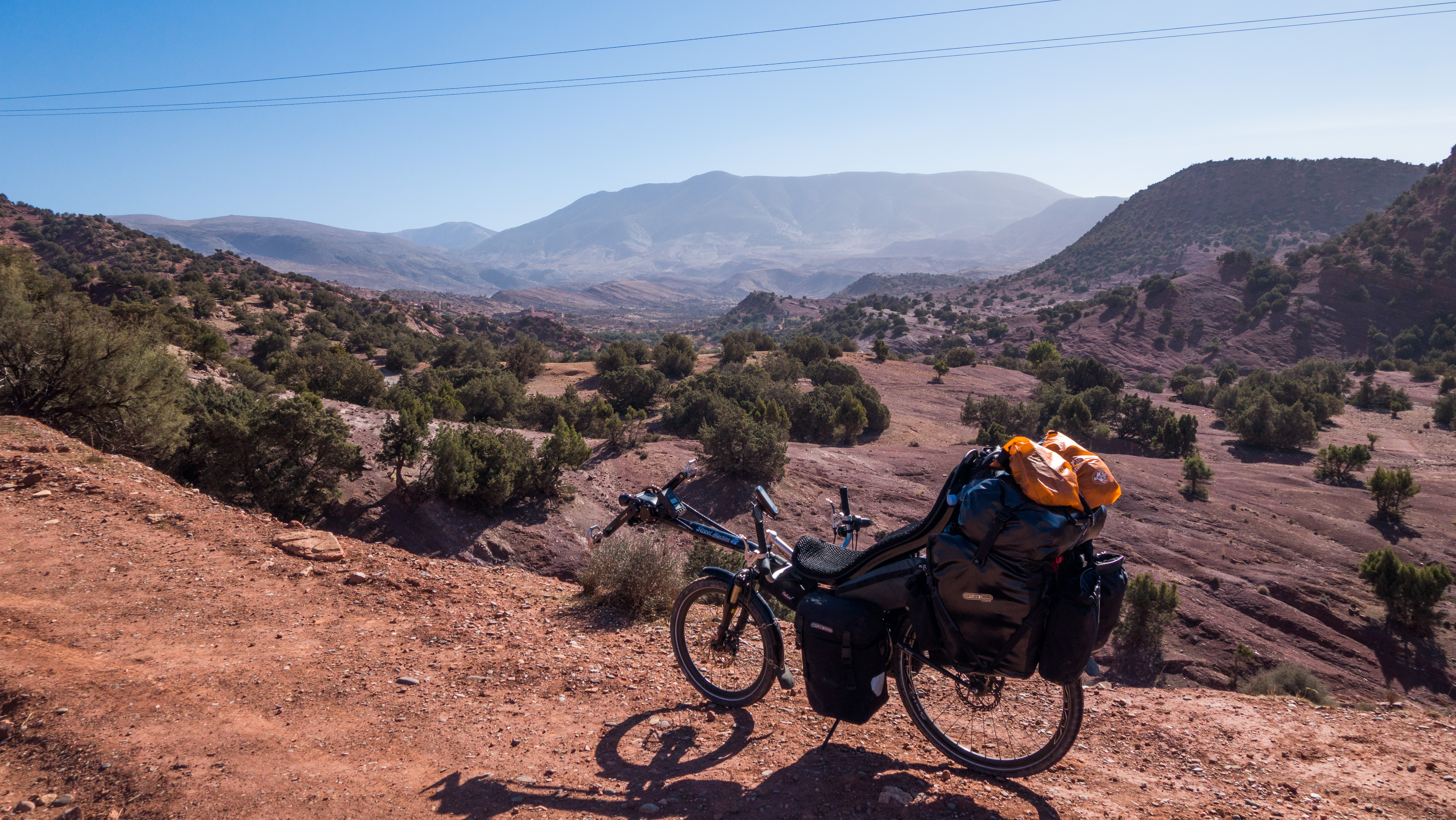
Atlas mountains village
Topographic Map of Imintanoute, Morocco
Find elevation by address:

Places near Imintanoute, Morocco:
Recent Searches:
- Elevation of Corso Fratelli Cairoli, 35, Macerata MC, Italy
- Elevation of Tallevast Rd, Sarasota, FL, USA
- Elevation of 4th St E, Sonoma, CA, USA
- Elevation of Black Hollow Rd, Pennsdale, PA, USA
- Elevation of Oakland Ave, Williamsport, PA, USA
- Elevation of Pedrógão Grande, Portugal
- Elevation of Klee Dr, Martinsburg, WV, USA
- Elevation of Via Roma, Pieranica CR, Italy
- Elevation of Tavkvetili Mountain, Georgia
- Elevation of Hartfords Bluff Cir, Mt Pleasant, SC, USA