Elevation of Imilchil, Morocco
Location: Morocco > Meknes-tafilalet > Errachidia Province >
Longitude: -5.6326517
Latitude: 32.1544853
Elevation: 2155m / 7070feet
Barometric Pressure: 78KPa
Elevation Map:
Satellite Map:
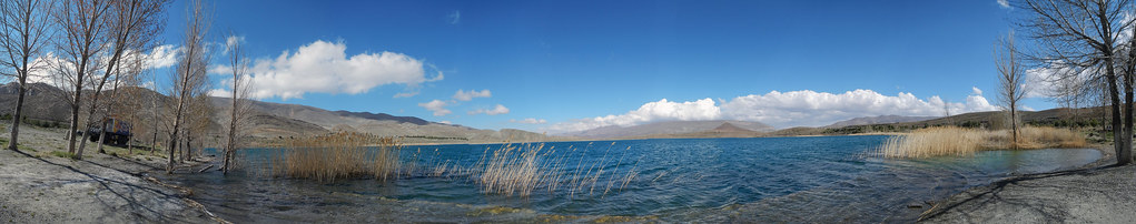
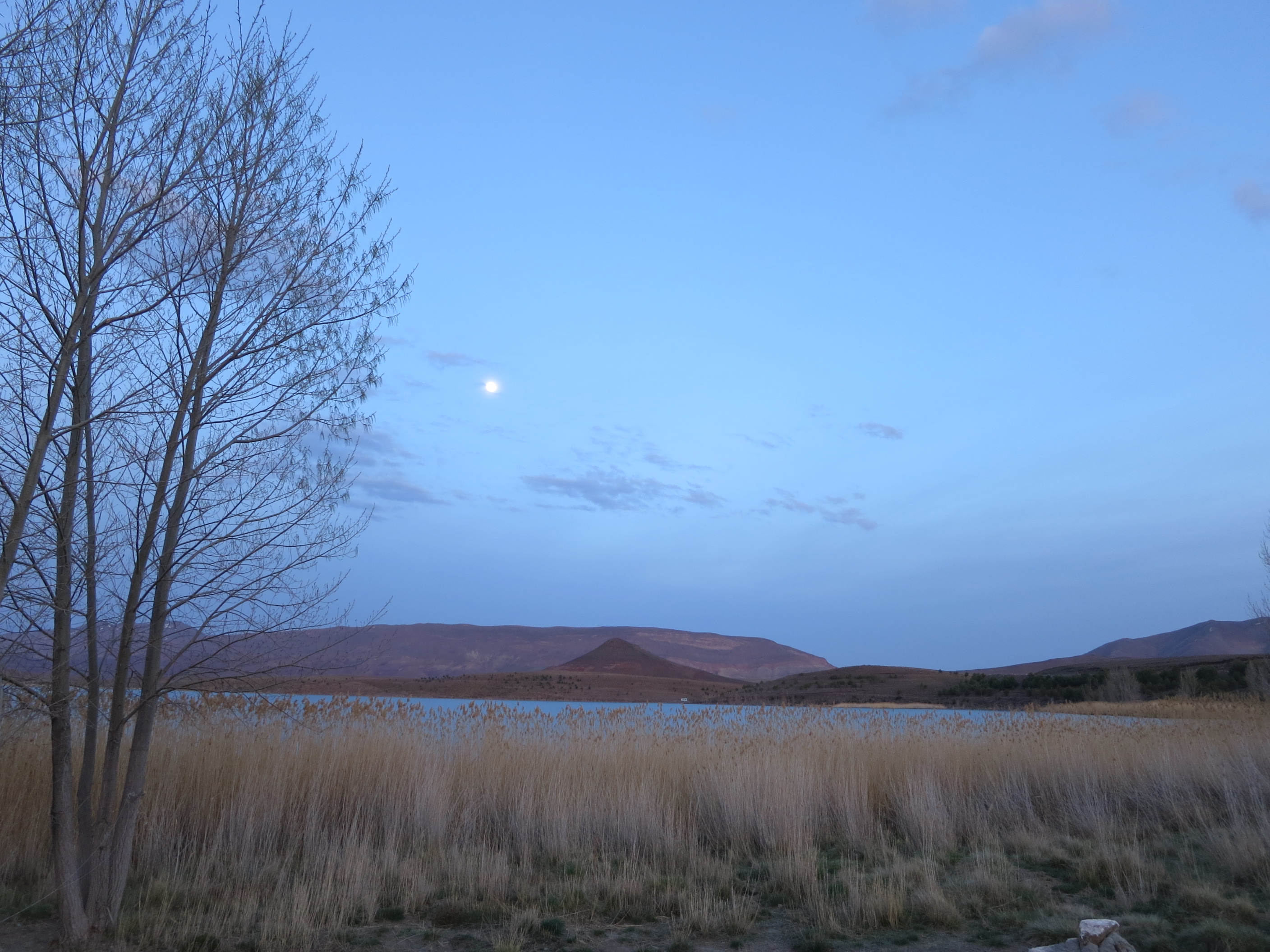
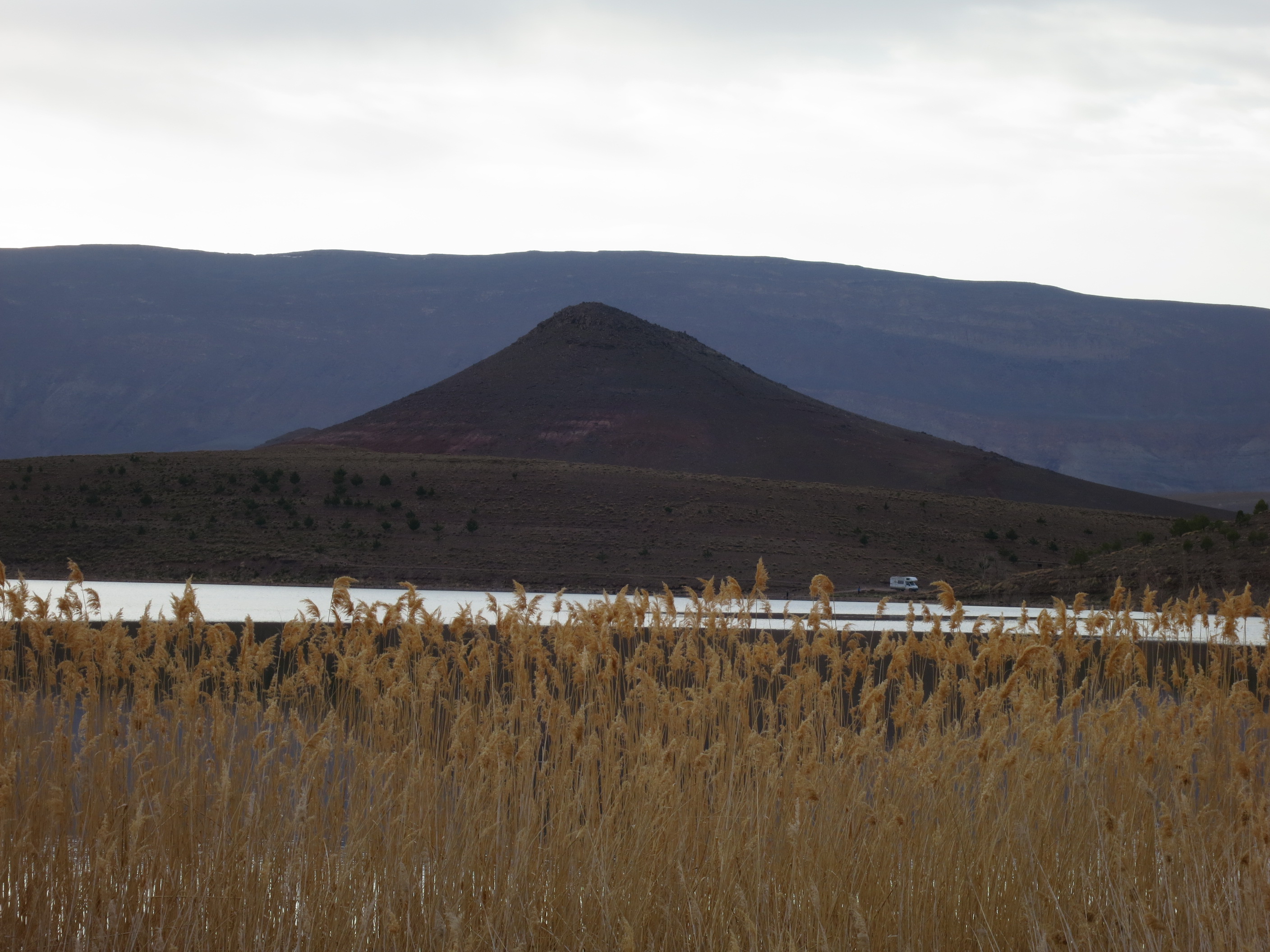
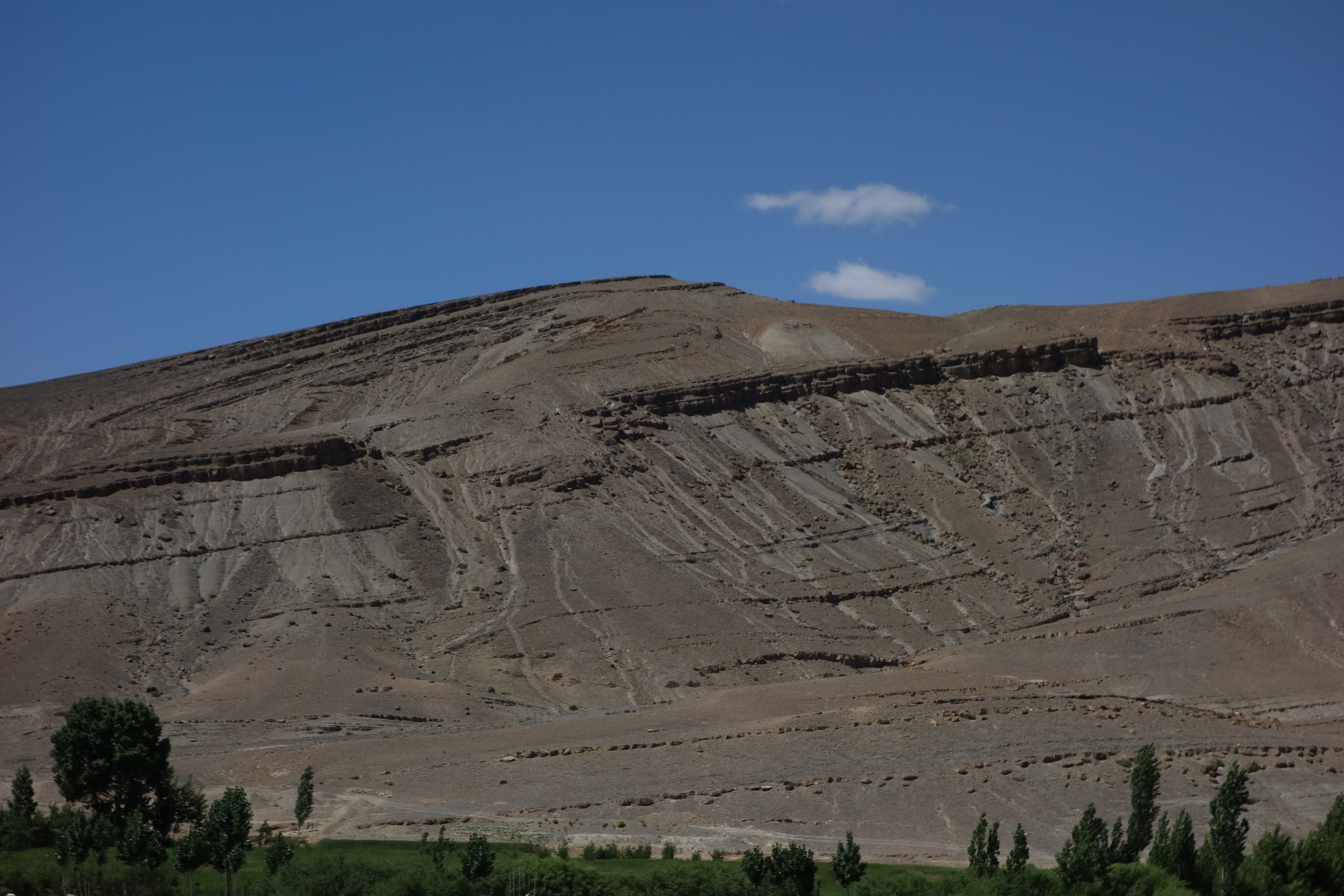
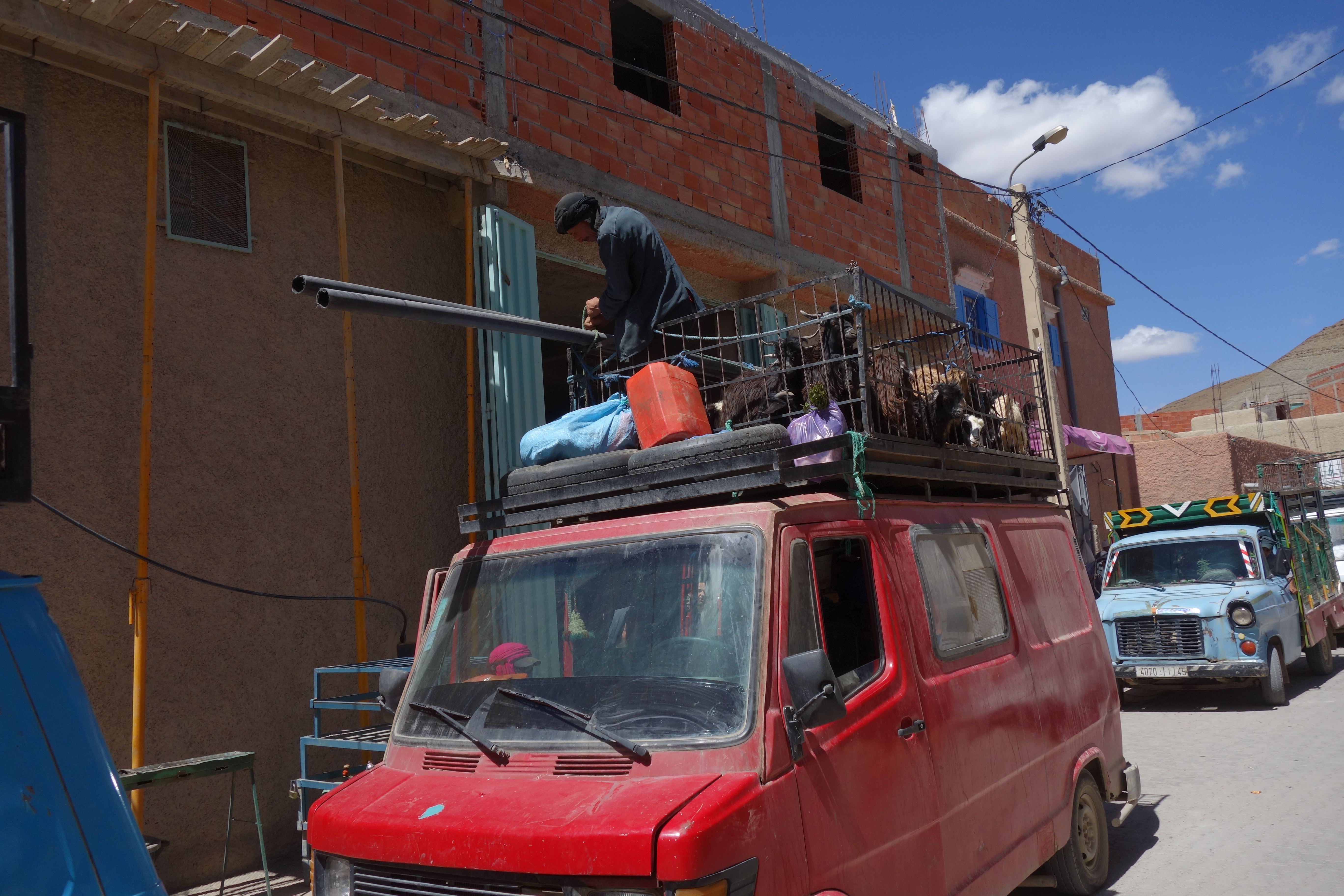
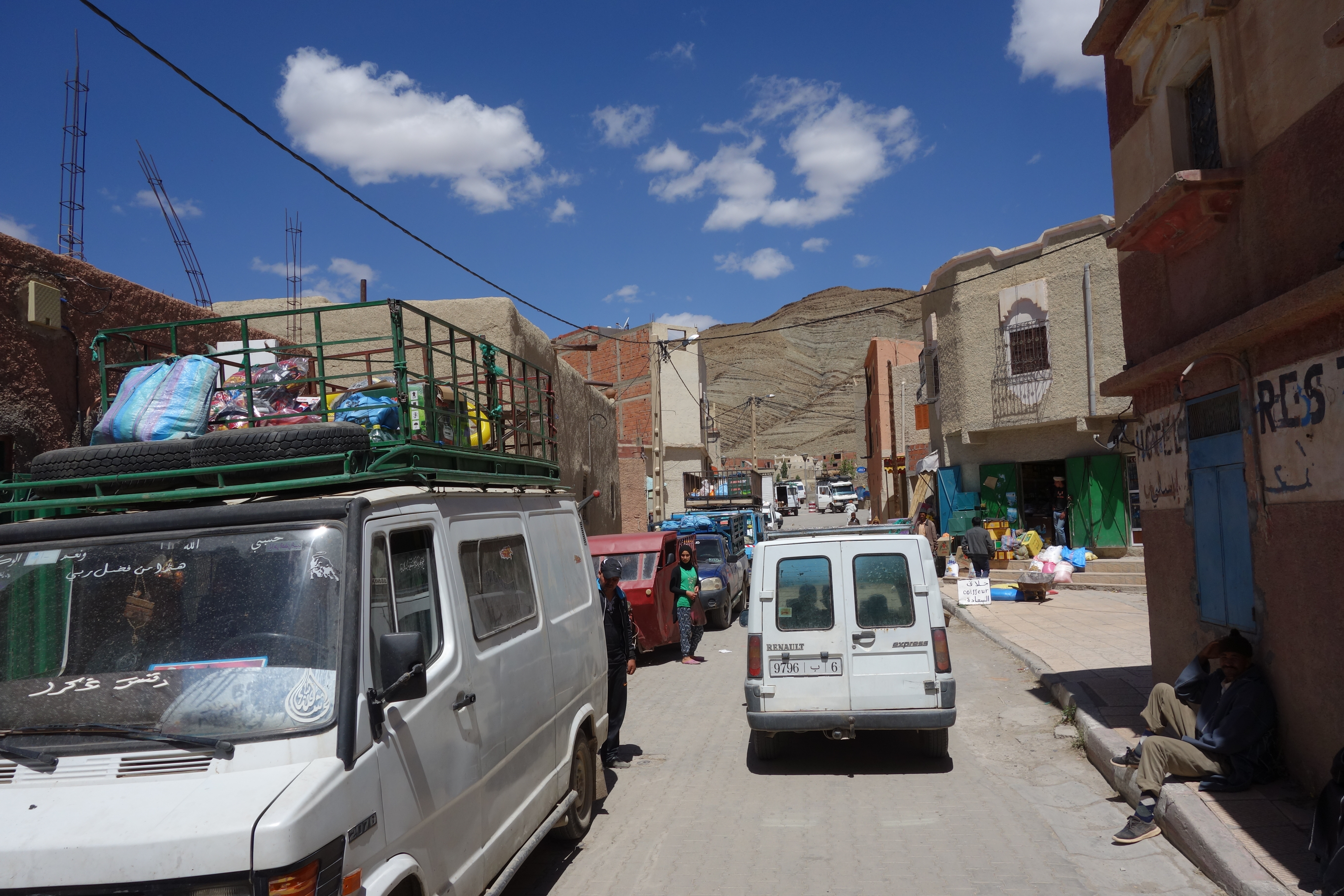
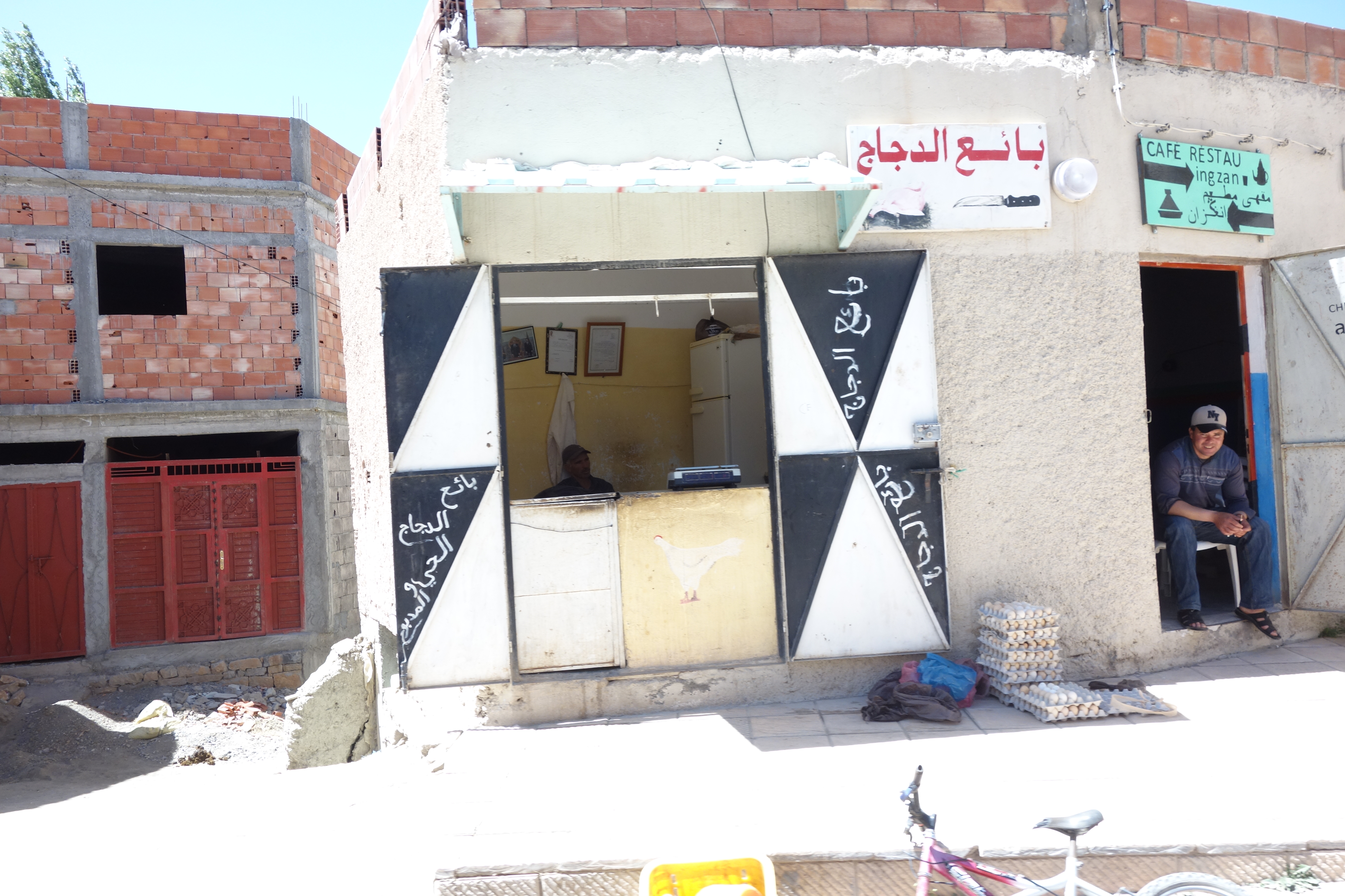
Related Photos:

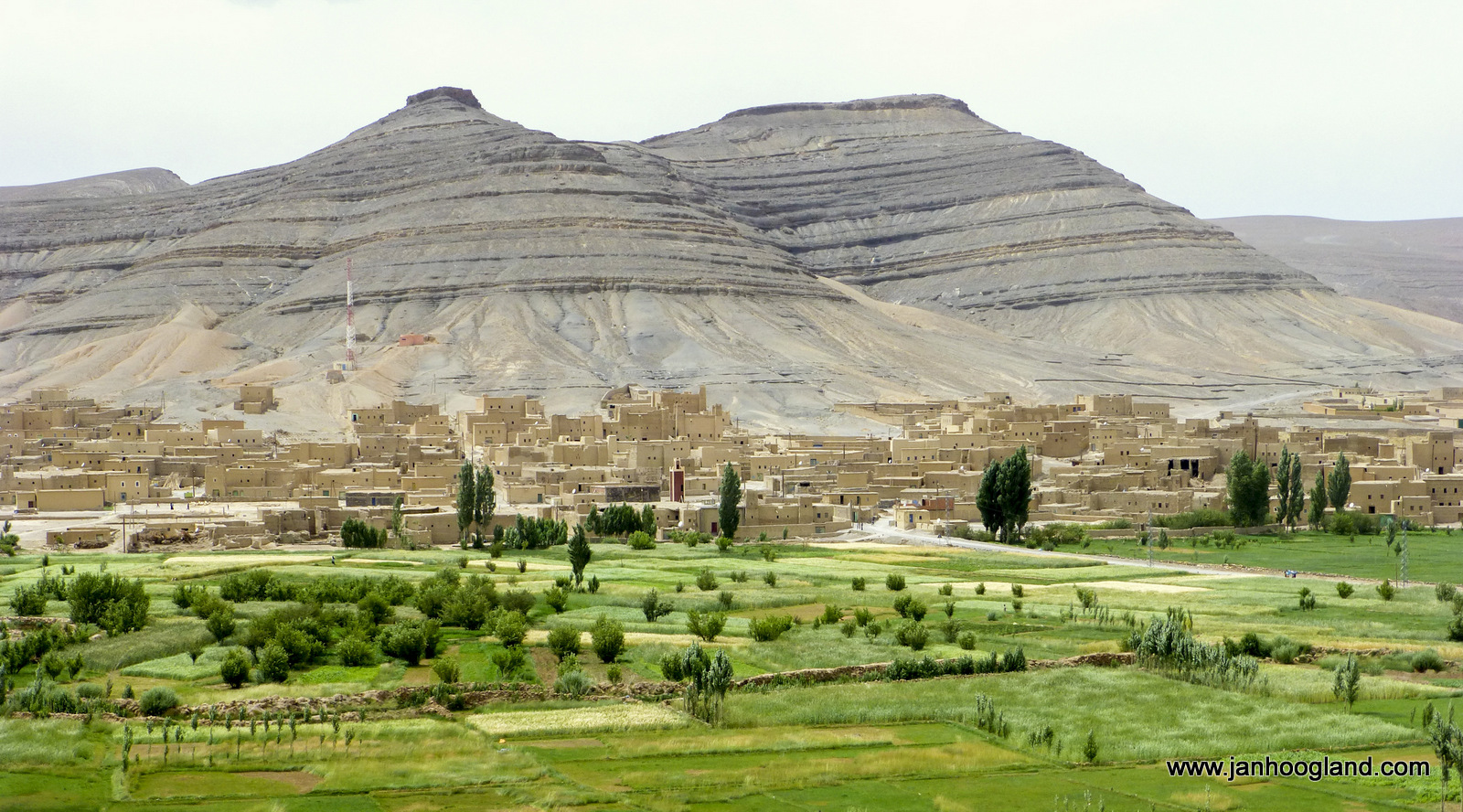
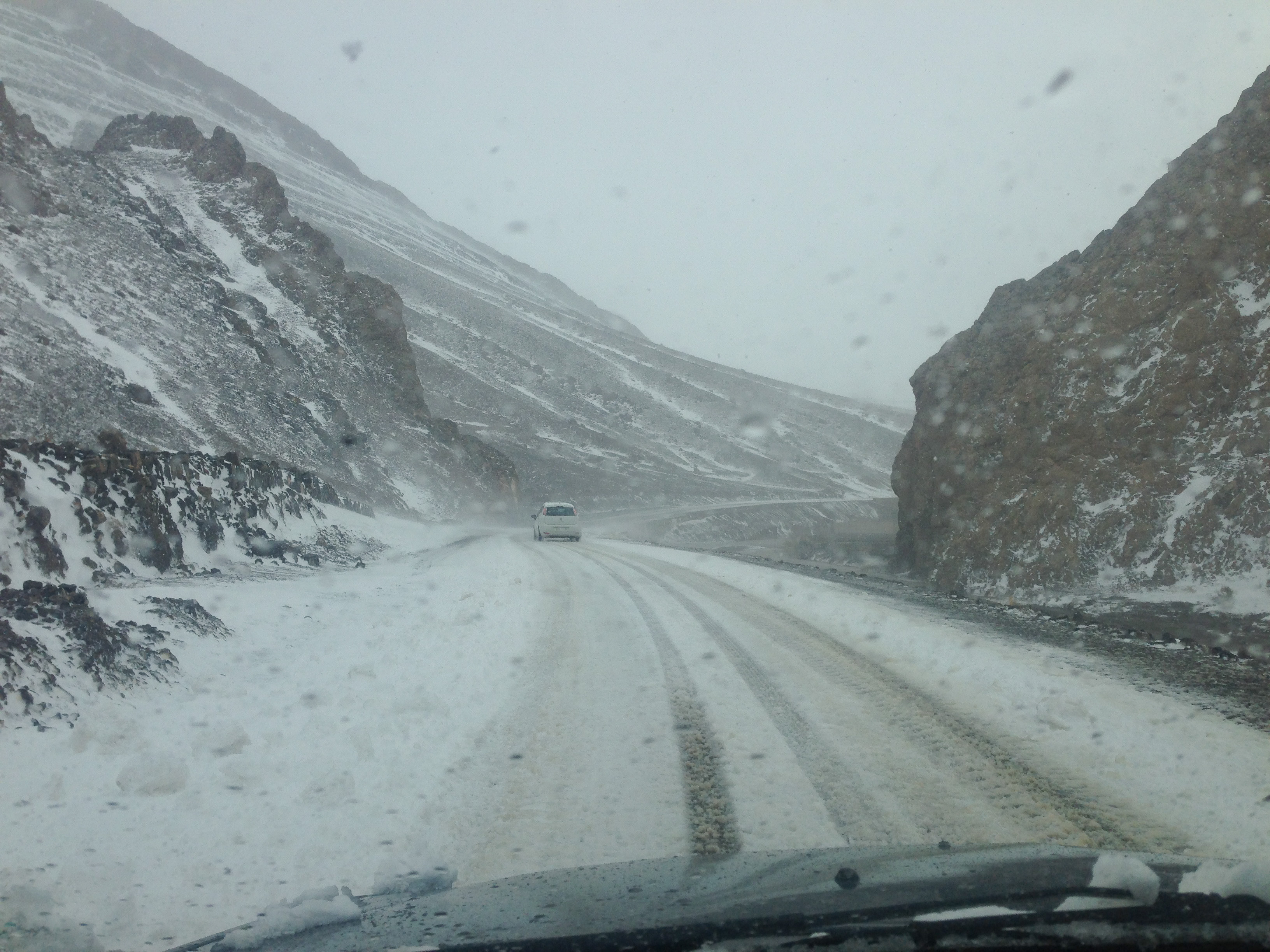
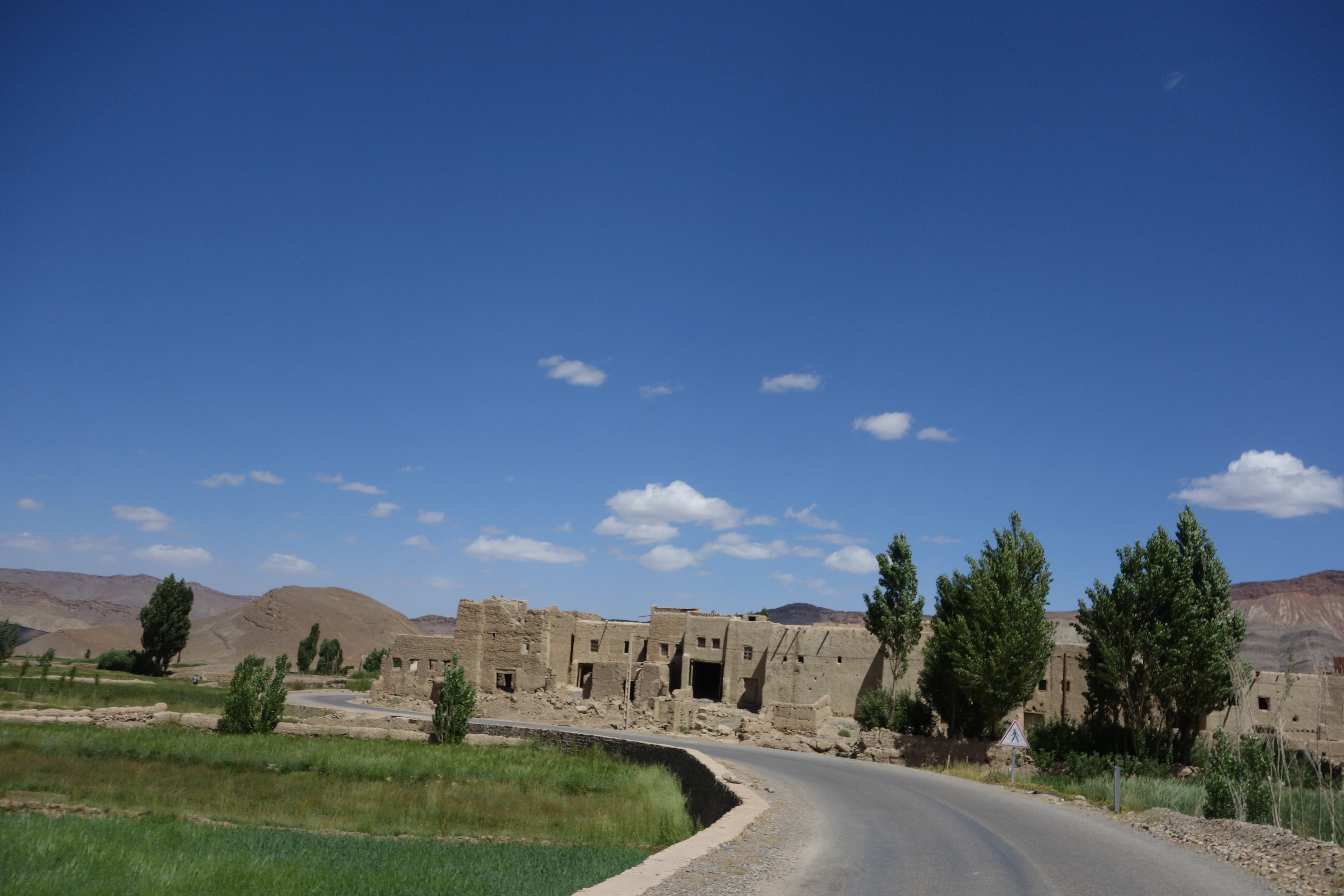
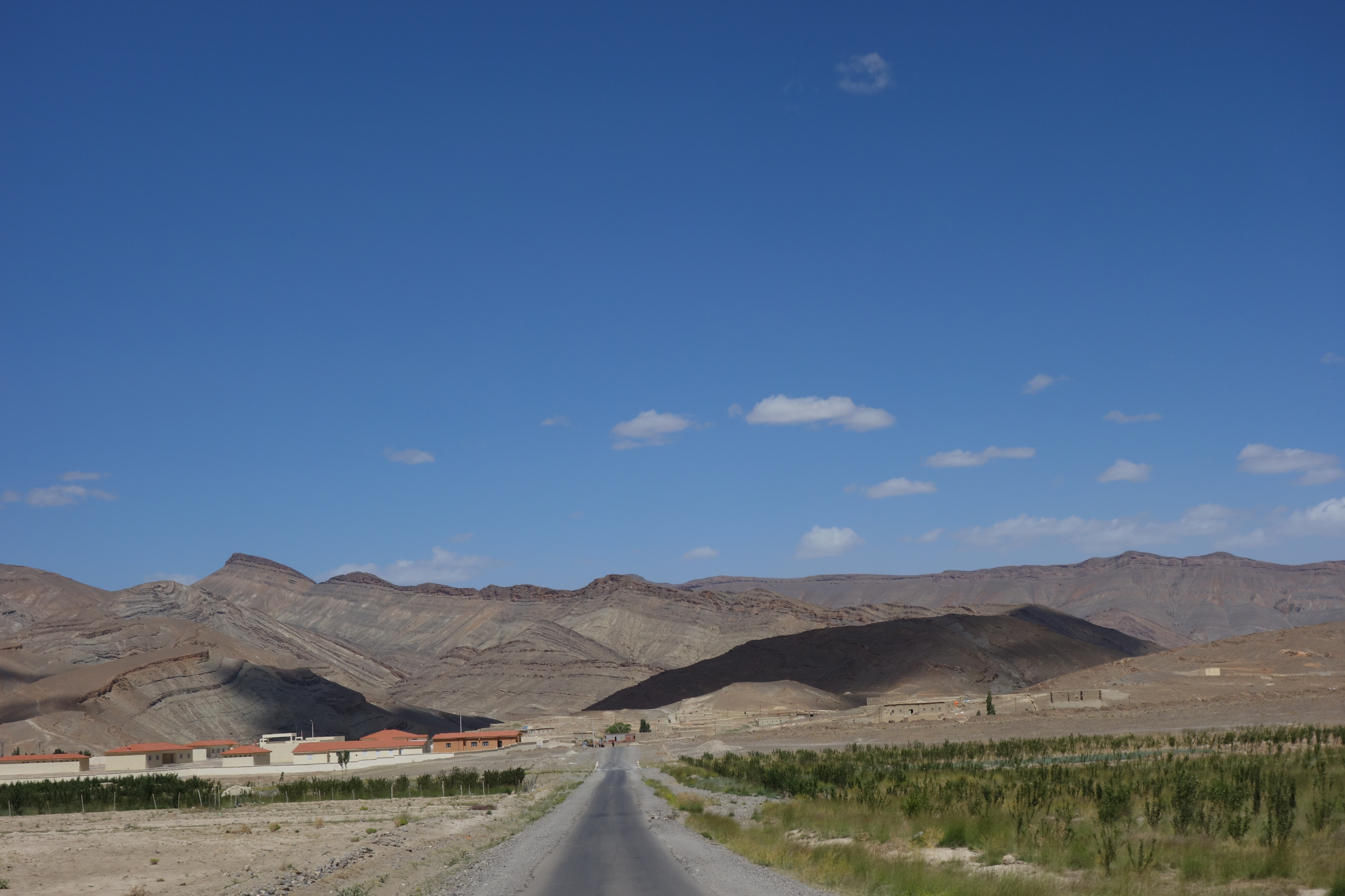
Tizi n'Bab
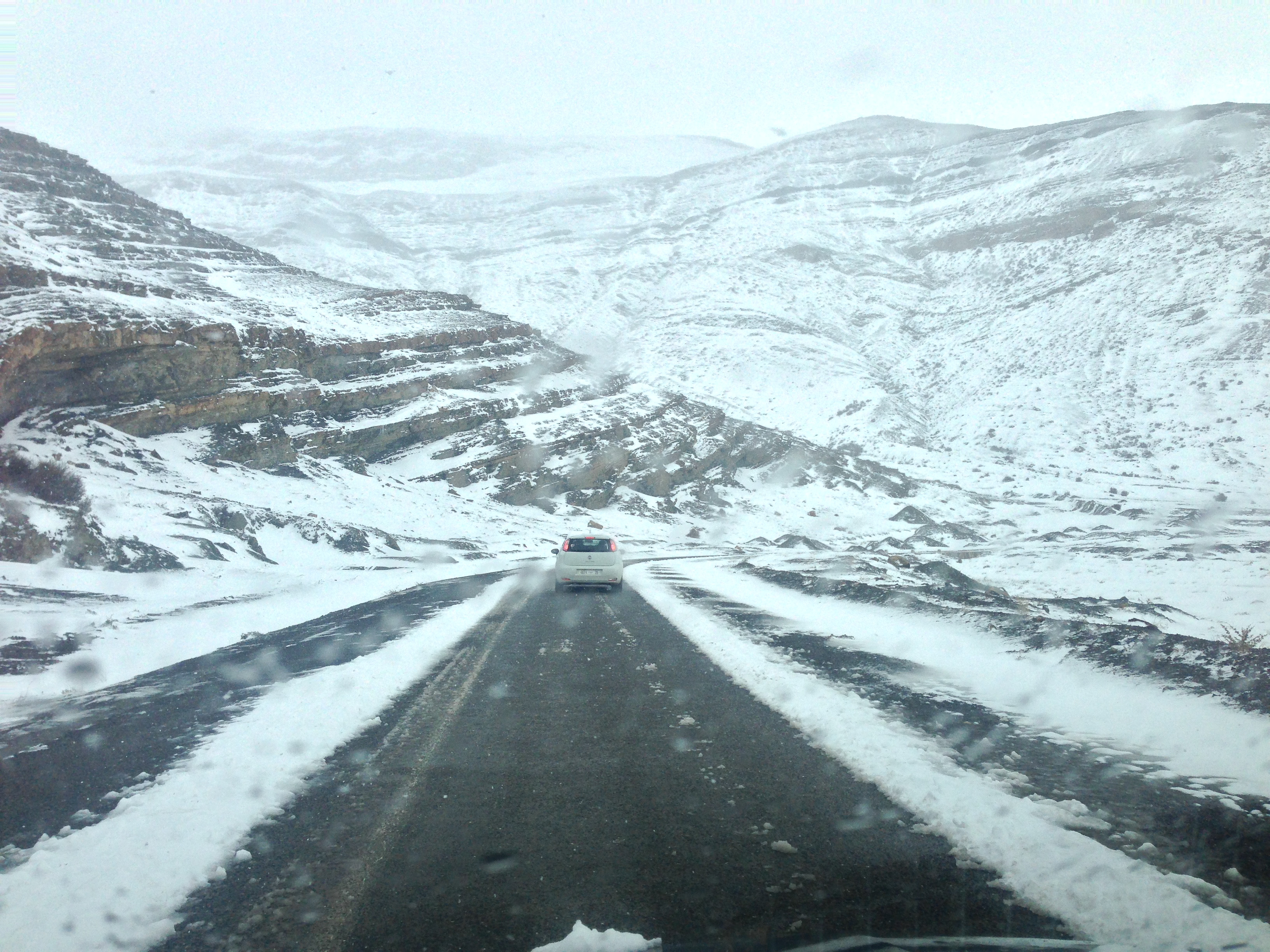
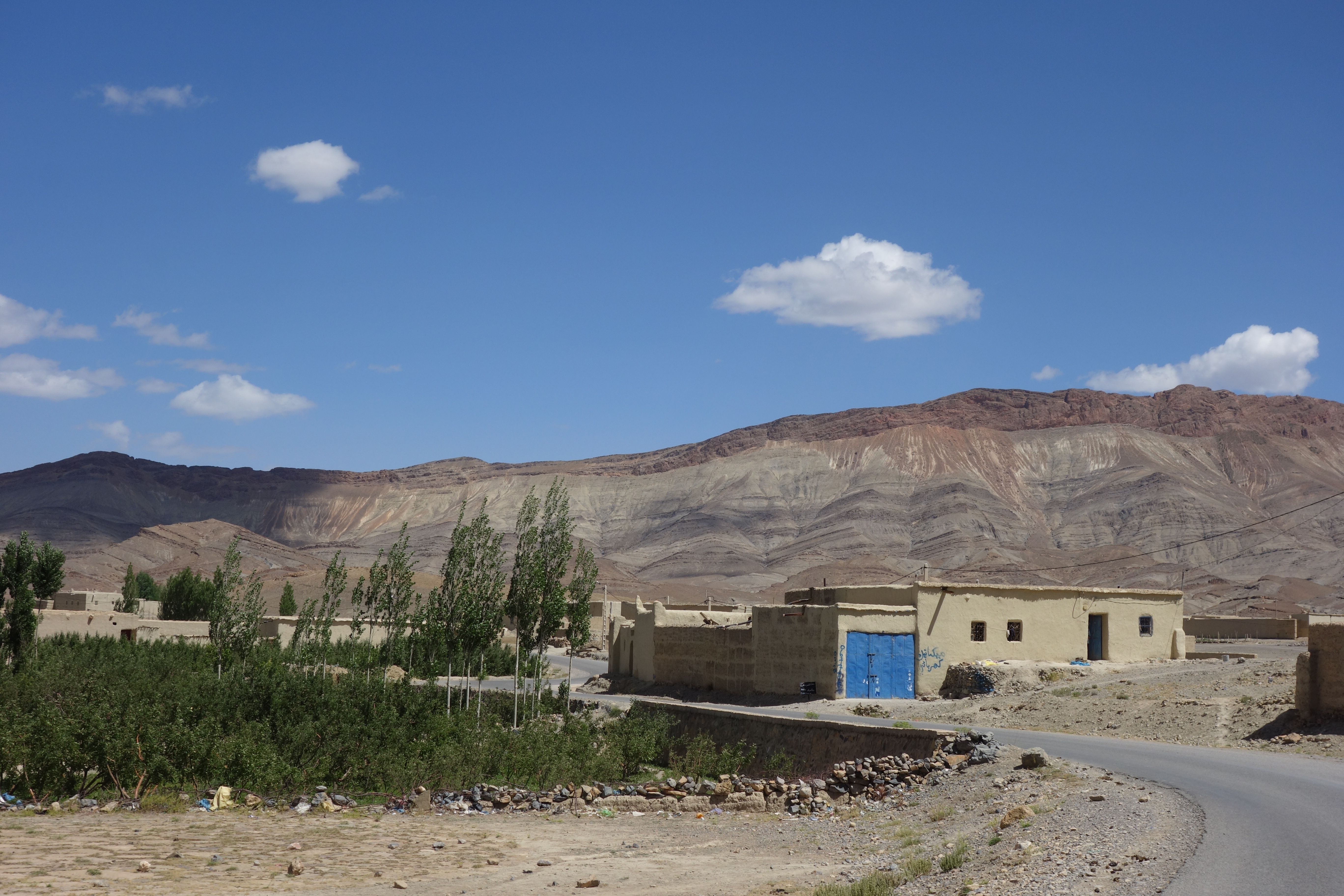
ImilchilHighAtlasMorocco3, Agoudal village
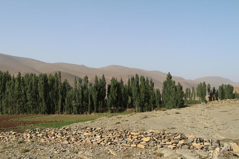
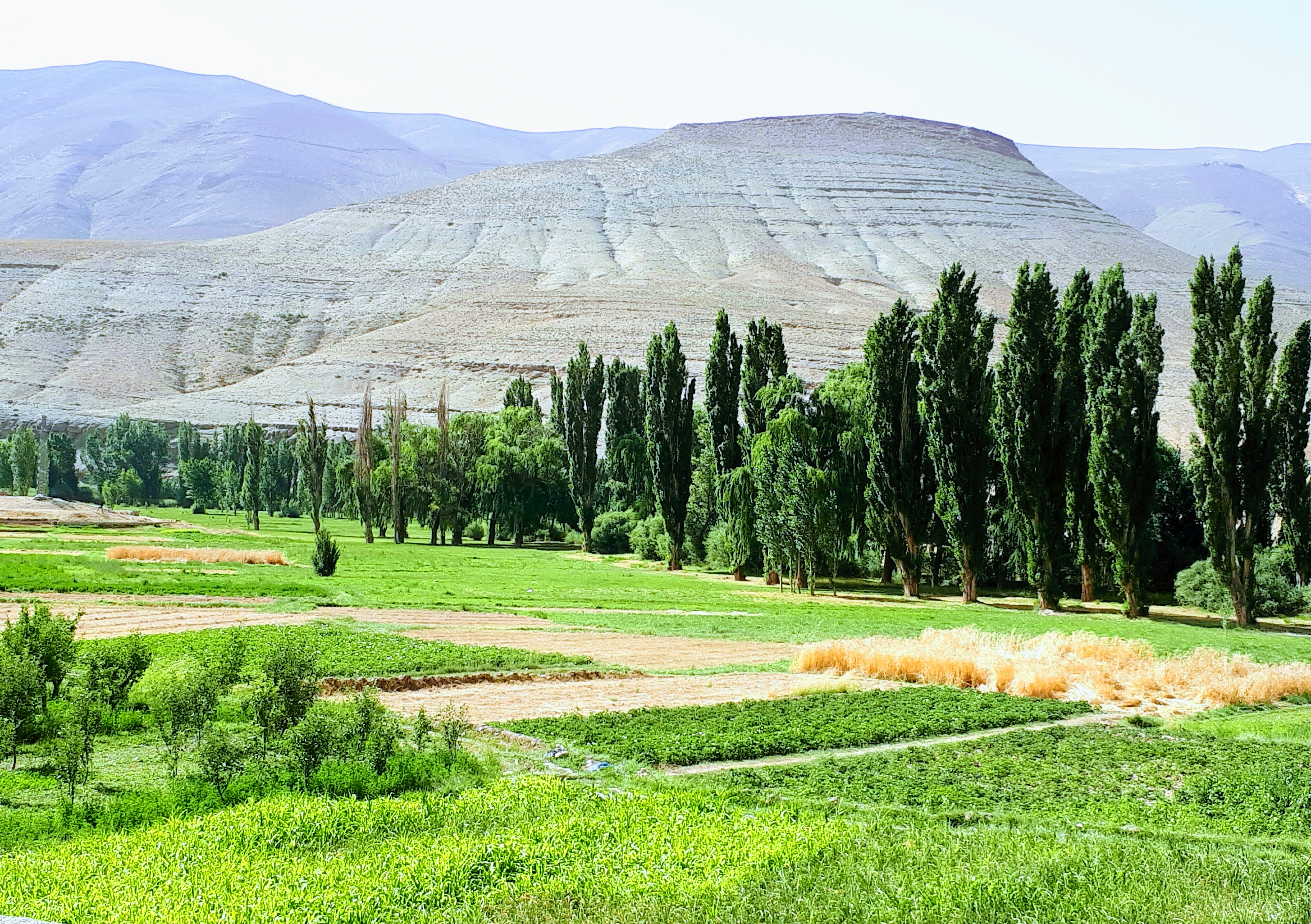
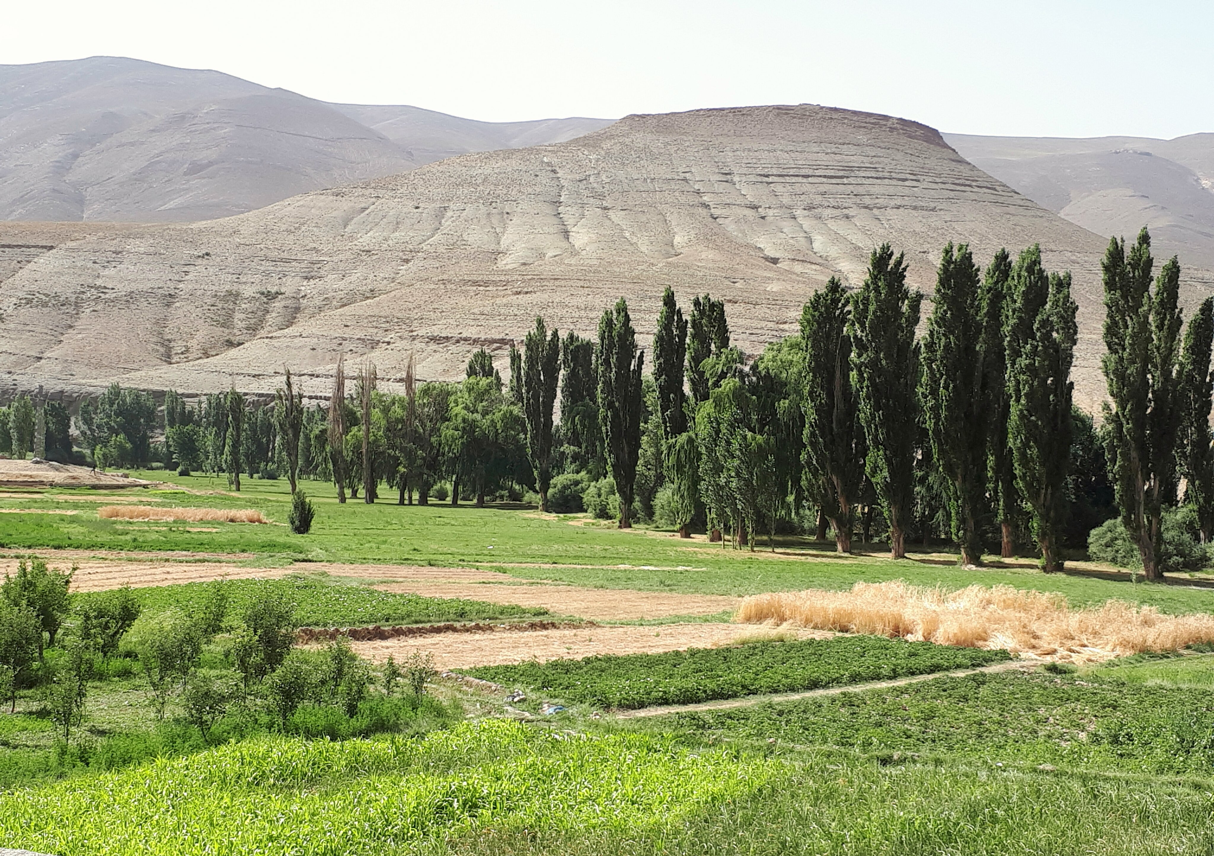
mellul valley - cottonwood
Cornel - Corner
2016-06-25-113433
maroc-291.jpg
maroc-290.jpg
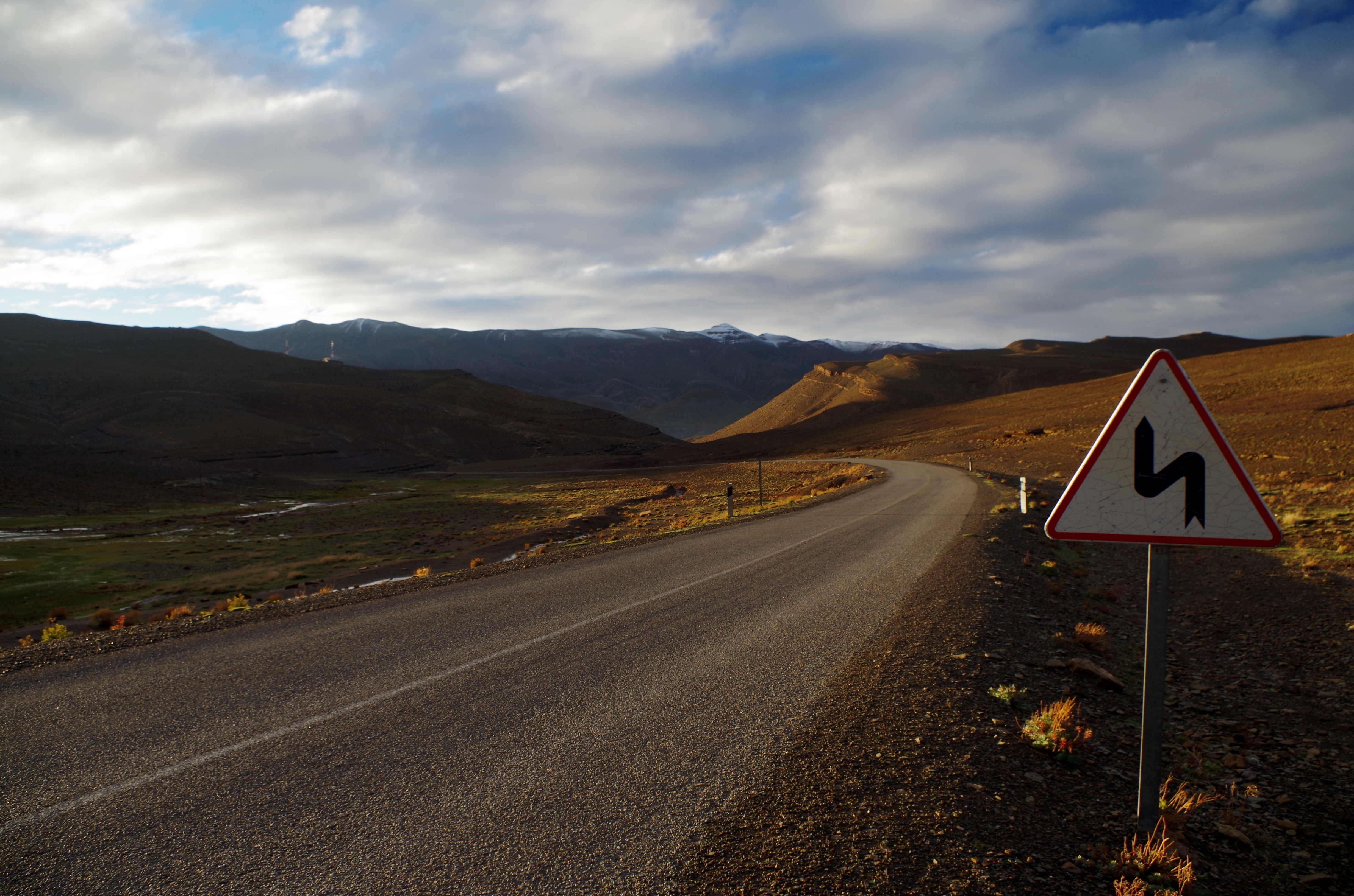
La pendiente
2017-07-26_08-26-29-EFFECTS
Tislite-imilchil- morocco
Imilchil-morocco
Verde y blanco
Morocco - High Atlas
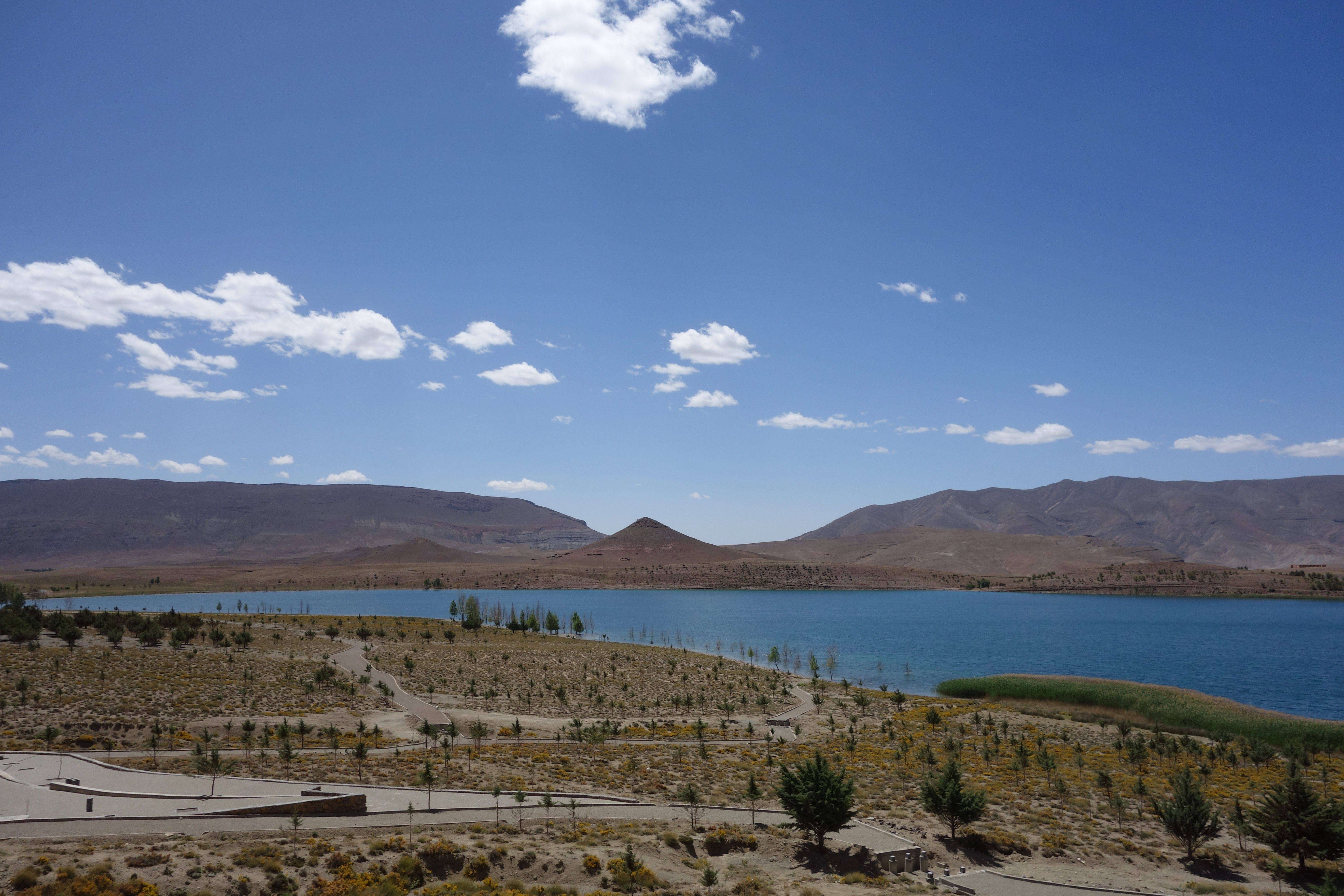
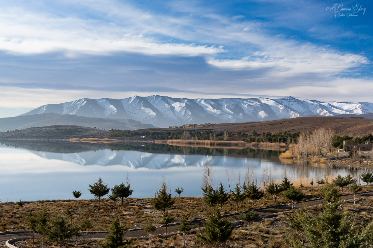
Lac Tislit - Hoher Atlas - Marokko
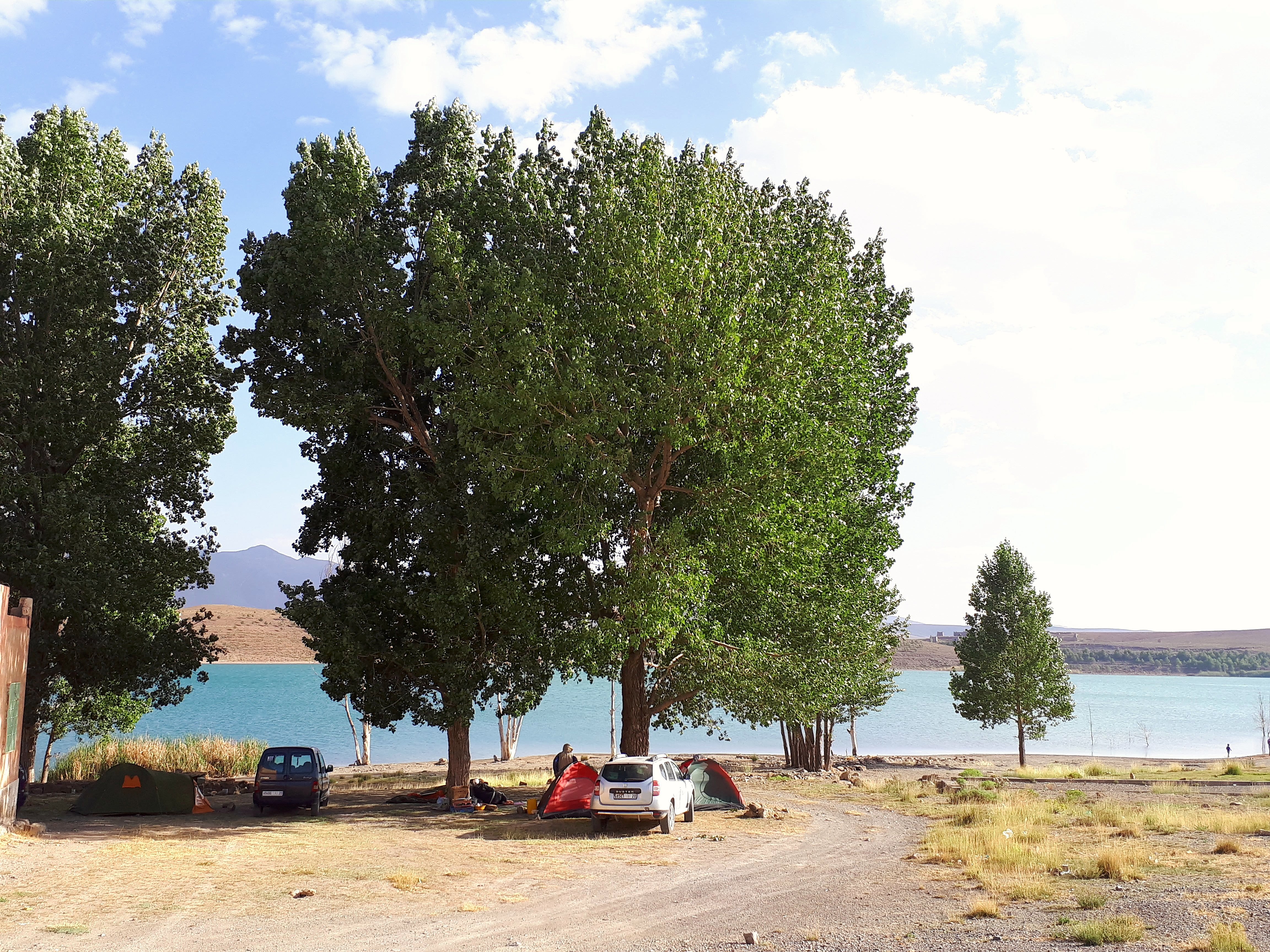
MH1 - Dadés Imilchil - Lac Tislite
MH1 - Dadés Imilchil - Lac Tislite
2016-06-25-111001
2016-06-25-111102

2016-06-25-111126
2016-06-25-111150
2016-06-25-111234
2016-06-25-111239

2016-06-25-111245
2016-06-25-111258
2016-06-25-112917
2016-06-25-112925
2016-06-25-112937
2016-06-25-112944
Topographic Map of Imilchil, Morocco
Find elevation by address:

Places near Imilchil, Morocco:
Irhzissane
Tassemit
Tamejijt
Titawin
Dadès Vallei
Azilal Province
M'goun
Kalaat M'gouna
Awlad-an-nama
Ouzoud Falls
Souss-massa-draa
Skoura
Demnat
Toufrine
Tikhfist
Recent Searches:
- Elevation of Corso Fratelli Cairoli, 35, Macerata MC, Italy
- Elevation of Tallevast Rd, Sarasota, FL, USA
- Elevation of 4th St E, Sonoma, CA, USA
- Elevation of Black Hollow Rd, Pennsdale, PA, USA
- Elevation of Oakland Ave, Williamsport, PA, USA
- Elevation of Pedrógão Grande, Portugal
- Elevation of Klee Dr, Martinsburg, WV, USA
- Elevation of Via Roma, Pieranica CR, Italy
- Elevation of Tavkvetili Mountain, Georgia
- Elevation of Hartfords Bluff Cir, Mt Pleasant, SC, USA