Elevation of Imbaba, Giza Governorate, Egypt
Location: Egypt > Giza Governorate >
Longitude: 31.0220422
Latitude: 30.1829588
Elevation: 17m / 56feet
Barometric Pressure: 101KPa
Elevation Map:
Satellite Map:
Related Photos:

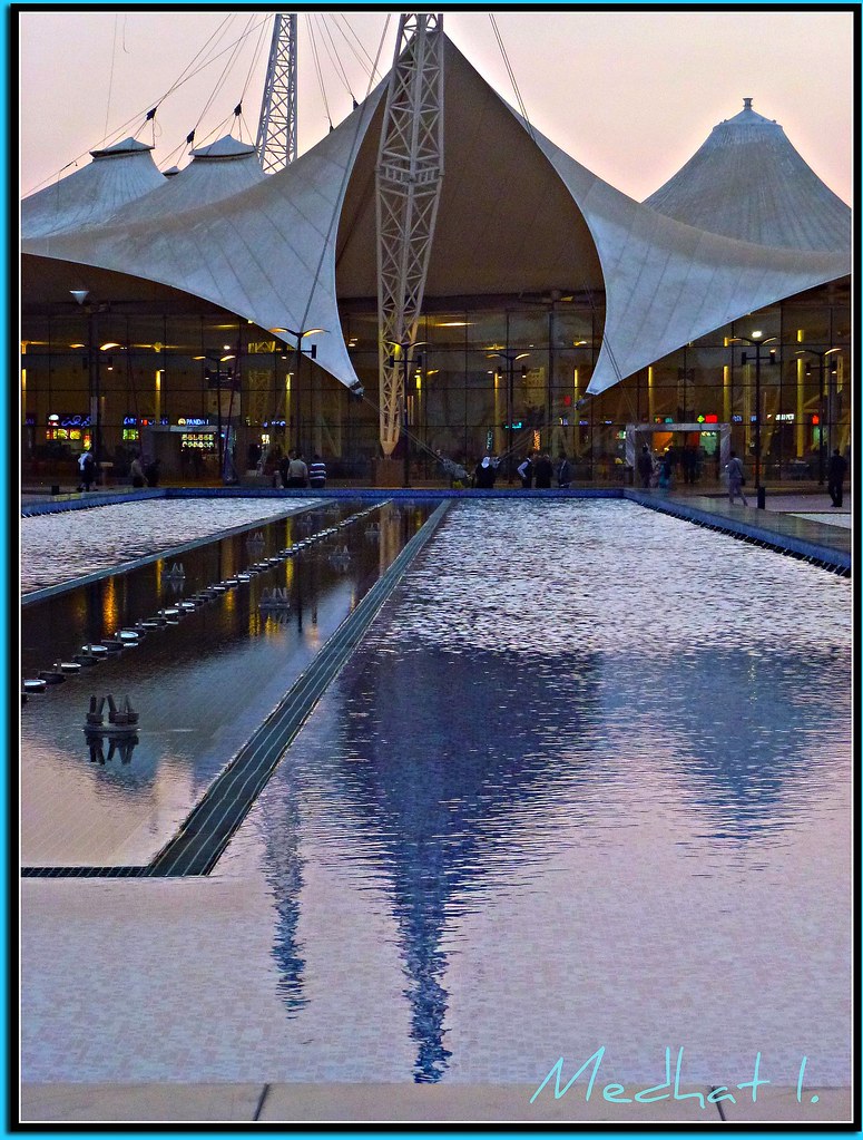
Smart Village's Pyramid @ Night
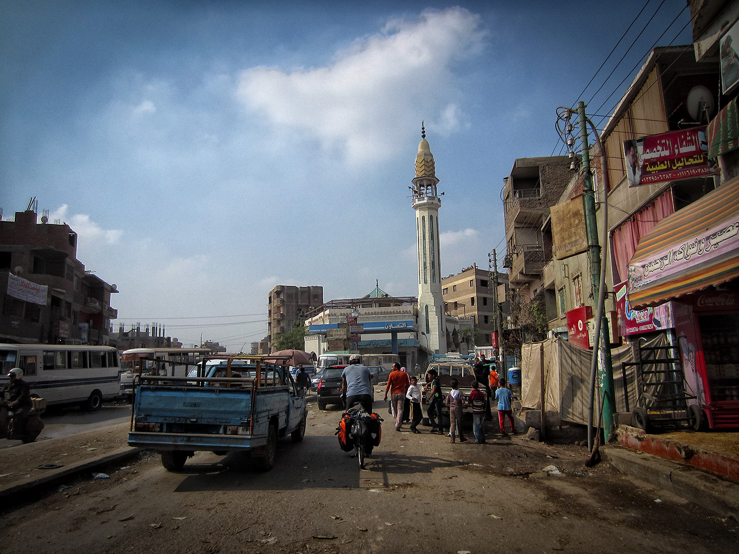
Postcard from Egypt part 1
Water Views! P1020545 "ARABIA MALL!" " EGYPTIAN CONFUSION: Democracy not ANARCHY and FREEDOM TO FIRE BOMB AND BURN!!!
#View from #Microsoft #BLDG at #Smart #Village #Cairo #Egypt

Natural at Smart Village

Smart Falls
Good Morning :-)

Elshams kant bt7awl trla3 :)

New Building beside #Microsoft #Egypt at #Smart #Village #Egypt #Cairo #AbuRawash #Giza
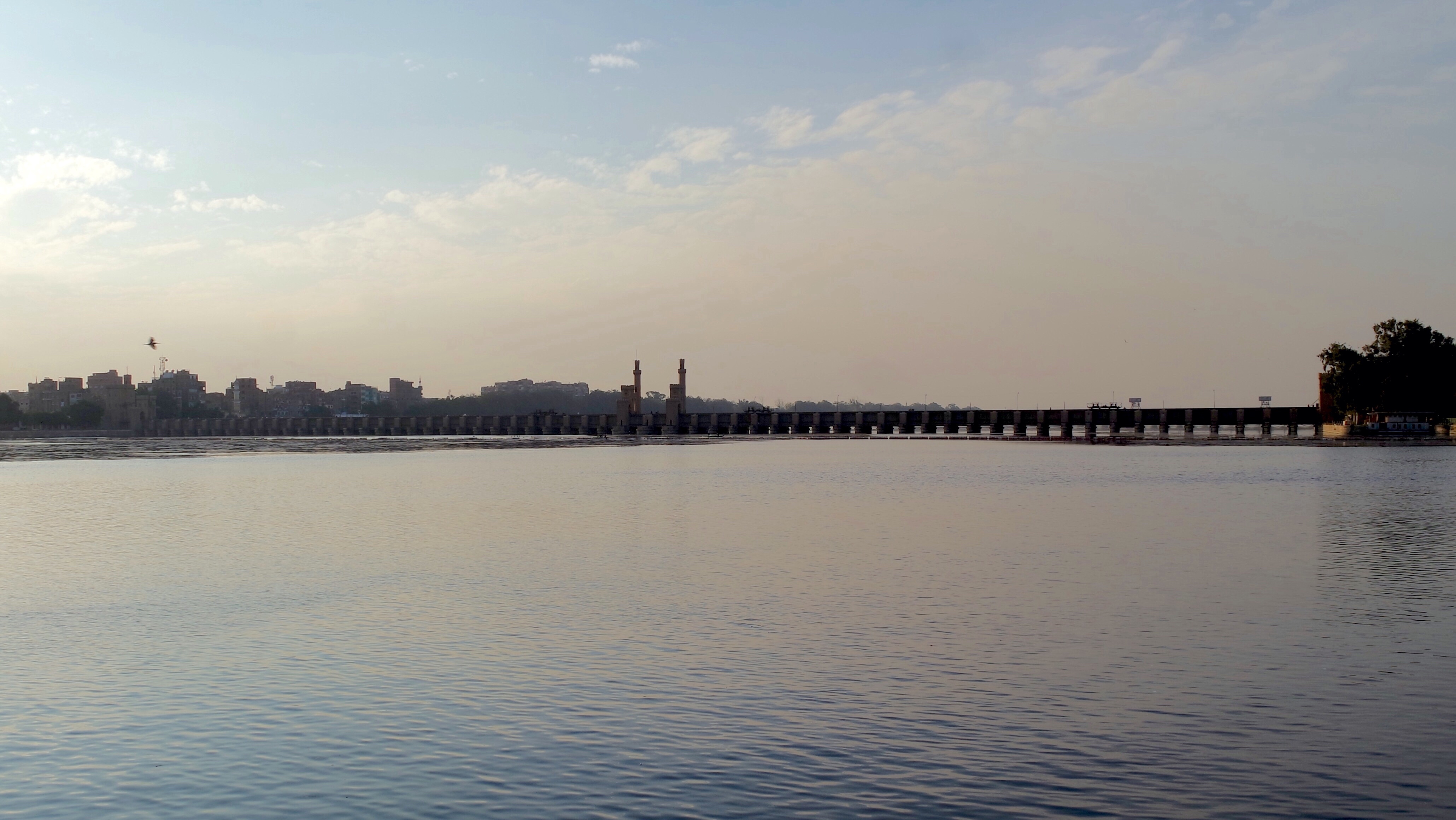
Egypt - Trip on the Nile - Kafr Al Fokaha - Alkanater Kheireya
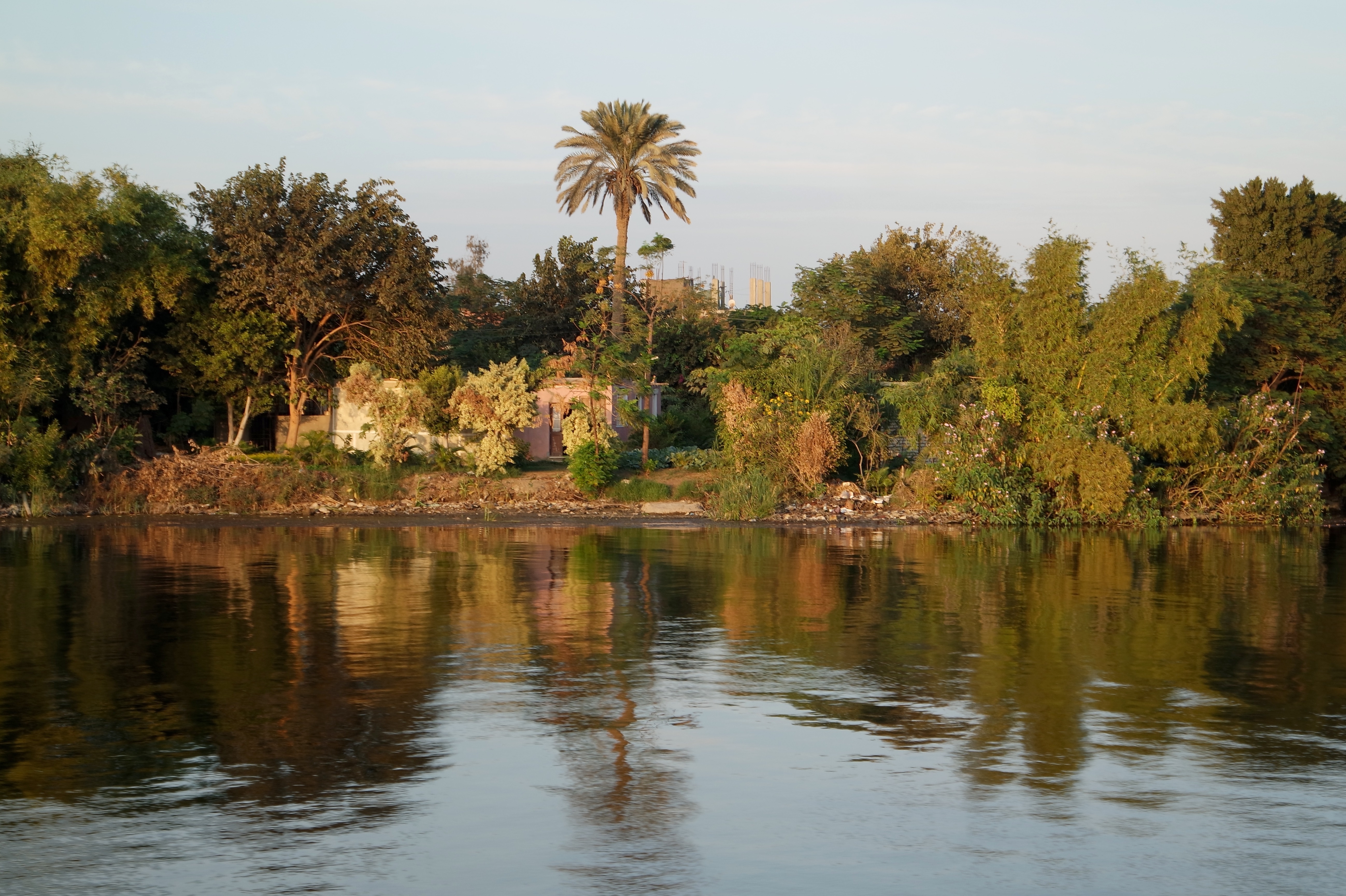
Egypt - Cairo - Trip on the Nile
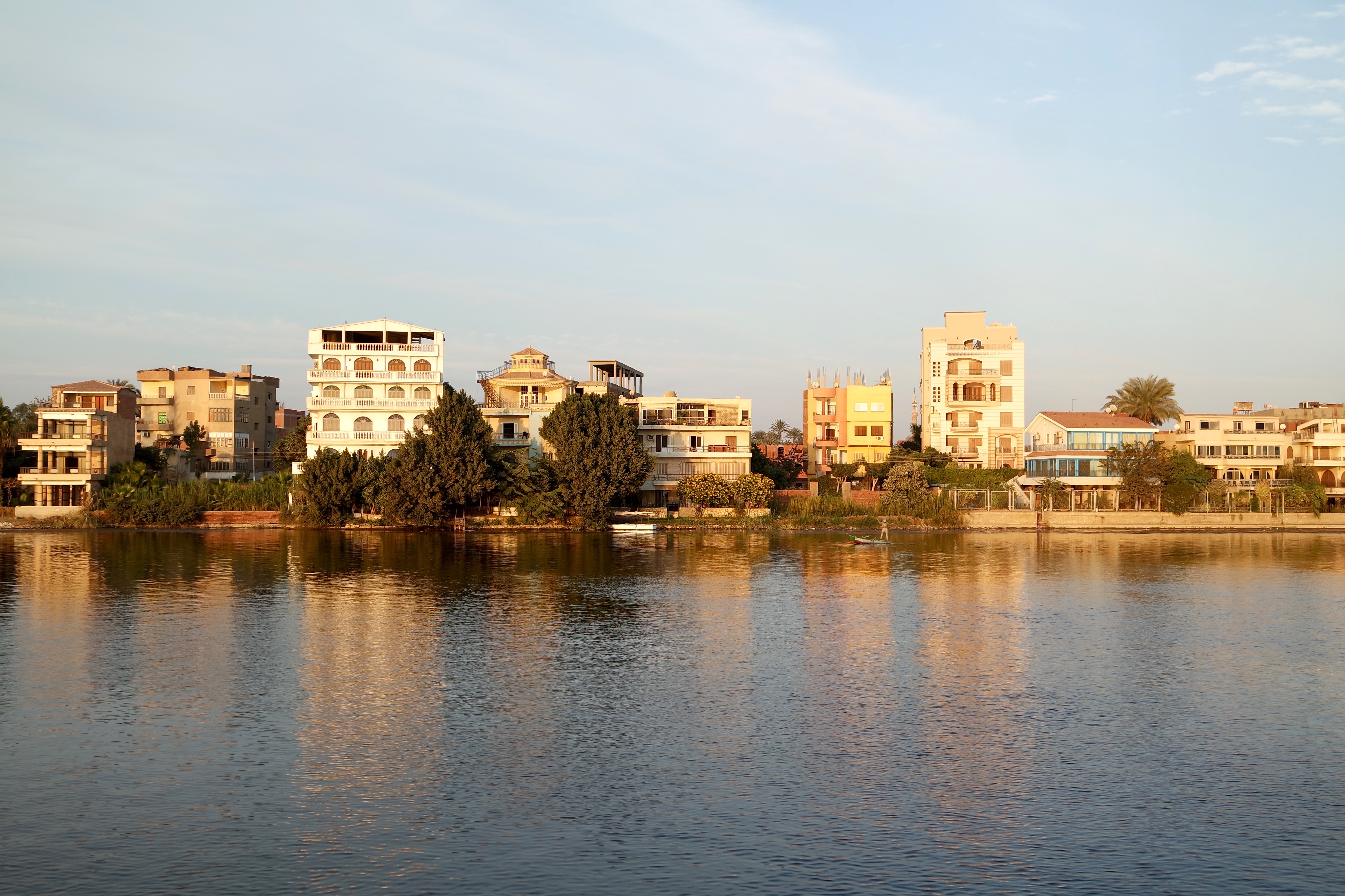
Egypt - Cairo - Trip on the Nile
Topographic Map of Imbaba, Giza Governorate, Egypt
Find elevation by address:

Places in Imbaba, Giza Governorate, Egypt:
Places near Imbaba, Giza Governorate, Egypt:
Toyota Egypt Abu Rawash
Al Qanater Al Khayreyah
Abou Rawash
Abou Rawash
Imbabah
Al Munirah
First 6th Of October
First 6th Of October
Al Haram
6th Of October University
30 Al Taef
Ad Doqi
Gezira Island
The Great Pyramid At Giza
Khofo
Giza Necropolis
Pyramid Of Khafre
Giza Plateau
Nazlet El-semman
Pyramid Of Menkaure
Recent Searches:
- Elevation of Corso Fratelli Cairoli, 35, Macerata MC, Italy
- Elevation of Tallevast Rd, Sarasota, FL, USA
- Elevation of 4th St E, Sonoma, CA, USA
- Elevation of Black Hollow Rd, Pennsdale, PA, USA
- Elevation of Oakland Ave, Williamsport, PA, USA
- Elevation of Pedrógão Grande, Portugal
- Elevation of Klee Dr, Martinsburg, WV, USA
- Elevation of Via Roma, Pieranica CR, Italy
- Elevation of Tavkvetili Mountain, Georgia
- Elevation of Hartfords Bluff Cir, Mt Pleasant, SC, USA