Elevation map of Ilam Province, Iran
Location: Iran >
Longitude: 46.670534
Latitude: 33.2957618
Elevation: 1473m / 4833feet
Barometric Pressure: 85KPa
Elevation Map:
Satellite Map:
Related Photos:
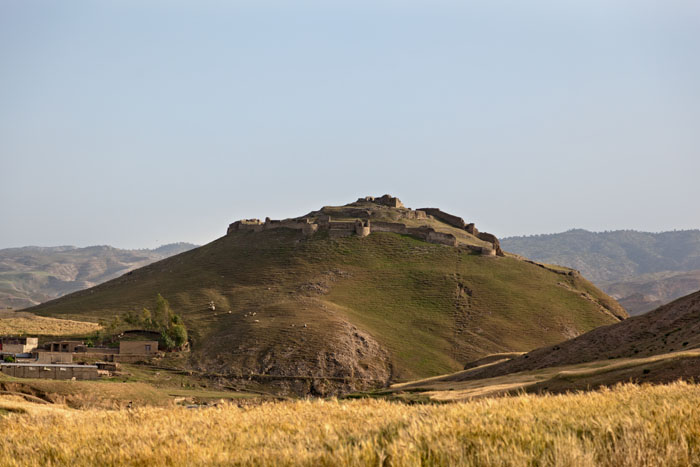
Posht Ghale Fortress دژ باستانی پشت قلعه
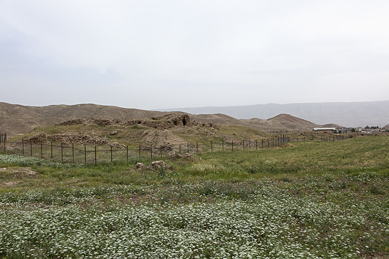
Iran, Ancient city of Madakto (Seymareh) شهر باستانی ماداکتو (سیمره) دره شهر

درياچه هاي دوقلوي سياه گاو Siyah Gav (Black Caw) Twin Lakes

Ilam province, Iran

Flying Butterfly!!!

Zeinegan open cave !
Topographic Map of Ilam Province, Iran
Find elevation by address:

Places in Ilam Province, Iran:
Places near Ilam Province, Iran:
Recent Searches:
- Elevation of Corso Fratelli Cairoli, 35, Macerata MC, Italy
- Elevation of Tallevast Rd, Sarasota, FL, USA
- Elevation of 4th St E, Sonoma, CA, USA
- Elevation of Black Hollow Rd, Pennsdale, PA, USA
- Elevation of Oakland Ave, Williamsport, PA, USA
- Elevation of Pedrógão Grande, Portugal
- Elevation of Klee Dr, Martinsburg, WV, USA
- Elevation of Via Roma, Pieranica CR, Italy
- Elevation of Tavkvetili Mountain, Georgia
- Elevation of Hartfords Bluff Cir, Mt Pleasant, SC, USA