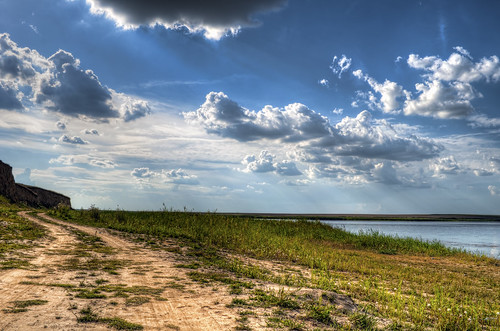
Elevation map of Ialomița, Romania
Location: Romania > Ialomița County >
Longitude: 27.1085823
Latitude: 44.5751137
Elevation: 33m / 108feet
Barometric Pressure: 101KPa
Related Photos:
Topographic Map of Ialomița, Romania
Find elevation by address:

Places near Ialomița, Romania:
Cocora
Ialomița County
Călărași County
Călărași
Silistra
Fetesti
Fetești-gară
Strada Depoului 40, Fetești-Gară, Romania
Recent Searches:
- Elevation of Corso Fratelli Cairoli, 35, Macerata MC, Italy
- Elevation of Tallevast Rd, Sarasota, FL, USA
- Elevation of 4th St E, Sonoma, CA, USA
- Elevation of Black Hollow Rd, Pennsdale, PA, USA
- Elevation of Oakland Ave, Williamsport, PA, USA
- Elevation of Pedrógão Grande, Portugal
- Elevation of Klee Dr, Martinsburg, WV, USA
- Elevation of Via Roma, Pieranica CR, Italy
- Elevation of Tavkvetili Mountain, Georgia
- Elevation of Hartfords Bluff Cir, Mt Pleasant, SC, USA


