Elevation of Hyderabad, Sindh, Pakistan
Location: Pakistan > Sindh >
Longitude: 68.4770183
Latitude: 25.3016058
Elevation: 18m / 59feet
Barometric Pressure: 101KPa
Elevation Map:
Satellite Map:
Related Photos:

A back view of Central Library (C.L) of Mehran University of Engineering & Technology (MUET) Jamshoro, Sindh, Pakistan

"A Glorious View of Sunset From My Terrace"

A view from Intern's office. Stunned to see they've turned street adjacent to hospital into a wedding hall so beautifully.

Datural metal

Datural metal
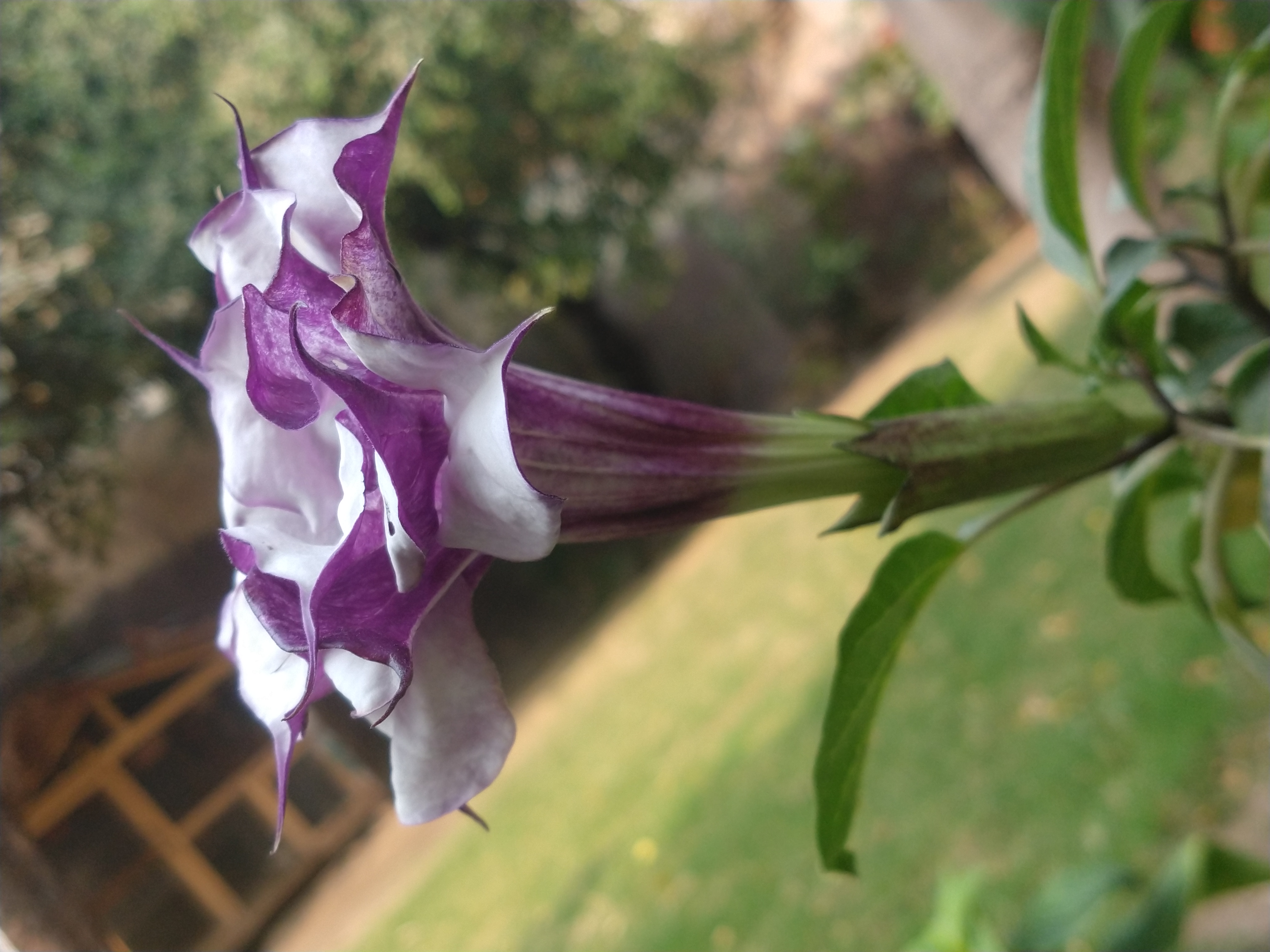
Datura metal
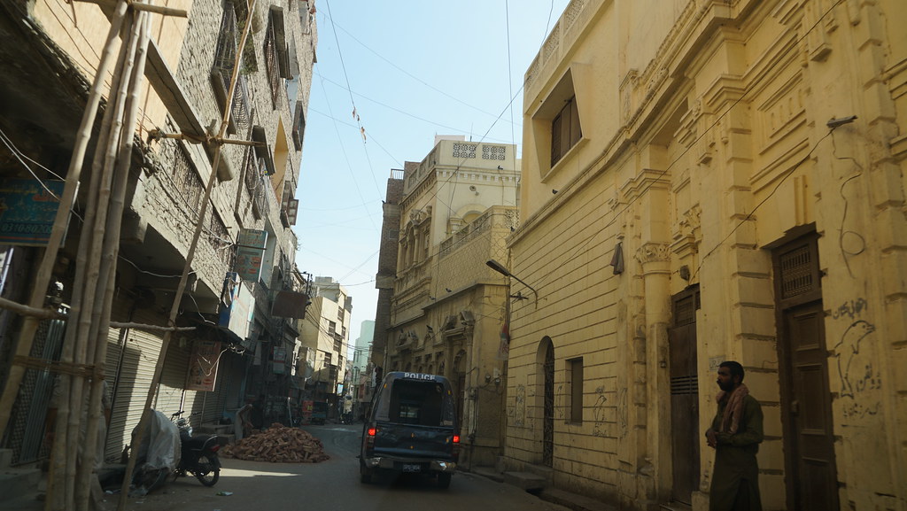
Old Hyderabad

Old Hyderabad

Old Hyderabad

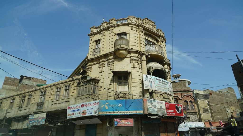
Pakka Qila

Pakka Qila

Pakka Qila

Pakka Qila

Pakka Qila

Pakka Qila

Pakka Qila
Old Hyderabad

Old Hyderabad

Old Hyderabad

Old Hyderabad

Old Hyderabad

Old Hyderabad

Makkah Masjid
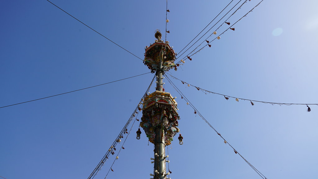
Qadam Gah
Topographic Map of Hyderabad, Sindh, Pakistan
Find elevation by address:

Places near Hyderabad, Sindh, Pakistan:
Tando Muhammad Khan
Keenjhar Lake
Badin
Thatta
Badin
Hadero Lake
Shah Jahan Mosque
Government Boys High School Akhund Baradia, Thatta Sindh
Makli Necropolis
Thatta
Makli
Makli
Bapro Jakhro
Badin
Haleji Lake
Thatta
Shah Ashabi Town
Sunway Lagoon Water Park
Gharo
Bhambore
Recent Searches:
- Elevation of Corso Fratelli Cairoli, 35, Macerata MC, Italy
- Elevation of Tallevast Rd, Sarasota, FL, USA
- Elevation of 4th St E, Sonoma, CA, USA
- Elevation of Black Hollow Rd, Pennsdale, PA, USA
- Elevation of Oakland Ave, Williamsport, PA, USA
- Elevation of Pedrógão Grande, Portugal
- Elevation of Klee Dr, Martinsburg, WV, USA
- Elevation of Via Roma, Pieranica CR, Italy
- Elevation of Tavkvetili Mountain, Georgia
- Elevation of Hartfords Bluff Cir, Mt Pleasant, SC, USA