Elevation of Hwy, White Sulphur Springs, MT, USA
Location: United States > Montana > Meagher County > White Sulphur Springs >
Longitude: -111.19314
Latitude: 46.6786023
Elevation: 1413m / 4636feet
Barometric Pressure: 85KPa
Elevation Map:
Satellite Map:
Related Photos:

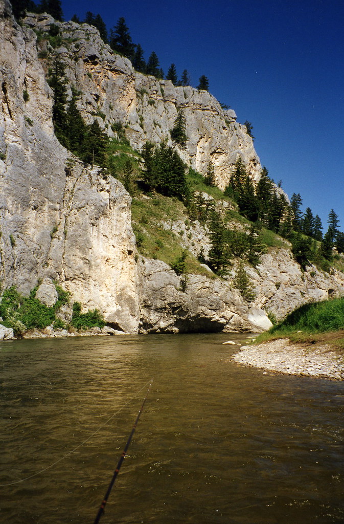
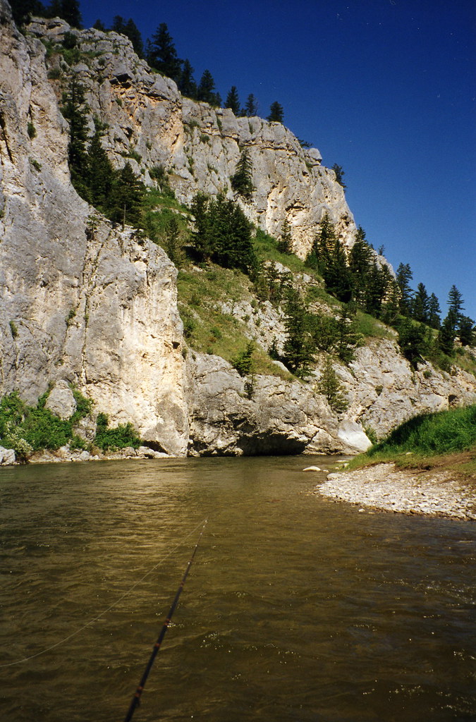
Smith River Montana 104
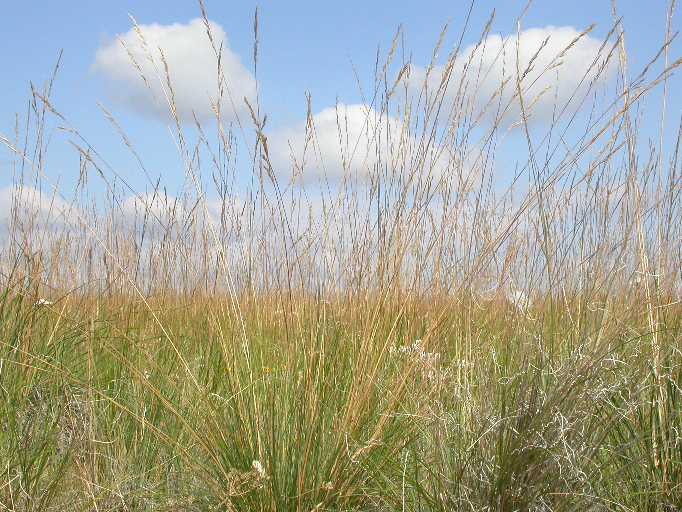
Festuca campestris
Festuca idahoensis
Agropyron spicatum
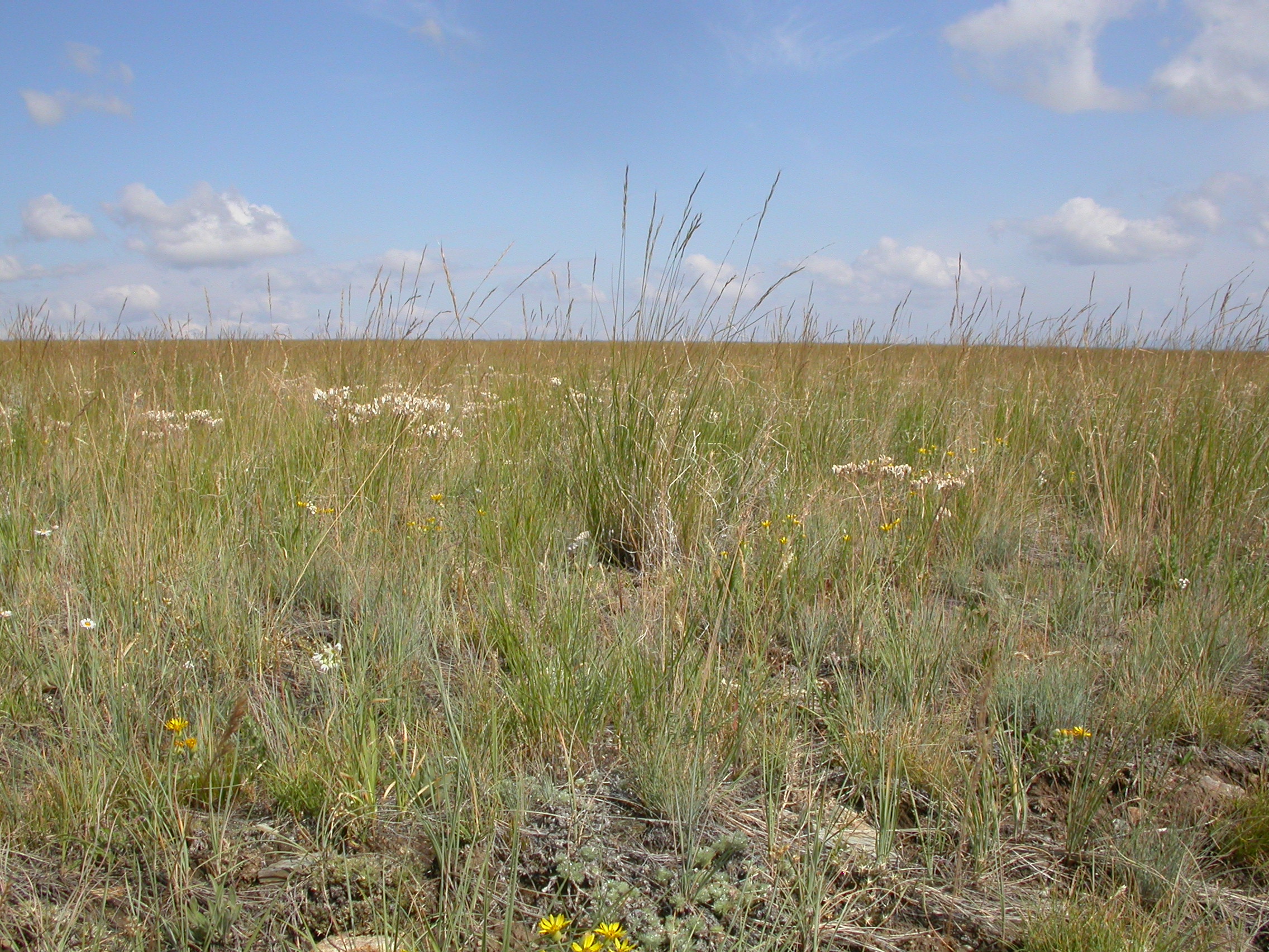
Festuca campestris
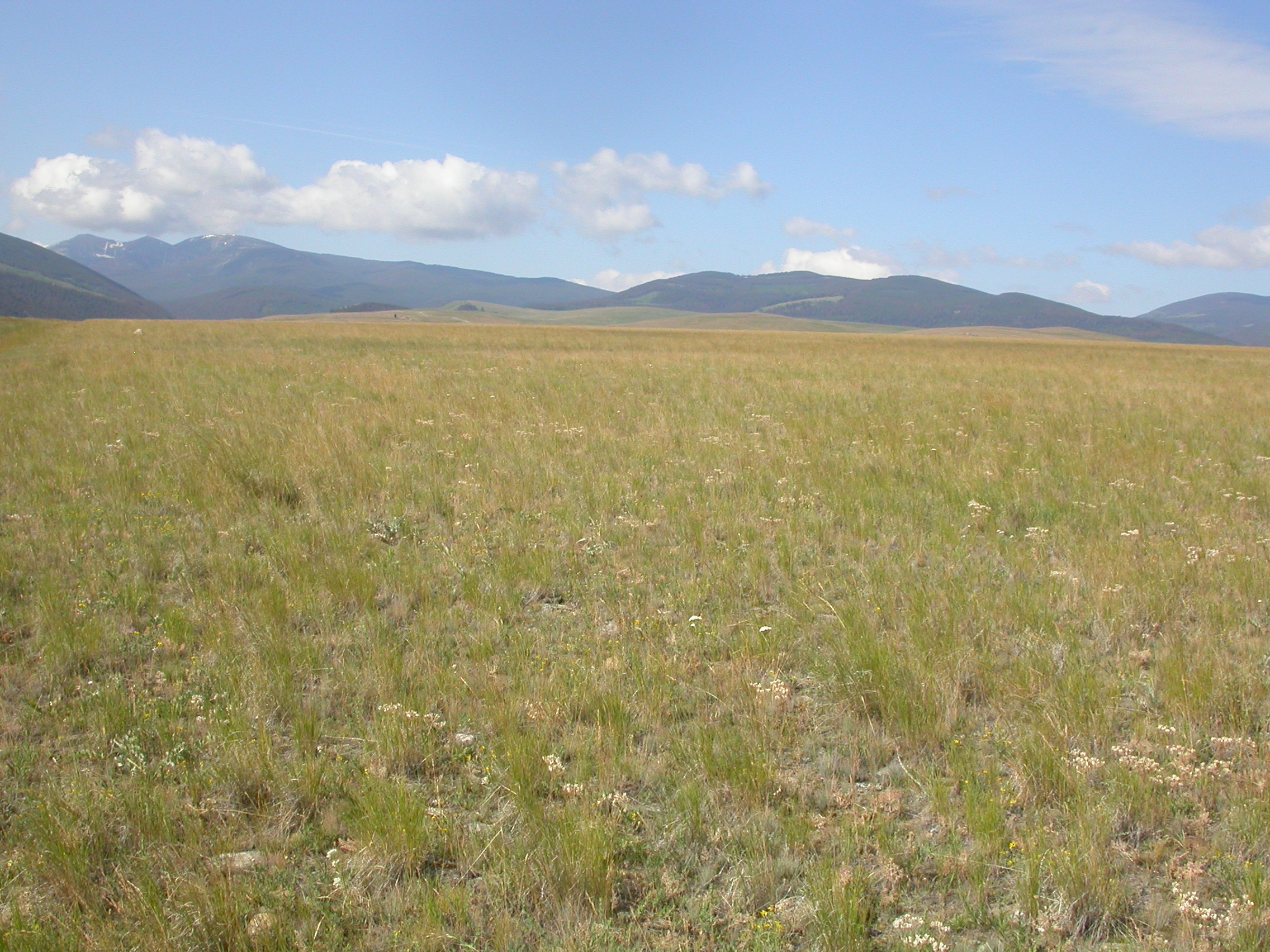
Agropyron spicatum
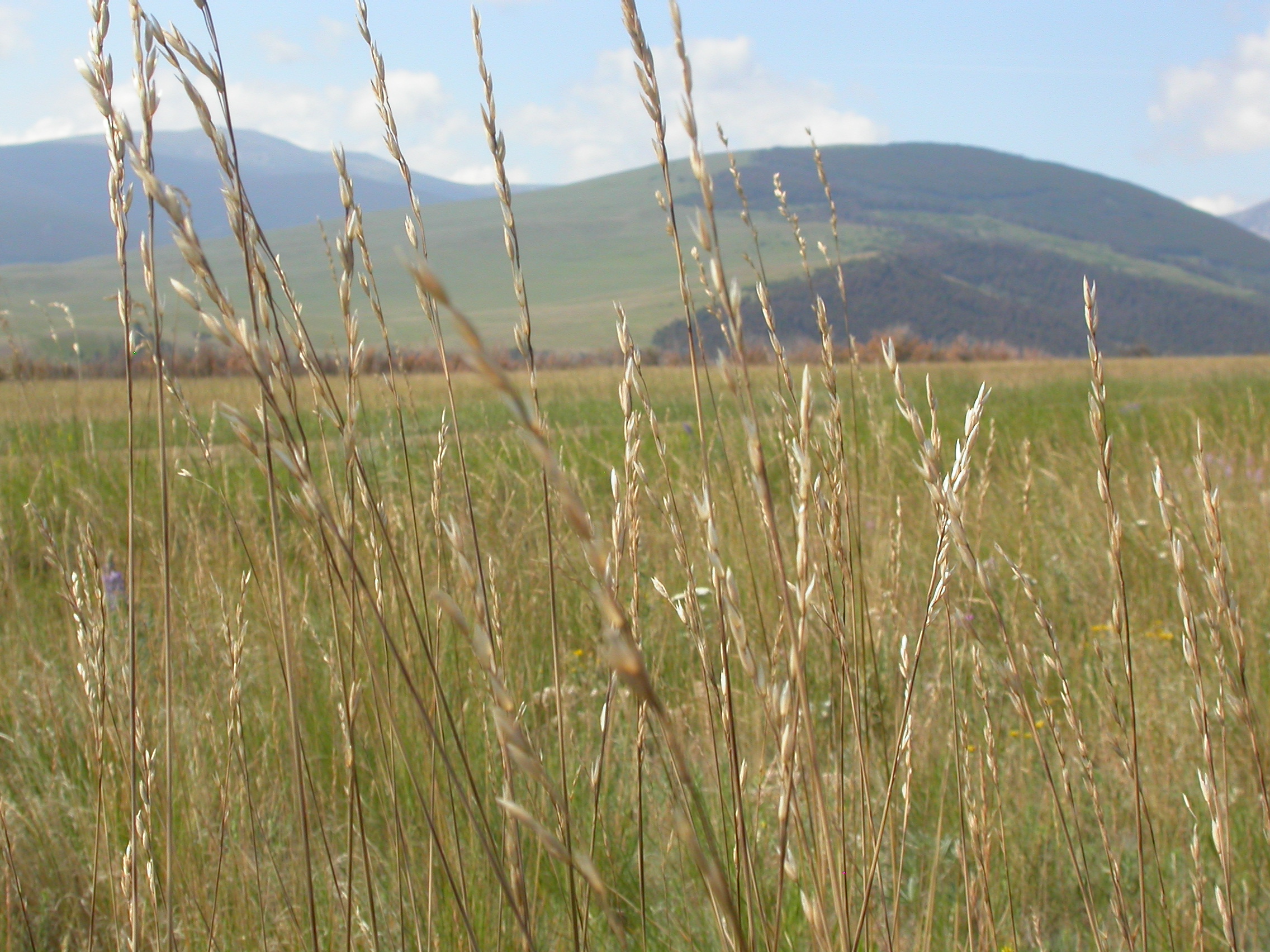
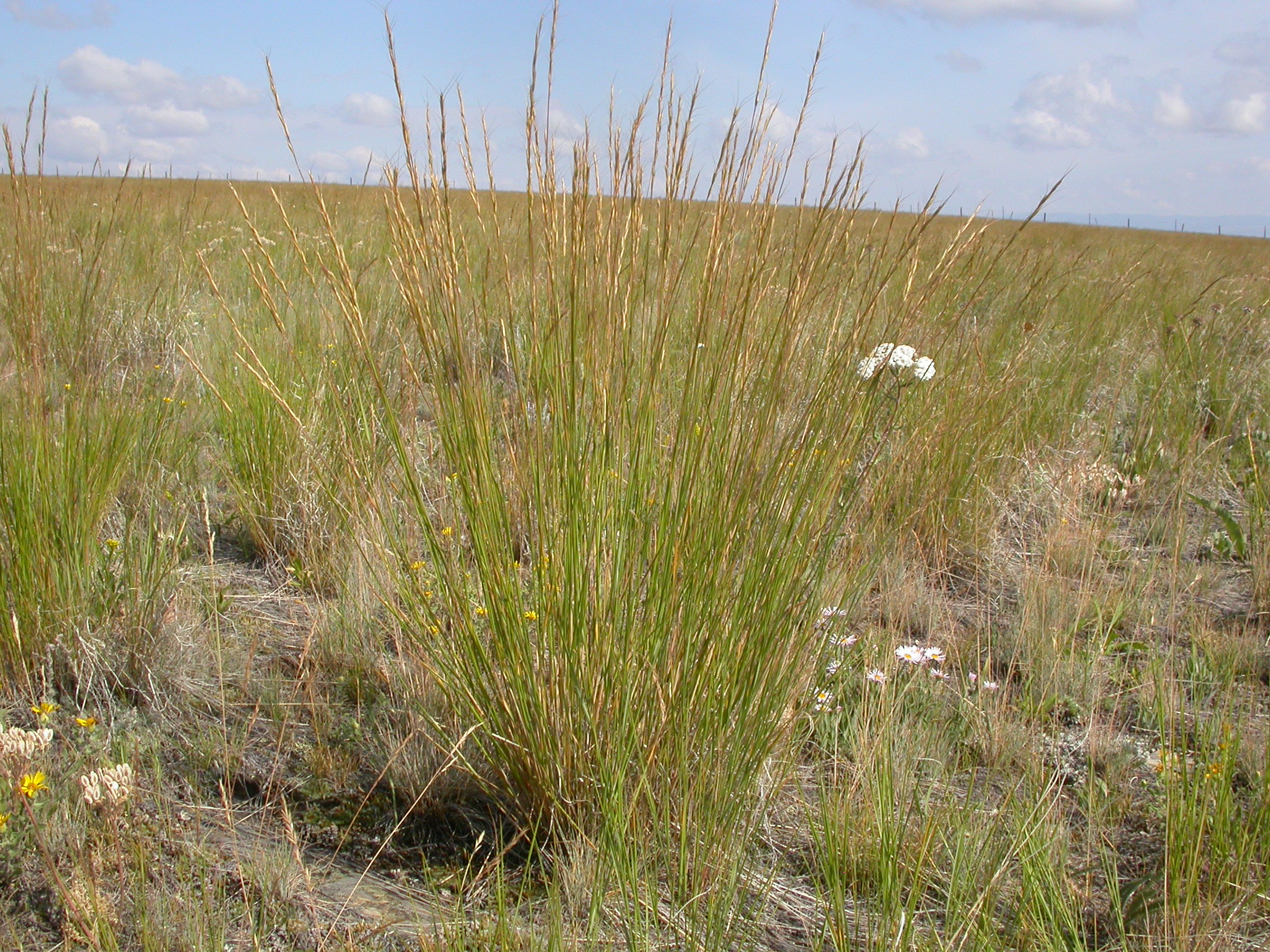
Festuca campestris
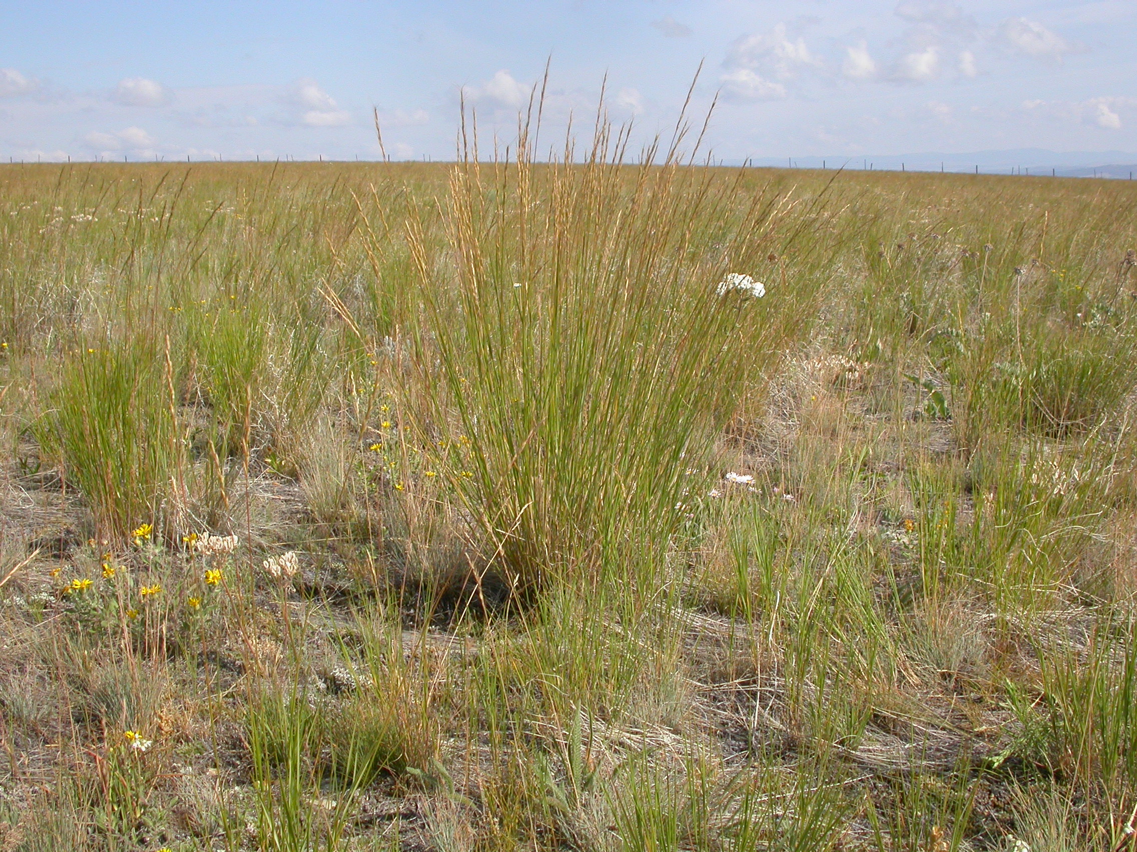
Agropyron spicatum
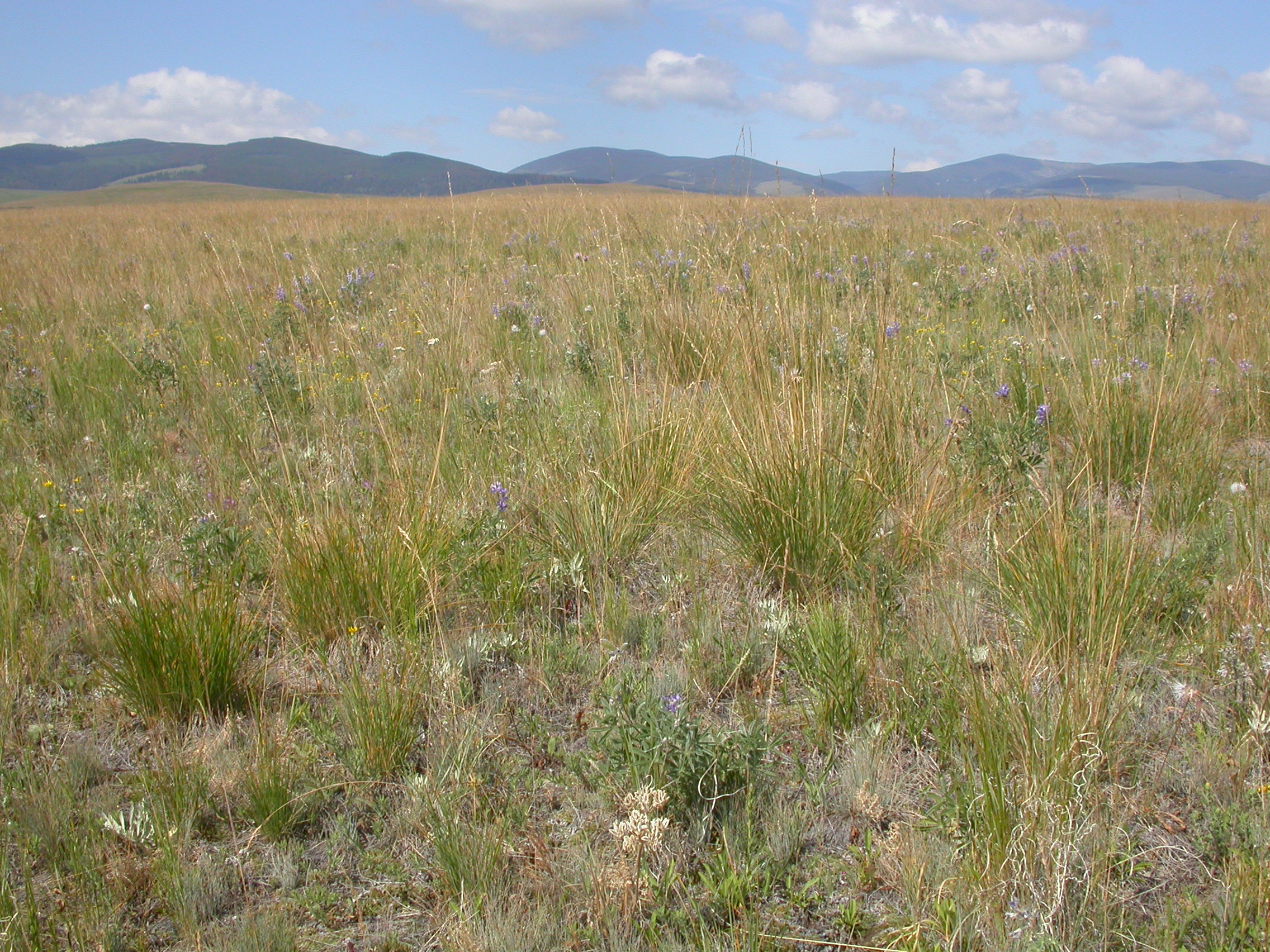
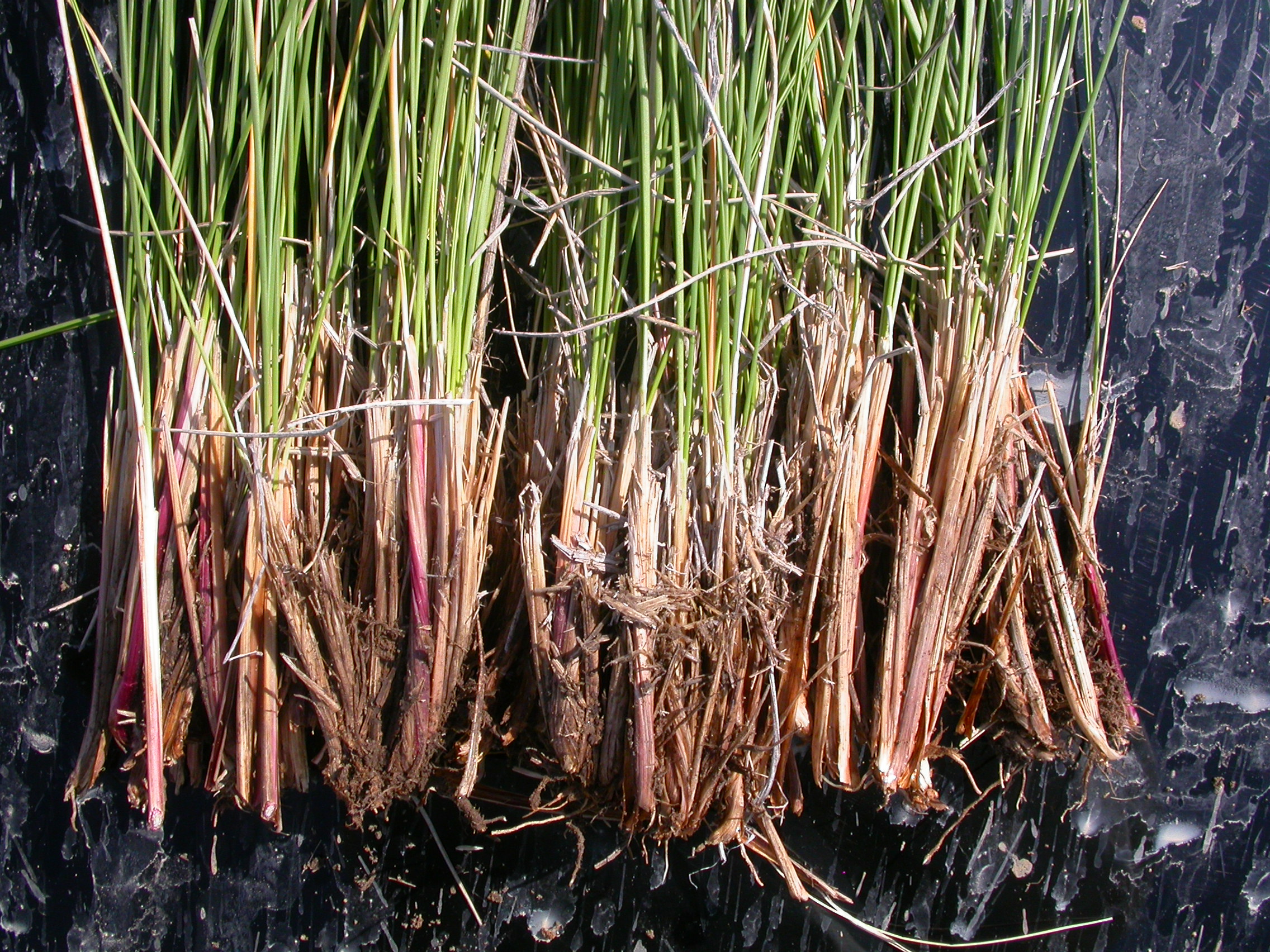
Festuca campestris
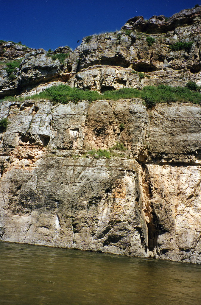
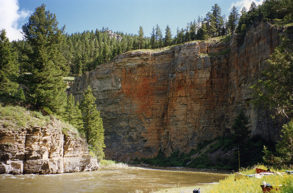
Smith River Montana 105
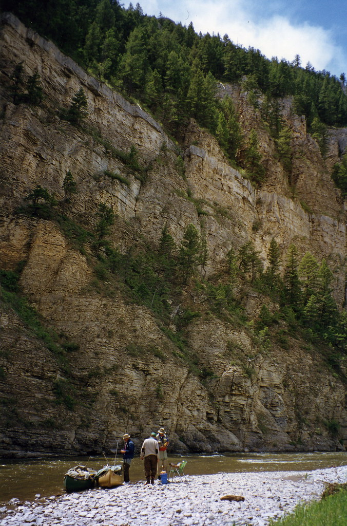
Smith River Montana 106
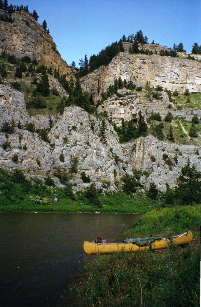
Smith River Montana 109
Smith River Montana 103
Smith River Montana 107
Smith River Montana 108
Topographic Map of Hwy, White Sulphur Springs, MT, USA
Find elevation by address:

Places near Hwy, White Sulphur Springs, MT, USA:
Big Belt Mountains
Edith Lake
Mount Baldy
White Gulch Rd, Townsend, MT, USA
State Hwy, Townsend, MT, USA
Evans Riceville Rd, Stockett, MT, USA
76 Weasel Creek Rd
154 Jimmy Green Rd
3855 Osprey Ridge Dr
7180 Trout Creek Rd
3 Rocking Km Rd
3635 Keir Dr
2580 Spokane Creek Rd
2525 Mitchell Gulch Rd
6915 Craigle Ln
6900 Craigle Ln
5230 Peaks View Dr
4955 Ridge Crest Rd
282 10 Mile Rd
5330 York Rd
Recent Searches:
- Elevation of Corso Fratelli Cairoli, 35, Macerata MC, Italy
- Elevation of Tallevast Rd, Sarasota, FL, USA
- Elevation of 4th St E, Sonoma, CA, USA
- Elevation of Black Hollow Rd, Pennsdale, PA, USA
- Elevation of Oakland Ave, Williamsport, PA, USA
- Elevation of Pedrógão Grande, Portugal
- Elevation of Klee Dr, Martinsburg, WV, USA
- Elevation of Via Roma, Pieranica CR, Italy
- Elevation of Tavkvetili Mountain, Georgia
- Elevation of Hartfords Bluff Cir, Mt Pleasant, SC, USA