Elevation of Hwy, Powderly, TX, USA
Location: United States > Texas > Lamar County >
Longitude: -95.616905
Latitude: 33.865195
Elevation: 161m / 528feet
Barometric Pressure: 99KPa
Elevation Map:
Satellite Map:
Related Photos:

Thursday Morning Sunrise
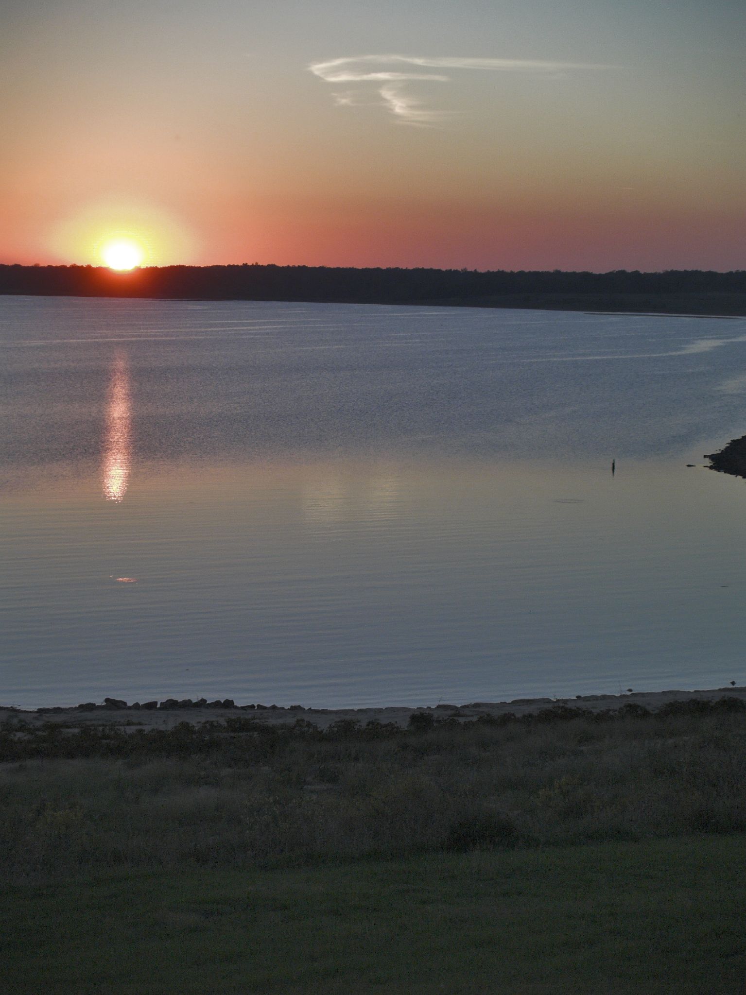
Sunset at Pat Mayse Lake

Weapon Repair
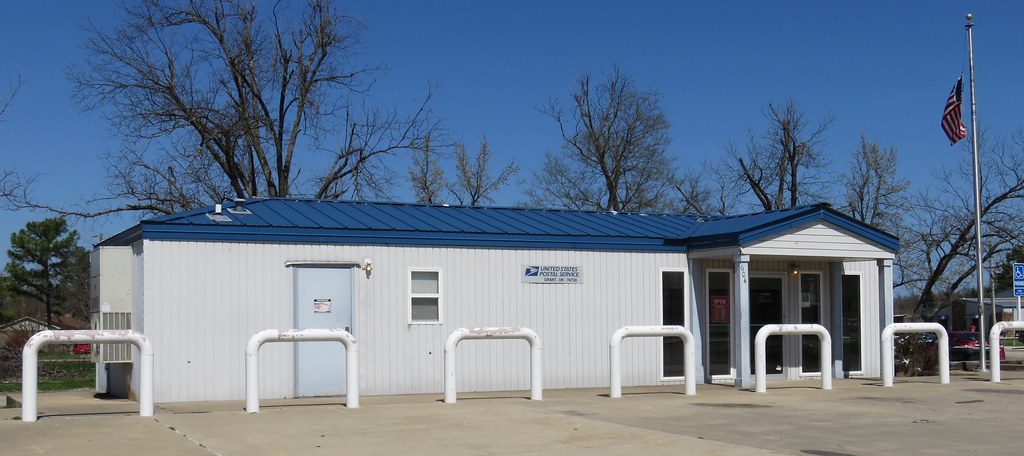
Post Office 74738 (Grant, Oklahoma)
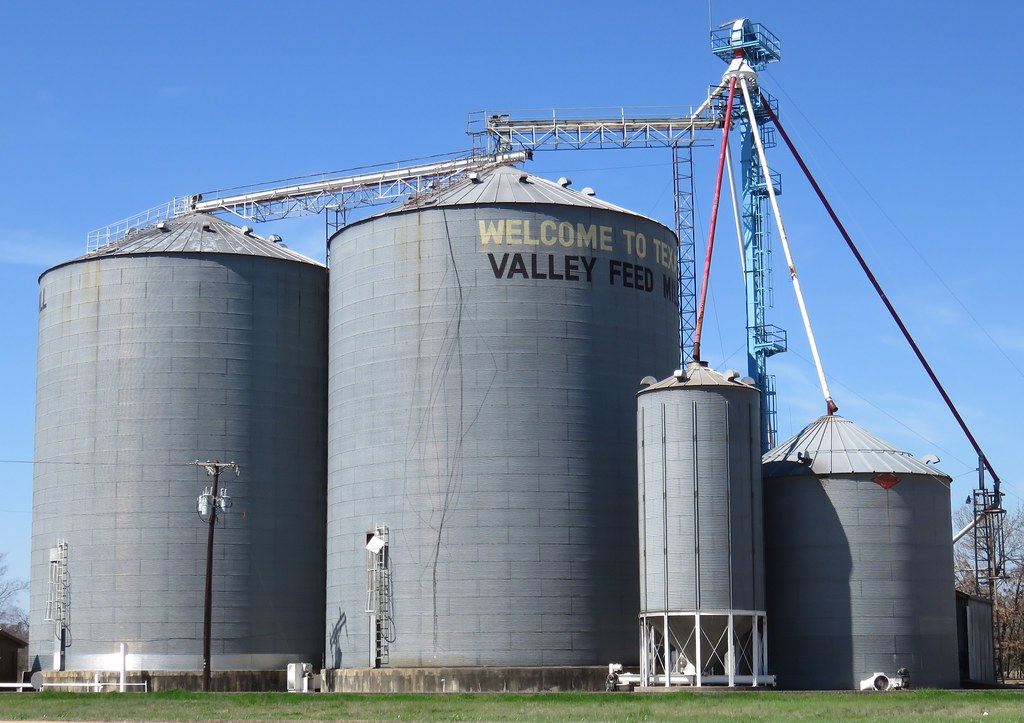
Welcome to Texas Grain Elevator (Arthur City, Texas)
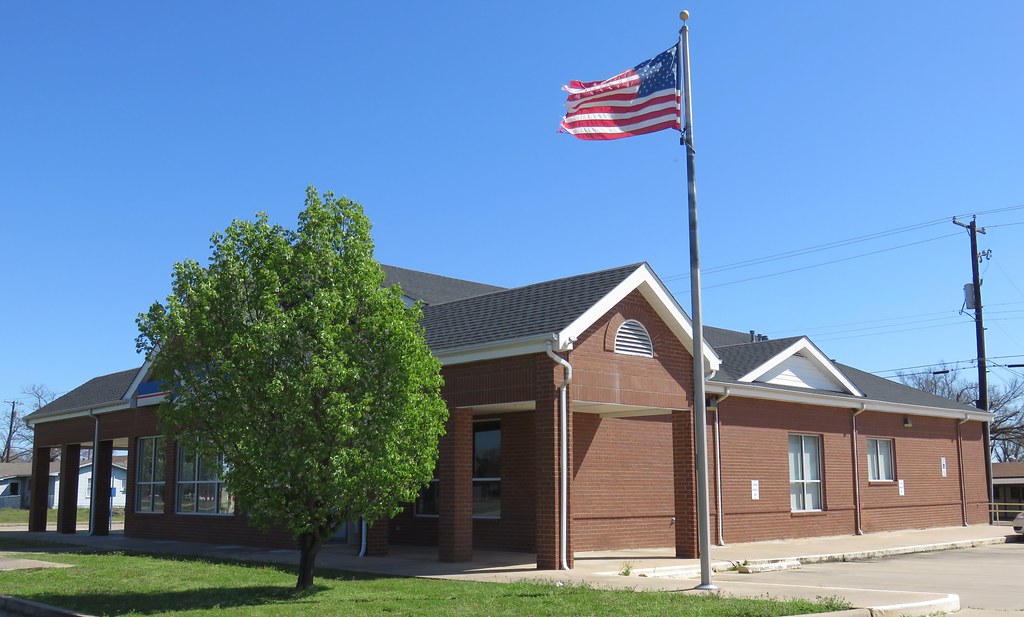
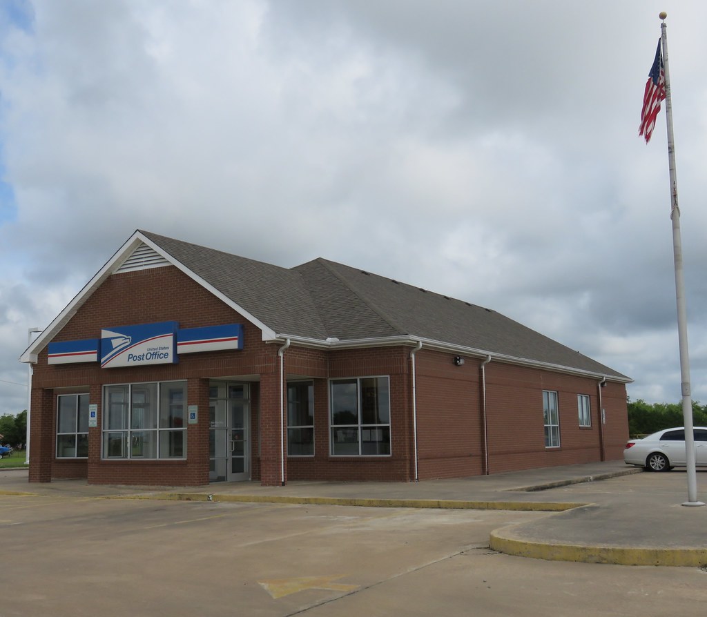
Post Office 75473 (Powderly, Texas)
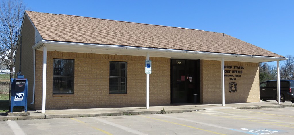
Post Office 75425 (Chicota, Texas)

Post Office 75411 (Arthur City, Texas)
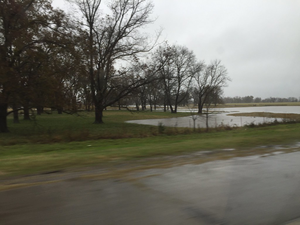
Trip to East Texas
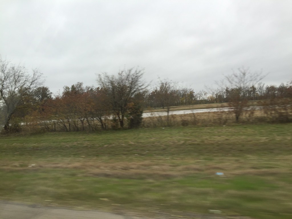
Trip to East Texas
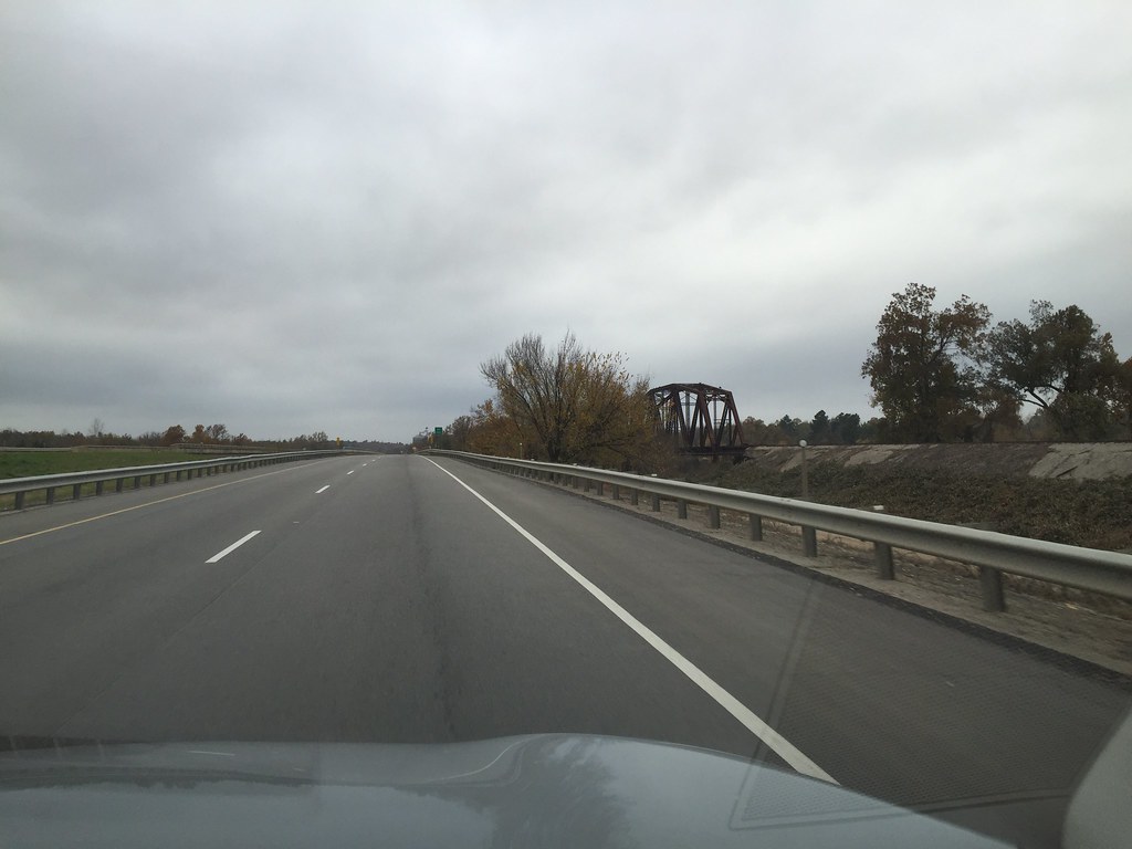
Trip to East Texas
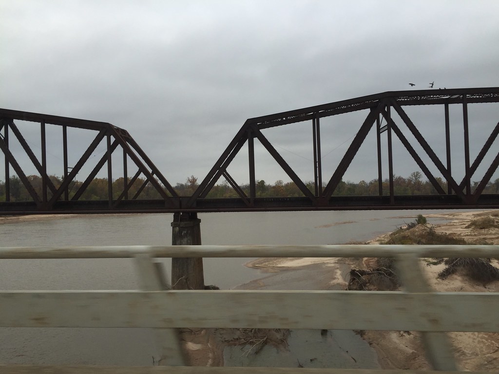
Trip to East Texas
Post Office 75486 (Sumner, Texas)
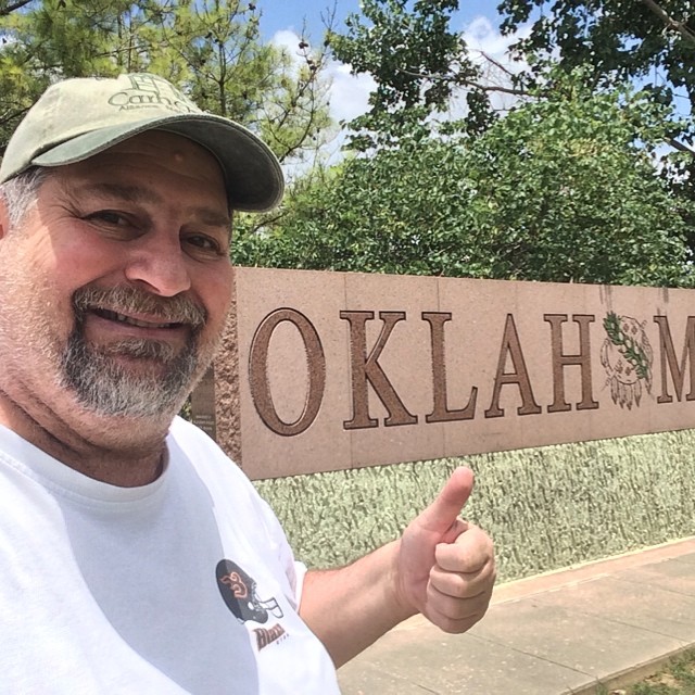
Howdy from #oklahoma #usroute271 #travel #roadtrip #roadwarrior #50selfies

20140421_16184201.jpg

20140421_16182901.jpg

20140421_16181601.jpg

20140421_16180601.jpg

20140421_16150501-Edit.jpg

20140421_15552501-Edit.jpg
Topographic Map of Hwy, Powderly, TX, USA
Find elevation by address:

Places near Hwy, Powderly, TX, USA:
Co Rd, Arthur City, TX, USA
Powderly
Arthur City
County Road 33850
County Road 33850
Grant
Powderly, TX, USA
2383 County Rd 44250
2383 County Rd 44250
Choctaw County
Hugo
County Rd, Blossom, TX, USA
Antlers
US-70, Valliant, OK, USA
Valliant
Cloudy
Albion
Millerton
Pushmataha County
Clayton Lake State Park
Recent Searches:
- Elevation of Corso Fratelli Cairoli, 35, Macerata MC, Italy
- Elevation of Tallevast Rd, Sarasota, FL, USA
- Elevation of 4th St E, Sonoma, CA, USA
- Elevation of Black Hollow Rd, Pennsdale, PA, USA
- Elevation of Oakland Ave, Williamsport, PA, USA
- Elevation of Pedrógão Grande, Portugal
- Elevation of Klee Dr, Martinsburg, WV, USA
- Elevation of Via Roma, Pieranica CR, Italy
- Elevation of Tavkvetili Mountain, Georgia
- Elevation of Hartfords Bluff Cir, Mt Pleasant, SC, USA