Elevation of Hwy, Comanche, TX, USA
Location: United States > Texas > Comanche County > Comanche >
Longitude: -98.566548
Latitude: 31.9484499
Elevation: 387m / 1270feet
Barometric Pressure: 97KPa
Elevation Map:
Satellite Map:
Related Photos:
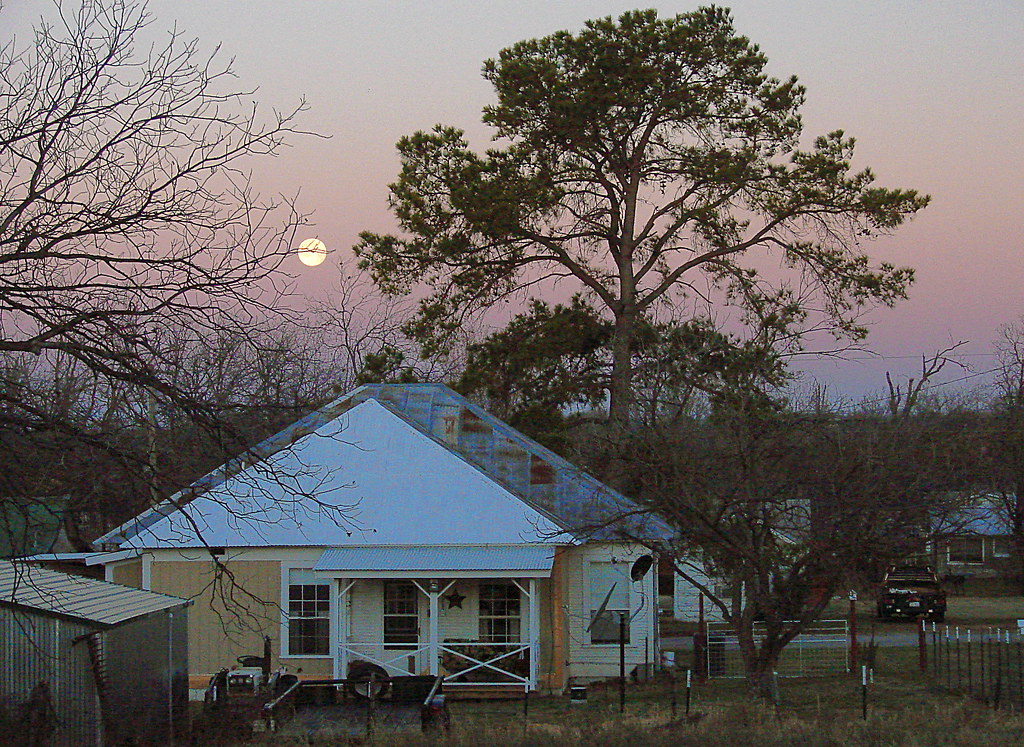
Morning in the Town

There are the few, that day in and day out that push past what is viewed as normal. They refuse to take the easy path. These few push past boundaries that seem impossible. They know they aren't blessed with natural ability or talent. So they put in the ha

Sunset On The Leon River
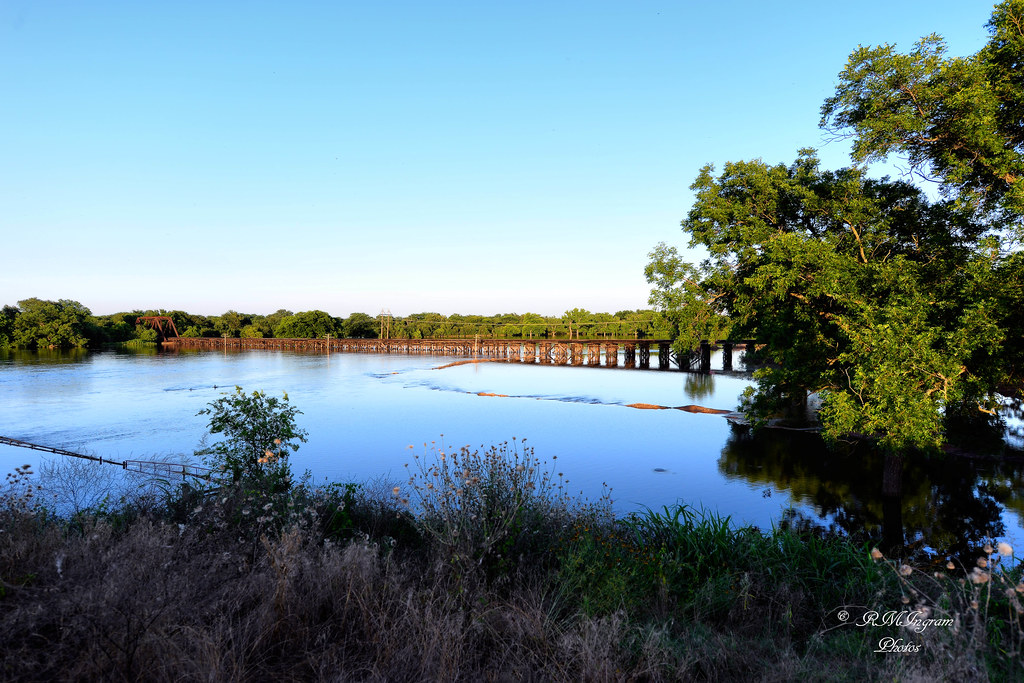
Leon River
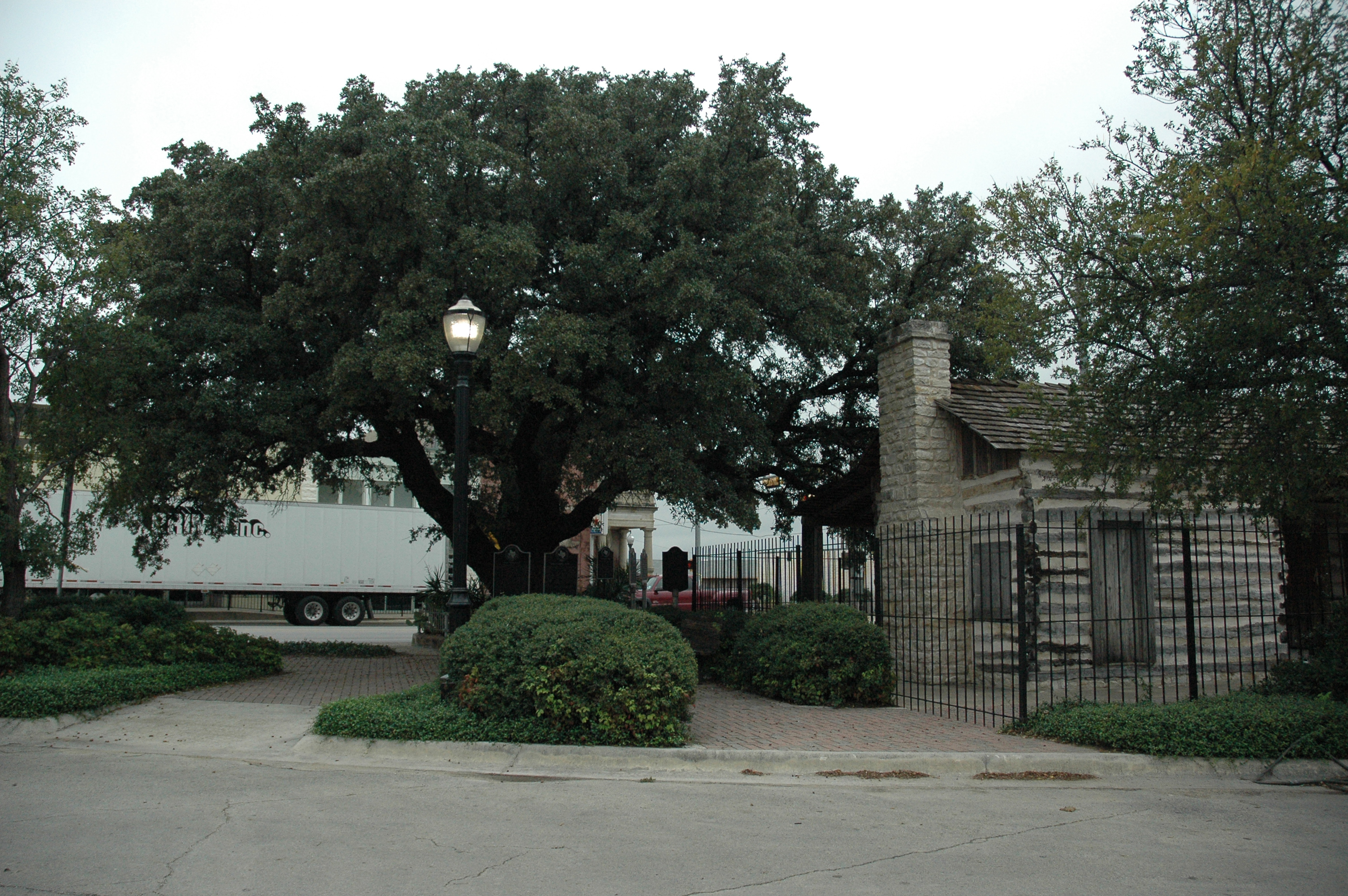
Fleming Oak

Morning Wood

What Have You HERD.....

Comanche Sunset
Topographic Map of Hwy, Comanche, TX, USA
Find elevation by address:

Places near Hwy, Comanche, TX, USA:
TX-16, Comanche, TX, USA
Cr, Comanche, TX, USA
Comanche County
105 W Walcott Ave
203 W Walcott Ave
Comanche
TX-16, De Leon, TX, USA
Co Rd, Comanche, TX, USA
351 Co Rd 465
201 E Pecan Ave
County Road
1651 Fm1496
De Leon
De Leon, TX, USA
Fm Sidney, Comanche, TX, USA
Hwy, De Leon, TX, USA
13803 Fm 2156
Blanket
Priddy
700 Farm To Market 590
Recent Searches:
- Elevation of Corso Fratelli Cairoli, 35, Macerata MC, Italy
- Elevation of Tallevast Rd, Sarasota, FL, USA
- Elevation of 4th St E, Sonoma, CA, USA
- Elevation of Black Hollow Rd, Pennsdale, PA, USA
- Elevation of Oakland Ave, Williamsport, PA, USA
- Elevation of Pedrógão Grande, Portugal
- Elevation of Klee Dr, Martinsburg, WV, USA
- Elevation of Via Roma, Pieranica CR, Italy
- Elevation of Tavkvetili Mountain, Georgia
- Elevation of Hartfords Bluff Cir, Mt Pleasant, SC, USA