Elevation of Hwy 98 W, Carrabelle, FL, USA
Location: United States > Florida > Franklin County > Carrabelle >
Longitude: -84.731208
Latitude: 29.808074
Elevation: 3m / 10feet
Barometric Pressure: 101KPa
Elevation Map:
Satellite Map:
Related Photos:
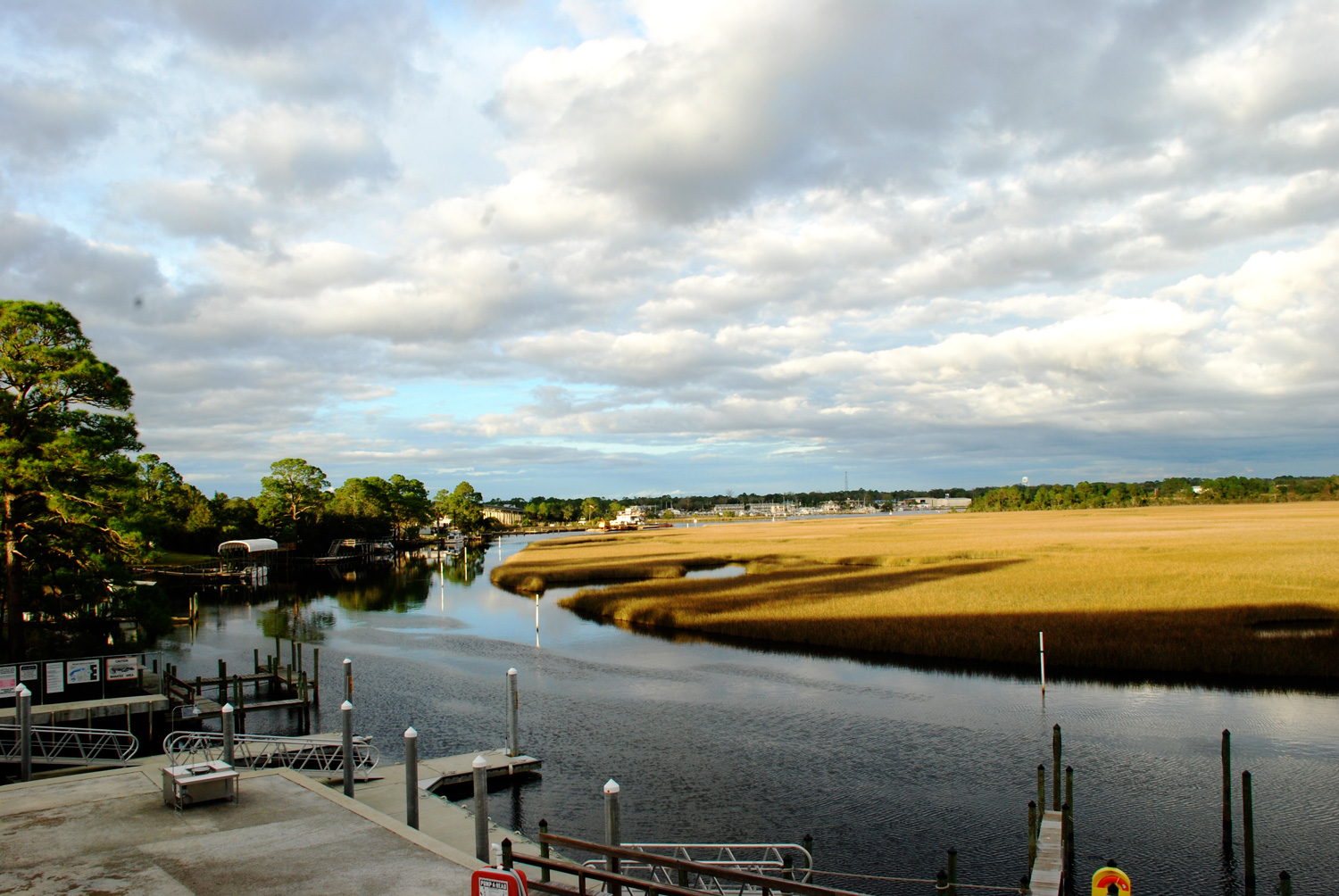
View from the Boat Club
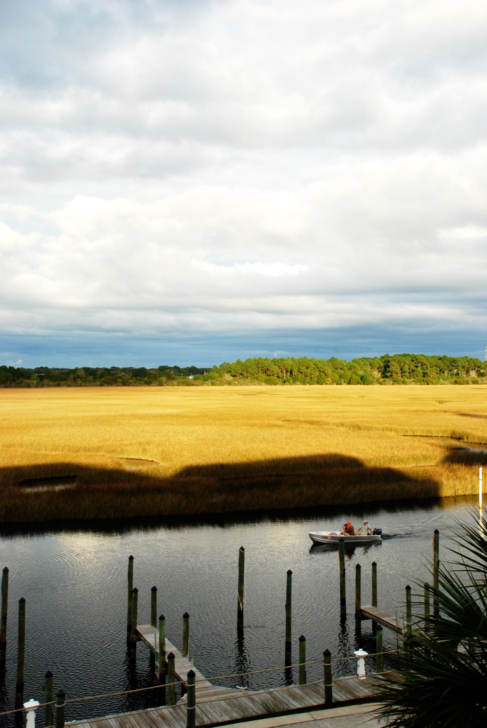
View from the Boat Club
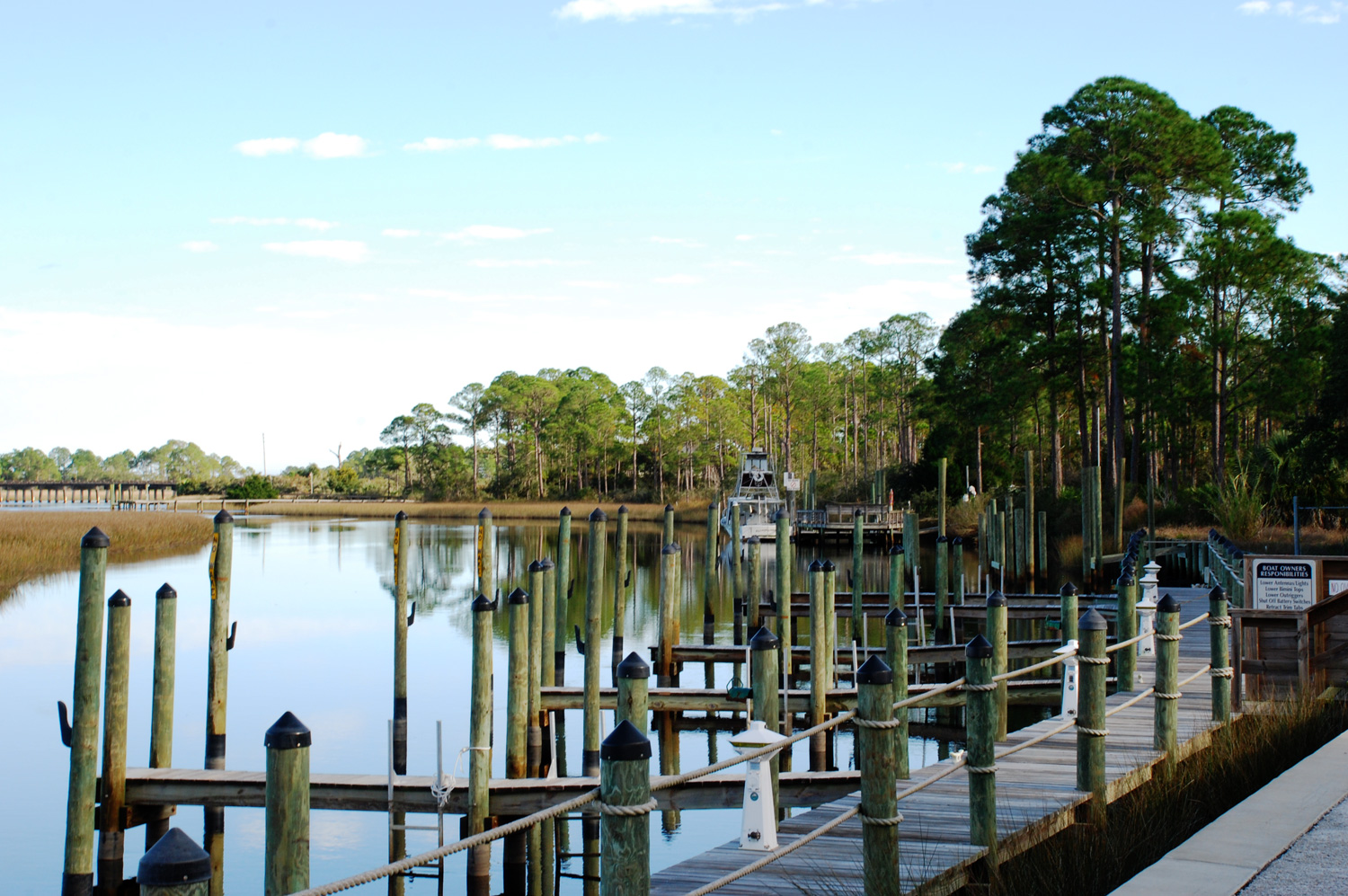
View from the Boat Club
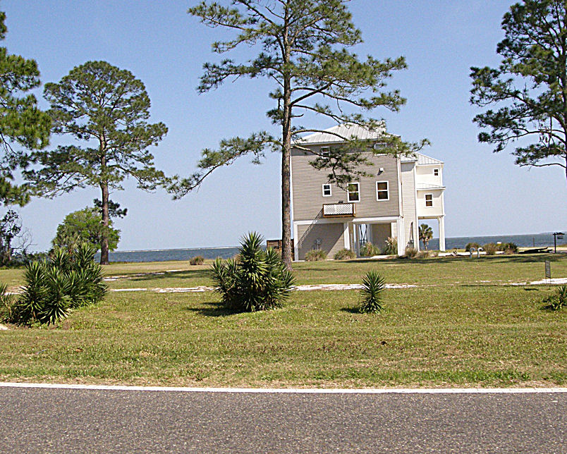
Unique Housing Design on the Florida Gulf Coast near Carrabelle - US98 - Hypotenuse Trail
Carabelle, Florida
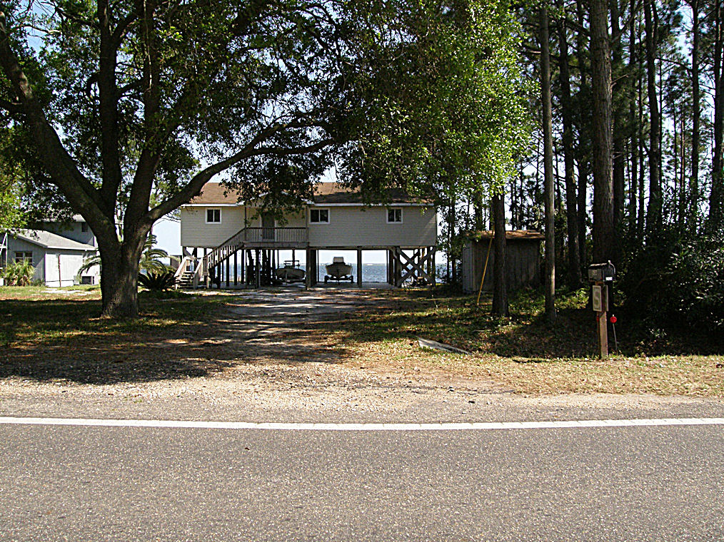
Unique Housing Design on the Florida Gulf Coast near Carrabelle - US98 - Hypotenuse Trail
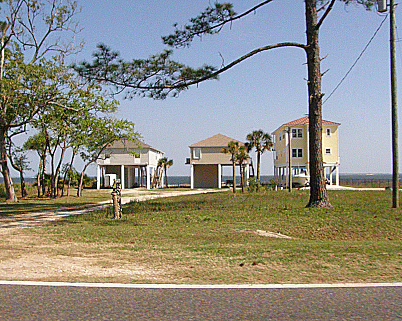
Unique Housing Design on the Florida Gulf Coast near Carrabelle - US98 - Hypotenuse Trail
stgeorge 050
stgeorge 126

stgeorge 122
Florida Oranges
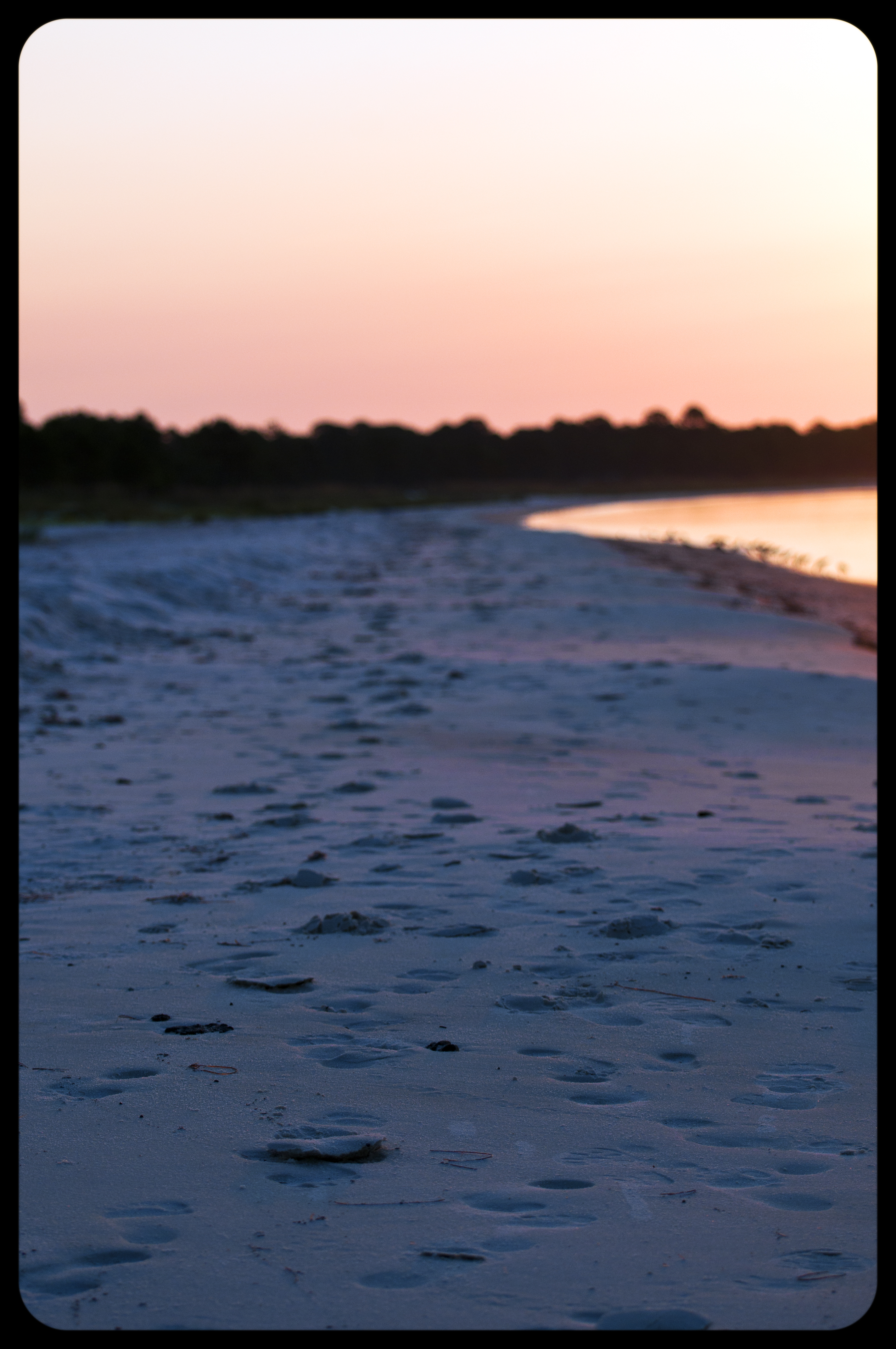
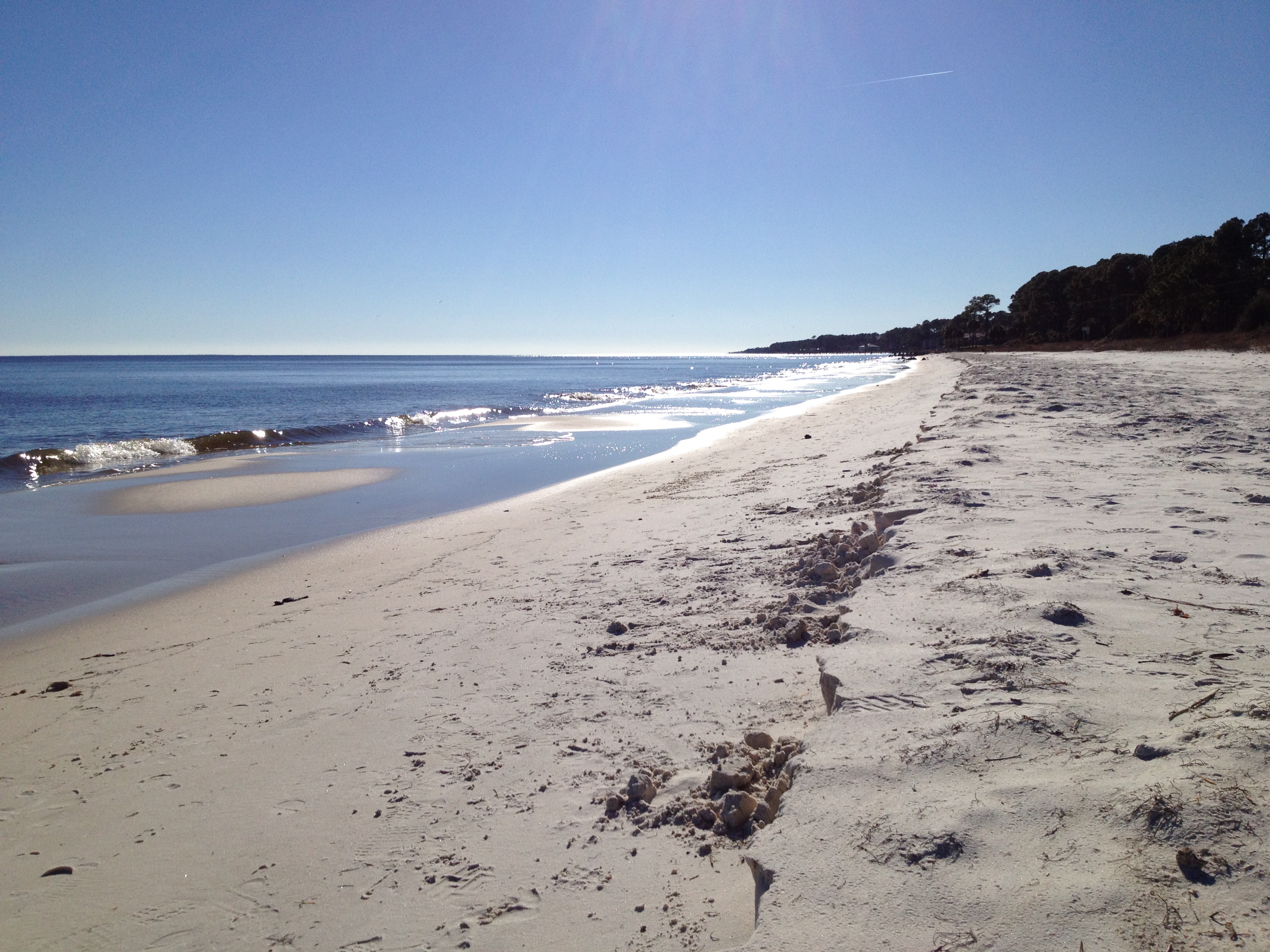
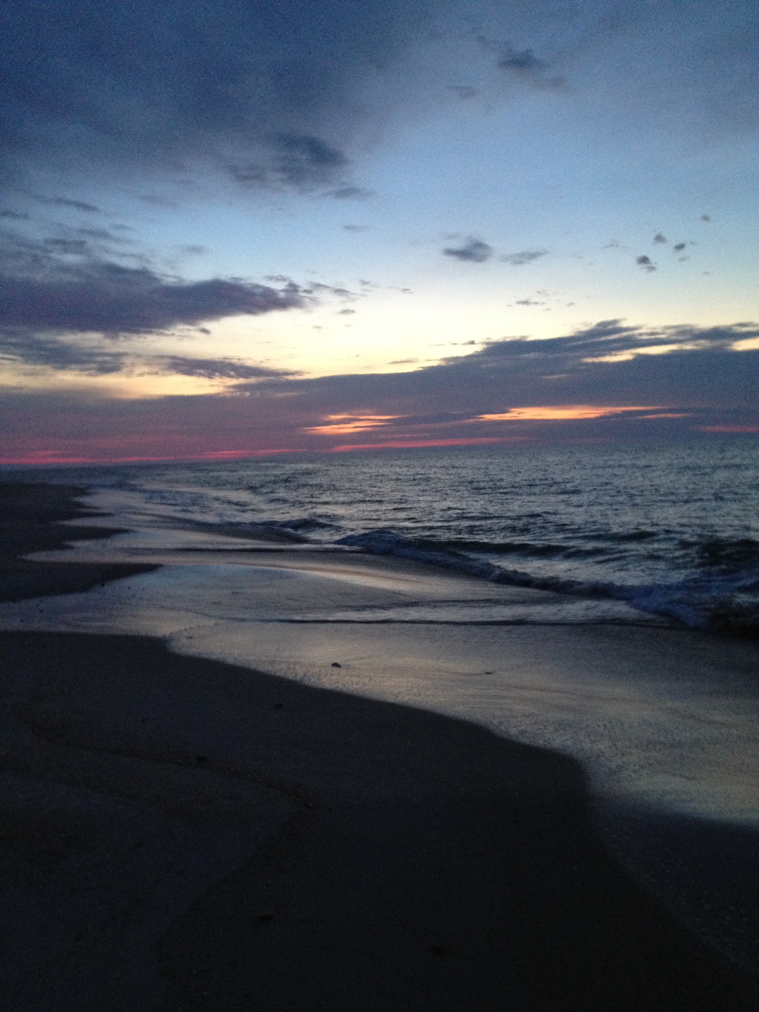
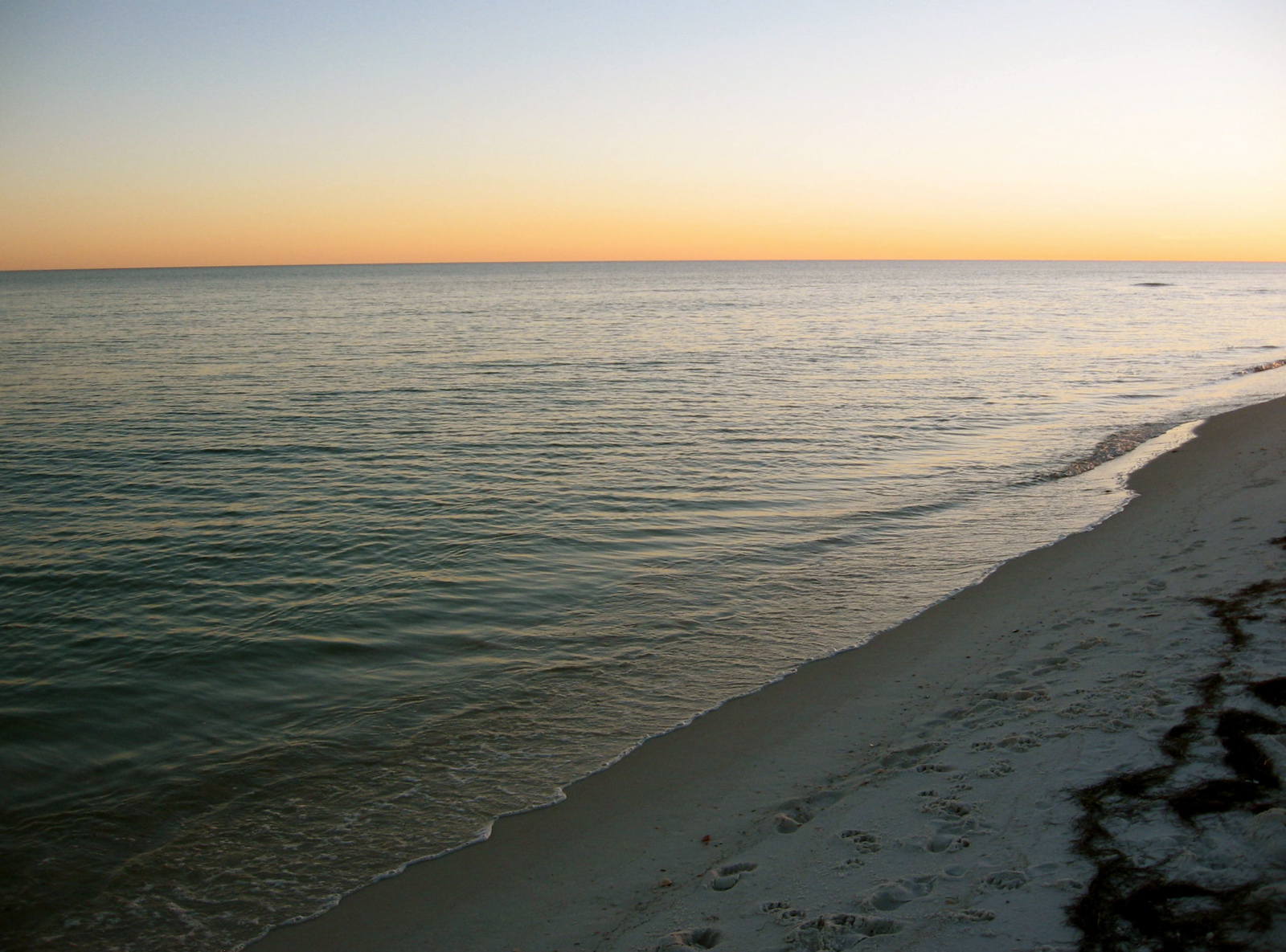
Footsteps in the Sand on Carrabelle Beach
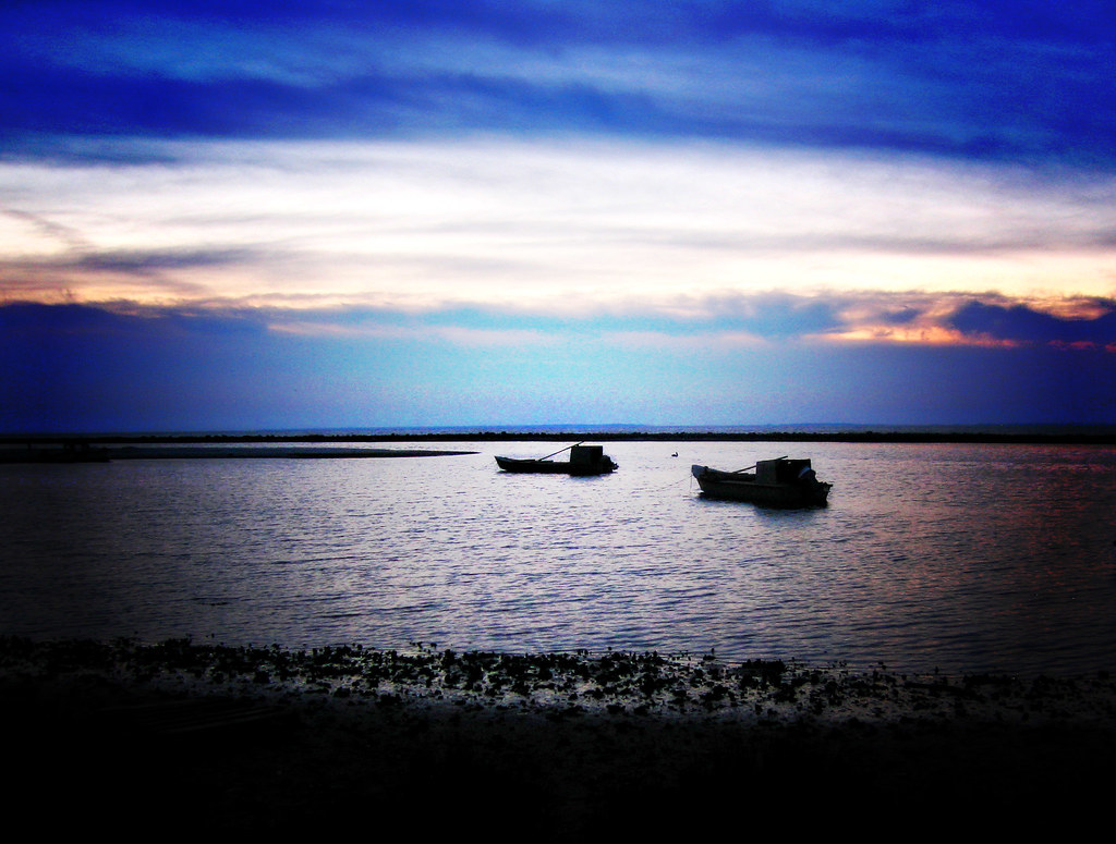
Oyster Boats
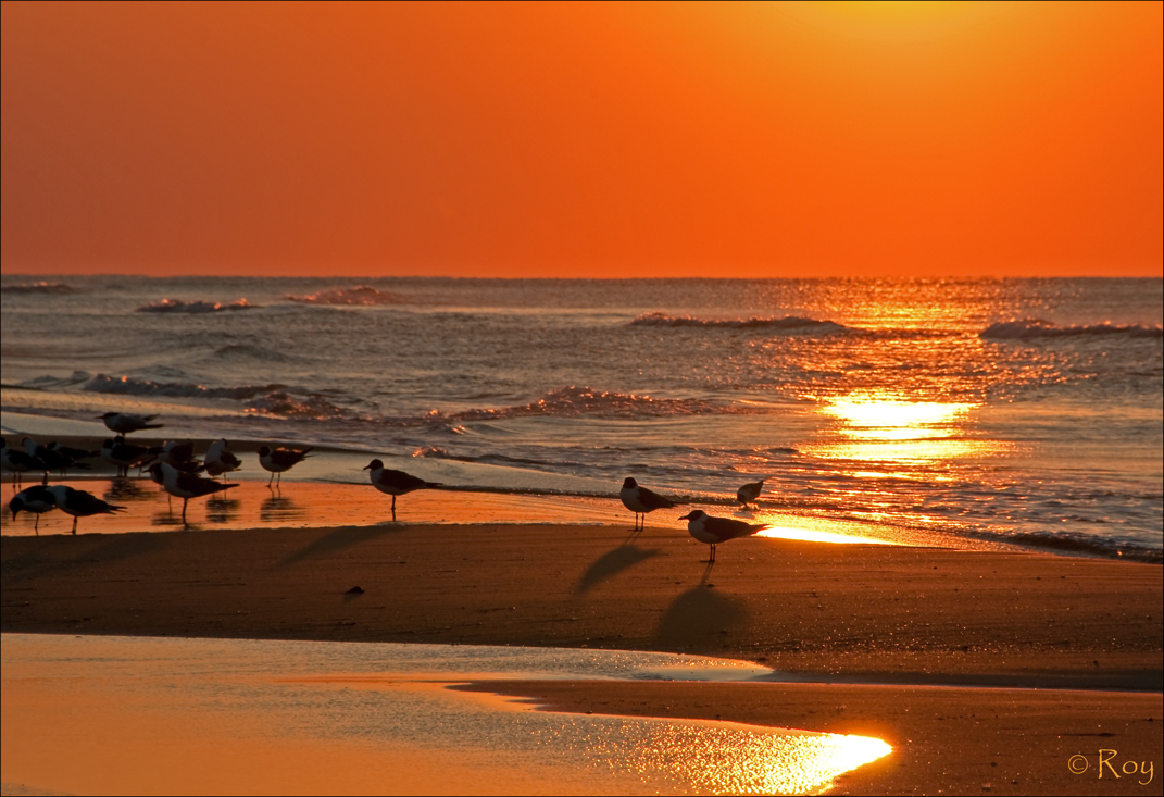
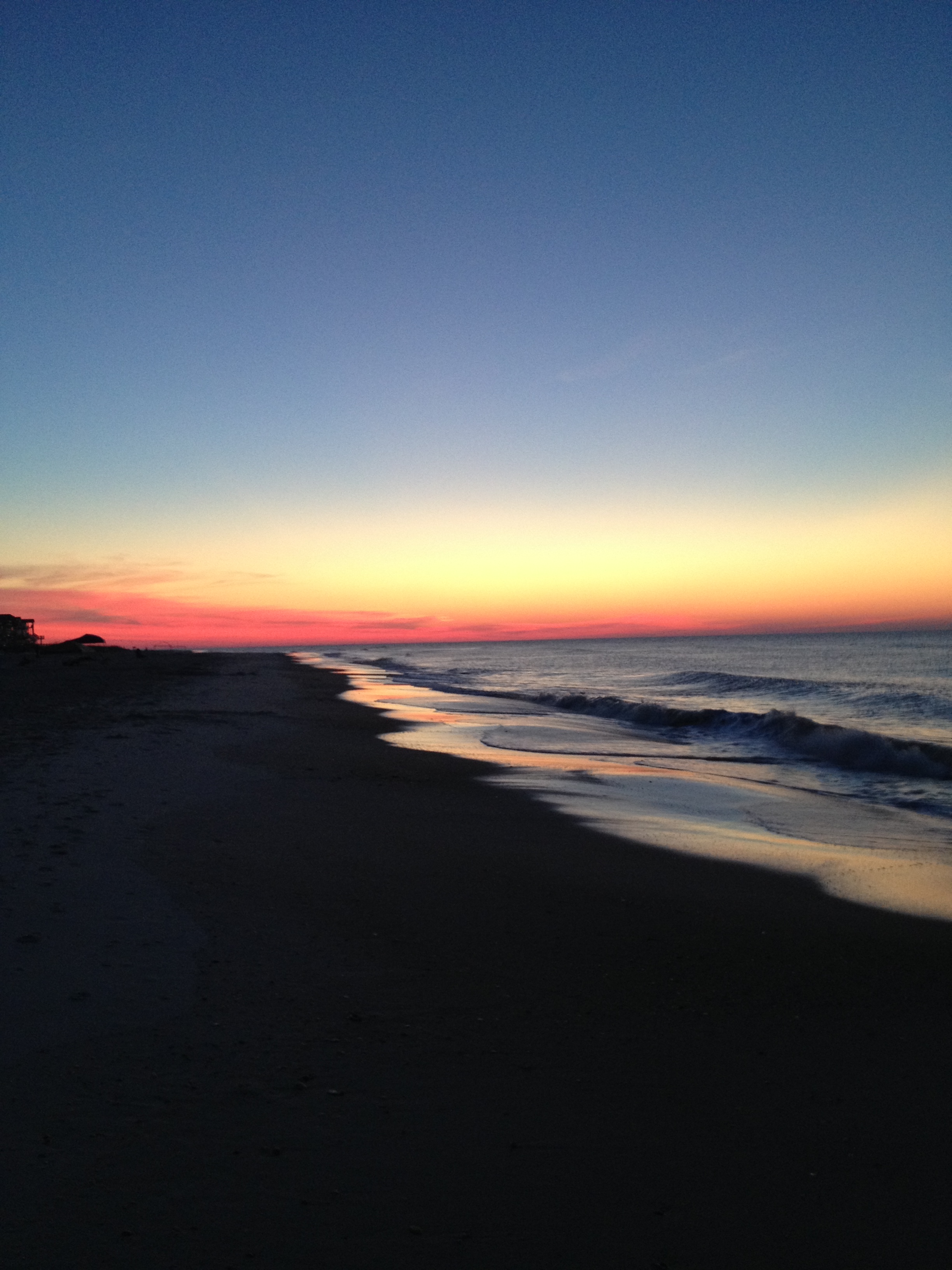
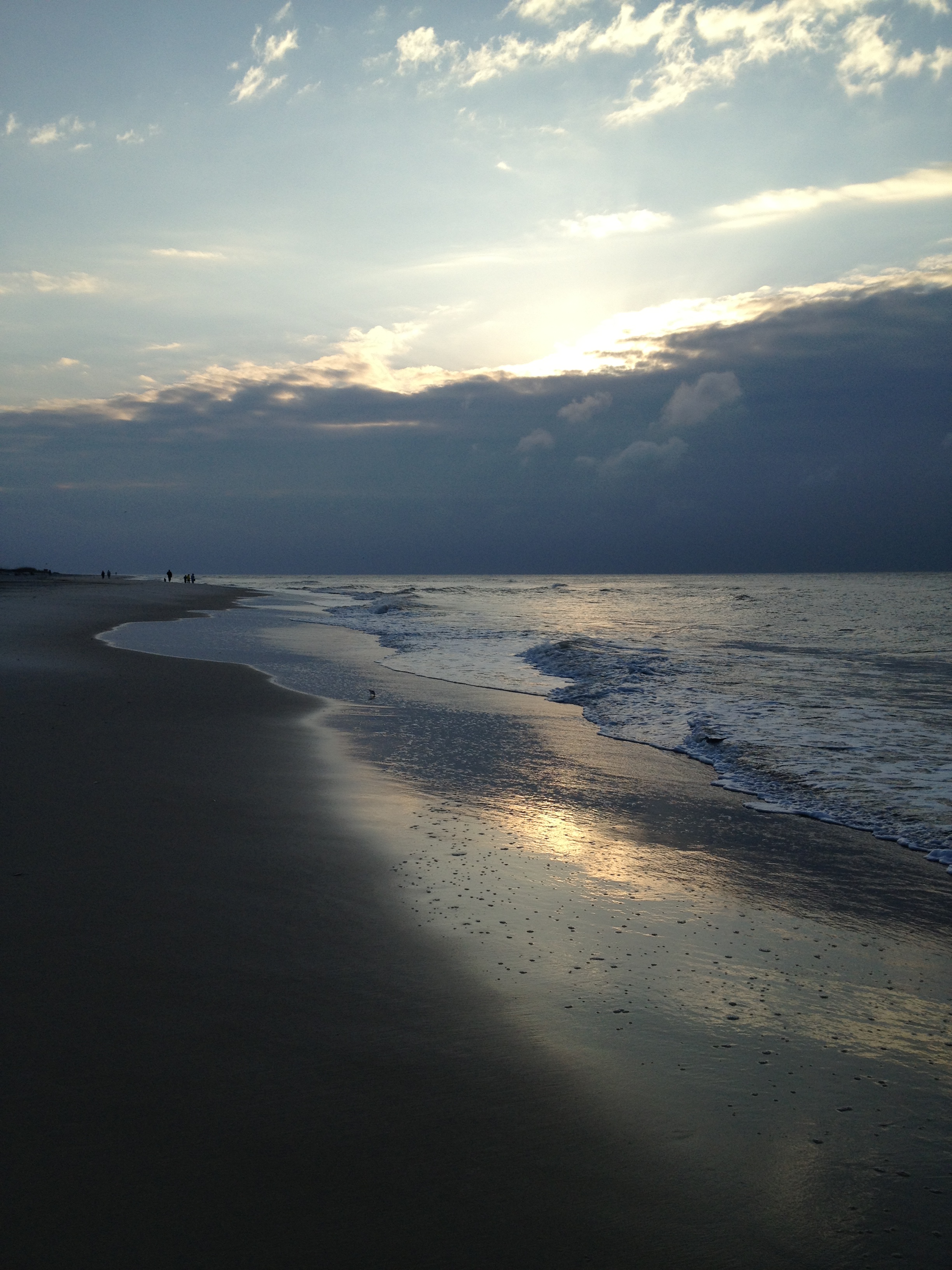
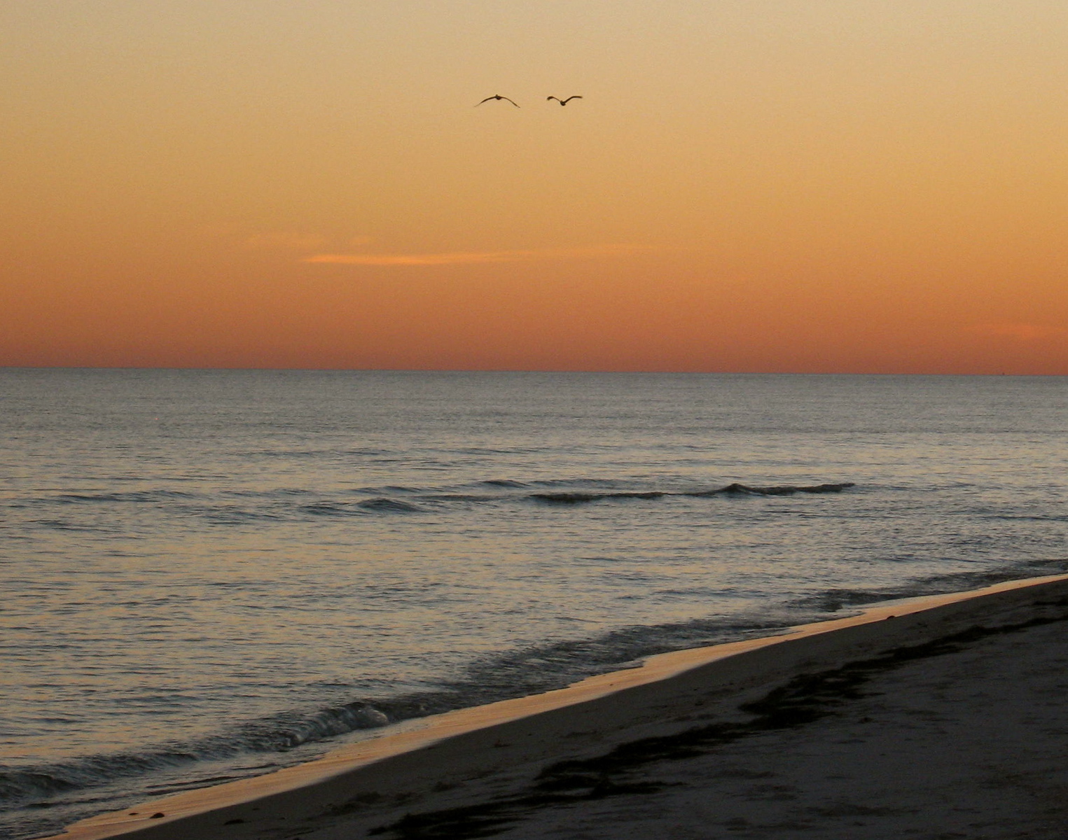
Sunrise - St. George Island
IMG_0290.JPG
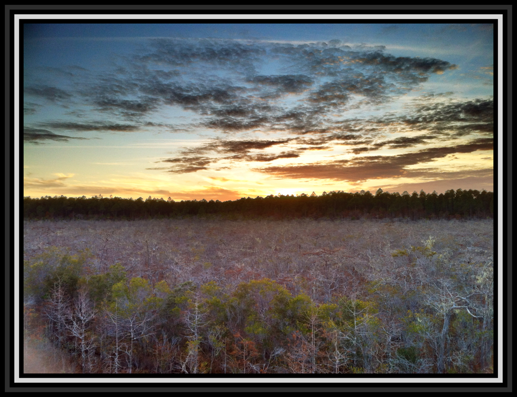
Tate's Hell State Forest, FL

stgeorge 048
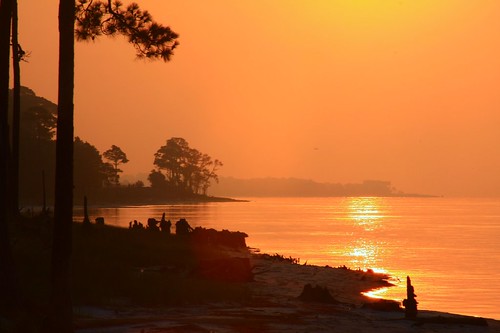
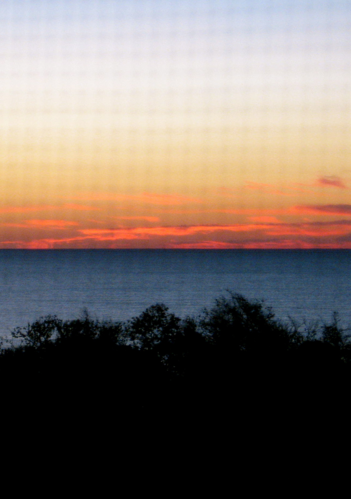
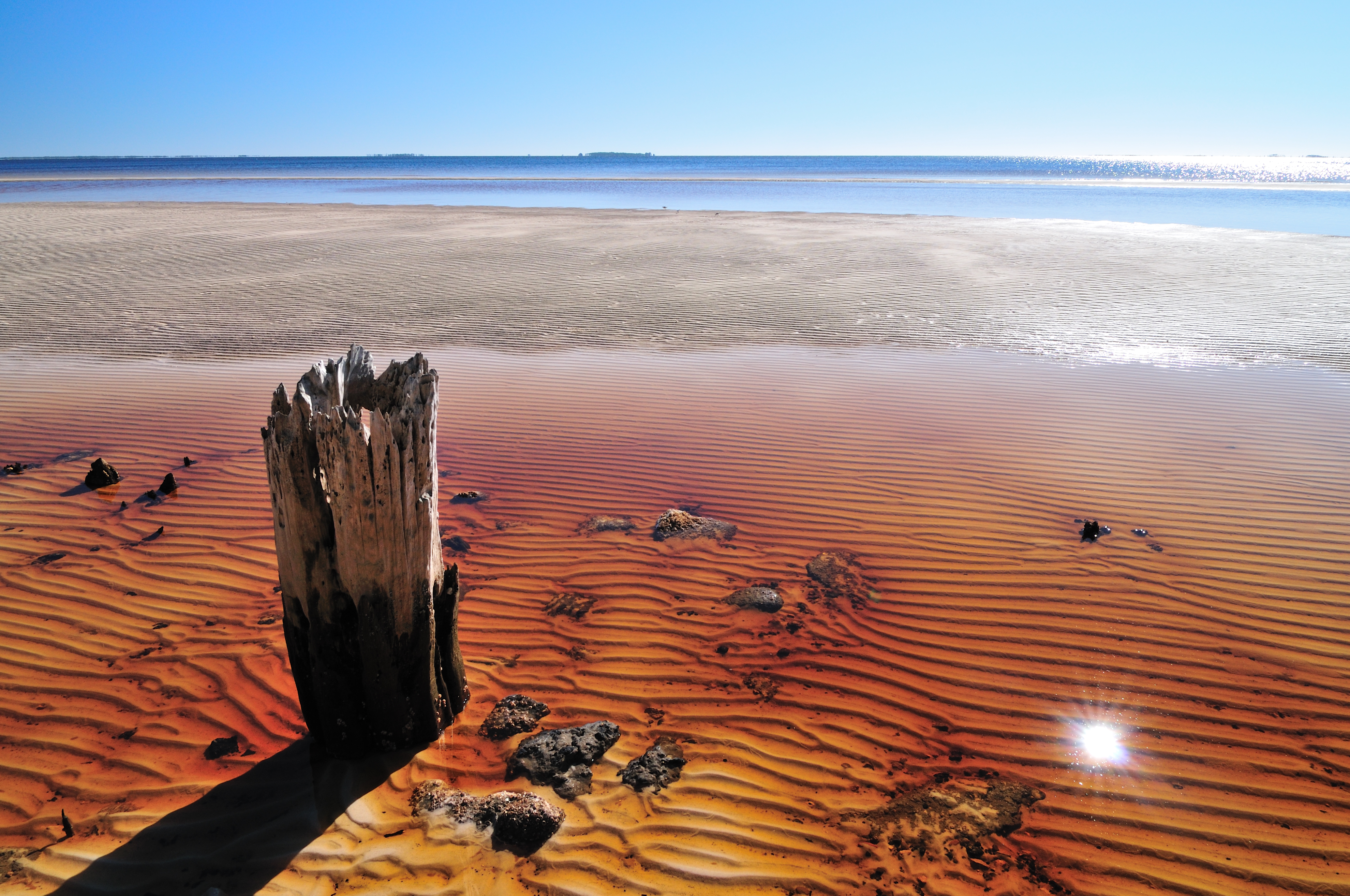
Dog island
stgeorge 080
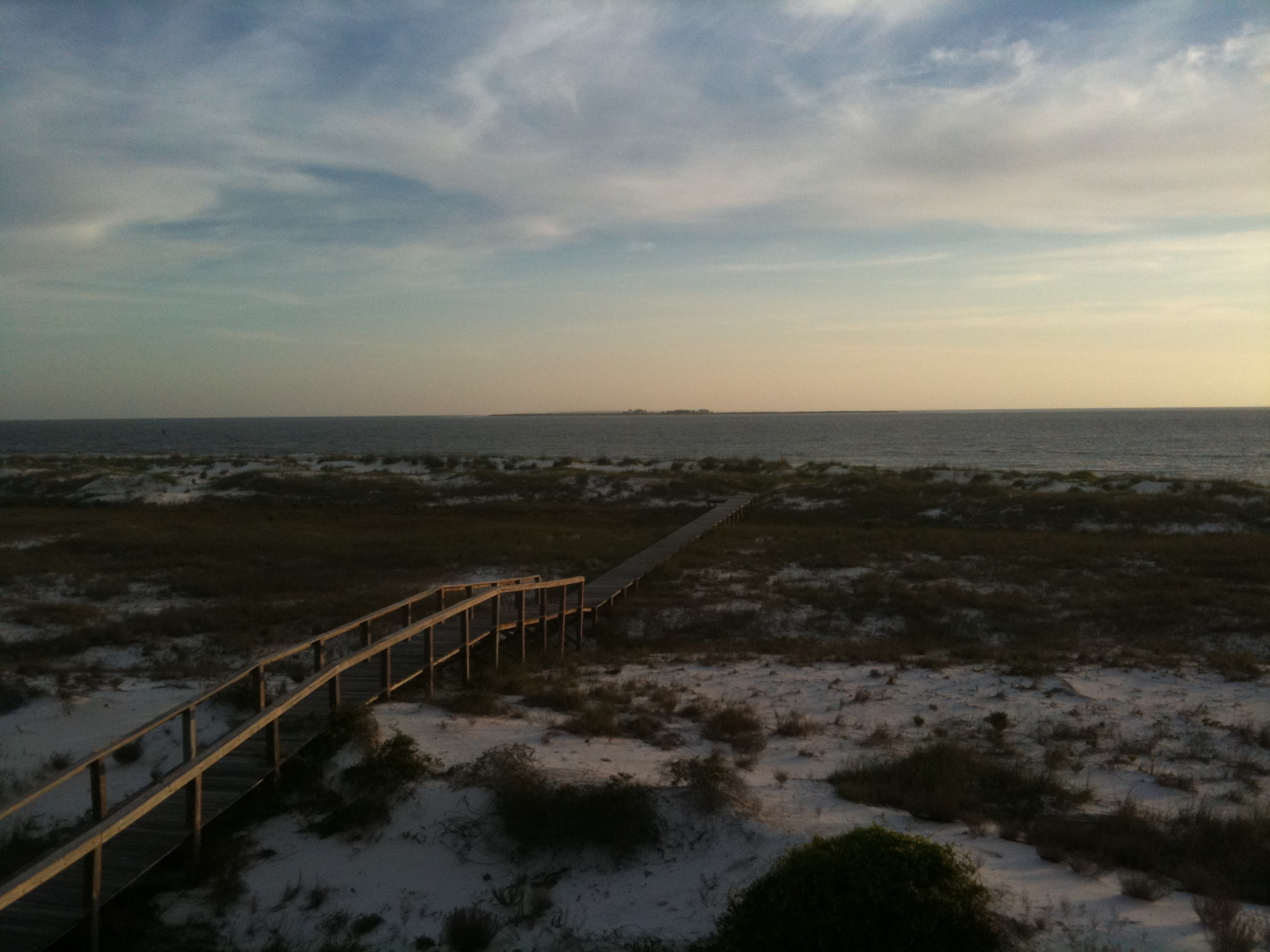
Carrabelle beach, off highway 98

IMG_0287.JPG

Fly fishing
img_1194.jpg
IMG_0244.JPG
IMG_0230.JPG

Heaven is a place on Earth with you...

stgeorge 127
IMG_0256.JPG
Topographic Map of Hwy 98 W, Carrabelle, FL, USA
Find elevation by address:

Places near Hwy 98 W, Carrabelle, FL, USA:
159 Quail Run Dr
168 Quail Run Dr
2714 Us-98
Franklin County Schools K-12
US-98, Carrabelle, FL, USA
827 Us-98
Franklin County
756 Buck St
736 Timber Ridge Ct
736 Buck St
680 Longwood Ct
612 Wilderness Rd
64 Brian St
156 Otter Slide Rd
6 6th St
Family Coastal Restaurant
350 Carroll St
478 Ave A
112 Plum St
441 Boatwright St
Recent Searches:
- Elevation of Corso Fratelli Cairoli, 35, Macerata MC, Italy
- Elevation of Tallevast Rd, Sarasota, FL, USA
- Elevation of 4th St E, Sonoma, CA, USA
- Elevation of Black Hollow Rd, Pennsdale, PA, USA
- Elevation of Oakland Ave, Williamsport, PA, USA
- Elevation of Pedrógão Grande, Portugal
- Elevation of Klee Dr, Martinsburg, WV, USA
- Elevation of Via Roma, Pieranica CR, Italy
- Elevation of Tavkvetili Mountain, Georgia
- Elevation of Hartfords Bluff Cir, Mt Pleasant, SC, USA