Elevation of Hwy 98 E, Carrabelle, FL, USA
Location: United States > Florida > Franklin County > Carrabelle >
Longitude: -84.561015
Latitude: 29.8967329
Elevation: 3m / 10feet
Barometric Pressure: 101KPa
Elevation Map:
Satellite Map:
Related Photos:

Carrabelle and Dog Island

Low tide morning, day six. Last morning. Up before the sun, rewarded with an amazing view of the beach and the water. Ready to head home, though. #70d #dslr

Florida, Carrabelle, Franklin County, Crooked River Lighthouse (2,177-2)

Florida, Carrabelle, Franklin County, Crooked River Lighthouse (2,177)

View from the Boat Club

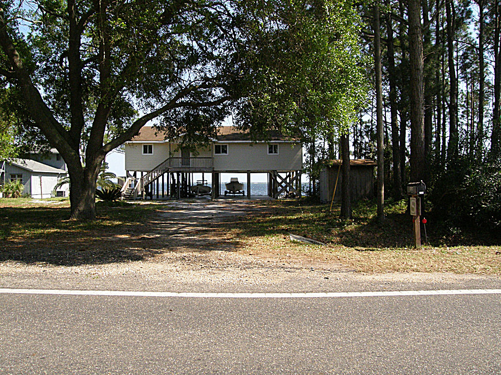
Unique Housing Design on the Florida Gulf Coast near Carrabelle - US98 - Hypotenuse Trail

Carabelle, Florida

Unique Housing Design on the Florida Gulf Coast near Carrabelle - US98 - Hypotenuse Trail
Unique Housing Design on the Florida Gulf Coast near Carrabelle - US98 - Hypotenuse Trail

Island View Park Franklin Co FL (2)

View from the Boat Club

View from the Boat Club
Island View Park Franklin Co FL

Dock Island View Park Franklin Co FL

White Squirrel - not an albino

Lizard's tail (Saururus cernuus)

Turkey Point, St. Teresa, FL
Bear Creek

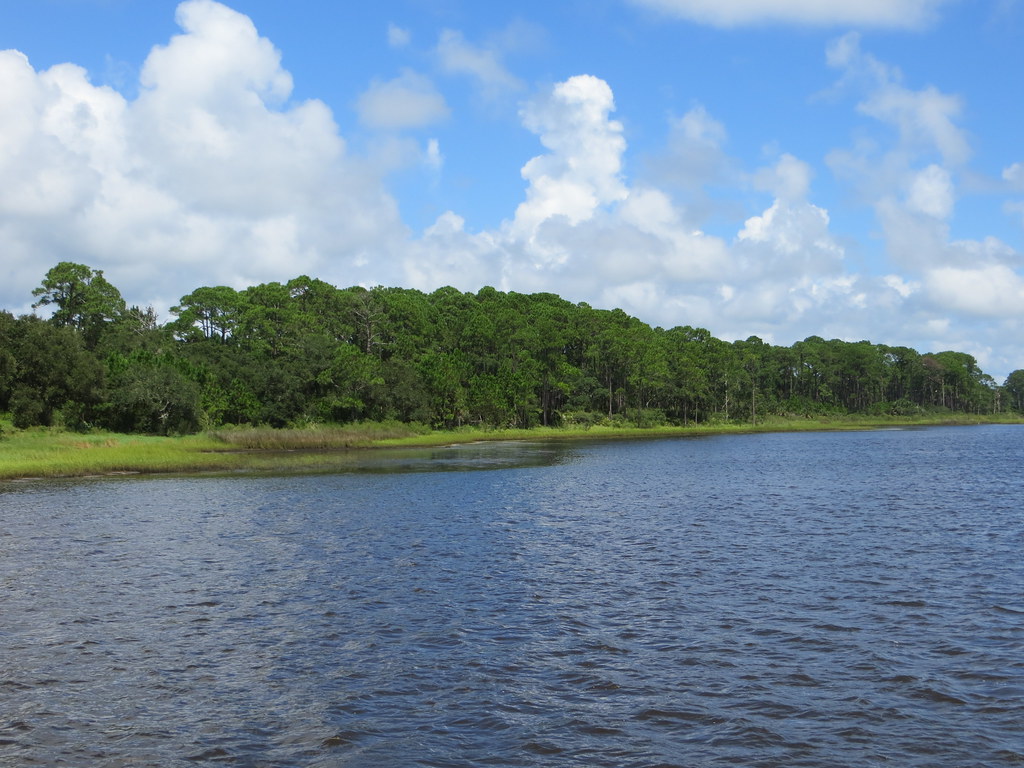
Estuary 3

Cristina on Bay Mouth Bar at Sunset

Bay Mouth Bar at Sunset

Cristina on Bay Mouth Bar at Sunset

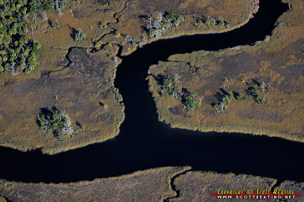
salt marsh in Carrabelle, FL

the trees between sky and water

grass in the river

Ochlockonee slough

FLORIDA GULF SUNRISE

CARRABELLE BEACH CLOUDY WINTER SUNRISE

SUNRISE ON THE BEACH

Carrabelle, Florida Sunset

Carrabelle Beach

Ho Hum RV Park

Ho Hum RV Park

Dirt Path and Oyster Shell
Topographic Map of Hwy 98 E, Carrabelle, FL, USA
Find elevation by address:

Places near Hwy 98 E, Carrabelle, FL, USA:
283 Royal Tern Way
2631 Hwy 98 E
134 Craig St
141 Hinton St
Florida Avenue
Oak Street
36 Warren Ave
97 Parker Ave, Lanark Village, FL, USA
Lanark Village
St James-lanark Volunteer Fire Department
167 Carl King Ave
800 Hickory Hammock Rd
Co Hwy 67, Carrabelle, FL, USA
County Highway 67
4087 St Teresa Ave
4087 St Teresa Ave
4087 St Teresa Ave
4076 Us-98
4174 St Teresa Ave
4174 St Teresa Ave
Recent Searches:
- Elevation of Corso Fratelli Cairoli, 35, Macerata MC, Italy
- Elevation of Tallevast Rd, Sarasota, FL, USA
- Elevation of 4th St E, Sonoma, CA, USA
- Elevation of Black Hollow Rd, Pennsdale, PA, USA
- Elevation of Oakland Ave, Williamsport, PA, USA
- Elevation of Pedrógão Grande, Portugal
- Elevation of Klee Dr, Martinsburg, WV, USA
- Elevation of Via Roma, Pieranica CR, Italy
- Elevation of Tavkvetili Mountain, Georgia
- Elevation of Hartfords Bluff Cir, Mt Pleasant, SC, USA