Elevation of Hurricane, UT, USA
Location: United States > Utah >
Longitude: -113.28994
Latitude: 37.1752607
Elevation: 989m / 3245feet
Barometric Pressure: 90KPa
Elevation Map:
Satellite Map:
Related Photos:
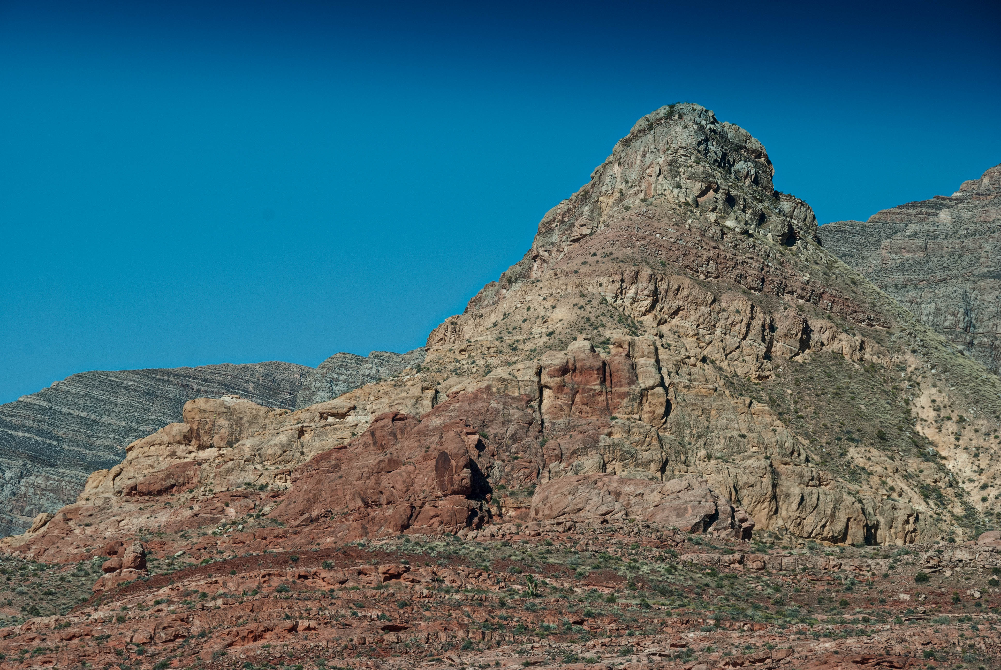
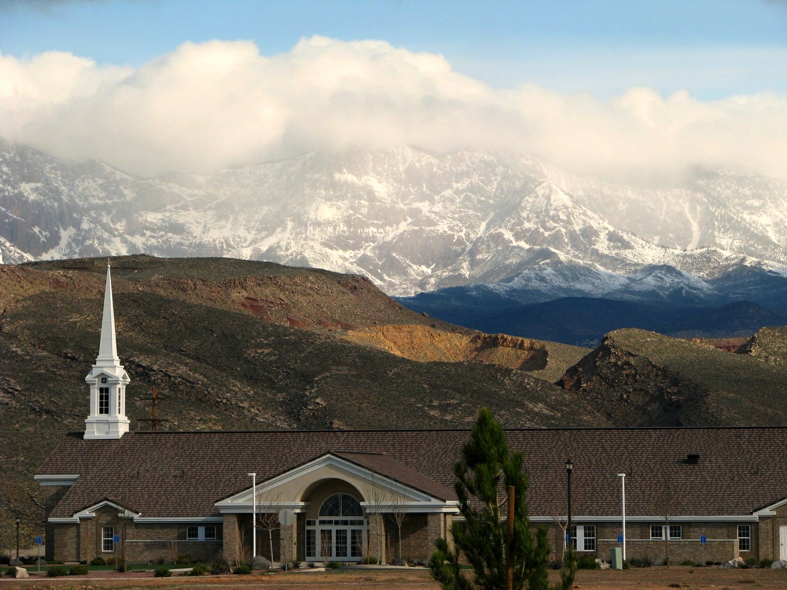
Pine Valley Mountains
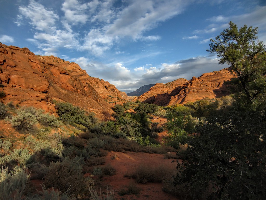
a place to get lost
Shades of Gold

Moving Light
en route to ZION NATIONAL PARK ~ UTAH

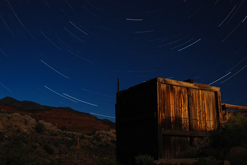
Ghost Town, Pt. 1
Silver reef under the stars
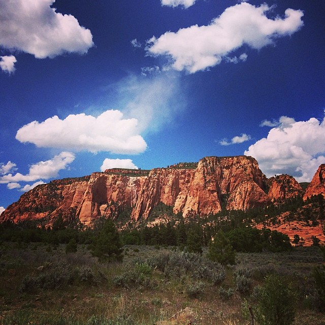
Zion National Park
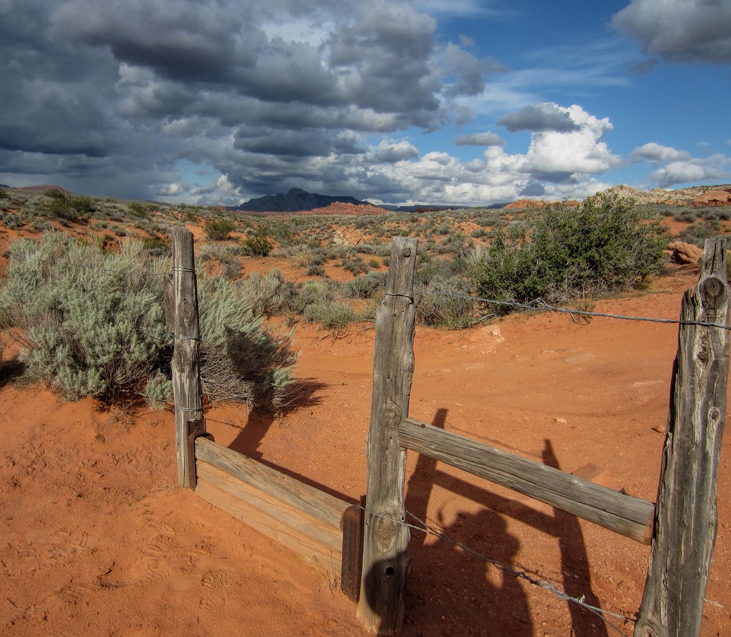
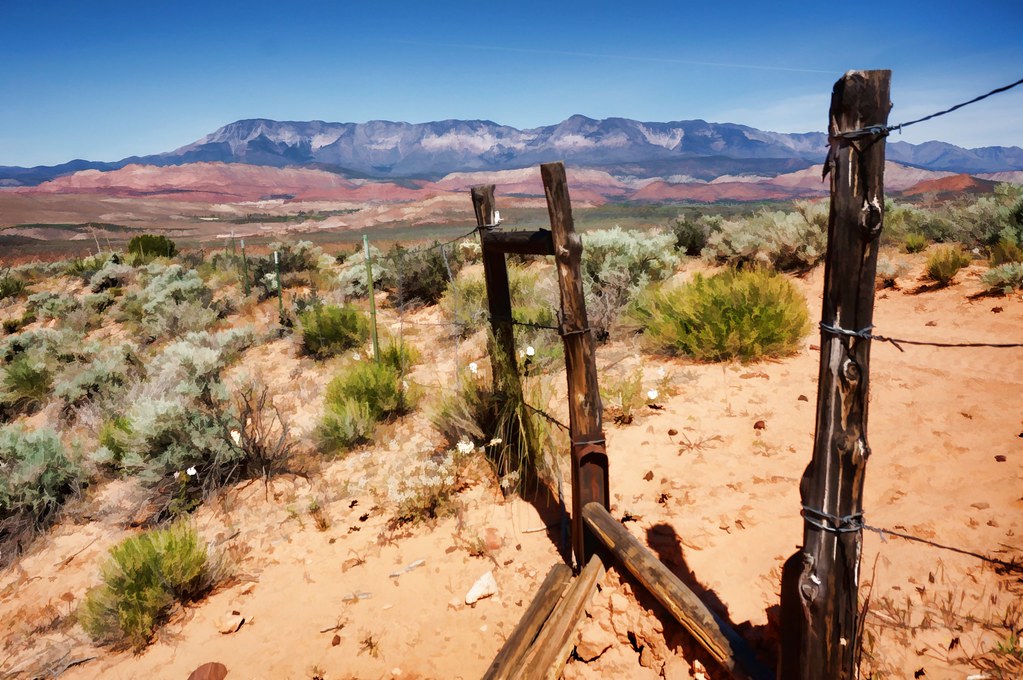
step-over gate
Not stoked that I am working while on "vacation," but I certainly can't complain about this view. #pandainthedesert #mormoncountry #utah

Quail Creek Reservior
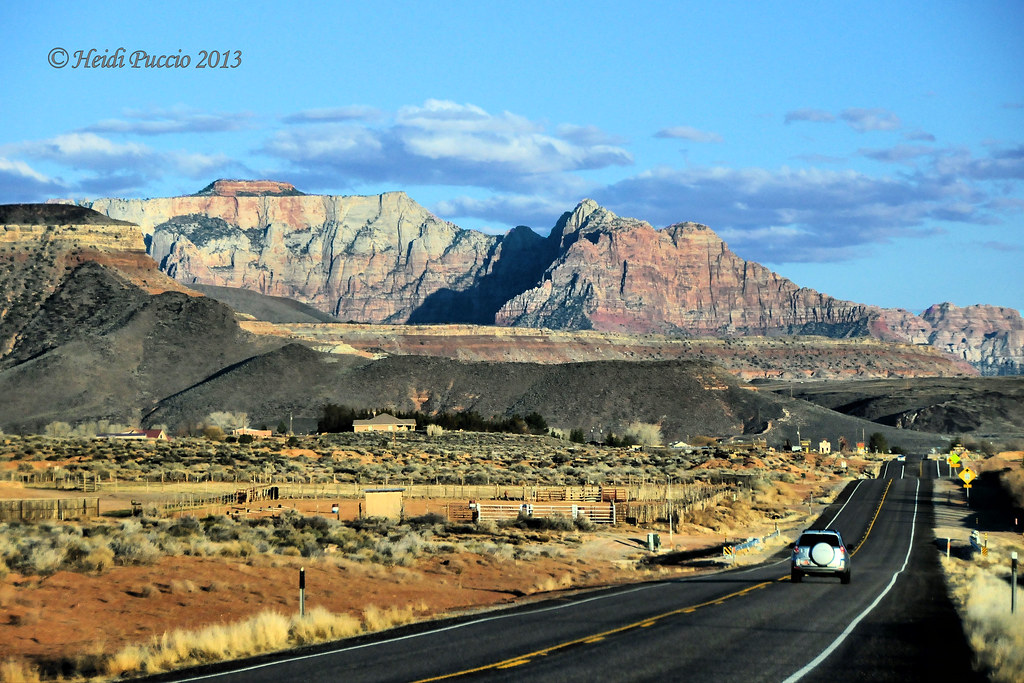
On the Road near St. George
morning view

Rainbow Sunset Panorama

Rear-view mirror of Zion mountains
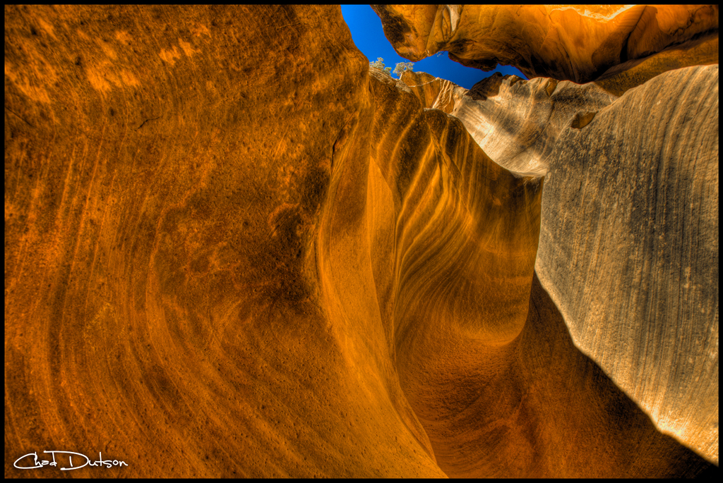
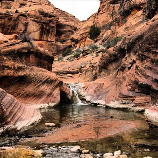
Looking Up a Slot | 1011-1-5770
D70-0704-007 - View
Creeping Shadows
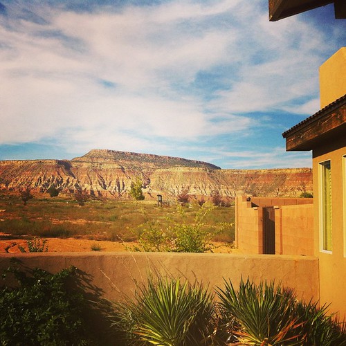
front porch with a view / #blm #southernutah #venus
Golden Hour
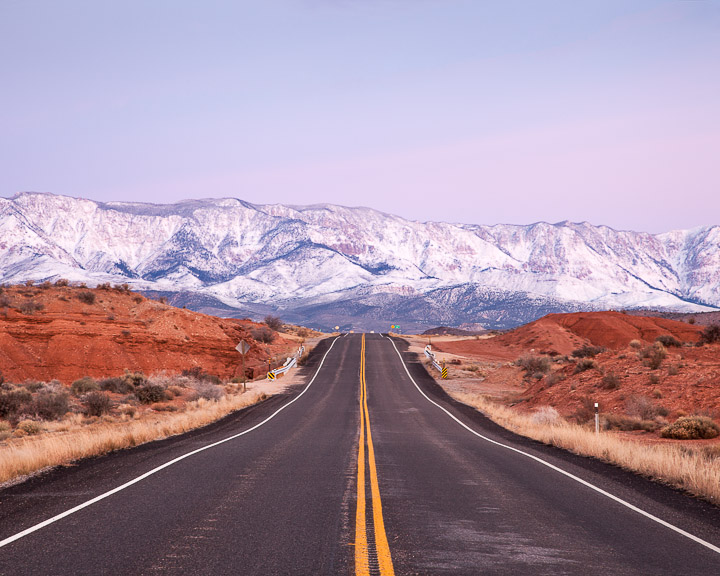
Sunset view along the Rt 59 to Hurricane Utah 10

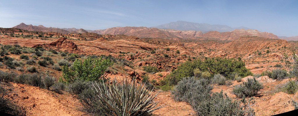
Yant Flat Panorama
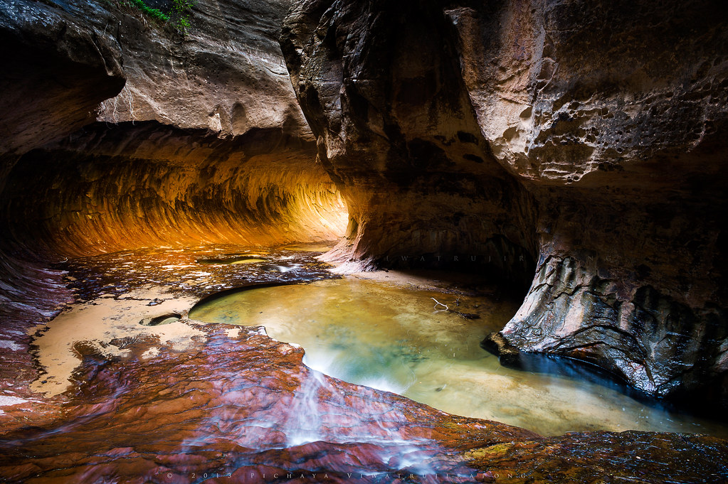
The Subway

Gorge.

Utah 9
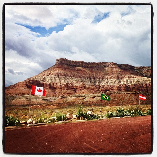
Hurricane, Utah
and another one

Expanse.
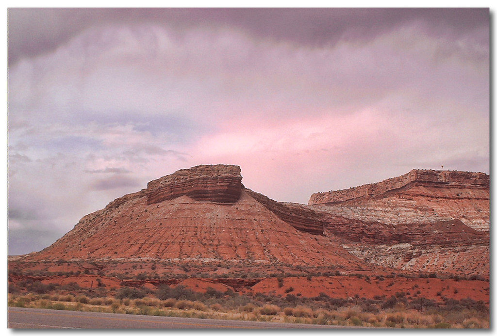
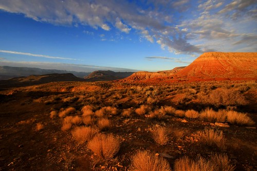
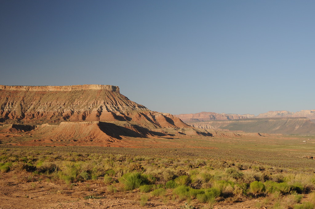
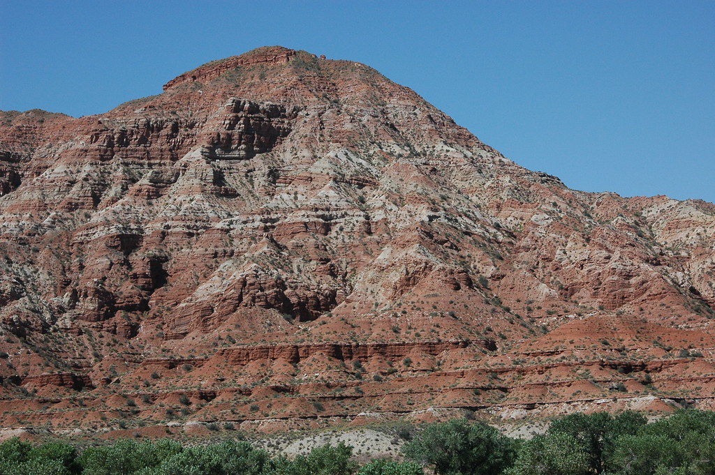
Hurricane Mesa
Yant Flat
Hurricane Hills

09 Apr Roadtrip 60
On the Road, Nephi
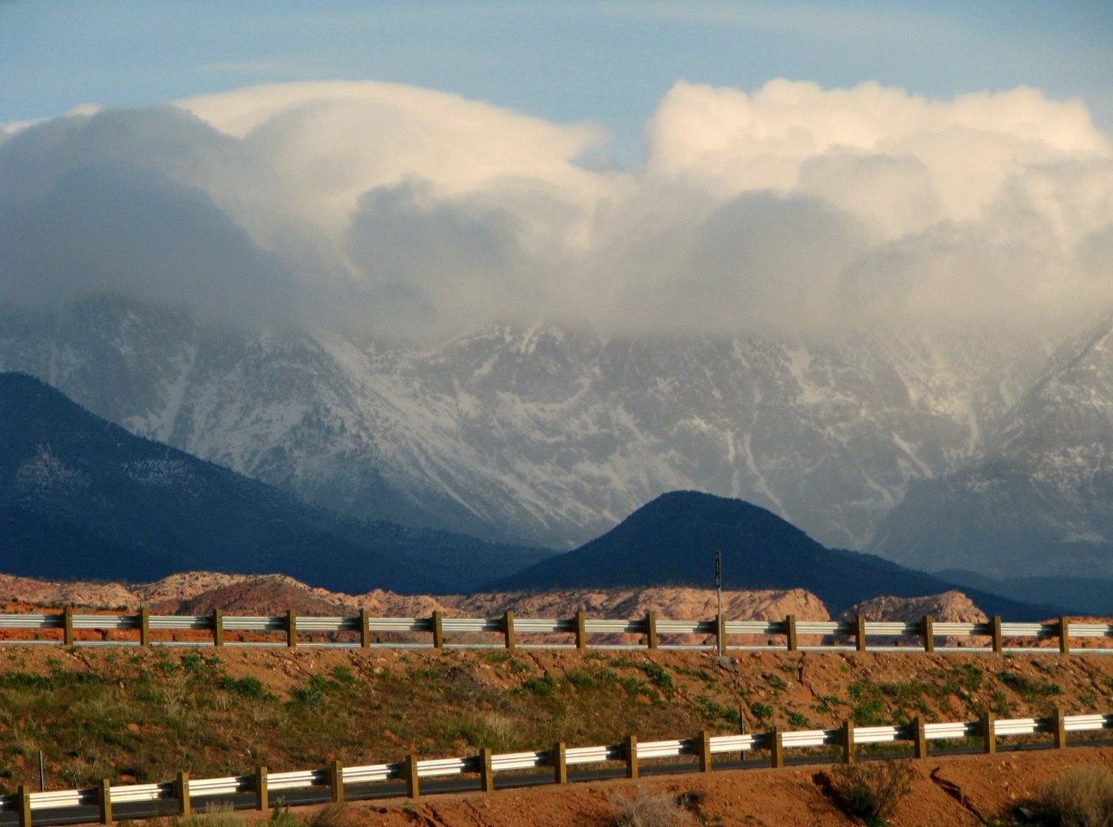
Hurricane Cliffs
Red Cliffs Recreation Area
On our way to North Peak Trail. #dandyhop #southernutah
step over
Scenic Highway
I'm like ... WoW!
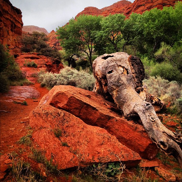
The elephant tree
Topographic Map of Hurricane, UT, USA
Find elevation by address:

Places in Hurricane, UT, USA:
Places near Hurricane, UT, USA:
La Verkin
2332 South 675 West
27 E 200 N #426
749 W 2500 S
101 E 500 N
1357 Staghorn
3407 W 400 N
Toquerville
449 N 3420 W
150 N 3700 W #72
150 N 3700 W #72
2491 S 3200 W
Sand Hollow Reservoir
5800 Old Hwy 91
Sand Hollow State Park
The Beach At Sand Hollow
5662 West Clubhouse Drive
1078 Catalpa Drive
954 N Ocotillo Dr
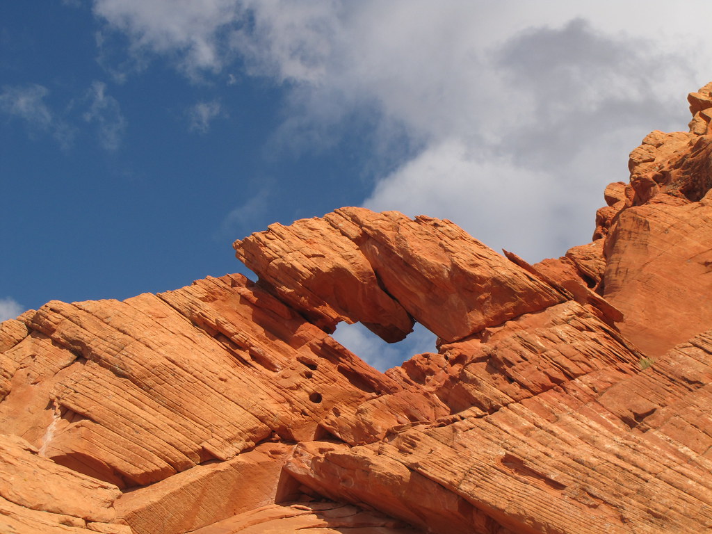
Elephant Arch
Recent Searches:
- Elevation of Corso Fratelli Cairoli, 35, Macerata MC, Italy
- Elevation of Tallevast Rd, Sarasota, FL, USA
- Elevation of 4th St E, Sonoma, CA, USA
- Elevation of Black Hollow Rd, Pennsdale, PA, USA
- Elevation of Oakland Ave, Williamsport, PA, USA
- Elevation of Pedrógão Grande, Portugal
- Elevation of Klee Dr, Martinsburg, WV, USA
- Elevation of Via Roma, Pieranica CR, Italy
- Elevation of Tavkvetili Mountain, Georgia
- Elevation of Hartfords Bluff Cir, Mt Pleasant, SC, USA