Elevation of Hunter Peak, Fraser Valley D, BC V0X, Canada
Location: Canada > British Columbia > Hope >
Longitude: -121.50722
Latitude: 49.2919444
Elevation: 1841m / 6040feet
Barometric Pressure: 81KPa
Elevation Map:
Satellite Map:
Related Photos:
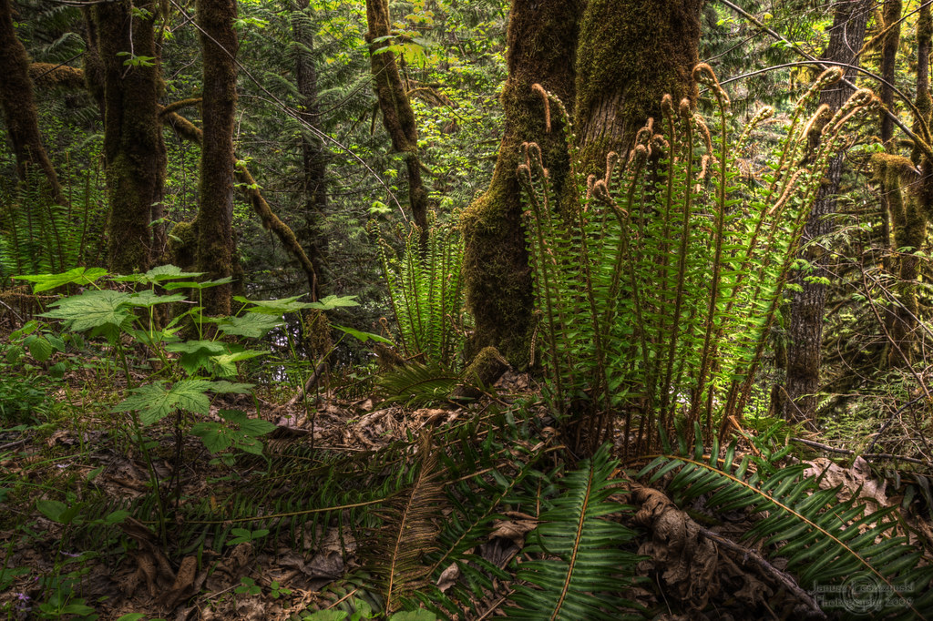
Wonders of our rain forest
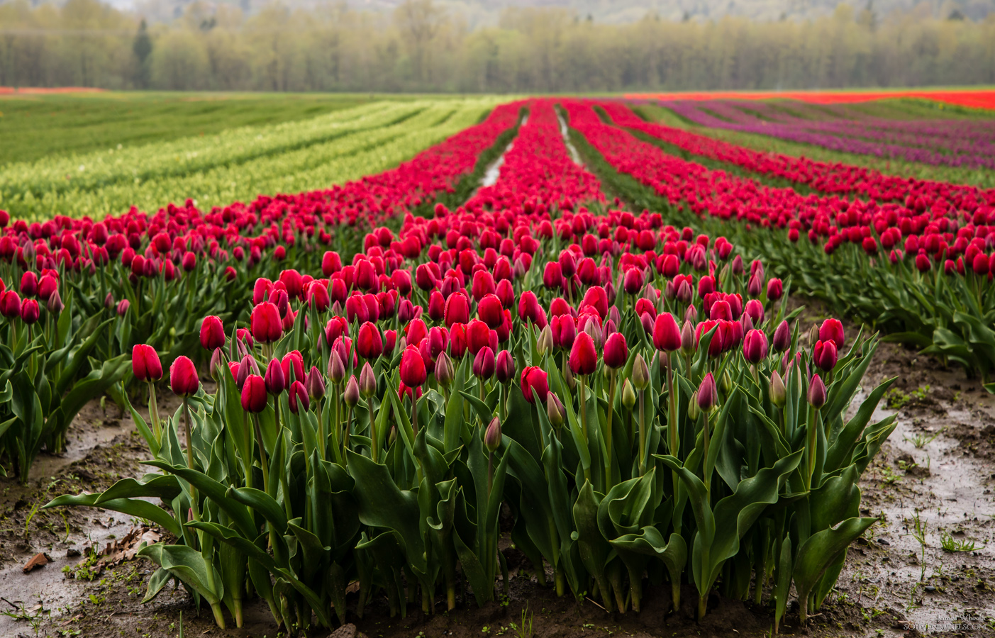
Purple Agassiz Tulips
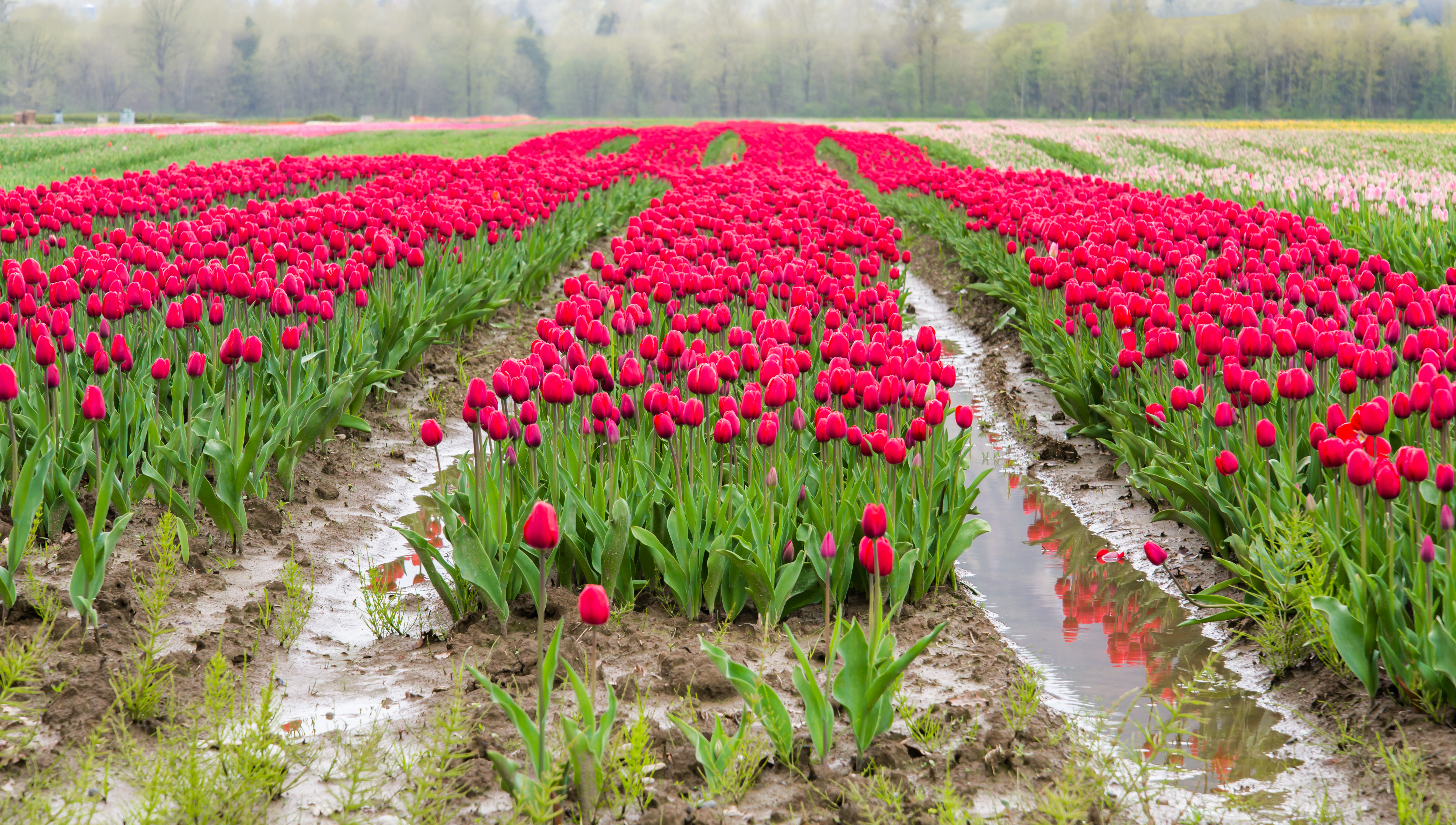
Pink Tulips
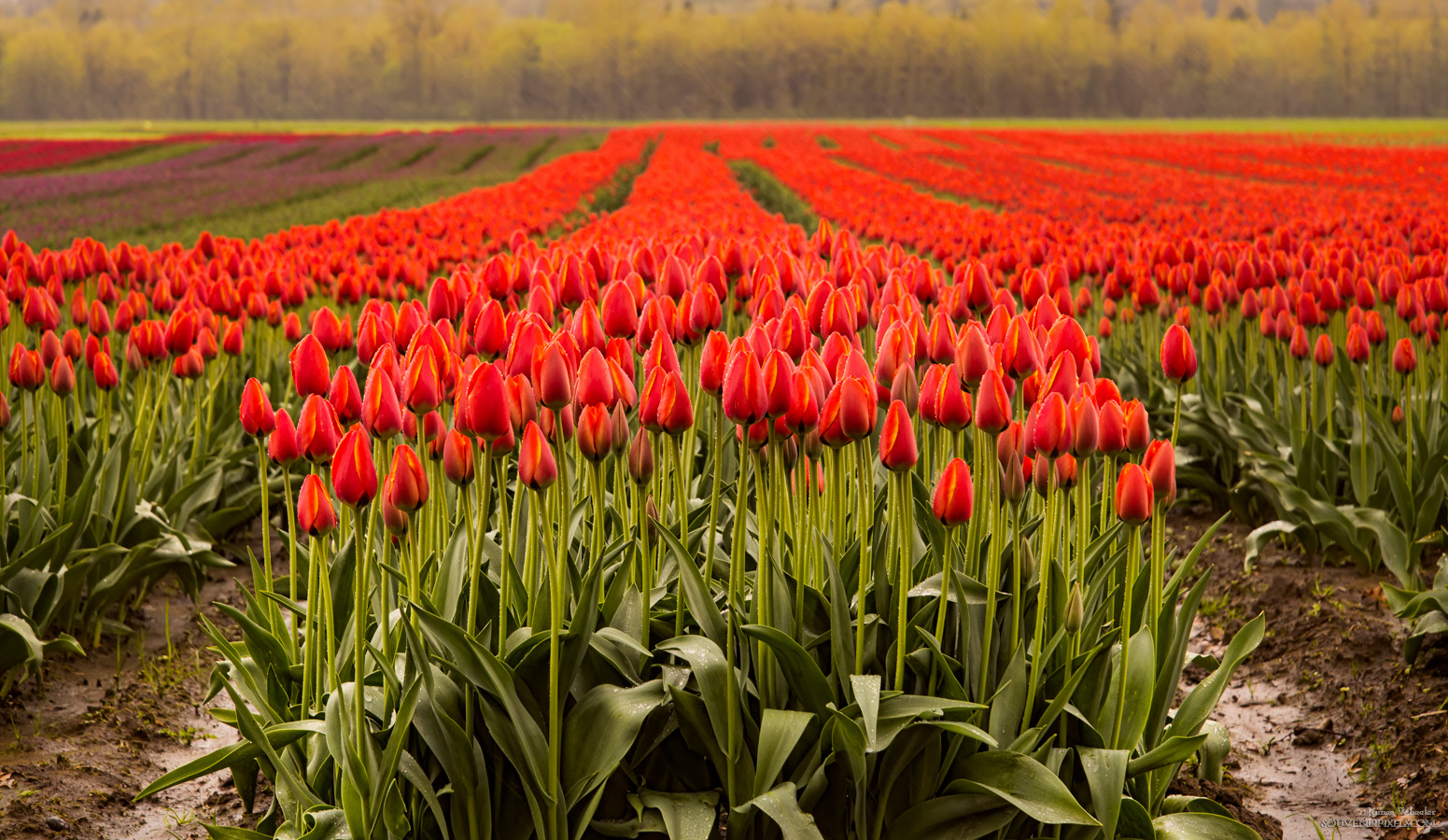
Agassiz Tulip Festival
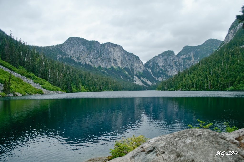
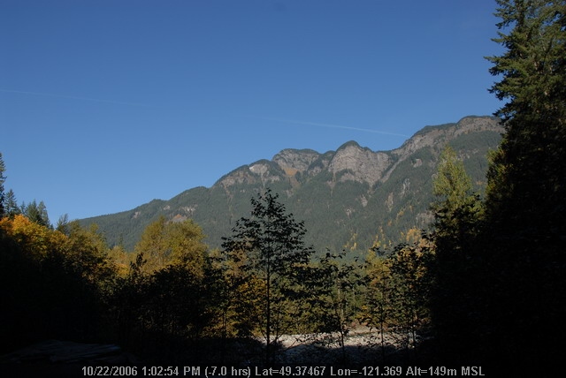
Eaton Lake View
View from the parking lot (see the tarn?)

Hope, British Columbia

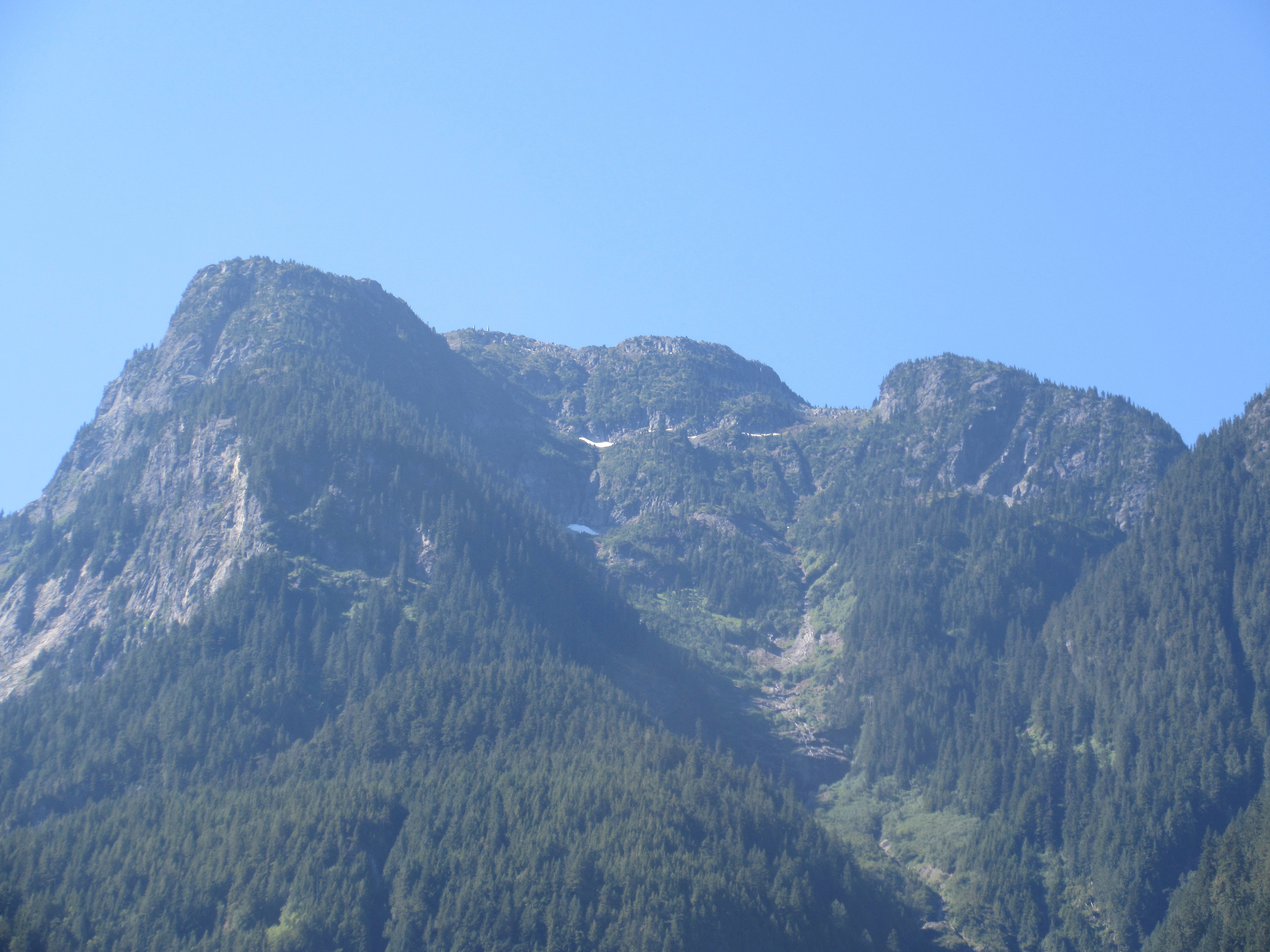
View from my lunchspot today...
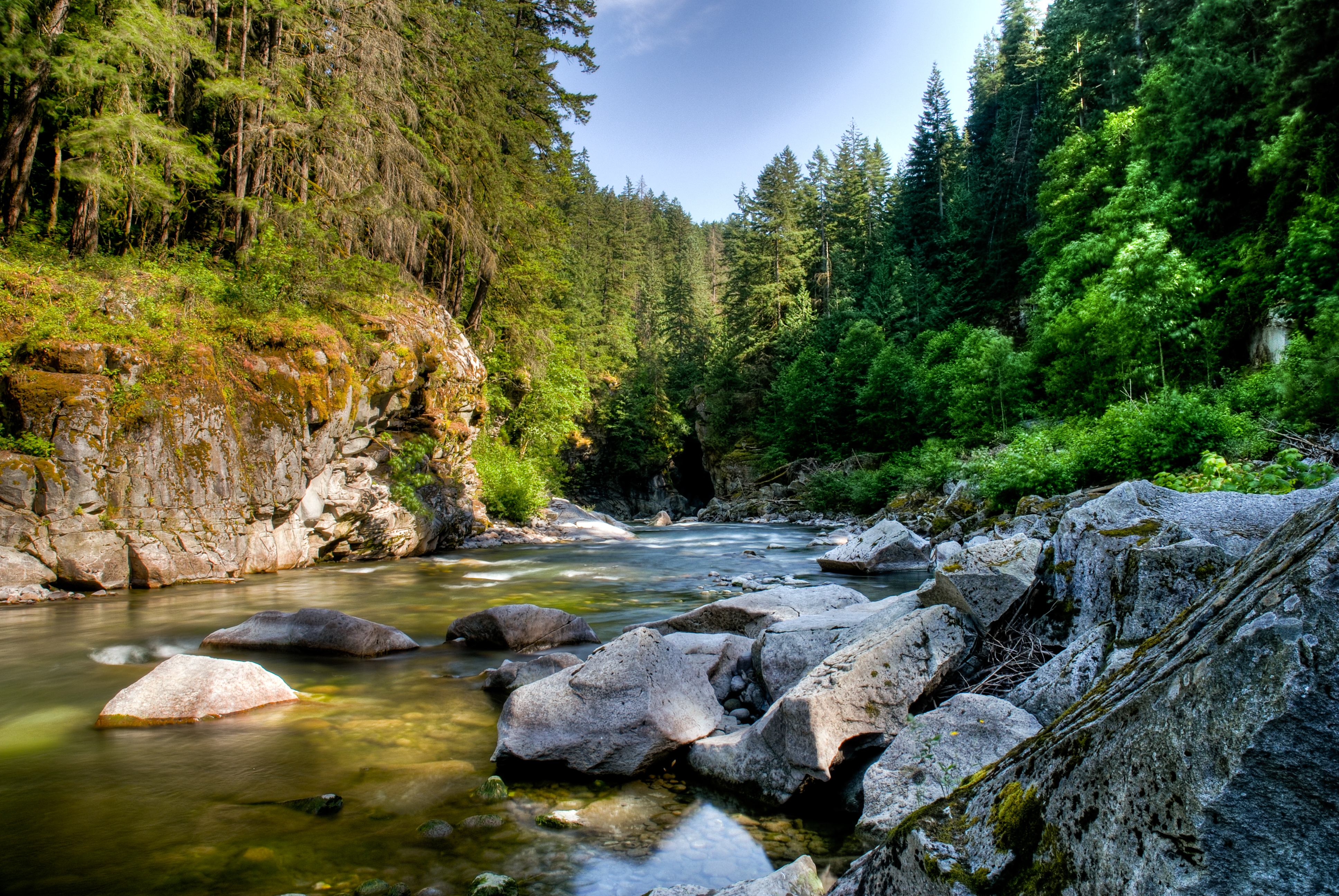
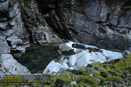
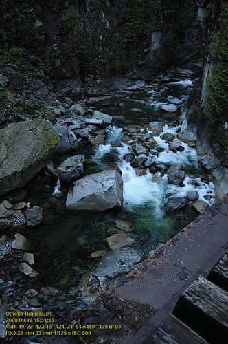
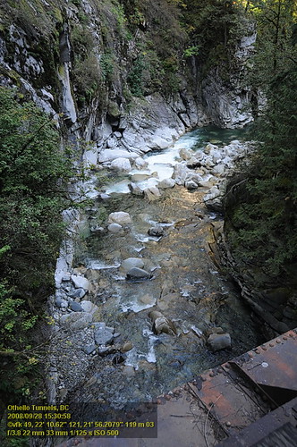
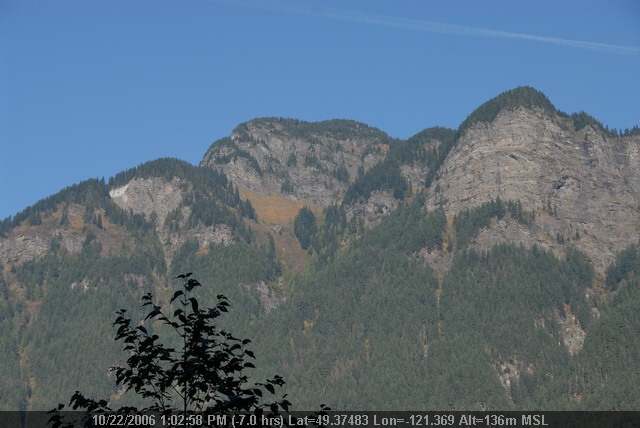
Coquihalla River Heading Into Othello Tunnels
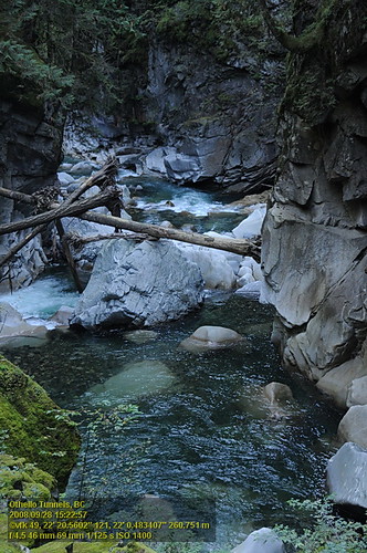
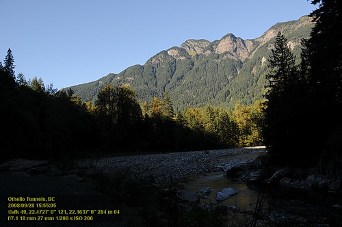
Othello Tunnels VF2_8744.JPG

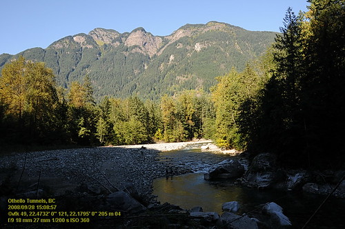
Othello Tunnels VF2_8786.JPG
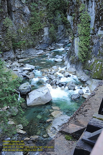
Othello Tunnels VF2_8742.JPG
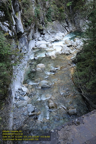
Othello Tunnels VF2_8776.JPG
Othello Tunnels VF2_8798.JPG
Othello Tunnels VF2_8754.JPG
Othello Tunnels VF2_8753.JPG
Othello Tunnels VF2_8799.JPG
Othello Tunnels VF2_8716.JPG
Othello Tunnels VF2_8774.JPG
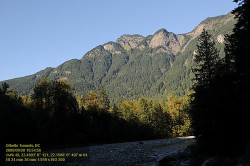
OthelloTunnels (67).JPG
OthelloTunnels (66).JPG
Topographic Map of Hunter Peak, Fraser Valley D, BC V0X, Canada
Find elevation by address:

Places near Hunter Peak, Fraser Valley D, BC V0X, Canada:
Isolillock Peak
Sowerby Peak
Silver Peak
19325 Silverhope Rd
19345 Silverhope Rd
19623 Silver Skagit Rd
Mount Hansen
62010 Flood Hope Rd
Floods
19903 Silver Skagit Rd
19903 Silver Skagit Rd
Flying J Travel Center
Flood Hope Road
63550 Flood Hope Rd
63650 Flood Hope Rd
64005 Old Yale Rd
63931 Edwards Dr
20118 Beacon Rd
60814 Lougheed Hwy
Hope Mountain
Recent Searches:
- Elevation of Corso Fratelli Cairoli, 35, Macerata MC, Italy
- Elevation of Tallevast Rd, Sarasota, FL, USA
- Elevation of 4th St E, Sonoma, CA, USA
- Elevation of Black Hollow Rd, Pennsdale, PA, USA
- Elevation of Oakland Ave, Williamsport, PA, USA
- Elevation of Pedrógão Grande, Portugal
- Elevation of Klee Dr, Martinsburg, WV, USA
- Elevation of Via Roma, Pieranica CR, Italy
- Elevation of Tavkvetili Mountain, Georgia
- Elevation of Hartfords Bluff Cir, Mt Pleasant, SC, USA