Elevation of Huberdeau, QC J0T, Canada
Location: Canada > Québec > Les Laurentides Regional County Municipality > Huberdeau >
Longitude: -74.634308
Latitude: 45.975233
Elevation: 206m / 676feet
Barometric Pressure: 99KPa
Elevation Map:
Satellite Map:
Related Photos:
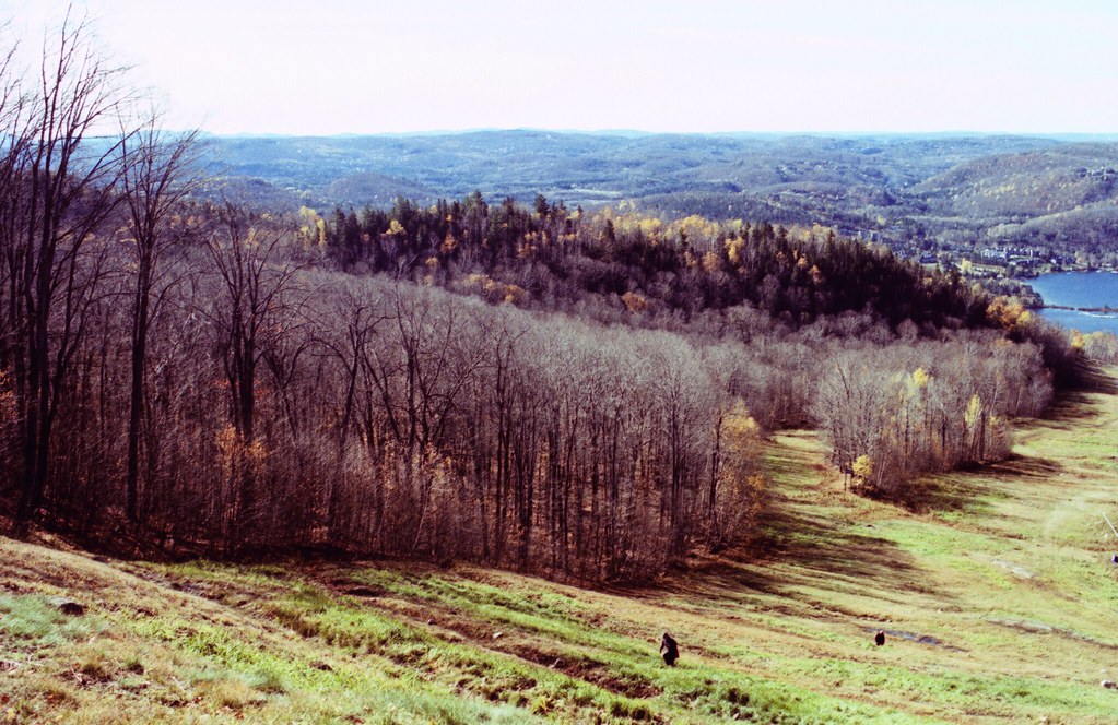
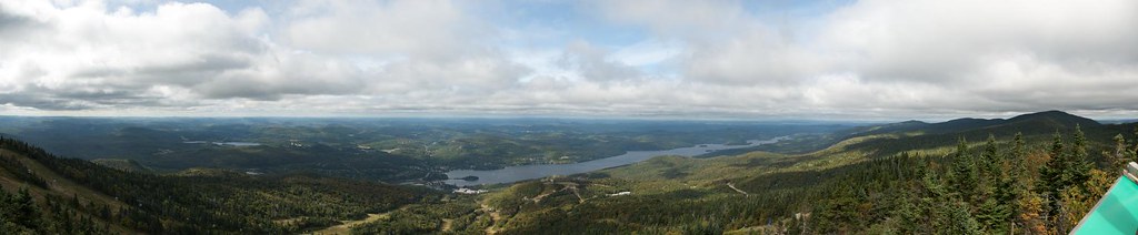
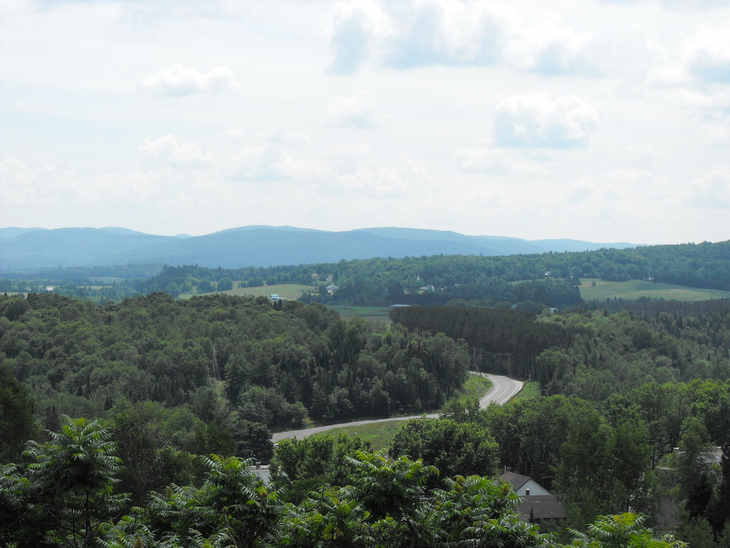
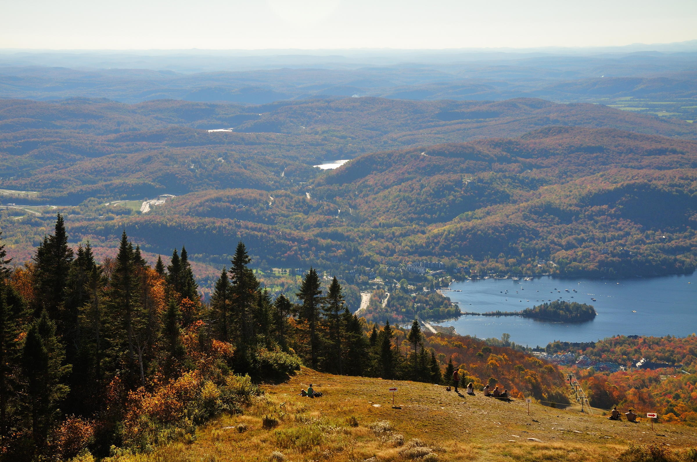
Mt Tremblant Vista
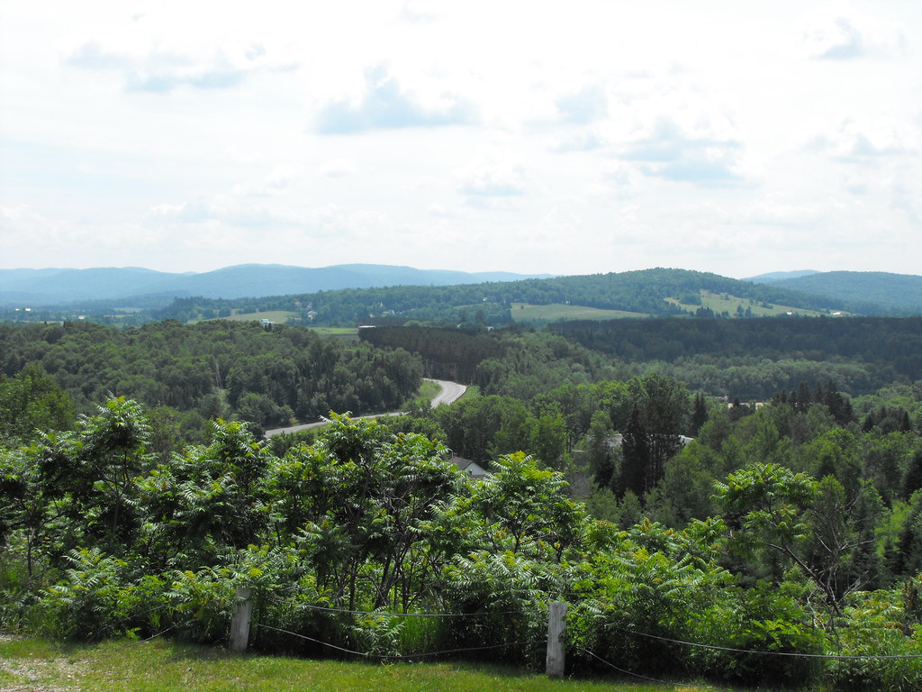
View from Huberdeau Calvary

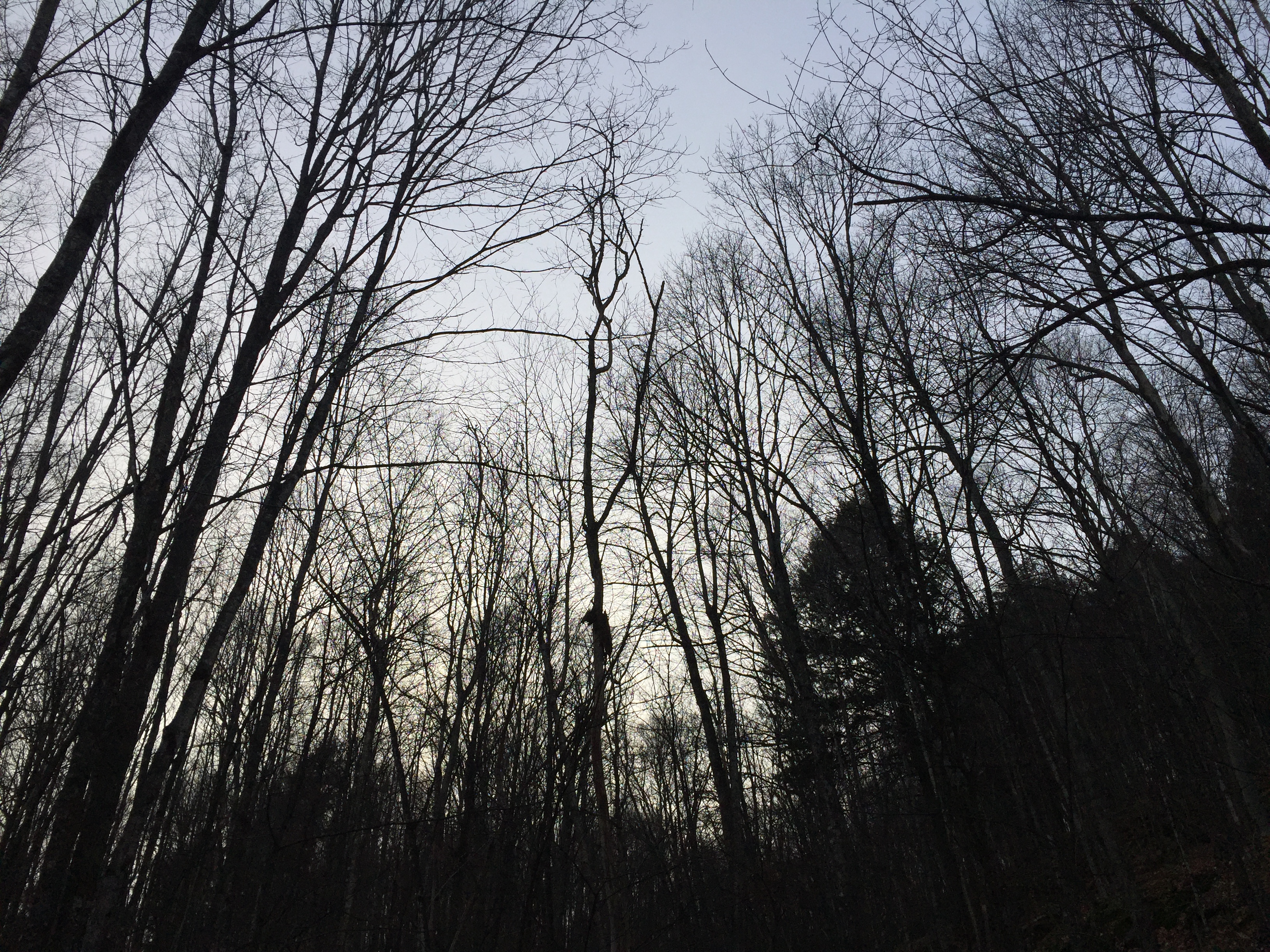
Up Up
Green Mile
Flickr-109
Mt. Tremblant
Steep and fast!
Good help?
Better help.
View from Huberdeau Calvary
Fall in the woods at sunset
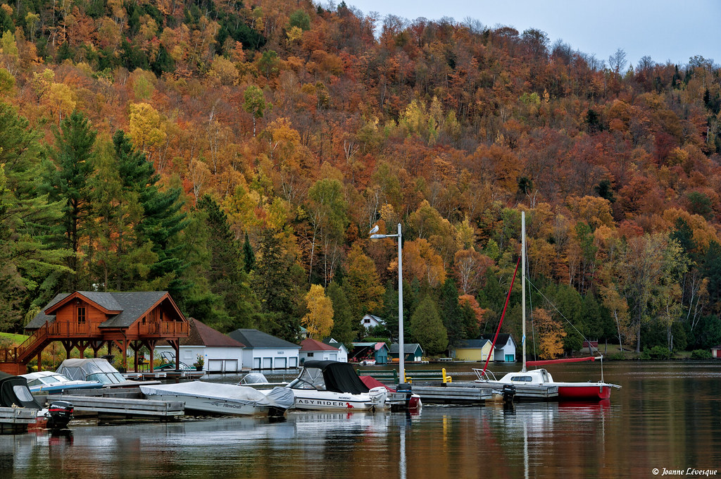
Marina - Lac-des-Seize-Îles

L'Aquatique trail bridge
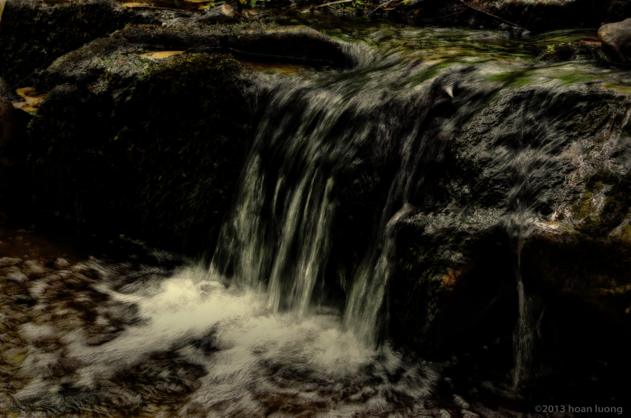
Follow down the water
When is your due date?
Endless movement
Autumn in Mont-Tremblant
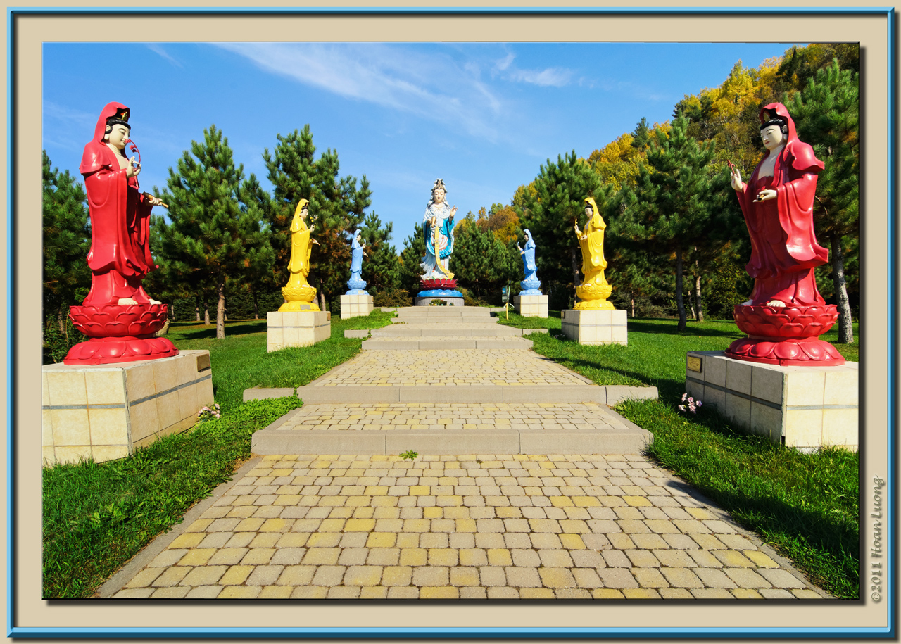
Women saint statues
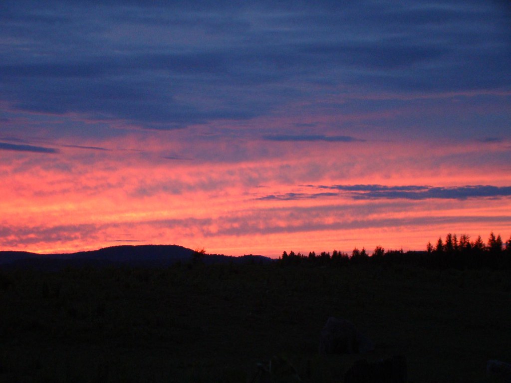
Sunset in Crystal Falls, Quebec
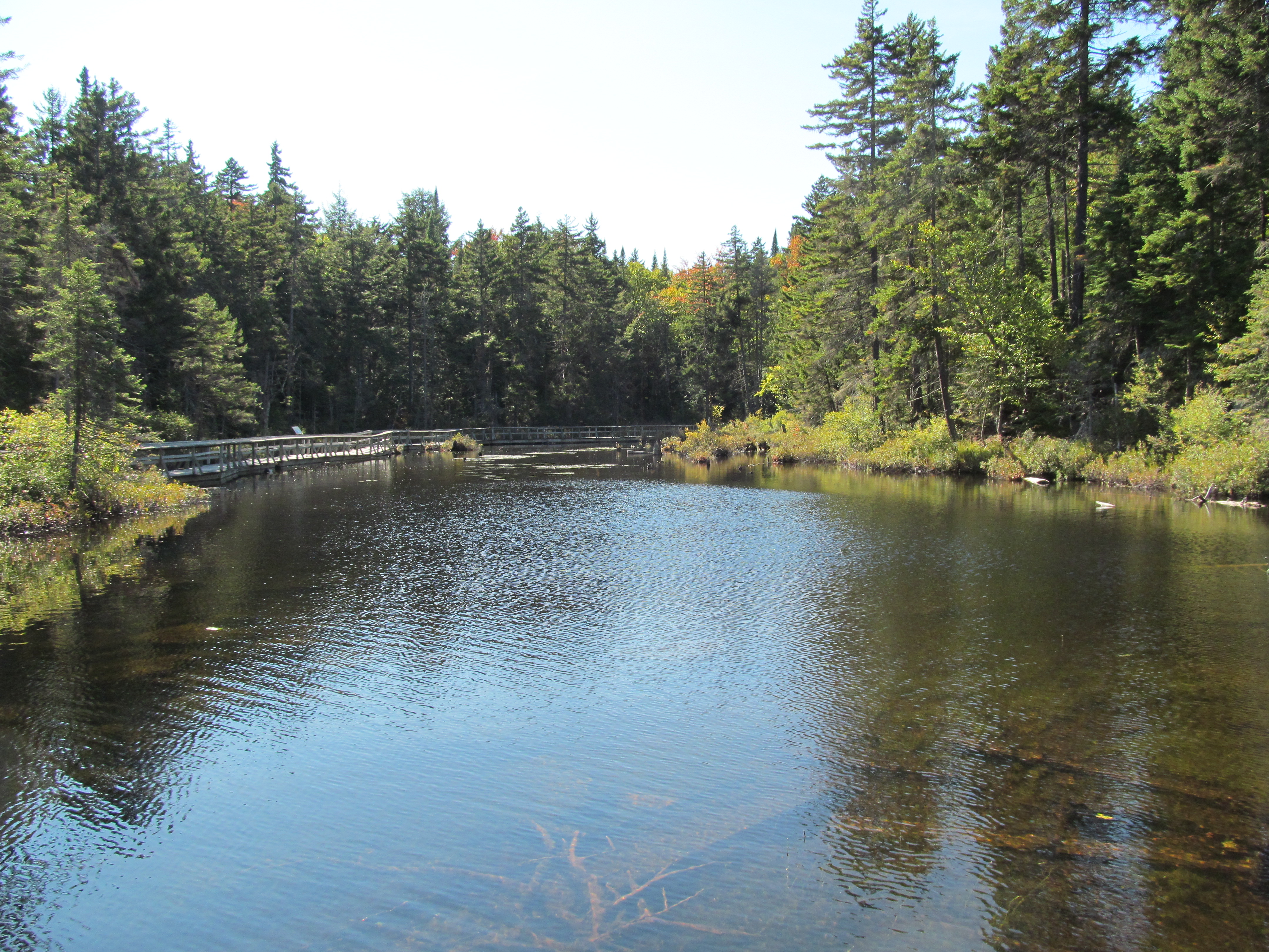
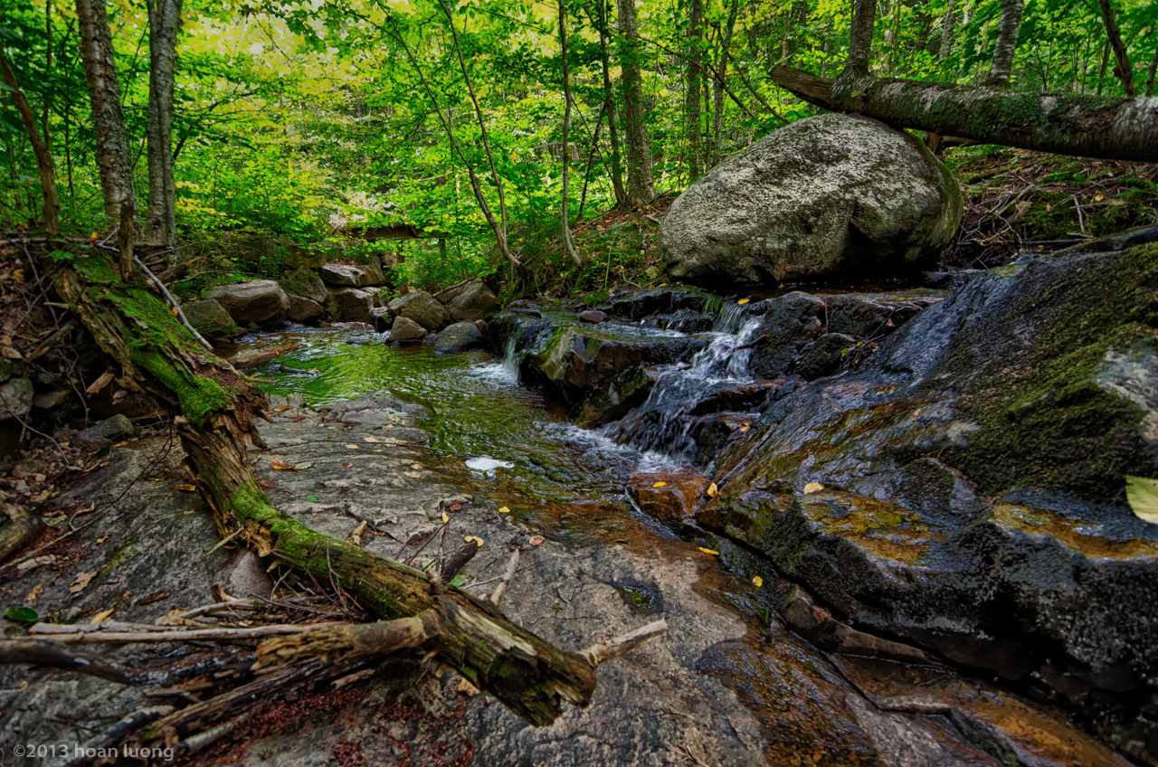
The river pond (1)
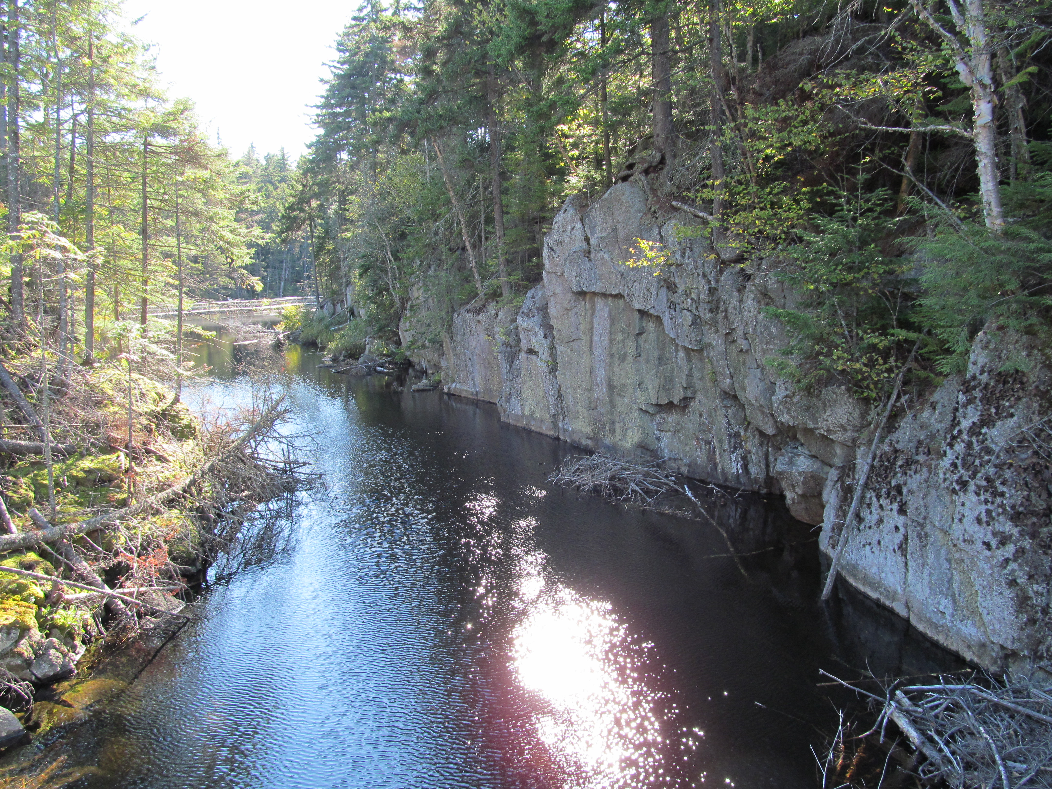
Small canyon
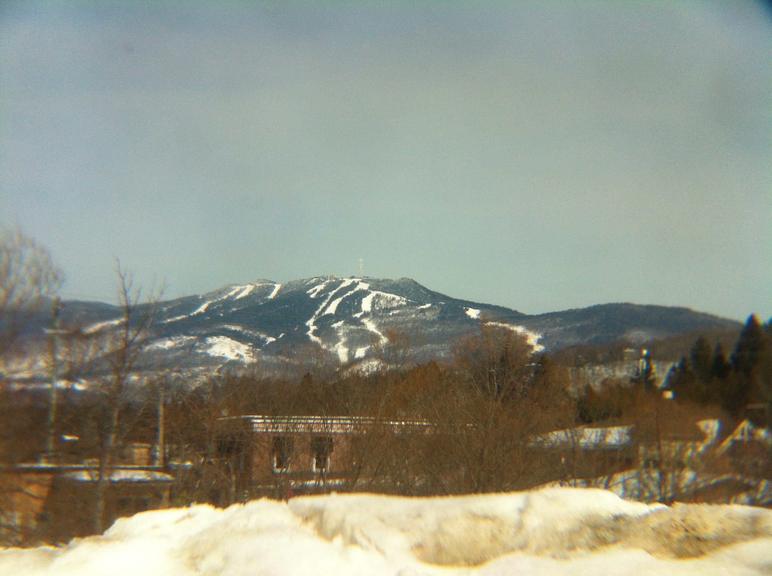
Mont Tremblant from St-Jovite
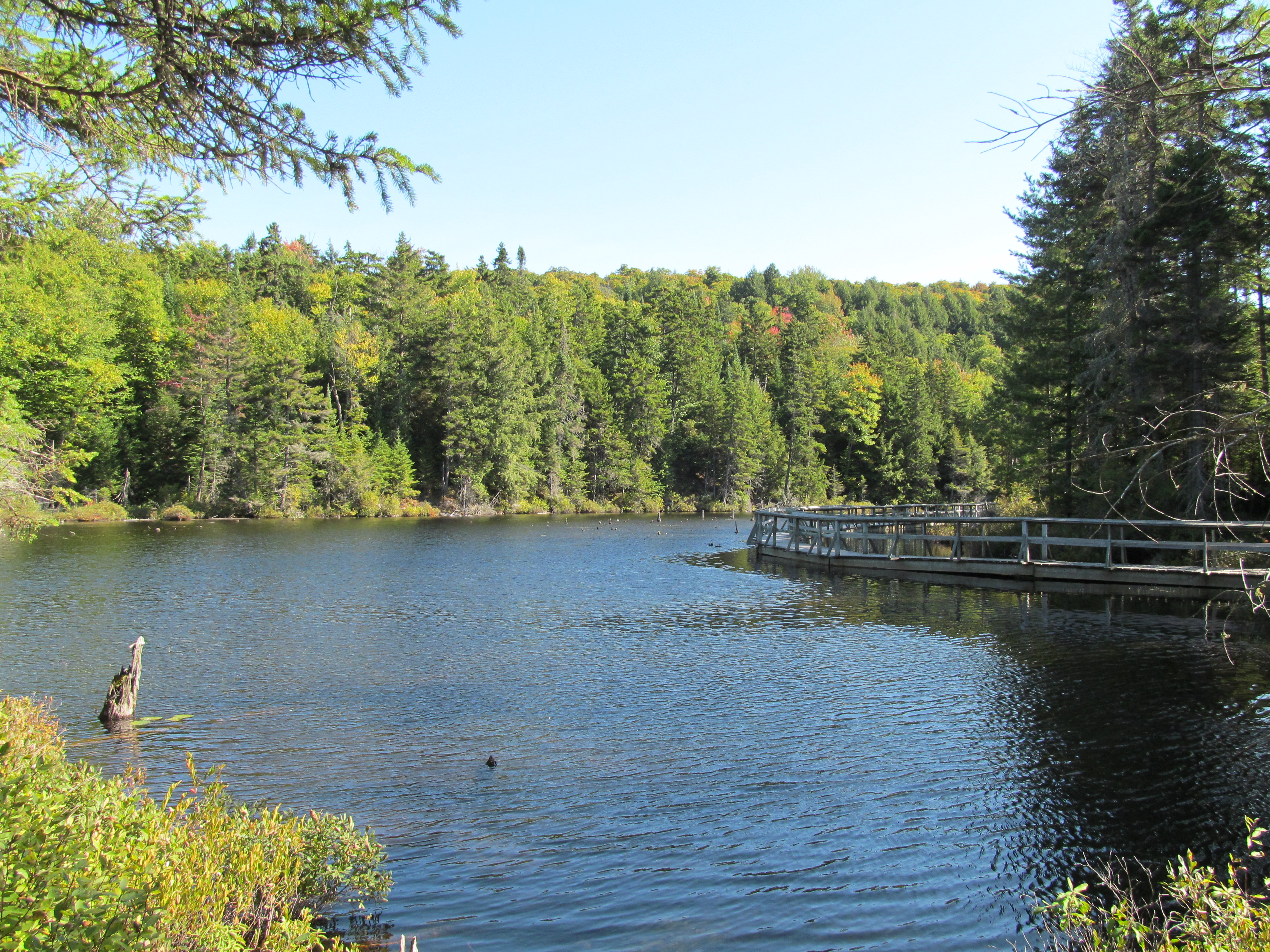
The river pond (2)
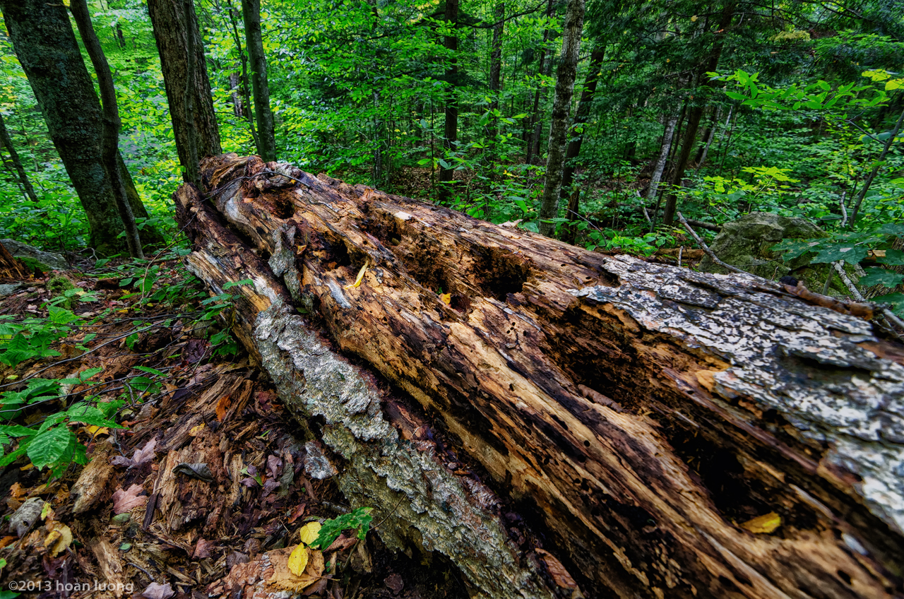
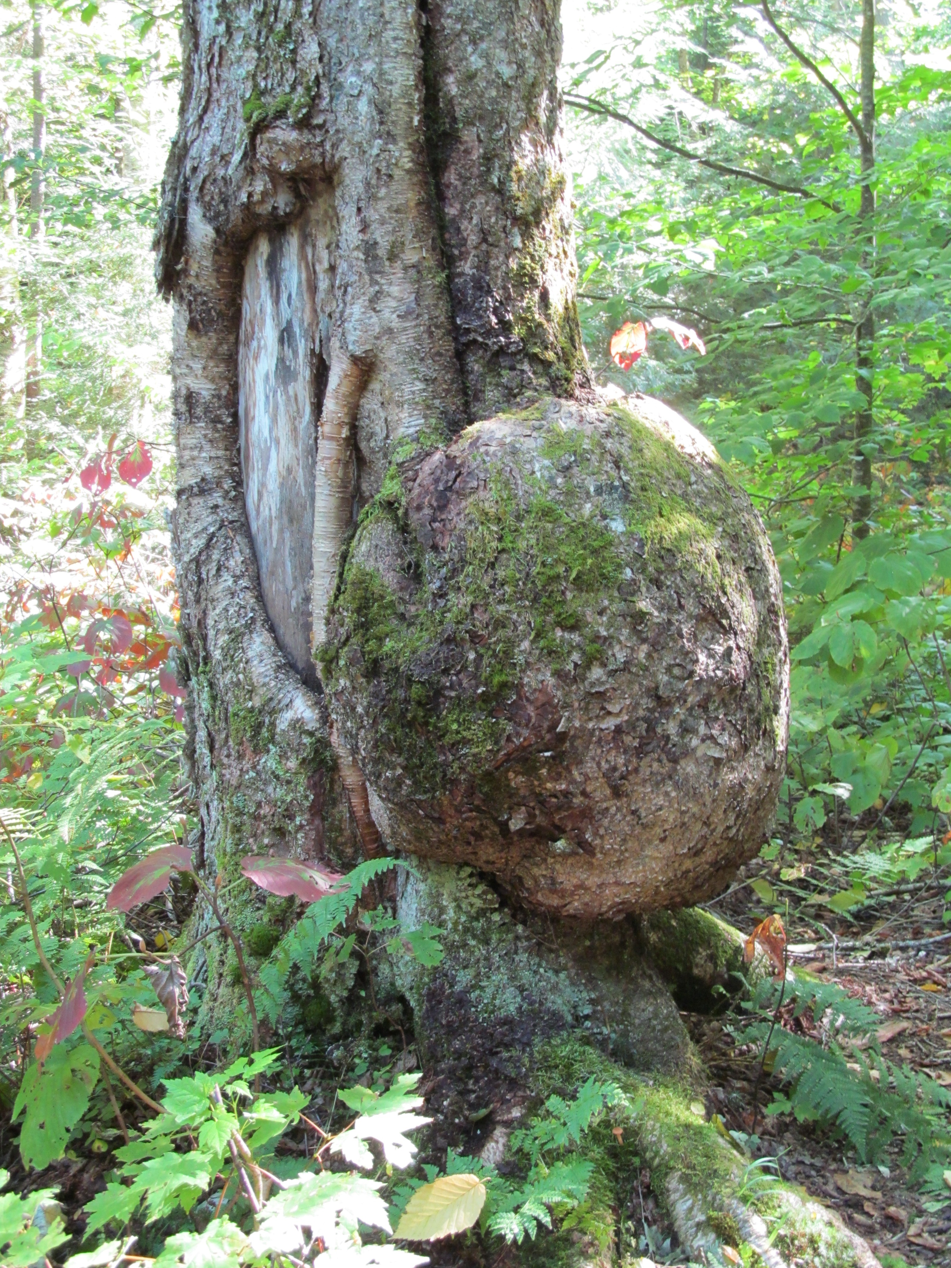
Rotten dead tree trunk
An afternoon in the backcountry
Grey Valley, Chemin de Grey Valley, Rivière Rouge & Mont-Tremblant, Qc DSC_5842 copie

Mipo-20131117-2
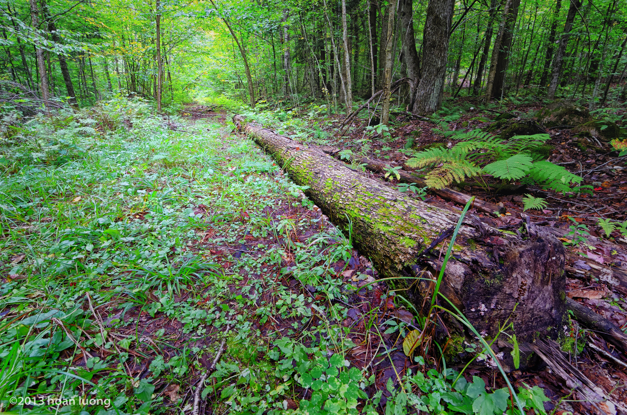
Woods trail
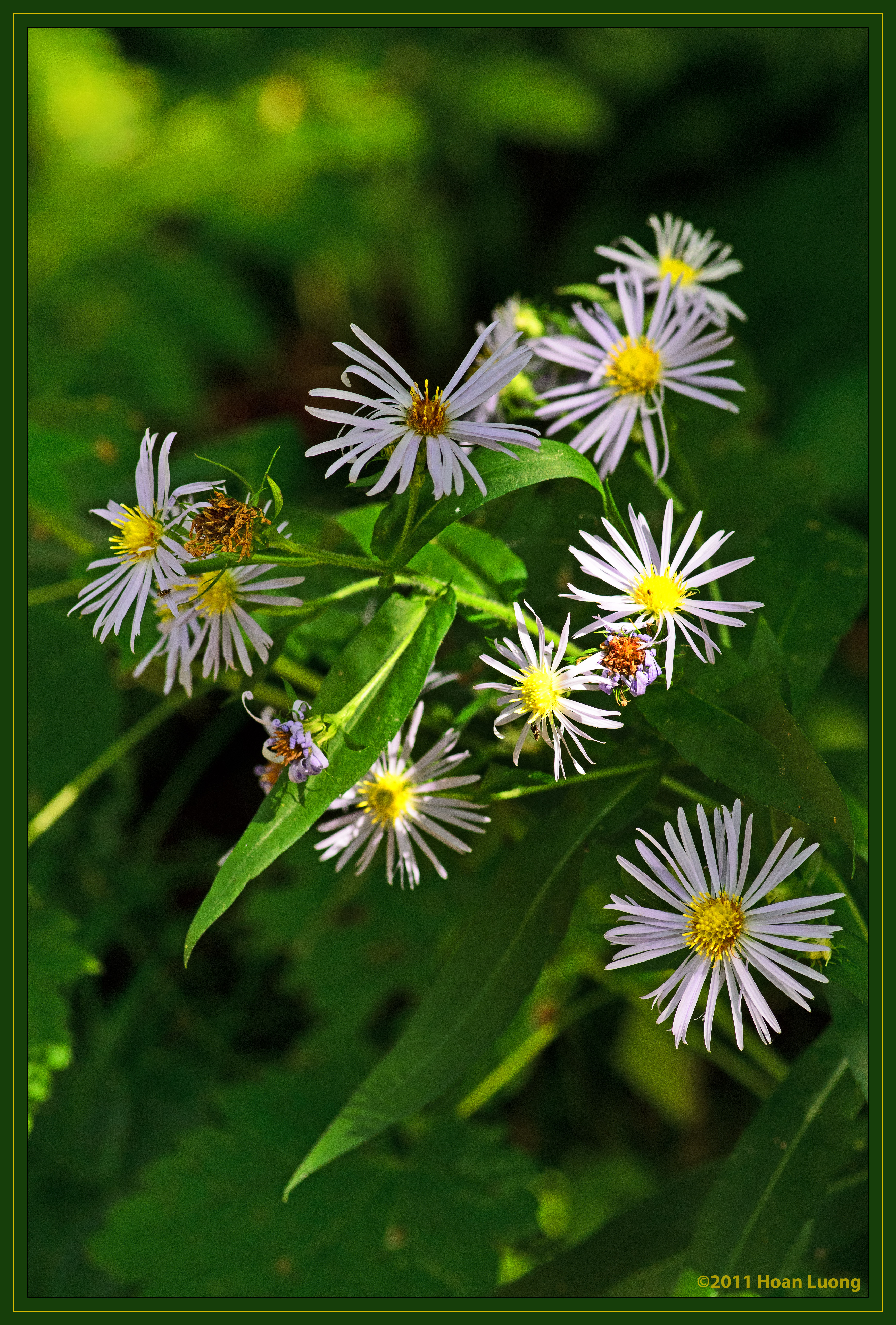
DOF - Wild flowers
Topographic Map of Huberdeau, QC J0T, Canada
Find elevation by address:

Places near Huberdeau, QC J0T, Canada:
112 Rue Du Fer à Cheval
Arundel
Huberdeau
732 Chemin De La Rivière Rouge
349 Route De Crystal Falls
349 Route De Crystal Falls
Chemin Burns
370 Chemin Du Pionnier
Chemin Du Domaine-pépin
Lac-macdonald
Brébeuf
J0v 1n0
Amherst
Harrington
Chemin Lavoie
Metro Mont-tremblant
Mont-tremblant
Saint-jovite
Rue Charbonneau
Rue De Saint Jovite
Recent Searches:
- Elevation of Corso Fratelli Cairoli, 35, Macerata MC, Italy
- Elevation of Tallevast Rd, Sarasota, FL, USA
- Elevation of 4th St E, Sonoma, CA, USA
- Elevation of Black Hollow Rd, Pennsdale, PA, USA
- Elevation of Oakland Ave, Williamsport, PA, USA
- Elevation of Pedrógão Grande, Portugal
- Elevation of Klee Dr, Martinsburg, WV, USA
- Elevation of Via Roma, Pieranica CR, Italy
- Elevation of Tavkvetili Mountain, Georgia
- Elevation of Hartfords Bluff Cir, Mt Pleasant, SC, USA